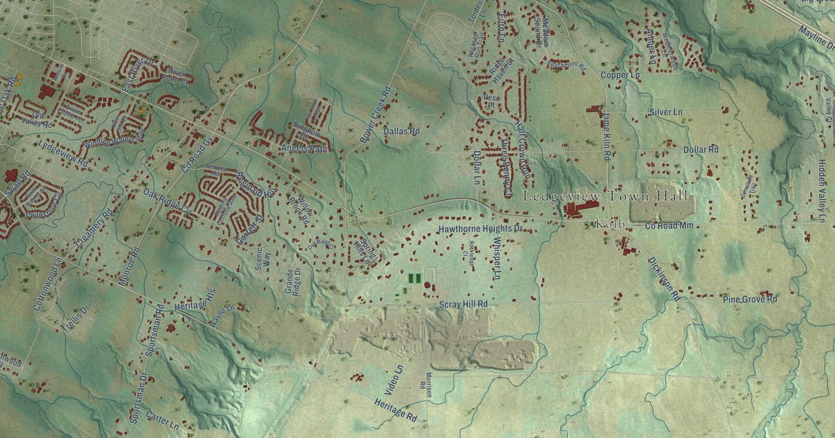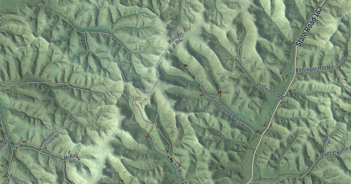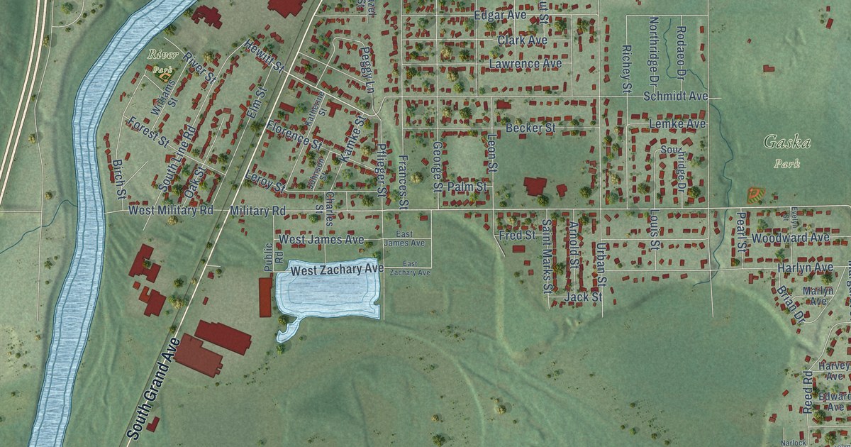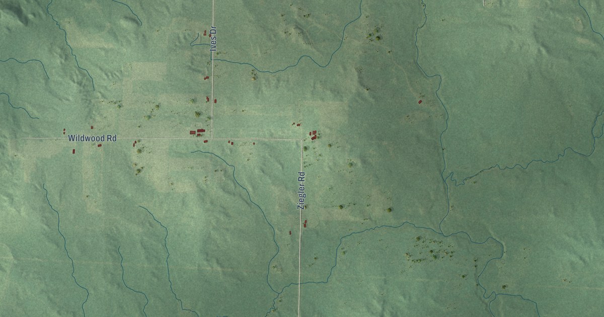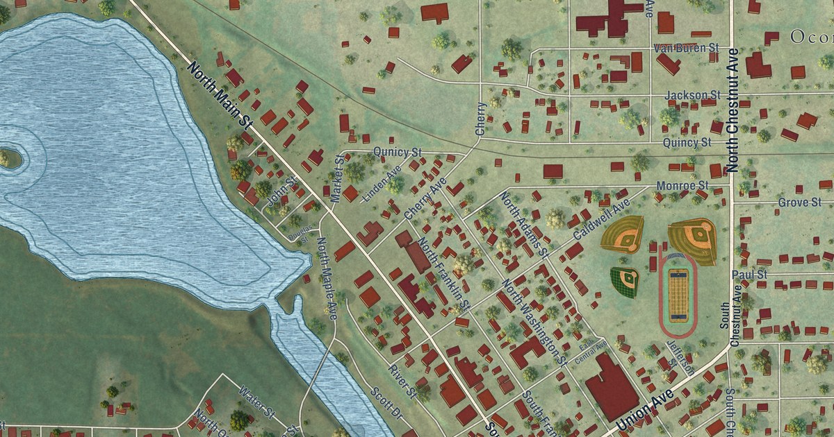
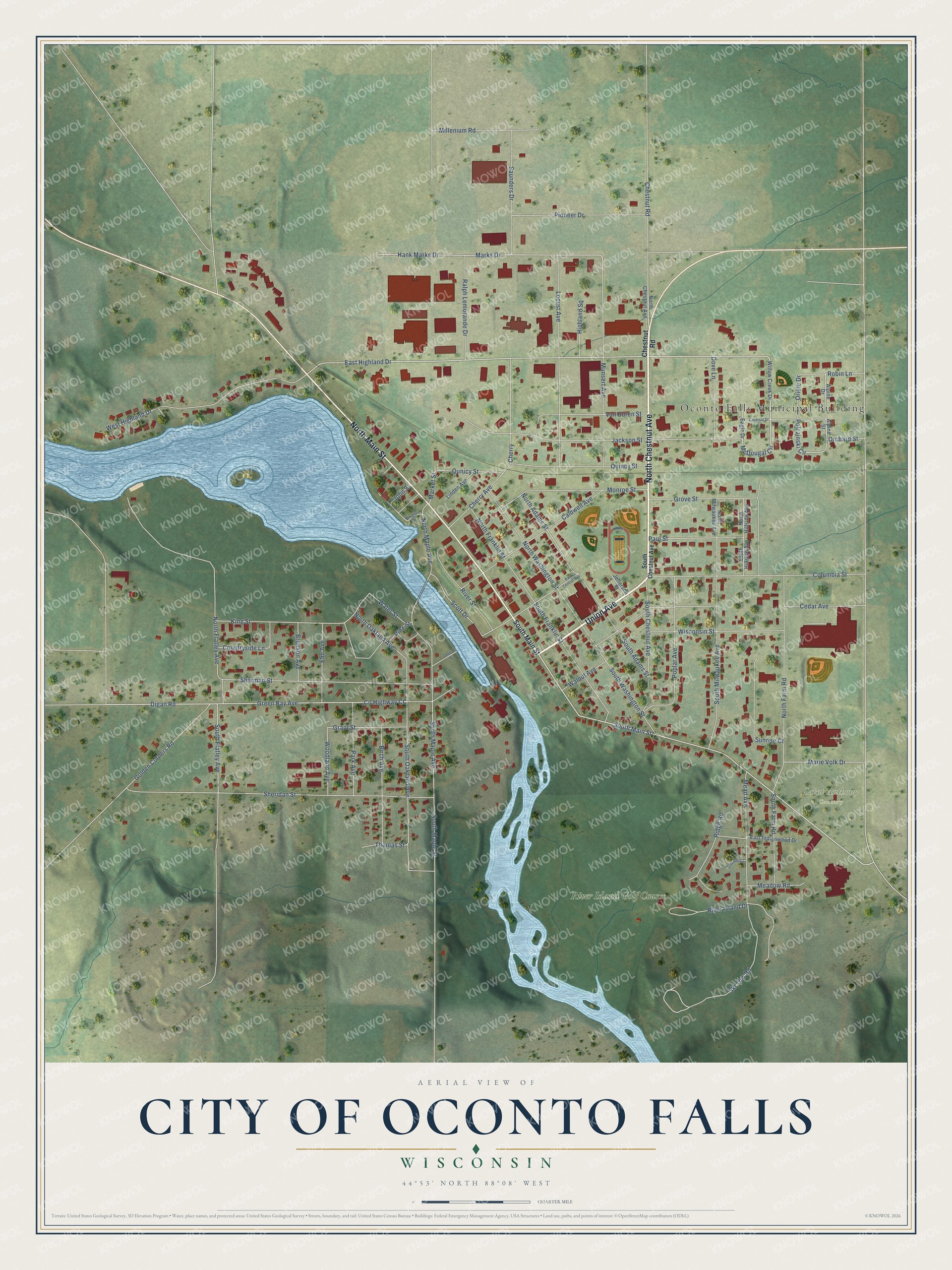
This beautifully detailed map of Oconto Falls, Wisconsin was created in 2026 using aerial imagery combined with modern topographical, census, street and landmark data. It's a modern aerial view of Oconto Falls in Oconto County, Wisconsin, that combines modern data with a vintage aesthetic. The roads feature printed names, and if you look closely you can find your exact house accurately shown in its correct location.
Explore an aerial view of Oconto Falls, Wisconsin
On this map you'll find Oconto Falls Municipal Building, Saint Anthony Cemetery, River Island Golf Course, North Chestnut Avenue, Union Avenue, North Main Street, South Main Street, McDougal Circle, East Highland Drive, Polczinski Circle, Hank Marks Drive, Marks Drive, and more. Each red shape is a building, so zoom in on the preview and look for yours.
Every town has a first chapter, and Oconto Falls is no exception. The Oconto County Historical Society puts it this way: "The water falls in the Oconto River was the site of first sawmill in Oconto Falls built by the Volk family around which the modern city grew."
Oconto Falls is a city in Oconto County. The Census Bureau counted 2,957 people here in 2020.
Take a closer look at the Oconto Falls map
Names on this map
These names are printed on this map.
Places: Oconto Falls Municipal Building, Saint Anthony Cemetery and River Island Golf Course.
Streets and roads: North Chestnut Avenue, Union Avenue, North Main Street, South Main Street, McDougal Circle, East Highland Drive, Polczinski Circle, Hank Marks Drive, Marks Drive, Digan Road, South Flatley Avenue, Marie Volk Drive.
More street names, A to Z
Alpine Drive, Alpine Street, Birch Avenue, Bronson Avenue, Caldwell Avenue, Cardinal Drive, Cedar Avenue, Central Street, Cherry, Cherry Avenue, Chestnut Road, Columbia Street, Countryside Lane, County Highway CC, Douglas Street, Dove Lane, Eagle Drive, East Central Avenue, East Indianwood Drive, Elm Avenue, Golden Corners Road, Grant Street, Green Bay Avenue, Grove Street, Highland Square, Jackson Street, Jefferson Street, John Street, King Street, Linden Avenue, Locust Avenue, Market Street, Mead Avenue, Meadow Road, Millenium Road, Monroe Street, Munsert Avenue, North Adams Street, North Farm Road, North Flatley Avenue, North Franklin Street, North Hillside Avenue, North Maple Avenue, North Milwaukee Avenue, North Oakland Avenue, North Washington Street, Oakwood Court, Orchard Street, Oriole Drive, Park Avenue, Paul Street, Pine Street, Pioneer Drive, Poplar Avenue, Quincy Street, Qunicy Street, Ralph Lemorande Drive, Ridge Road, River Island Drive, River Street, Robin Lane, Saunders Drive, Scott Drive, Sheridan Street, Sherman Street, Ski Tow Road, South Adams Street, South Chestnut Avenue, South Farm Road, South Franklin Street, South Hillside Avenue, South Maple Avenue, South Maple Street, South Milwaukee Avenue, South Oakland Avenue, South Washington Street, Sunrise Court, Thomas Street, Van Buren Street, Walnut Avenue, Water Street, West Highland Drive, Willow Creek Drive, Wisconsin Street, Woodland Avenue.
Created by KNOWOL in 2026. The buildings are small red shapes, the roads carry their printed names, and shaded relief shows the shape of the land. The title panel reads "AERIAL VIEW OF CITY OF OCONTO FALLS, WISCONSIN" with 44°53' NORTH 88°08' WEST.
Hang it in the hallway, the office or the cabin, or give it to someone who left Oconto Falls and still calls it home. Open the preview and look for a street you know. See sizes and frames for the Oconto Falls map.