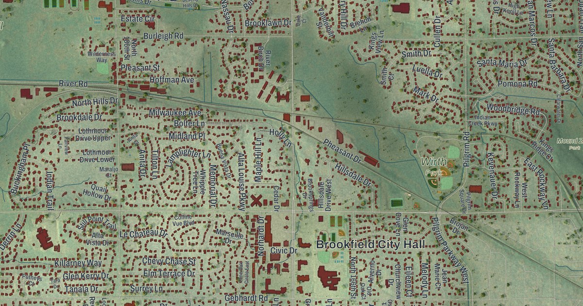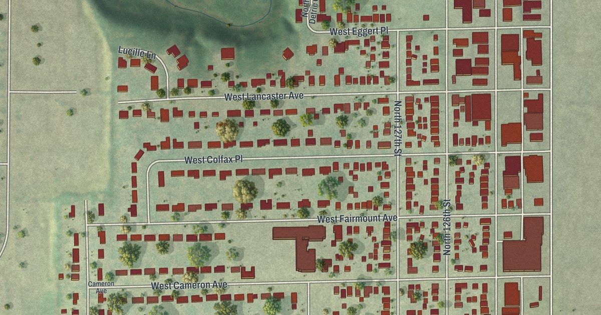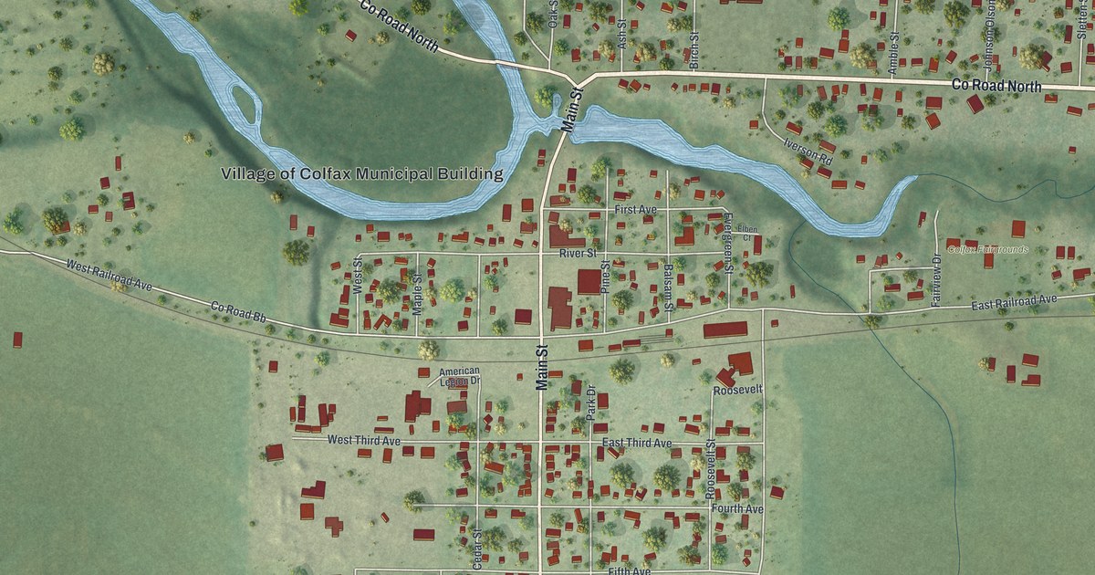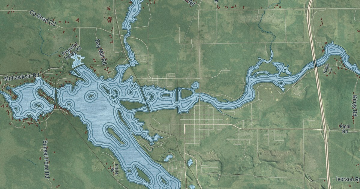
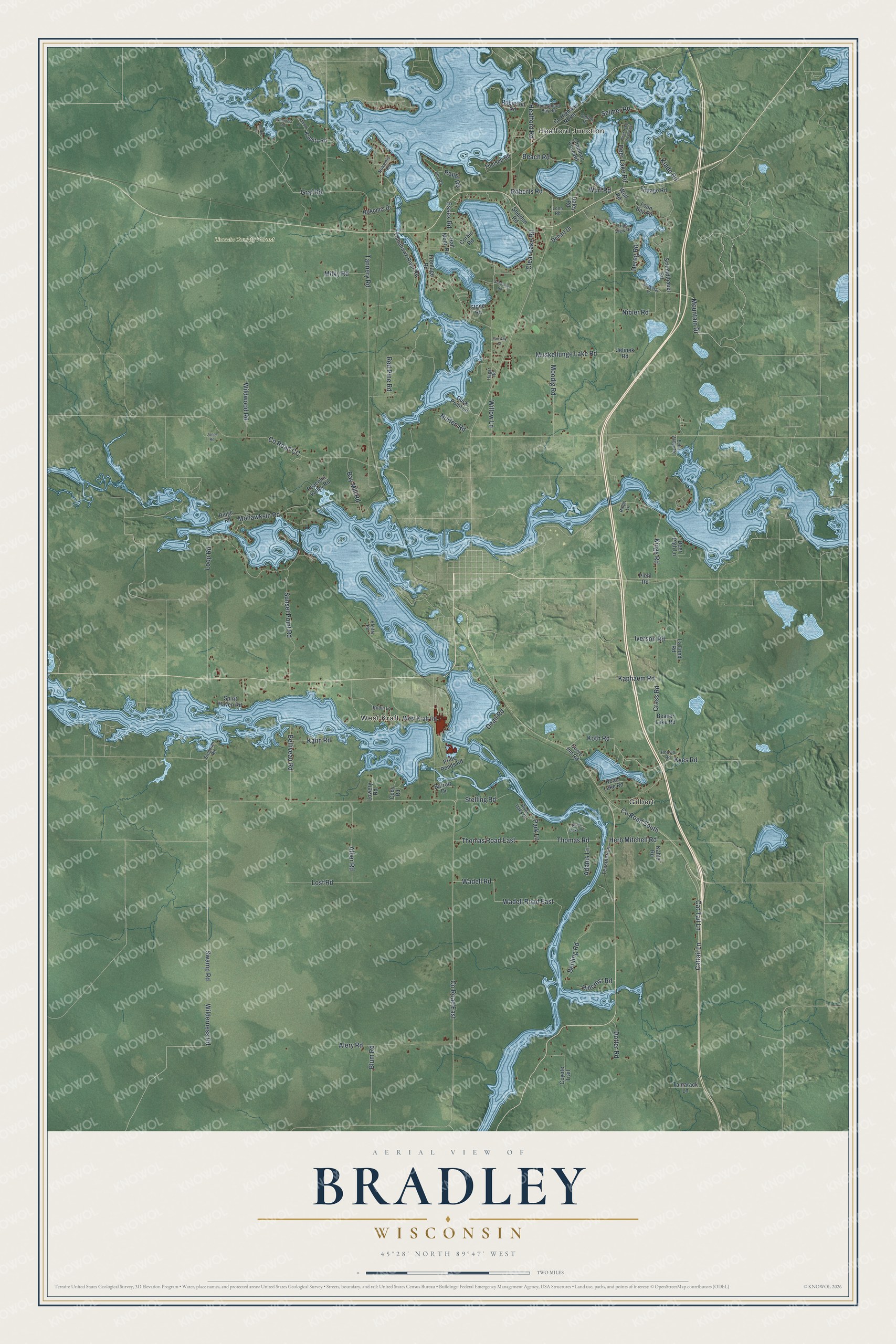
This beautifully detailed map of Bradley, Wisconsin was created in 2026 using aerial imagery combined with modern topographical, census, street and landmark data. It's a modern aerial view of Bradley in Lincoln County, Wisconsin, that combines modern data with a vintage aesthetic. The roads feature printed names, and if you look closely you can find your exact house accurately shown in its correct location.
Explore an aerial view of Bradley, Wisconsin
On this map you'll find Heafford Junction, Gilbert, West Kraft, Lincoln County Forest, Co Road South, Koth Road, Crass Road, Rapel Road, Clear Lake Road, Thomas Road East, Co Road East, Muskellunge Lake Road, and more. Each red shape is a building, so zoom in on the preview and look for yours.
Bradley is a town in Lincoln County. The Census Bureau counted 2,382 people here in 2020. The map prints the town name in its title panel, with the coordinates below it.
Take a closer look at the Bradley map
Names on this map
These names are printed on this map.
Places: Heafford Junction, Gilbert, West Kraft and Lincoln County Forest.
Streets and roads: County Road South, Koth Road, Crass Road, Rapel Road, Clear Lake Road, Thomas Road East, County Road East, Muskellunge Lake Road, Tannery Road, Swamp Road, Wilderness Road, Loop Road.
More street names, A to Z
Adams Lane, Alber Road, Alery Road, Barrett Drive, Bay Mill Road, Beach Road, Beaver Lake Road, Behling Road, Belliveau Road, Birdie Lane, Blum Road, Cat Tail Lane, Cattail Lane, Chapman Cove Road, Cody Road, Colton Drive, Corbin Road, Cottage Road, County Highway North, County Road CC, Coyote Trail, Curve Inn Road, Daley Road, Dean Road, Deer Lake Road, Deer Lake Road East, Deer Path Lane, Dehart Drive, Dereg Road, Dotter Road, Duck Point Lane, Echo Valley Road, Ella Road, Essex Road, Fairway Drive, Frontage Road, Graf Road, Hagar Road, Half Moon Road, Heafford Road, Herb Mitchell Road, High View Road, Hillcrest Road, Honeymoon Bay Road, Hoov's Road, Iverson Road, Jelinek Road, Jones Road, Kablitz Road, Kahle Road, Kahn Road, Kaphaem Road, Kings Road, Klade Road, Kyes Road, La Fond Road, Lonn Road, Loon Bay Road, Lost Road, Lowery Road, McWilski Lane, Milky Road, Mohawksin Road, Moodig Road, Mountain Drive, Nibler Road, Nokomis Drive, Nokomis Road, Norten Road, Park Lane, Peaceful Valley Road, Pfeifer Road, Piehl Road, Pride Ponds Road, Ralph Lane, Red Pine Road, Ridge Road, River Oaks Drive, River Oaks Road, Road Lake Road, Roberts Road, Robin Lane, Robinson Road, Schepp Lane, Schlising Road, Schmidtbauer Road, Selmer Road, Sheldon Road, Spirit Haven Road, Stegman Road, Stelling Road, Stone Road, Sunset Point Road, Tamarack Lane, Tessmer Lane, Theisen Road, Thomas Road, Tomahawk River Road, Wadell Road, Wadell Road East, West Kraft Road, Wildwood Road, Willow Lane, Wimmer Road, Wolf Road, Wurl Road.
Created by KNOWOL in 2026. The buildings are small red shapes, the roads carry their printed names, and shaded relief shows the shape of the land. The title panel reads "AERIAL VIEW OF BRADLEY WISCONSIN" with 45°28' NORTH 89°47' WEST.
Hang it in the hallway, the office or the cabin, or give it to someone who left Bradley and still calls it home. Open the preview and look for a street you know. See sizes and frames for the Bradley map.