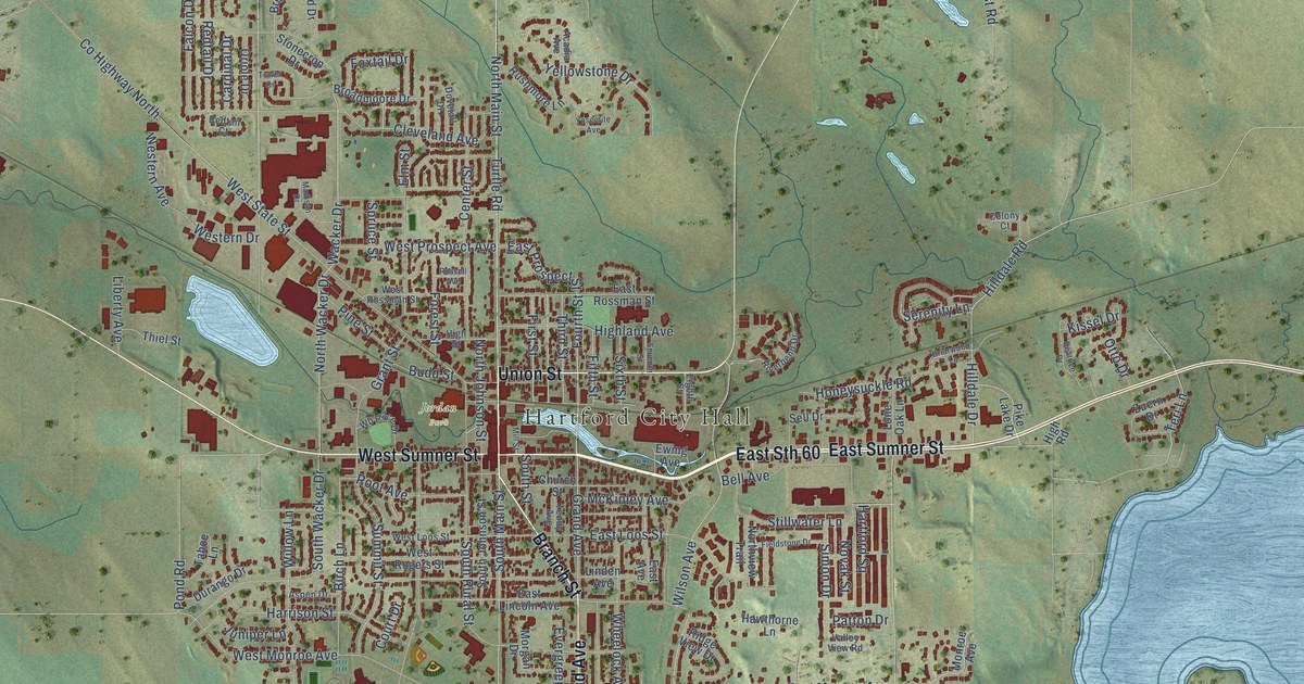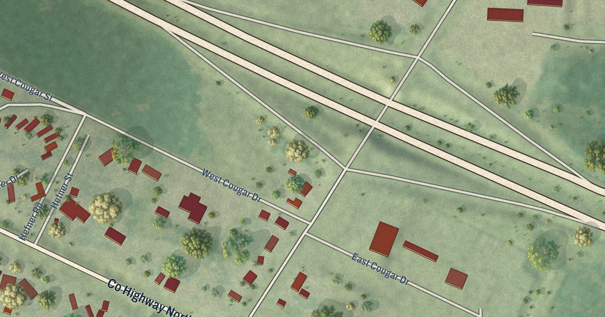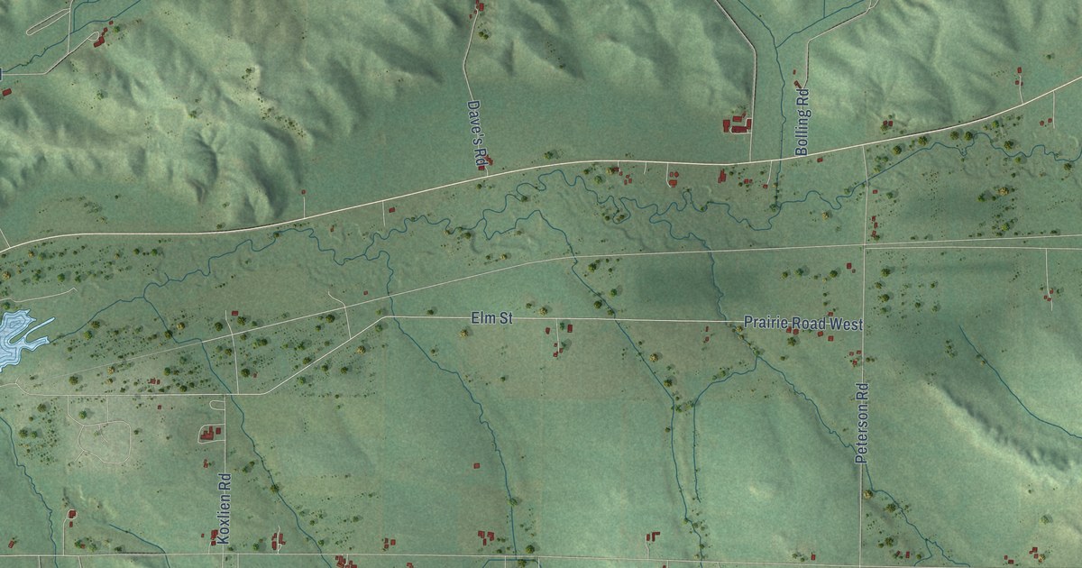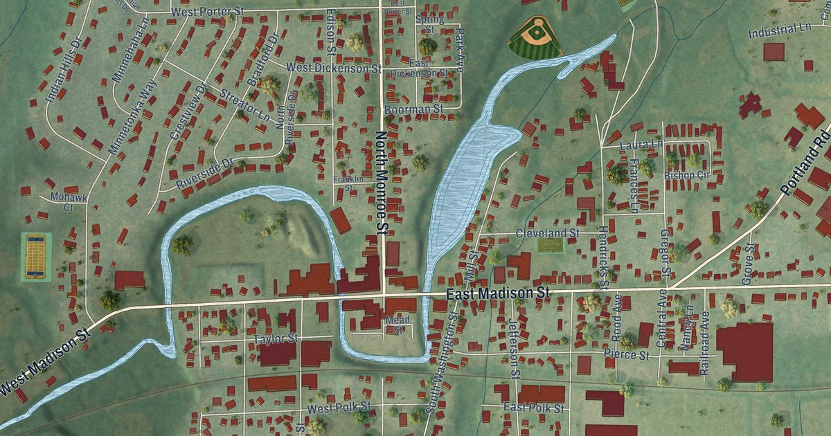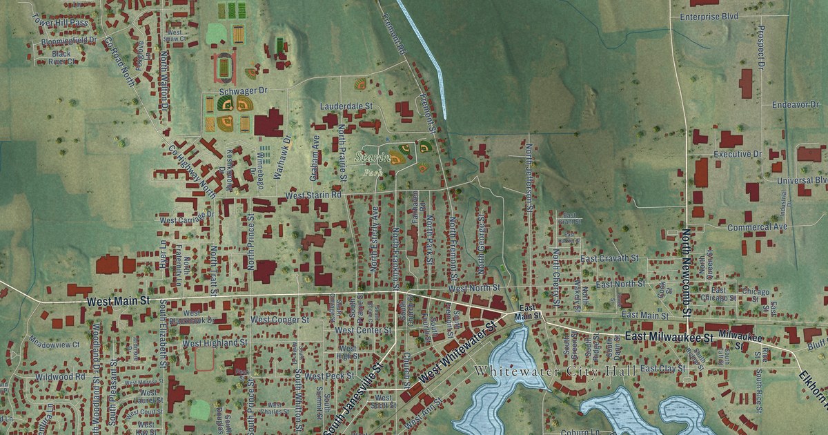
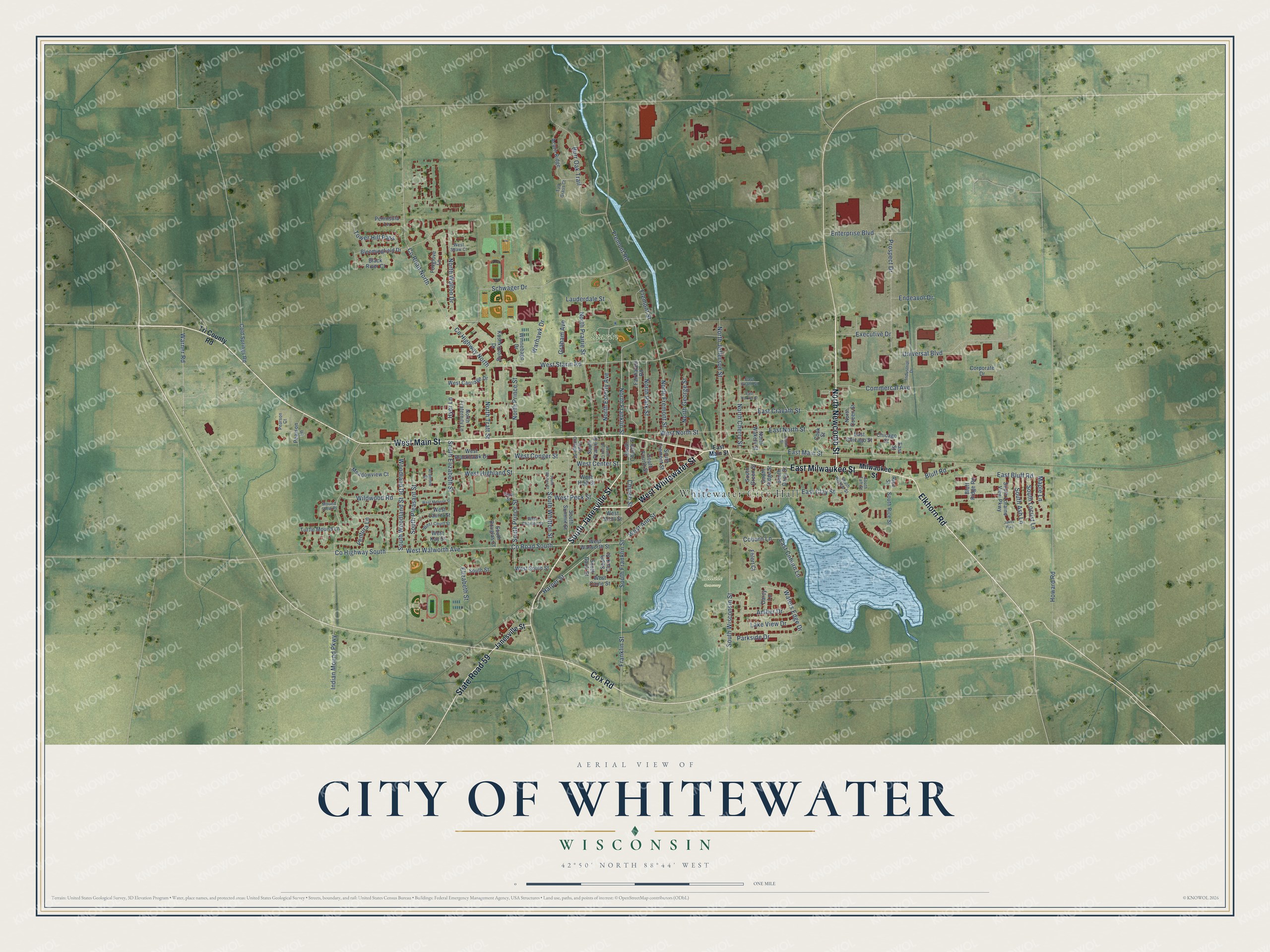
This beautifully detailed map of Whitewater, Wisconsin was created in 2026 using aerial imagery combined with modern topographical, census, street and landmark data. It's a modern aerial view of Whitewater in Walworth County, Wisconsin, that combines modern data with a vintage aesthetic. The roads feature printed names, and if you look closely you can find your exact house accurately shown in its correct location.
Explore an aerial view of Whitewater, Wisconsin
On this map you'll find Whitewater City Hall, Hillside Cemetery, Starin Park, South Janesville Street, North Newcomb Street, East Milwaukee Street, Elkhorn Road, West Main Street, West Whitewater Street, Cox Road, State Road 59, North Franklin Street, and more. Each red shape is a building, so zoom in on the preview and look for yours.
Every town has a first chapter, and Whitewater is no exception. The Internet Archive puts it this way: "Township 4 north, range 15 east, was at first one-quarter of the town
of Elkhorn."
Whitewater is a city in Walworth County. The Census Bureau counted 14,889 people here in 2020.
Take a closer look at the Whitewater map
Names on this map
These names are printed on this map.
Places: Whitewater City Hall, Hillside Cemetery and Starin Park.
Streets and roads: South Janesville Street, North Newcomb Street, East Milwaukee Street, Elkhorn Road, West Main Street, West Whitewater Street, Cox Road, State Road 59, North Franklin Street, Harper Street, East Bluff Road, Maple Lane.
More street names, A to Z
Acorn Ridge, Amber Drive, Ardmore Drive, Black River Court, Bloomingfield Drive, Bluff Ridge Road, Bluff Road, Burr Oak Trail, Chicago Street, Church Street, Coburn Lane, Cold Springs Road, Commercal Avenue, Cook Street, Corporate Drive, County Highway North, County Highway South, County Road North, County Road South, Darcy Lane, East Chicago Street, East Clay Street, East Coburn Lane, East Cravath Street, East Grant Street, East Harriet Street, East Main Street, East North Street, East Street, Ehlert Court, Elizabeth Street, Endeavor Drive, Enterprise Boulevard, Executive Drive, Fairhaven Road, Fonda Street, Foxglove Lane, Franklin Street, Fremont Road, Fremont Street, Graham Avenue, Howard Road, Hyer Lane, Indian Mound Parkway, Industrial Drive, Jakes Way, Janesville Street, Koshkonong Drive, Lake View Drive, Lauderdale Street, Meadowview Court, Milwaukee Street, Mound View Place, North Cherry Street, North Esterly Avenue, North Fraternity Lane, North Fremont Street, North George Street, North Jefferson Street, North Park Street, North Prairie Street, North Prince Street, North Queen Street, North Tratt Street, North Wakely Street, North Walton Drive, Parkside Drive, Pearson Court, Pearson Lane, Peck Street, Peninsula Lane, Prospect Drive, Rice Street, Schwager Drive, South Ash Lane, South Bishop Street, South Boone Court, South Church Street, South Clark Street, South Cottage Street, South Dann Street, South Douglas Court, South Elizabeth Street, South Fourth Street, South Franklin Street, South Fremont Street, South Gault Street, South Green Street, South Locust Lane, South Loraine View Parkway, South Pleasant Street, South Prairie Street, South Prince Street, South Rice Street, South Ridge Street, South Street, South Summit Street, South Taft Street, South Whiton Street, South Whitton Street, South Wisconsin Street, South Woodland Street, Tall Grass Court, Tower Hill Pass, Tri County Road, Turtle Mound Lane, Universal Boulevard, Ventura Lane, Warhawk Drive, Warner Road, Waters Edge Drive, West Ann Street, West Blackhawk Drive, West Caine Street, West Carriage Drive, West Center Street, West Charles Street, West Conger Street, West Court Street, West Highland Street, West High Street, West Kay Street, West Laurel Street, West Melrose Street, West North Street, West Peck Street, West Scott Street, West Shaw Court, West South Street, West Starin Road, West Walworth Avenue, West Walworth Street, Wildwood Road, Winnebago Drive, Woodland Drive.
Created by KNOWOL in 2026. The buildings are small red shapes, the roads carry their printed names, and shaded relief shows the shape of the land. The title panel reads "AERIAL VIEW OF CITY OF WHITEWATER, WISCONSIN" with 42°50' NORTH 88°44' WEST.
Hang it in the hallway, the office or the cabin, or give it to someone who left Whitewater and still calls it home. Open the preview and look for a street you know. See sizes and frames for the Whitewater map.