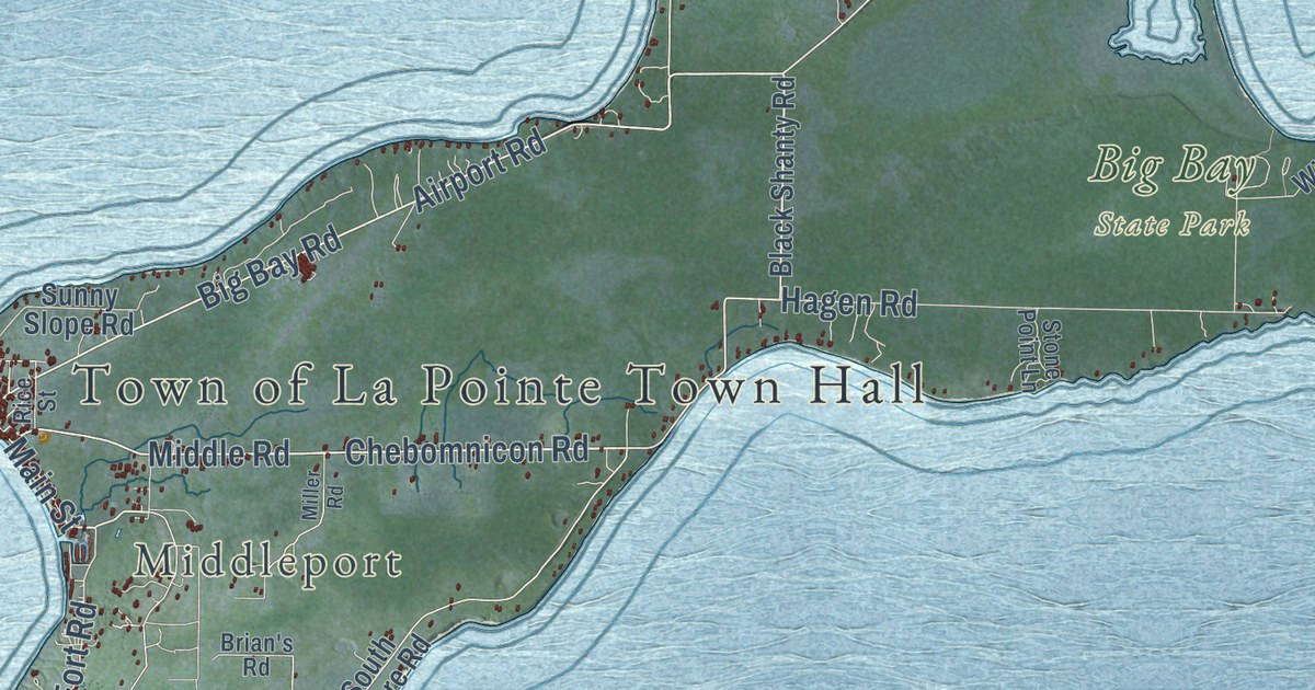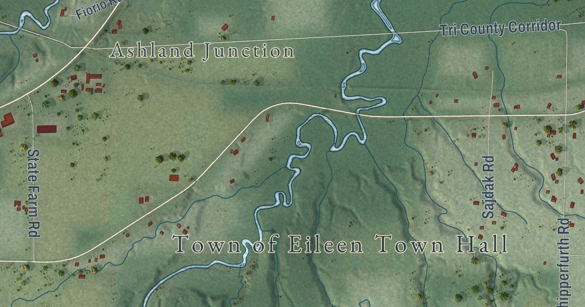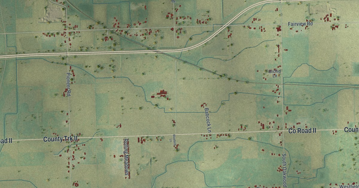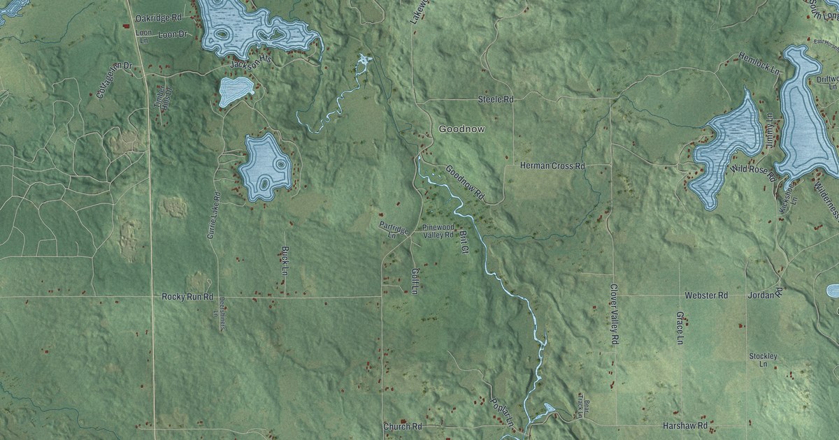
This beautifully detailed map of Cassian, Wisconsin was created in 2026 using aerial imagery combined with modern topographical, census, street and landmark data. It’s a one-of-a-kind view of Cassian that combines accurate data with a vintage aesthetic. The map shows every building in its true location, many of the roads carry their names, and the shaded topographic relief shows the shape of the land.
Explore an aerial view of Cassian, Wisconsin
On the map you’ll find Cassian Townhall, Harshaw, Goodnow, and Oneida County Memorial Forest, along with Sheep Ranch Road, South Shore Road, Hemlock Lane, Horsehead Lake Road, Clear Lake Road, Poskie Road, Borst Lane, Rocky Run Road, and more. If you look closely you can even find your house accurately drawn in its correct location. Zoom in on the preview to look for yours.
Did you know this piece of Cassian, Wisconsin history?
From the History of Lincoln Oneida and Vilas Counties: "Cassian was started as Cassanova Junction about 1885, a branch track being built off from the main line of the C., M. & St. P. railway for the transportation of log timber that was sent to Wausau."
Take a closer look at the Cassian map
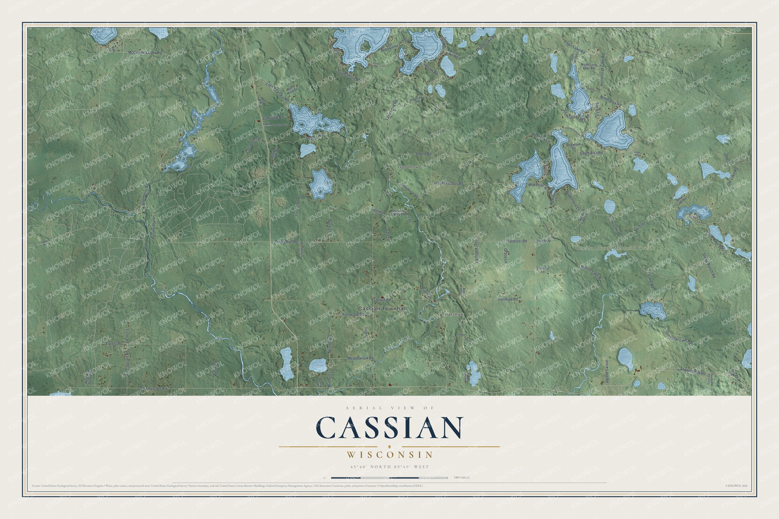
Street and place names on the Cassian, Wisconsin map
These names are printed on the map of Cassian, Wisconsin.
Places: Cassian Townhall, Harshaw, Goodnow and Oneida County Memorial Forest.
Streets and roads: Sheep Ranch Road, South Shore Road, Hemlock Lane, Horsehead Lake Road, Clear Lake Road, Poskie Road, Borst Lane, Rocky Run Road, Lakewood Road, Swamp Lake Road, Harshaw Road, Goodnow Road.
More street names, A to Z
Acorn Lane, Balsam Road, Bear Track Lane, Birch Lake Road, Boden Road, Brit Court, Buck Lane, Church Road, Clover Valley Road, Cottage Inn Drive, Cranberry Road, Currie Lake Road, Deershiners Lane, Driftwood Lane, Dusty Road, East Bearskin Road, East Horsehead Heights, Elna Lake Road, Elsner Road, Fawn Lake Road, Fernwood Road, Forest Road, Golf Lane, Goodyear Lake Road, Grace Lane, Grand Pines Drive, Hemlock Road, Herman Cross Road, Island Road, Jackson Heights, Jimmy Lane, Jordan Road, Josie Lake Road, Kellenhauser Drive, Kickshoe Lane, Liege Lake Road, Little Bearskin Road, Loon Drive, Loon Lane, Maple Lane, McCormick Lake Road, Meadowlark Road, Mitchell Drive, Mitchell Lane, North Alva Road, North Long Lake Road, North Wind Drive, O'Day Lake Road, Oak Drive, Oak Lane, Oakridge Road, Ole Lake Road, Onieda Cty Landfill Road, Partridge Lane, Pine Square Road, Pinewood Valley Road, Ponderosa Court, Poplar Lane, Ridgeview Drive, Running Bear Lane, Sand Lake Road, Seed Lake Road, Ski Trail, Snowmobile Road, South Alva Road, South Doe Lane, South Long Lake Road, Spruce Lake Lane, Spruce Lake Road, Steele Road, Stockley Lane, Timber Hills Drive, Timber Lake Road, Timber Lane Drive, Tower Road, Webster Road, West Pine Square Road, Wilderness Lane, Wild Rose Road, Wood Road.
See the Cassian, Wisconsin map on a wall
The Cassian map as an 18 x 24 inch print in a black frame.

This beautifully detailed map of Cassian makes an attractive addition to your office, library, or den, and it can even be used to teach children the geography and history of the area. It also makes a great gift for someone who left Cassian and still calls it home. When you’re done exploring, click here to get your copy of the Cassian map.