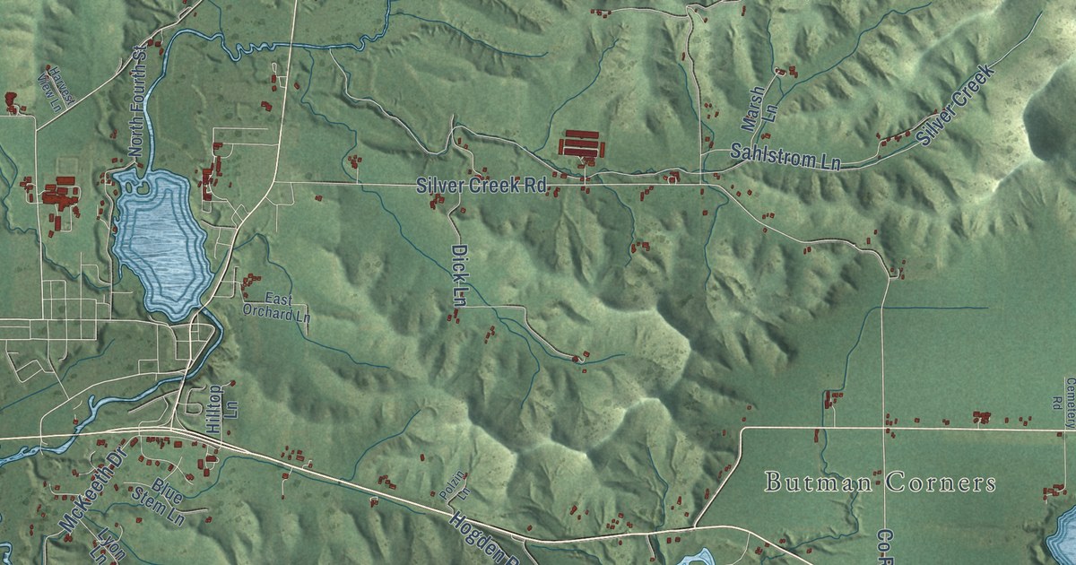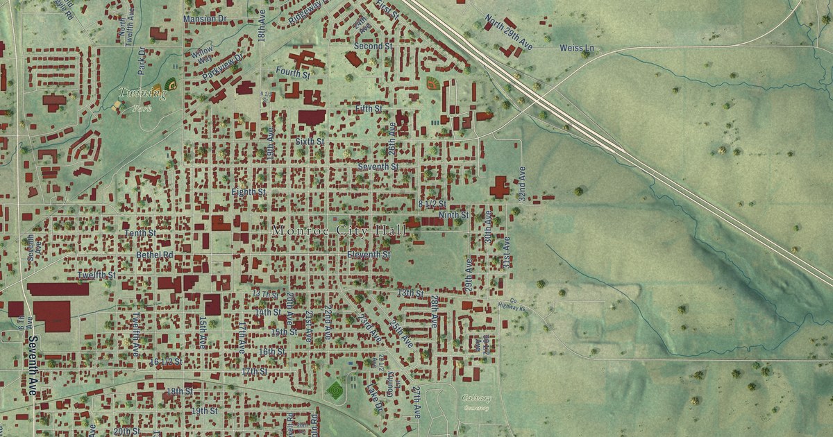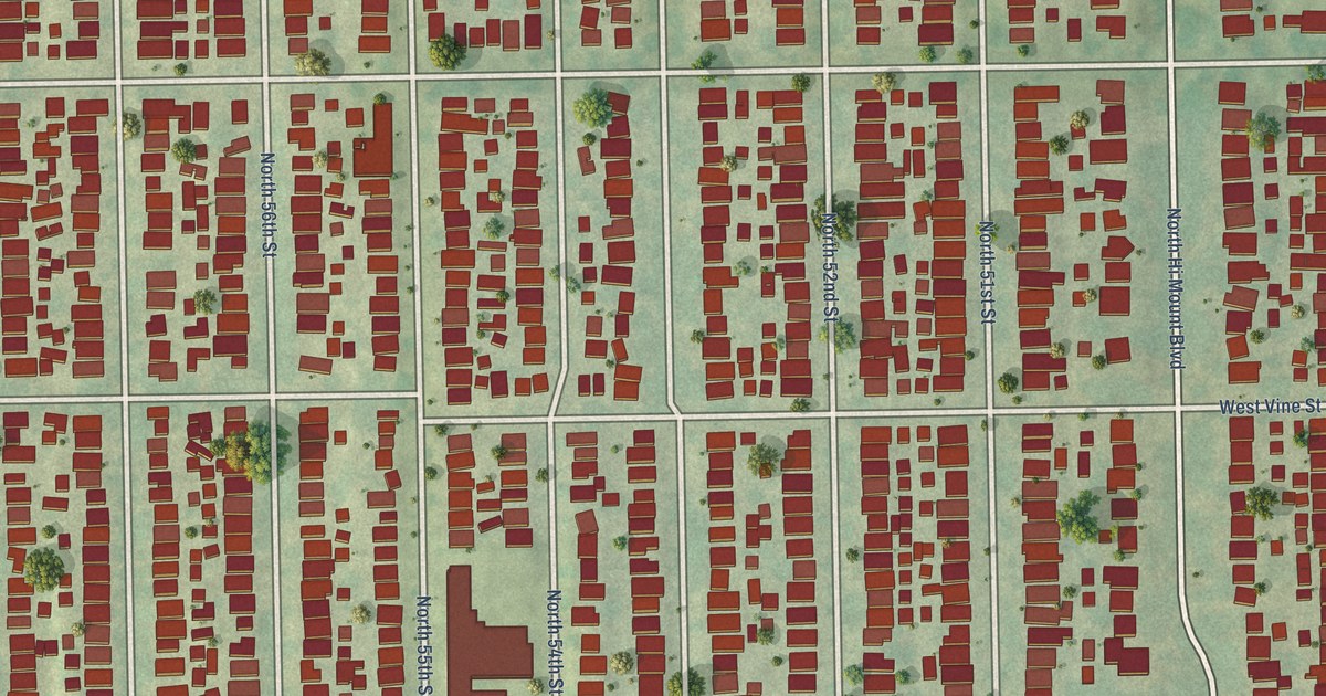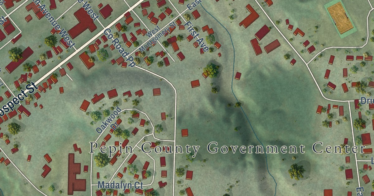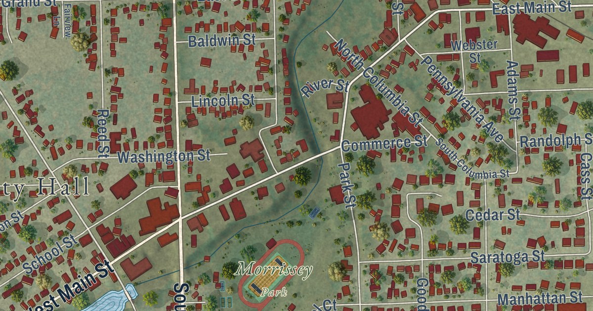
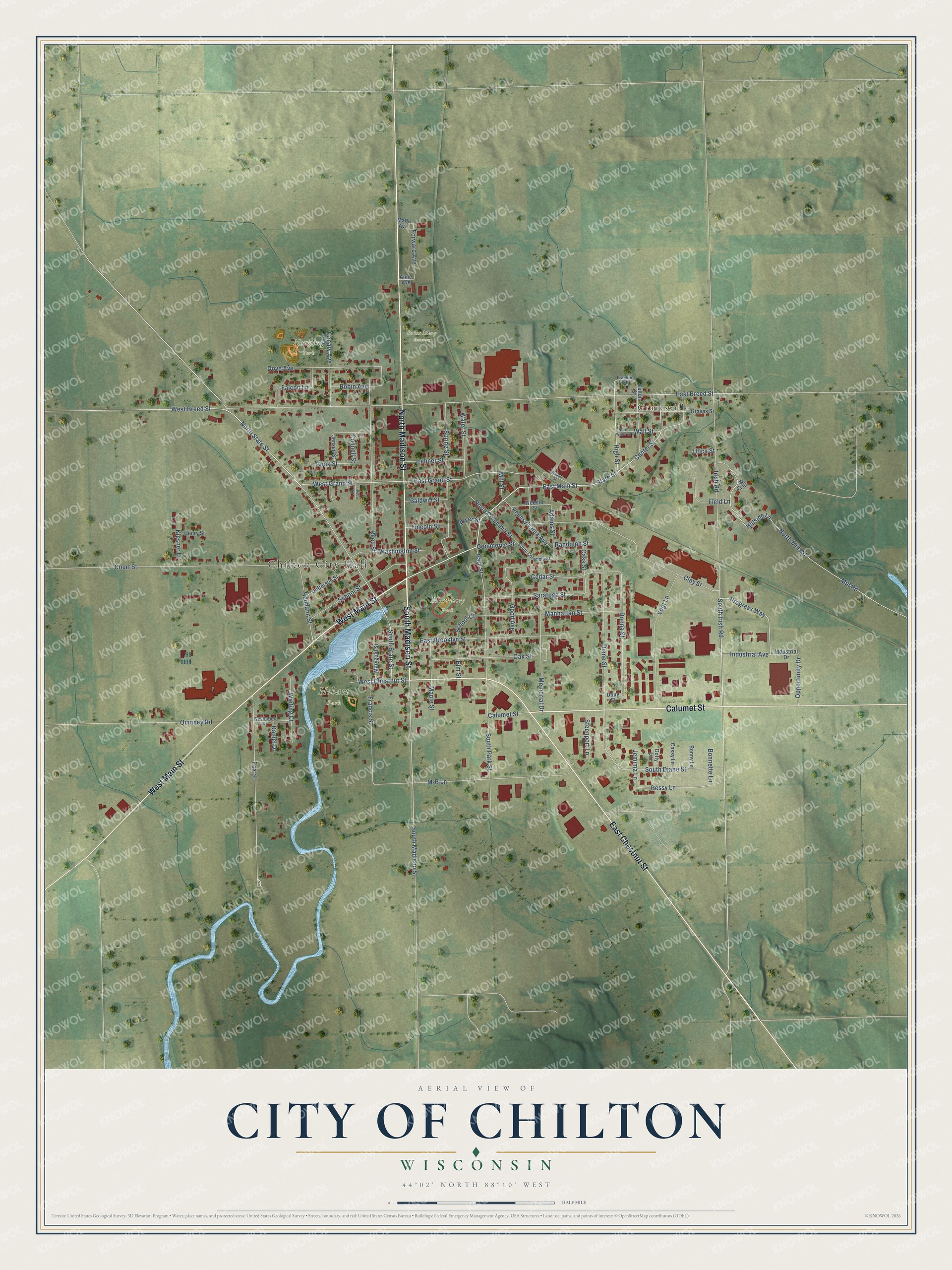
This beautifully detailed map of Chilton, Wisconsin was created in 2026 using aerial imagery combined with modern topographical, census, street and landmark data. It’s a one-of-a-kind view of Chilton that combines accurate data with a vintage aesthetic. The map shows every building in its true location, many of the roads carry their names, and the shaded topographic relief shows the shape of the land.
Explore an aerial view of Chilton, Wisconsin
On the map you’ll find Chilton City Hall, Gravesville, Hobart Park, Morrissey Park, Nenning Park, and Saint Mary Cemetery, along with South Madison Street, West Main Street, North Madison Street, East Chestnut Street, Calumet Street, East Main Street, and more. If you look closely you can even find your house accurately drawn in its correct location. Zoom in on the preview to look for yours.
Did you know this piece of Chilton, Wisconsin history?
From the City of Chilton: "On Feb. 2, 1852, the Breeds settled in the territory which several years later became Chilton."
Take a closer look at the Chilton map
Street and place names on the Chilton, Wisconsin map
These names are printed on the map of Chilton, Wisconsin.
Places: Chilton City Hall, Gravesville, Hobart Park, Morrissey Park, Nenning Park and Saint Mary Cemetery.
Streets and roads: South Madison Street, West Main Street, North Madison Street, East Chestnut Street, Calumet Street, East Main Street, State Street, Irish Road, South Irish Road, West Chestnut Street, Center Street, High Street.
More street names, A to Z
Adams Street, Anne Avenue, Baldwin Street, Bessy Lane, Bonk Street, Bonnette Lane, Bonny Lane, Canary Avenue, Cass Street, Cassy Lane, Cedar Street, Clay Street, Commerce Street, Connell Street, Court Street, Daniel Drive, Diane Street, Donna Street, Dotty Lane, Doug Street, Dove Avenue, East Breed Street, East Brooklyn Street, East Grand Street, Elm Street, Fairview Lane, Falcon Lane, Field Lane, Forward Avenue, Fox Street, Francis Street, Franklin Street, Fulton Street, Good Avenue, Graves Street, Heimann Street, Henry Street, Hillside Lane, Industrial Avenue, Industrial Drive, Jefferson Street, Jemima Lane, Jensen Street, Kiesner Drive, Lehner Street, Lincoln Street, M-B Lane, Manhattan Street, Maple Street, Mary Avenue, Marygold Street, Memorial Drive, Mill Court, Mill Road, Mill Street, North Columbia Street, North Mill Road, North State Street, North Water Street, Oak Street, Opportunity Drive, Park Street, Pennsylvania Avenue, Progress Way, Quinney Road, Randolph Street, Reed Street, River Street, Robin Avenue, Saratoga Street, School Court, School Street, South Columbia Street, South Diane Street, South Park Street, South State Street, Spring Street, Steenport Lane, Utica Street, Vogt Lane, Wall Street, Walnut Street, Washington Street, Water Street, Webster Street, West Breed Street, Westbrook Drive, West Grand Street, Wieting Court.
See the Chilton, Wisconsin map on a wall
The Chilton map as an 18 x 24 inch print in a black frame.

This beautifully detailed map of Chilton makes an attractive addition to your office, library, or den, and it can even be used to teach children the geography and history of the area. It also makes a great gift for anyone with Chilton roots. When you’re done exploring, click here to get your copy of the Chilton map.