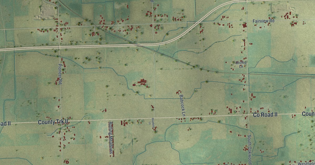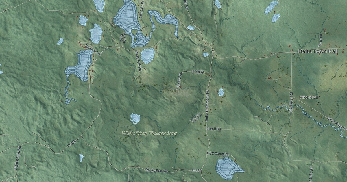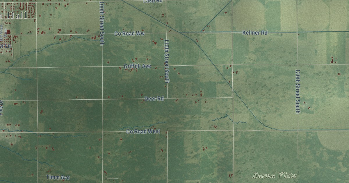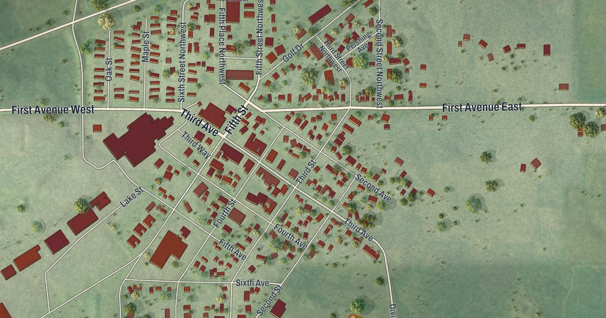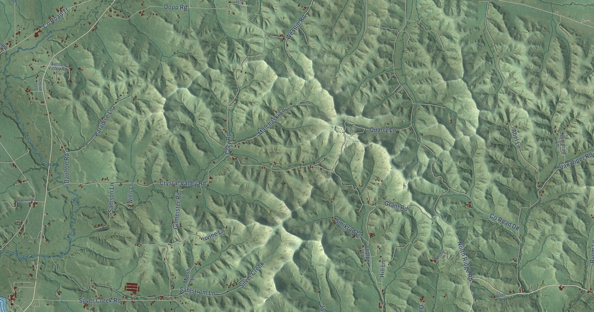
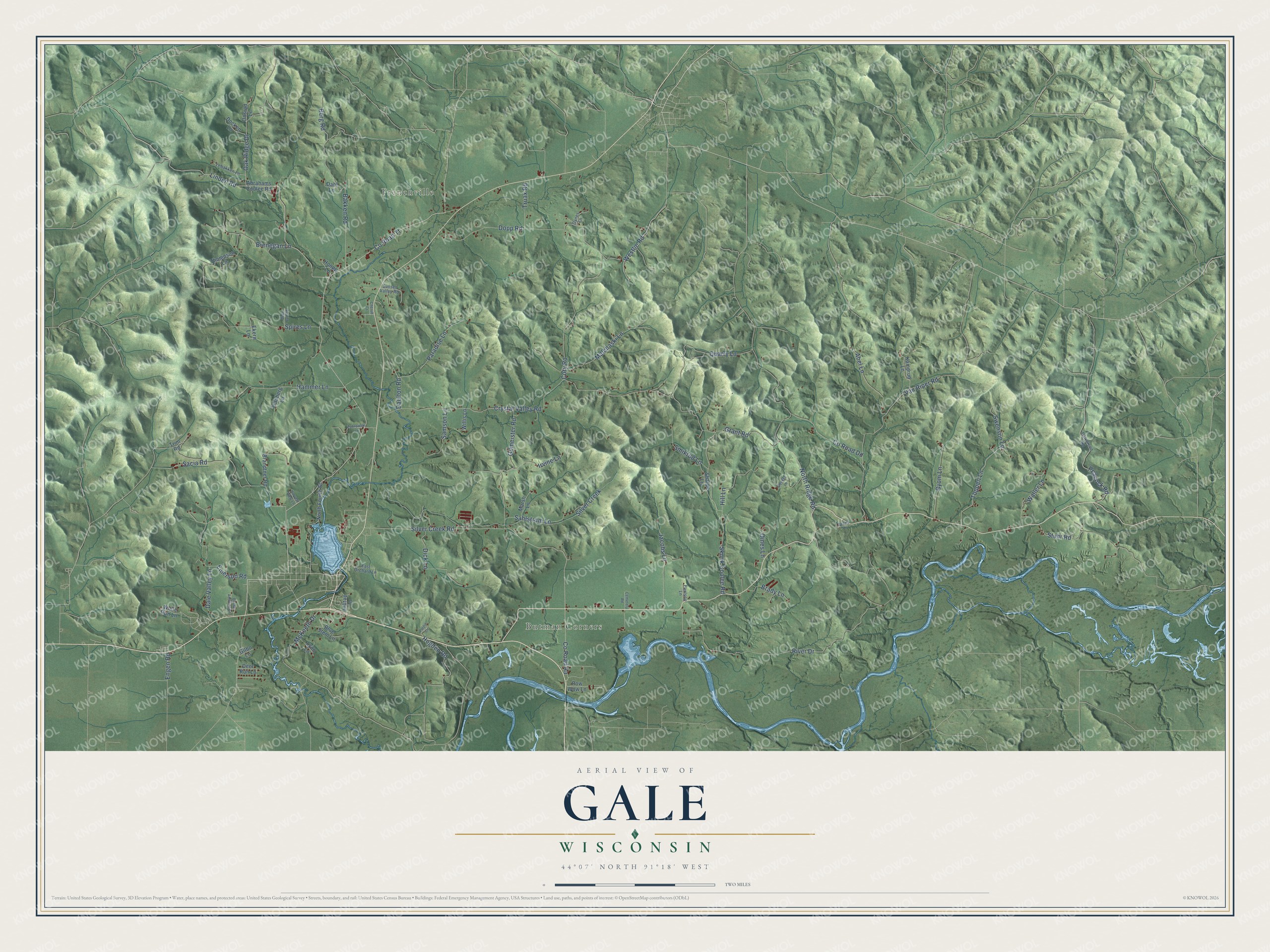
This beautifully detailed map of Gale, Wisconsin was created in 2026 using aerial imagery combined with modern topographical, census, street and landmark data. It's a modern aerial view of Gale in Trempealeau County, Wisconsin, that combines modern data with a vintage aesthetic. The roads feature printed names, and if you look closely you can find your exact house accurately shown in its correct location.
Explore an aerial view of Gale, Wisconsin
On this map you'll find Frenchville, Butman Corners, Linden Road, Co Road Aa, Silver Creek Road, River Drive, Crystal Valley Road, Silver Creek, Oak Ridge Drive, Co Road Dd, Dopp Road, McKeeth Drive, and more. Each red shape is a building, so zoom in on the preview and look for yours.
Gale has a story worth telling. The Historical Marker Database puts it this way: "Her stage adaptation of the novel the following year was equally successful and Gale became the first woman to win the Pulitzer Prize for drama."
Gale is a town in Trempealeau County. The Census Bureau counted 1,708 people here in 2020.
Take a closer look at the Gale map
Names on this map
These names are printed on this map.
Places: Frenchville and Butman Corners.
Streets and roads: Linden Road, County Road Aa, Silver Creek Road, River Drive, Crystal Valley Road, Silver Creek, Oak Ridge Drive, County Road Dd, Dopp Road, McKeeth Drive, Skunk Coulee Road, Sacia Road.
More street names, A to Z
Abel Lane, Abrahams Coulee Road, Bakken Road, Becker Lane, Berg Road, Blue Stem Lane, Brady Lane, Brandtner Road, Brenegan Lane, Brown Addition Lane, Byom Lane, Cemetery Road, Cherub Court, Cory Road, County Road Tt, Dahl Lane, Dale Valley Lane, Daulton Road, Deer Run Lane, Deer Run Road, Dezale Lane, Dick Lane, Docken Lane, East Orchard Lane, Ekern Lane, Emerson Road, Engen Road, Gilbo Lane, Gilmeister Road, Grant Road, Halvorson Road, Hammer Lane, Harvest View Lane, Hill Lane, Hilltop Lane, Hogden Road, Hoopp Lane, Irvine Lane, Jacobs Lane, Kamprud Lane, Lebakken Lane, Lyon Lane, Malchaski Lane, Marsh Lane, North Fourth Street, North Ridge Road, Oines Lane, Onsrud Lane, Oynes Lane, Paradise Lane, Paulson Lane, Peacock Road, Polzin Lane, Pow Wow Lane, Quarry Lane, Sahlstrom Lane, Samson Lane, Sharpe Lane, Smikrud Lane, Spires Lane, Stuhr Road, Sunset Valley Road, Swenson Lane, Thompson Lane, Toppen Lane, Tranberg Lane, Trim Road, Truax Road, Van Riper Road, Waller Lane, Westlie Road, Willis Lane, Wolfe Run Lane, Zabrowski Lane.
Created by KNOWOL in 2026. The buildings are small red shapes, the roads carry their printed names, and shaded relief shows the shape of the land. The title panel reads "AERIAL VIEW OF GALE, WISCONSIN" with 44°07' NORTH 91°18' WEST.
It looks right in a kitchen, an office or a den, and it's a gift for anyone who grew up in Gale or moved away. Open the preview and find your street. See sizes and frames for the Gale map.