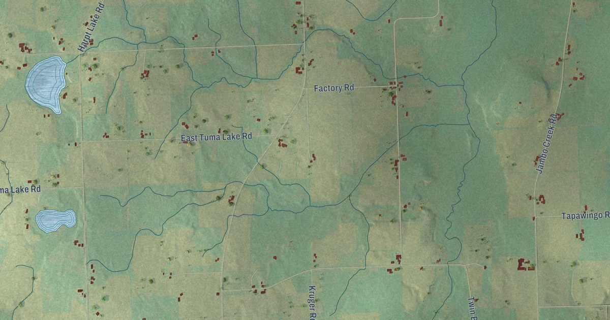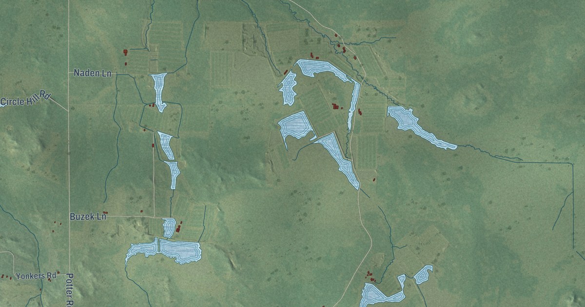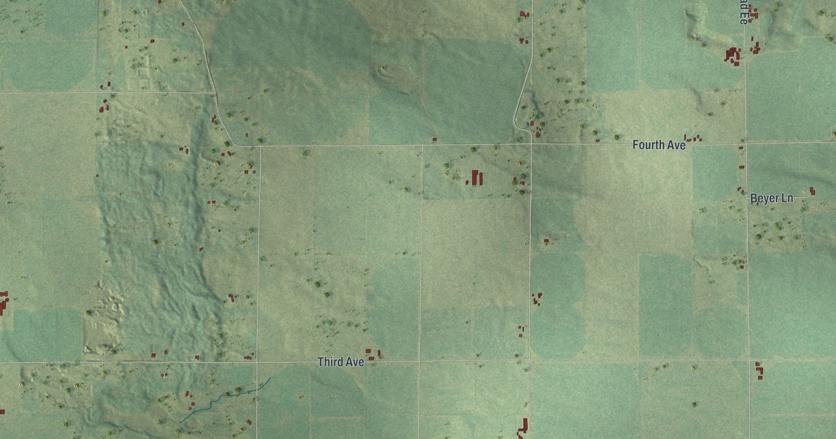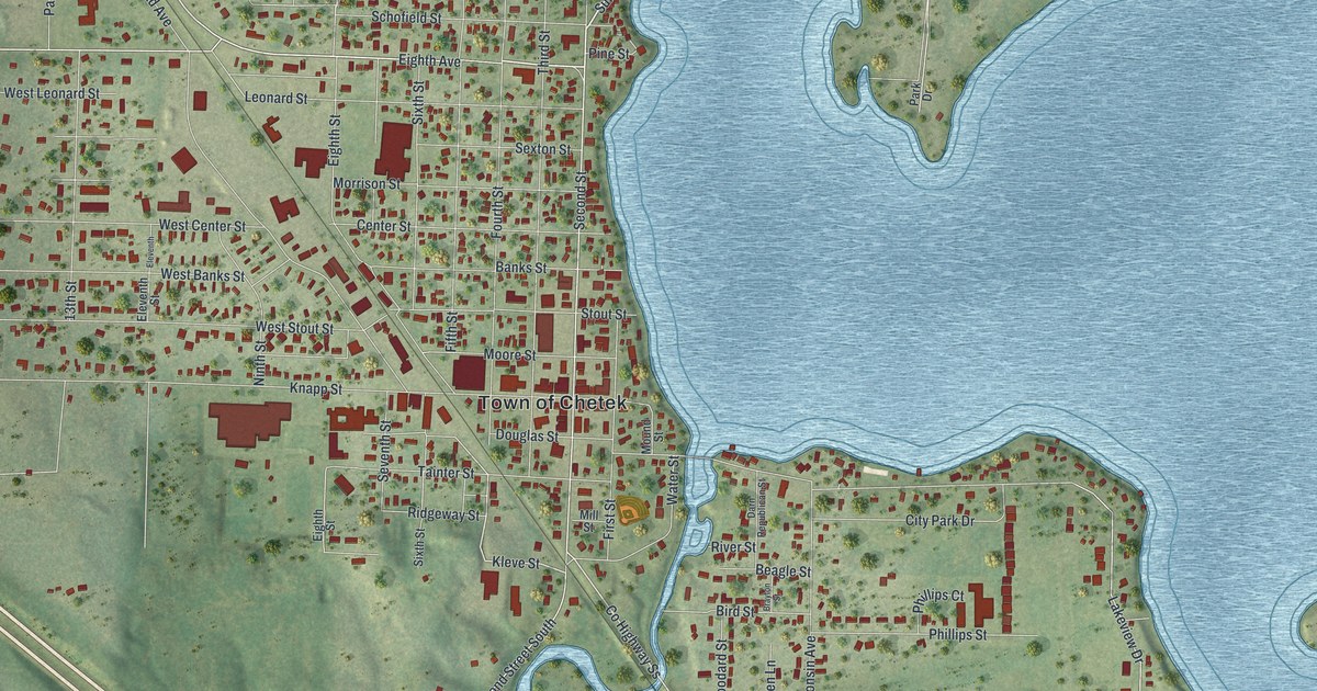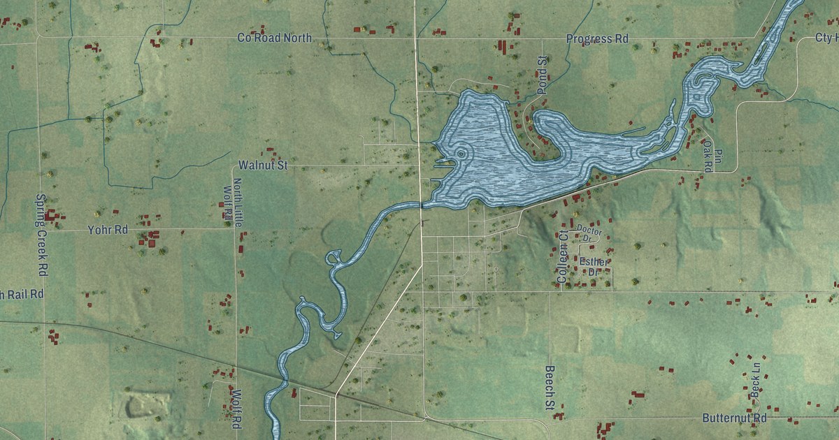
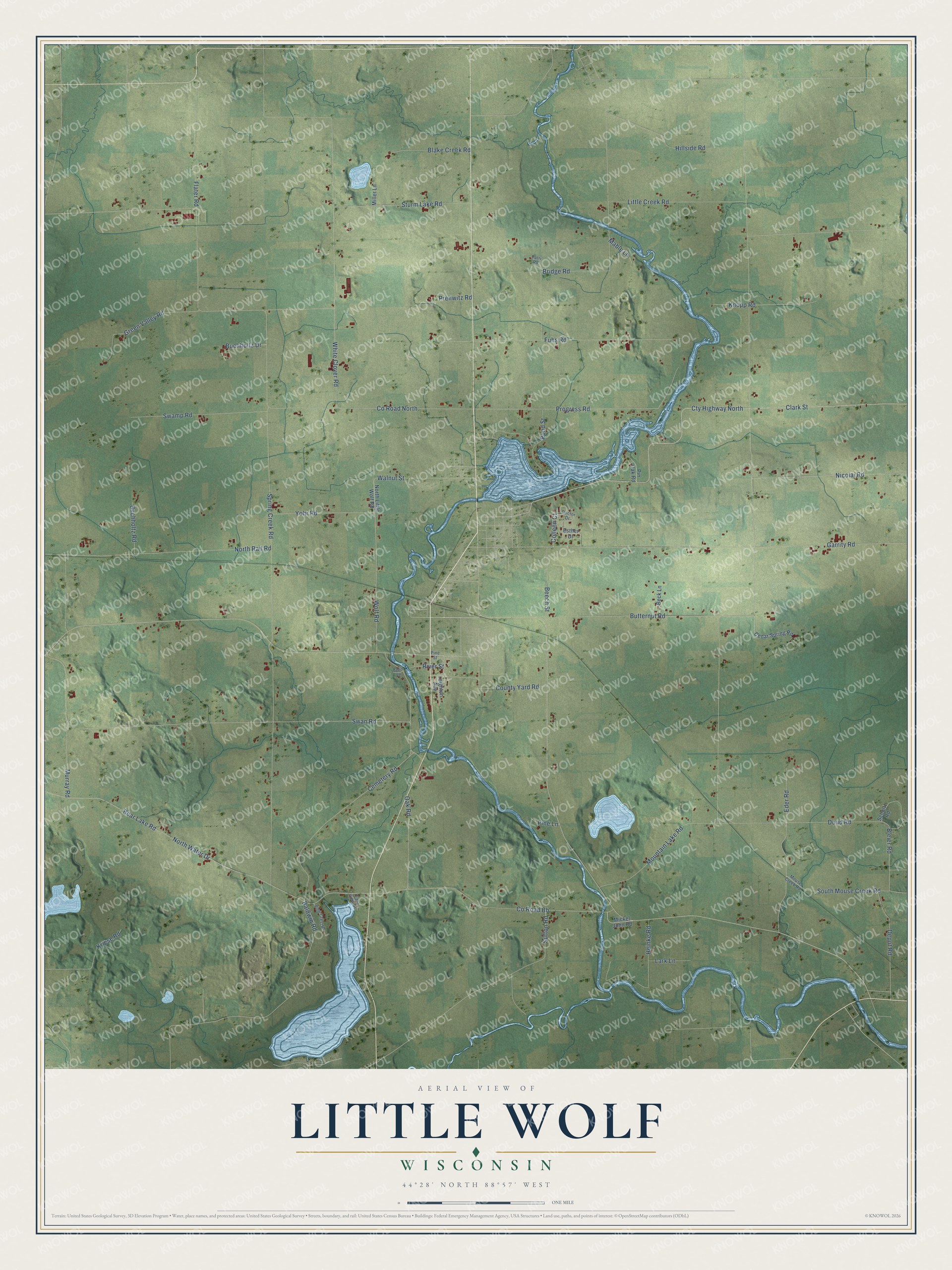
This beautifully detailed map of Little Wolf, Wisconsin was created in 2026 using aerial imagery combined with modern topographical, census, street and landmark data. It's a modern aerial view of Little Wolf in Waupaca County, Wisconsin, that combines modern data with a vintage aesthetic. The roads feature printed names, and if you look closely you can find your exact house accurately shown in its correct location.
Explore an aerial view of Little Wolf, Wisconsin
On this map you'll find Co Road North, Progress Road, Cemetery Road, South Mouse Creek Road, Spring Creek Road, Clark Street, Cty Highway North, Bear Lake Road, Swan Road, Garrity Road, North Water Drive, Little Creek Road, and more. Each red shape is a building, so zoom in on the preview and look for yours.
Here is a piece of Little Wolf history, in the words of the record. The History of Waupaca County puts it this way: "In 1887, A. W. Whitcomb built a saw mill and opened a store at Big Falls, on the Little Wolf River, in Section 26, Township 25 north."
Little Wolf is a town in Waupaca County. The Census Bureau counted 1,400 people here in 2020.
Take a closer look at the Little Wolf map
Names on this map
These names are printed on this map.
Streets and roads: County Road North, Progress Road, Cemetery Road, South Mouse Creek Road, Spring Creek Road, Clark Street, Cty Highway North, Bear Lake Road, Swan Road, Garrity Road, North Water Drive, Little Creek Road.
More street names, A to Z
Baldwin Road, Beck Lane, Beech Street, Blake Creek Road, Bleier Road, Bridge Road, Buchholtz Drive, Buchholtz Road, Butternut Road, Cedar Spring Road, Colleen Court, County Road Bb, County Yard Road, Depot Road, Doctor Drive, Doud Road, East View Drive, Eder Road, Esther Drive, Flater Road, Fuhs Road, Green Valley Road, Heinke Road, Hillside Road, Knopp Road, Kriese Road, Lark Lane, Leighton Avenue, Mable Lane, Mickel John Road, Miller Lane, Mountain Lake Road, Mouse Creek Road, Murray Road, Nicolai Road, North Little Wolf Road, North Rail Road, Oak Road, Patri Road, Pine Crest Road, Pine Lane, Pine Street, Pin Oak Road, Pond Street, Prellwitz Road, Rapid Vw, River Street, Schultz Road, Sturm Lake Road, Sutton Road, Swamp Road, Walnut Street, White Clover Road, Wolf Road, Yohr Road.
Created by KNOWOL in 2026. The buildings are small red shapes, the roads carry their printed names, and shaded relief shows the shape of the land. The title panel reads "AERIAL VIEW OF LITTLE WOLF, WISCONSIN" with 44°28' NORTH 88°57' WEST.
It suits a den, a classroom or a front hall, and it makes a gift for anyone with Little Wolf roots. Open the preview and find the block you know. See sizes and frames for the Little Wolf map.