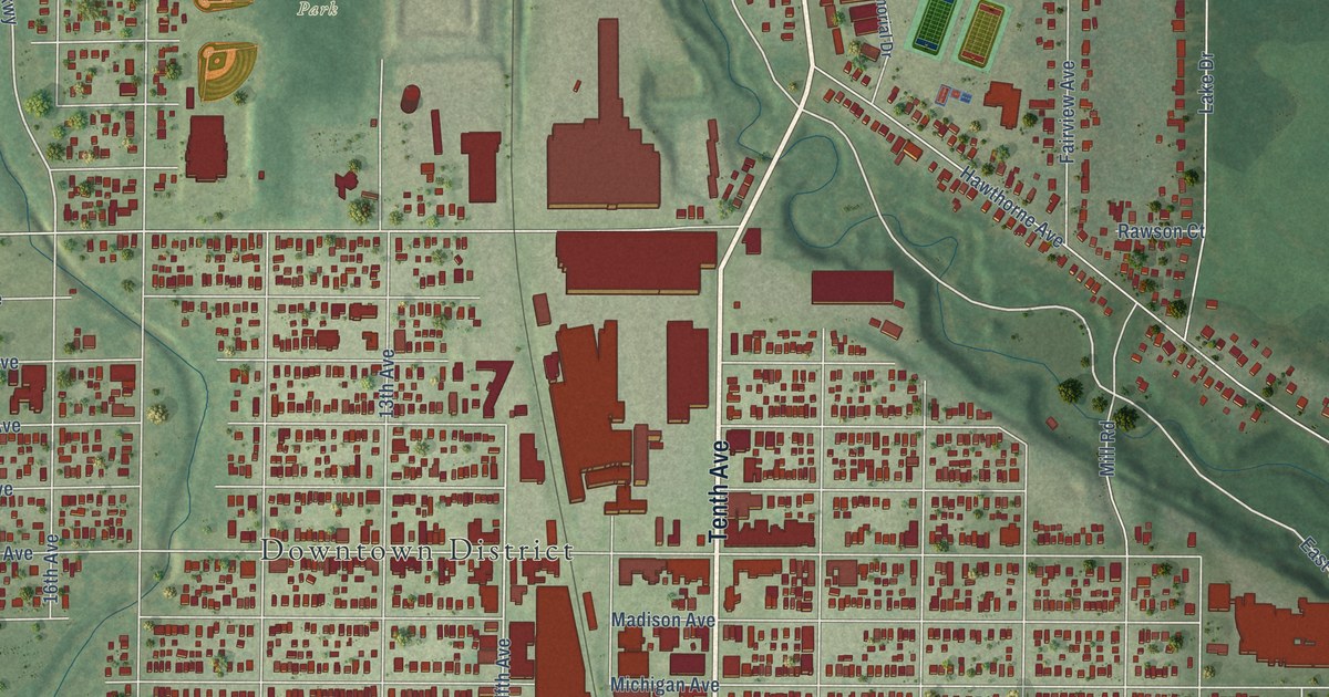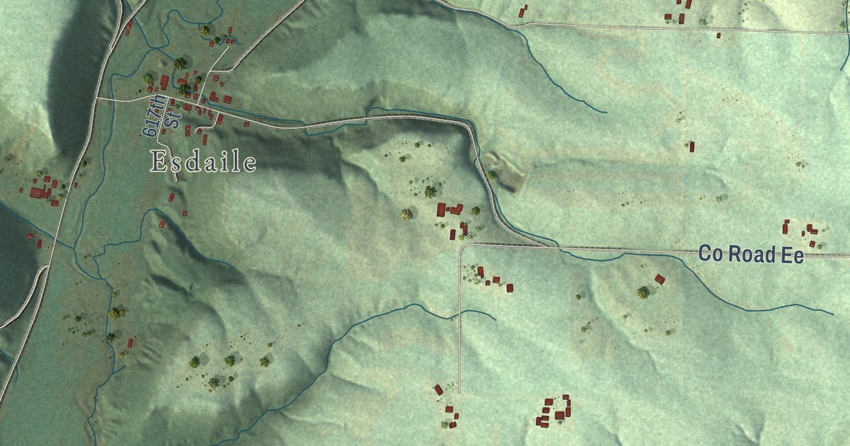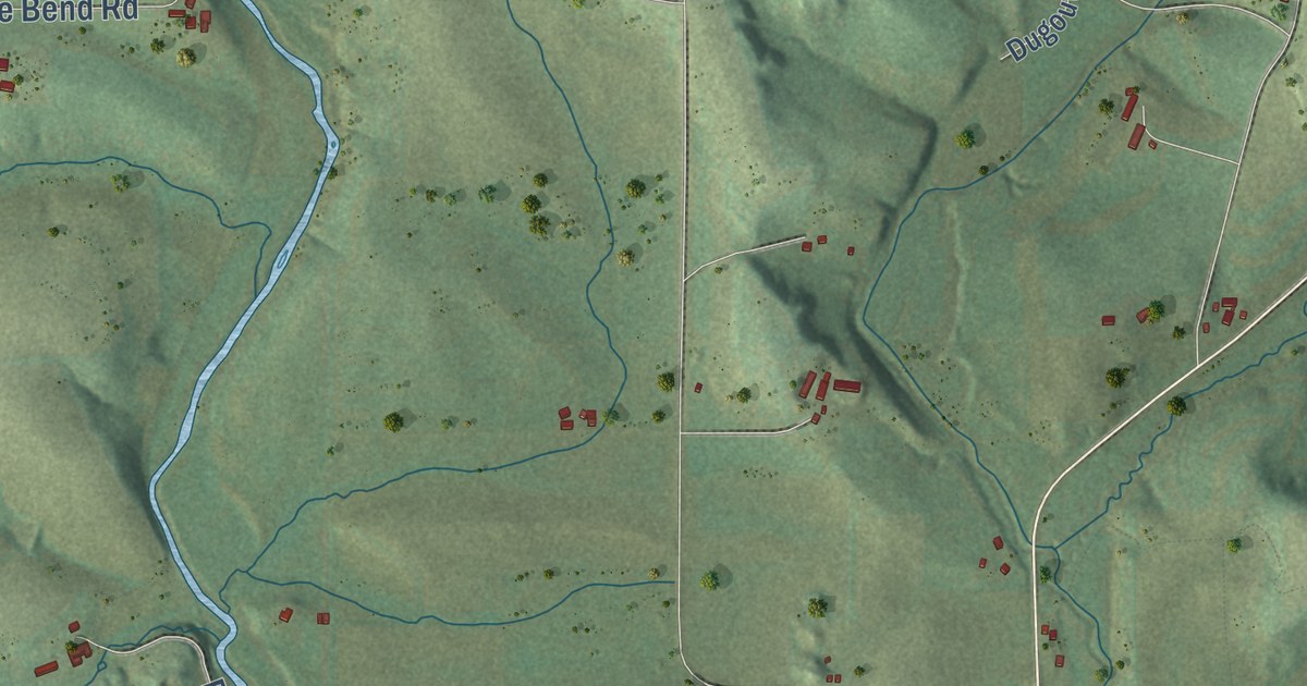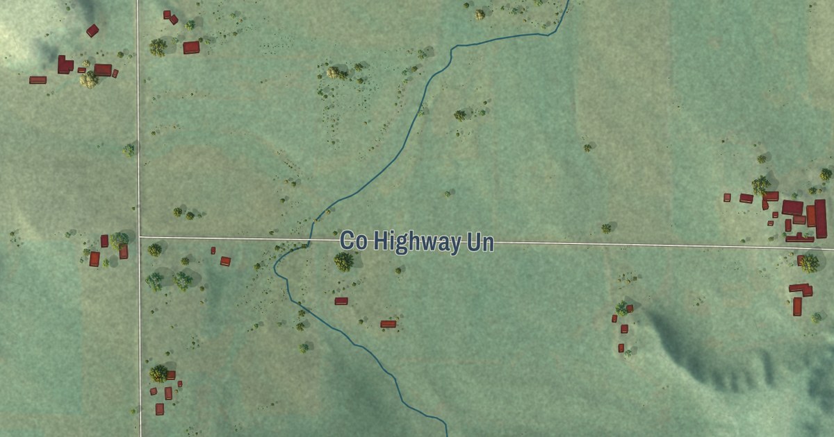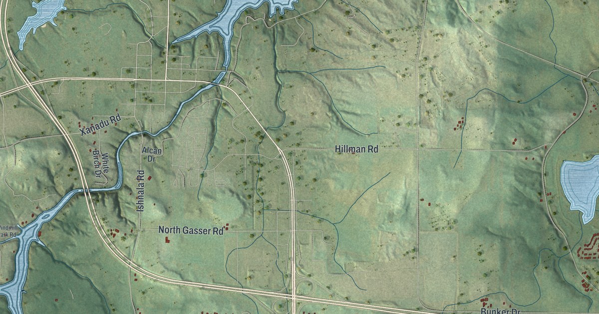
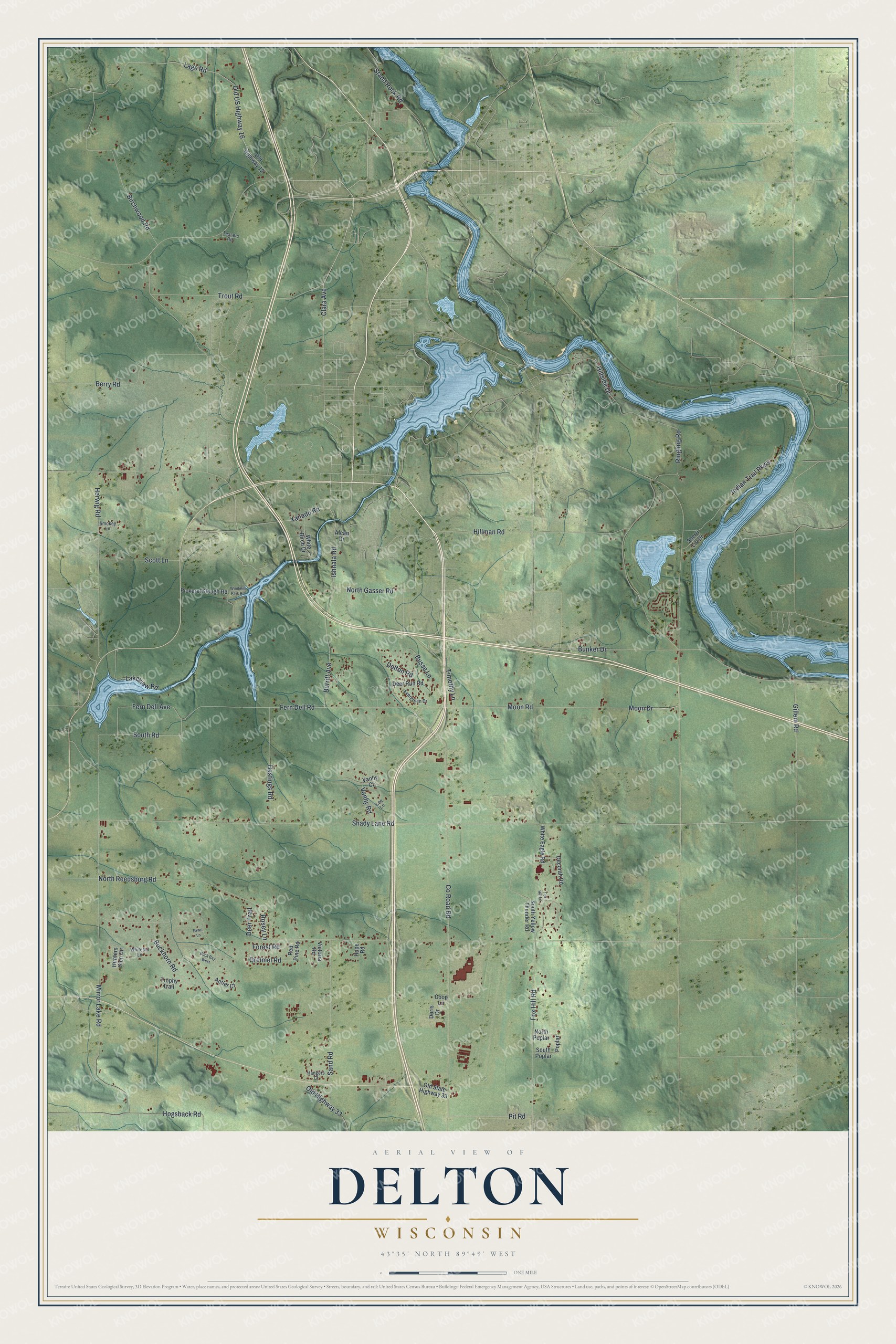
This beautifully detailed map of Delton, Wisconsin was created in 2026 using aerial imagery combined with modern topographical, census, street and landmark data. It’s a one-of-a-kind view of Delton that combines accurate data with a vintage aesthetic. The map shows every building in its true location, many of the roads carry their names, and the shaded topographic relief shows the shape of the land.
Explore an aerial view of Delton, Wisconsin
On the map you’ll find Clara Avenue, Old US Highway 16, Fern Dell Road, Moon Road, Fern Dell Avenue, South Road, County Road BD, Lage Road, North Reedsburg Road, Moon Drive, Shady Lane Road, Birchwood Road, and more. If you look closely you can even find your house accurately drawn in its correct location. Zoom in on the preview to look for yours.
Did you know this piece of Delton, Wisconsin history?
From the History of Sauk County: "A post office was established at Delton in 1850, with Jared Fox as Postmaster."
Take a closer look at the Delton map
Street names on the Delton, Wisconsin map
These names are printed on the map of Delton, Wisconsin.
Streets and roads: Clara Avenue, Old US Highway 16, Fern Dell Road, Moon Road, Fern Dell Avenue, South Road, County Road Bd, Lage Road, North Reedsburg Road, Moon Drive, Shady Lane Road, Birchwood Road.
More street names, A to Z
Alcan Drive, Antler Court, Berry Road, Buck Bay West, Buckhorn Road, Bunker Drive, Burritt Avenue, Busse Lane, Coop Lane, Decorah Road, Deer Run Road, Deer Trail, Delton Road, Doris Drive, Evergreen Drive, Fawn Lane, Forest Road, Fox Hill Lane, Fox Hill Road, Gillem Road, Greimel Road, Hangers Court, Hastings Road, Herwig Road, Hillman Road, Hillside Drive, Hogsback Road, Hope Road, Hunters Glen Circle, Indian Trail Parkway, Ishnala Road, Lakeview Road, Lee Lane, Mirror Lake Road, North Gasser Road, North Poplar, Old Highway 12, Old Highway 33, Old State Highway 33, Pickerel Slough Road, Pit Road, Poplar, Red Pine Road, Ringling Road, Rosey Lane, Sand Road, Scott Lane, Sherri Lin Drive, Smokey Lane, South Poplar, South Yellow Thunder Road, Stand Rock Road, Tessers Road, Timothy Lane, Trophy Trail, Trout Road, Vanhy Court, Vanhy Road, Victoria Road, White Birch Drive, White Eagle Road, Whitetail Lane, Windmill Park Road, Xanadu Road.
See the Delton, Wisconsin map on a wall
The Delton map as an 18 x 24 inch print in a black frame.

This beautifully detailed map of Delton makes an attractive addition to your office, library, or den, and it can even be used to teach children the geography and history of the area. It also makes a great gift for anyone who grew up in Delton or moved away. When you’re done exploring, click here to get your copy of the Delton map.