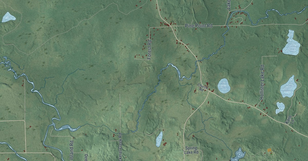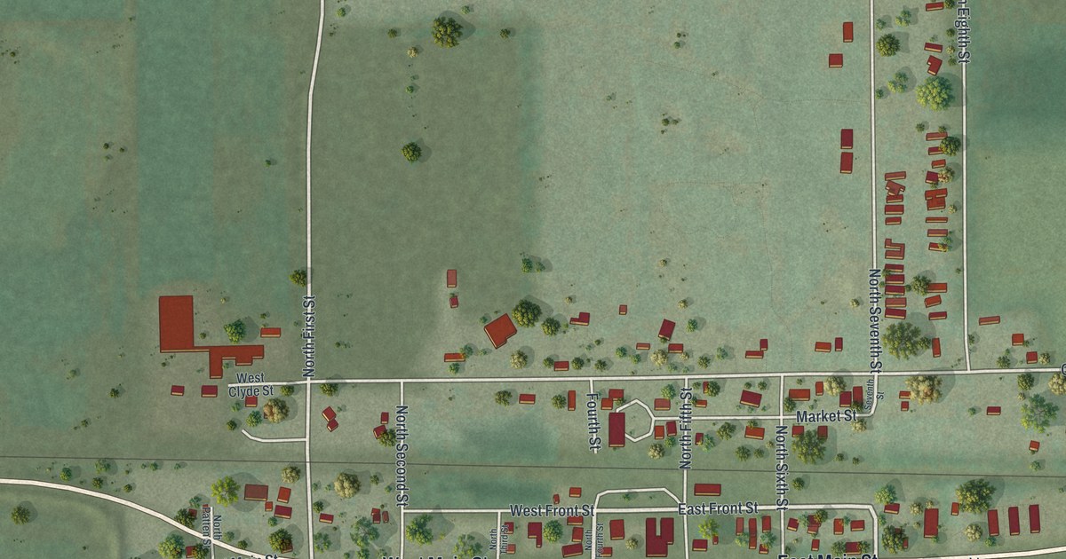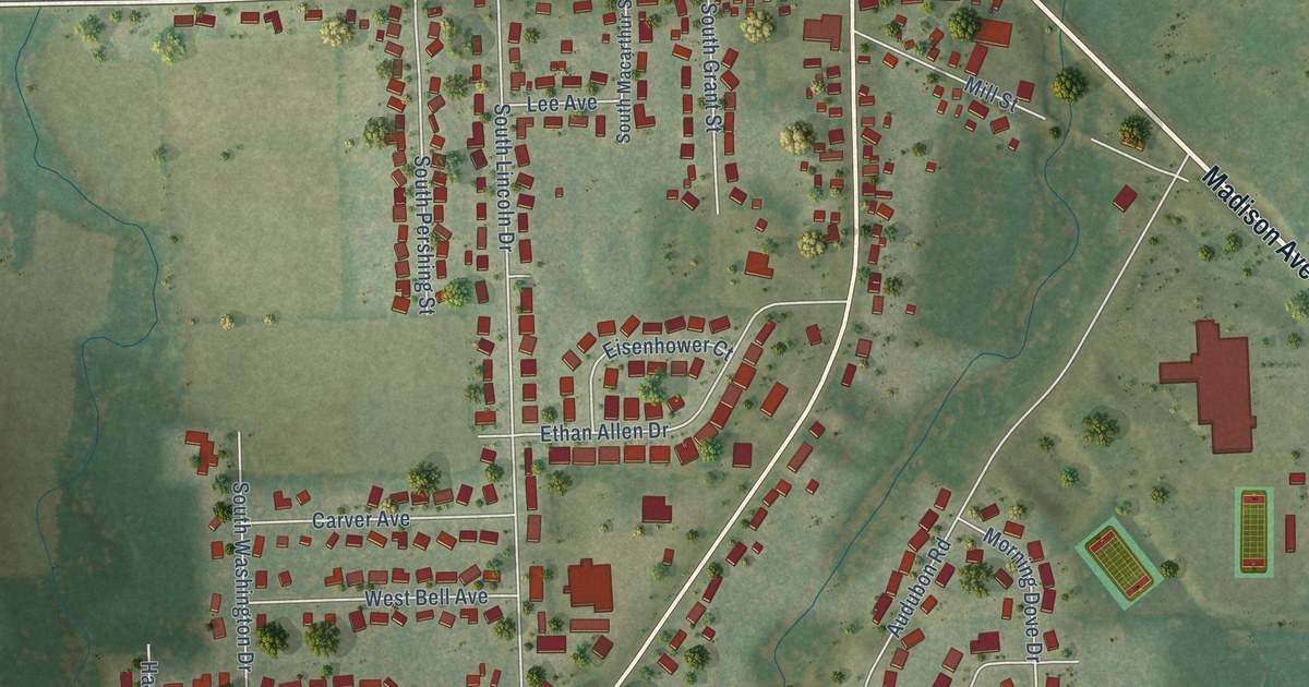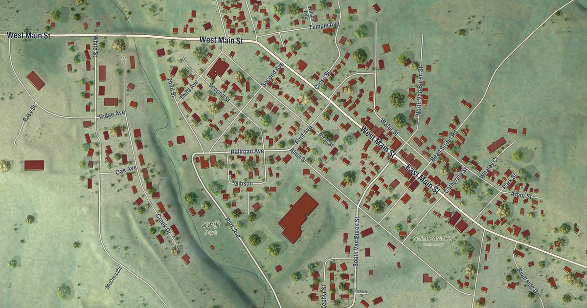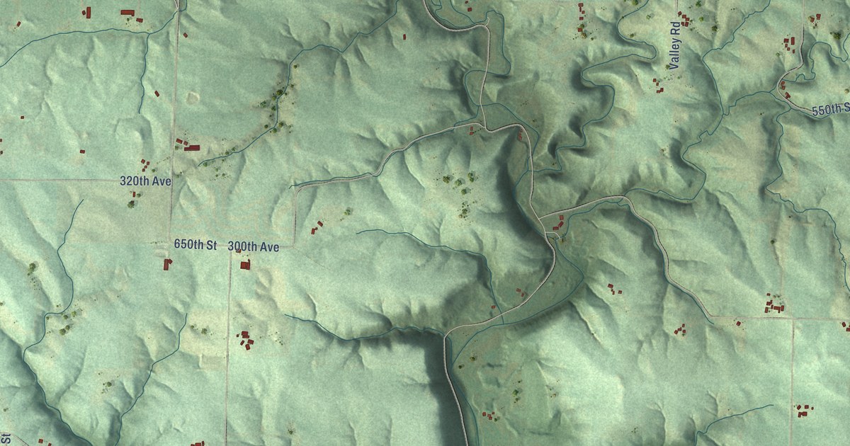
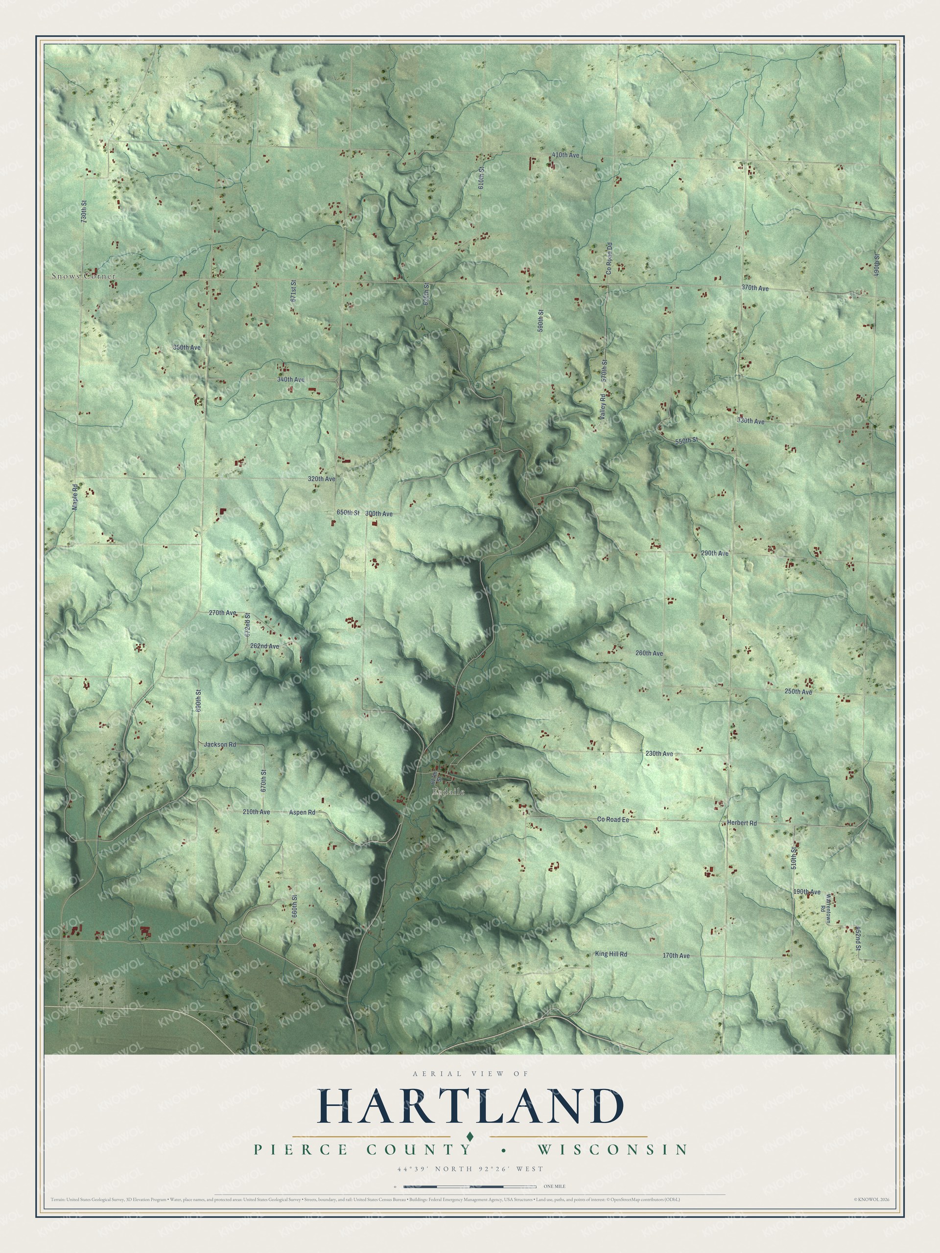
This beautifully detailed map of Hartland, Wisconsin was created in 2026 using aerial imagery combined with modern topographical, census, street and landmark data. It's a modern aerial view of Hartland in Pierce County, Wisconsin, that combines modern data with a vintage aesthetic. The roads feature printed names, and if you look closely you can find your exact house accurately shown in its correct location.
Explore an aerial view of Hartland, Wisconsin
On this map you'll find Snows Corner, Esdaile, 210th Avenue, Herbert Road, 730th Street, King Hill Road, 370th Avenue, 650th Street, 410th Avenue, 620th Street, 490th Street, Co Road Ee, and more. Each red shape is a building, so zoom in on the preview and look for yours.
Hartland has a story worth telling. The History of Pierce County puts it this way: "Among the earliest settlers of Hartland were Lewis Buckmaster (1853), James Buckingham and Augustus Hodgeman (1854). The township was organized in 1859 with A. Harris as chairman and Joseph Sleeper and R. M. Sproul supervisors."
Hartland is a town in Pierce County. The Census Bureau counted 830 people here in 2020.
Take a closer look at the Hartland map
Names on this map
These names are printed on this map.
Places: Snows Corner and Esdaile.
Streets and roads: 210th Avenue, Herbert Road, 730th Street, King Hill Road, 370th Avenue, 650th Street, 410th Avenue, 620th Street, 490th Street, County Road Ee, 290th Avenue, 690th Street.
More street names, A to Z
170th Avenue, 190th Avenue, 230th Avenue, 250th Avenue, 260th Avenue, 262nd Avenue, 270th Avenue, 300th Avenue, 320th Avenue, 330th Avenue, 340th Avenue, 350th Avenue, 452nd Street, 510th Street, 550th Street, 570th Street, 590th Street, 610th Street, 617th Street, 660th Street, 670th Street, 671st Street, 672nd Street, Aspen Road, County Road Dd, Jackson Road, Maple Road, Valley Road, Warrentown Road.
Created by KNOWOL in 2026. The buildings are small red shapes, the roads carry their printed names, and shaded relief shows the shape of the land. The title panel reads "AERIAL VIEW OF HARTLAND, PIERCE COUNTY • WISCONSIN" with 44°39' NORTH 92°26' WEST.
It looks right in a kitchen, an office or a den, and it's a gift for anyone who grew up in Hartland or moved away. Open the preview and find your street. See sizes and frames for the Hartland, Pierce County map.