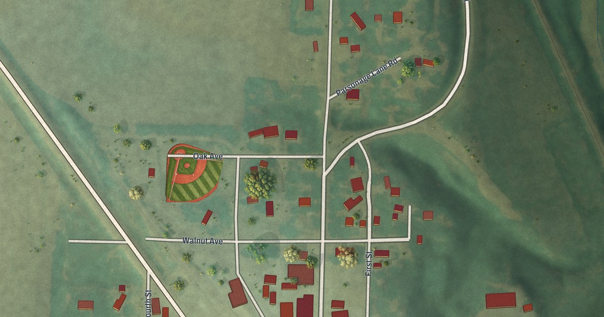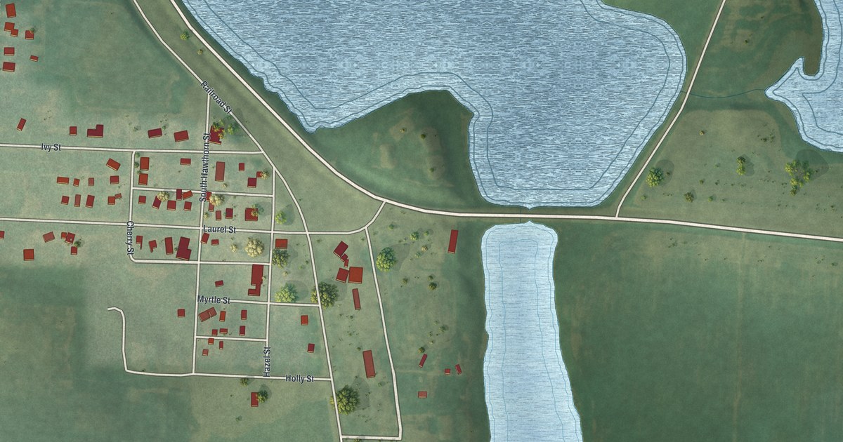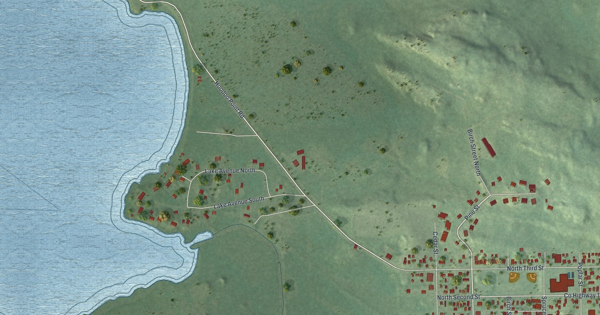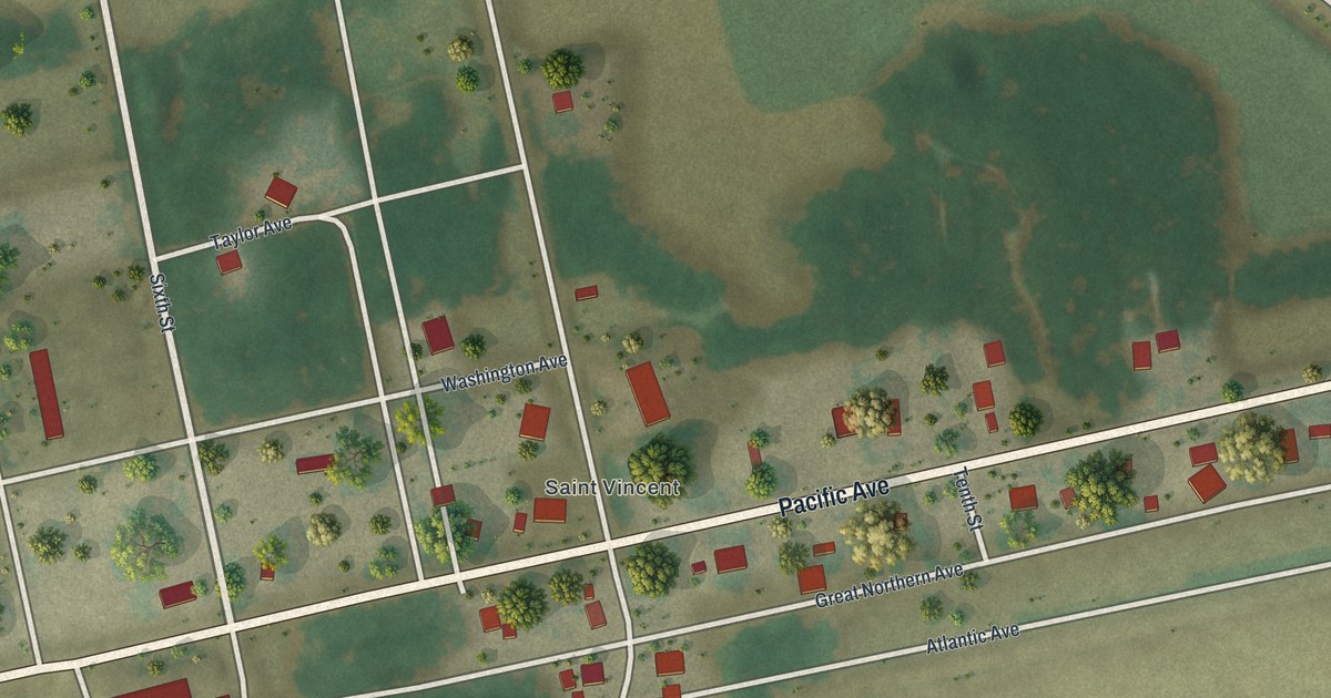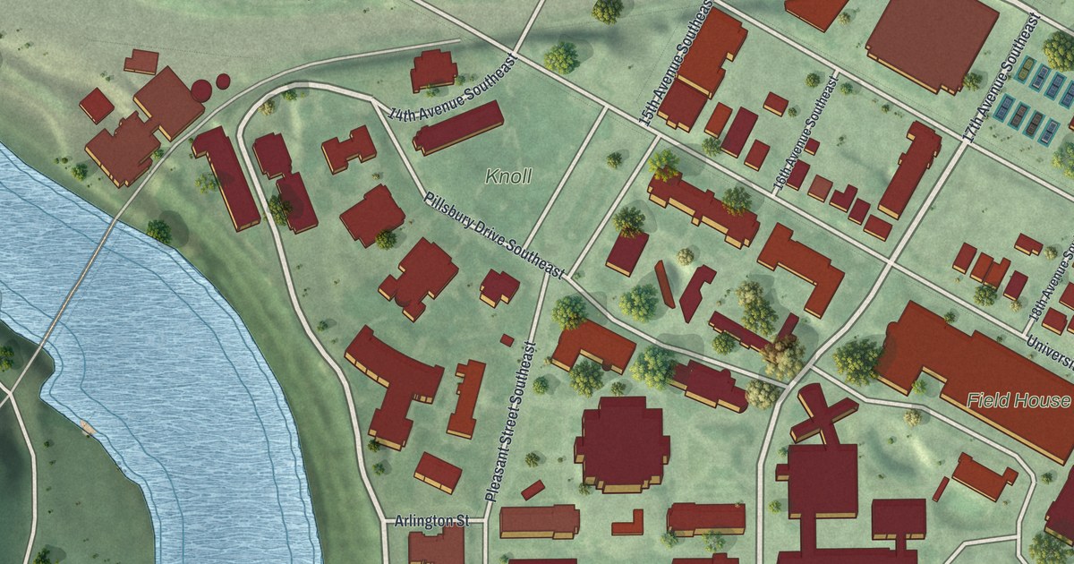
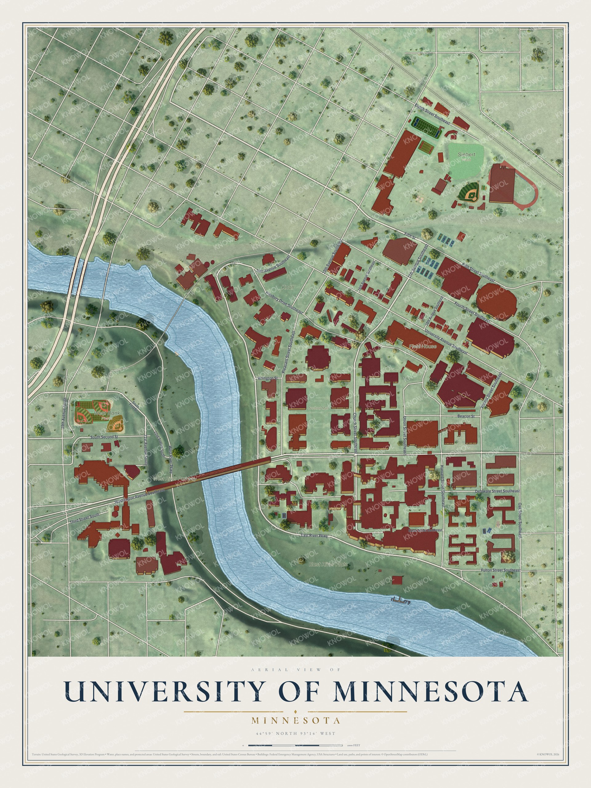
This beautifully detailed map of University of Minnesota, Minnesota was created in 2026 using aerial imagery combined with modern topographical, census, street and landmark data. It's a modern aerial view of University of Minnesota in Hennepin County, Minnesota, that combines modern data with a vintage aesthetic. The roads feature printed names, and if you look closely you can find your exact house accurately shown in its correct location.
Explore an aerial view of University of Minnesota, Minnesota
On this map you'll find East River Flats, West River Parkway, West Bank Fields, Northrop Mall, Siebert Field, Knoll, Field House, Fifth Street, 17th Avenue Southeast, East River Parkway, Church Street Southeast, Washington Avenue Southeast, and more. Each red shape is a building, so zoom in on the preview and look for yours.
Every town has a first chapter, and University of Minnesota is no exception. The Minneapolis Park and Recreation Board puts it this way: "The East River Flats were leased to the University of Minnesota for a parking lot in 1949 and the original ten-year lease was renewed until 1976. The flats were used as a concert venue in the late 1970s and permission was also granted to the university to use park land to access its Showboat."
University of Minnesota is a neighborhood in Hennepin County.
Take a closer look at the University of Minnesota map
Names on this map
These names are printed on this map.
Places: East River Flats, West River Parkway, West Bank Fields, Northrop Mall, Siebert Field, Knoll and Field House.
Streets and roads: Fifth Street, 17th Avenue Southeast, East River Parkway, Church Street Southeast, Washington Avenue Southeast, 21st Avenue South, University Avenue Southeast, Delaware Street Southeast, Pleasant Street Southeast, Pillsbury Drive Southeast, Fourth Street Southeast, Oak Street Southeast.
More street names, A to Z
14th Avenue Southeast, 15th Avenue Southeast, 16th Avenue Southeast, 18th Avenue Southeast, 19th Avenue South, 22nd Avenue South, Arlington Street, Beacon Street, Eighth Street Southeast, Essex Street Southeast, Fifth Street Southeast, Fulton Street Southeast, Harvard Street Southeast, South First Street, South Second Street, Third Street South, Union Street Southeast, Walnut Street Southeast.
See it on a wall
The University of Minnesota map as a framed print. Swipe for more.


Created by KNOWOL in 2026. The buildings are small red shapes, the roads carry their printed names, and shaded relief shows the shape of the land. The title panel reads "AERIAL VIEW OF UNIVERSITY OF MINNESOTA, MINNESOTA" with 44°59' NORTH 93°14' WEST.
Hang it in the hallway, the office or the cabin, or give it to someone who left University of Minnesota and still calls it home. Open the preview and look for a street you know. See sizes and frames for the University of Minnesota map.