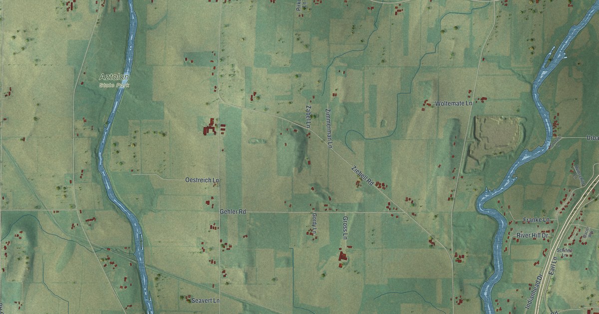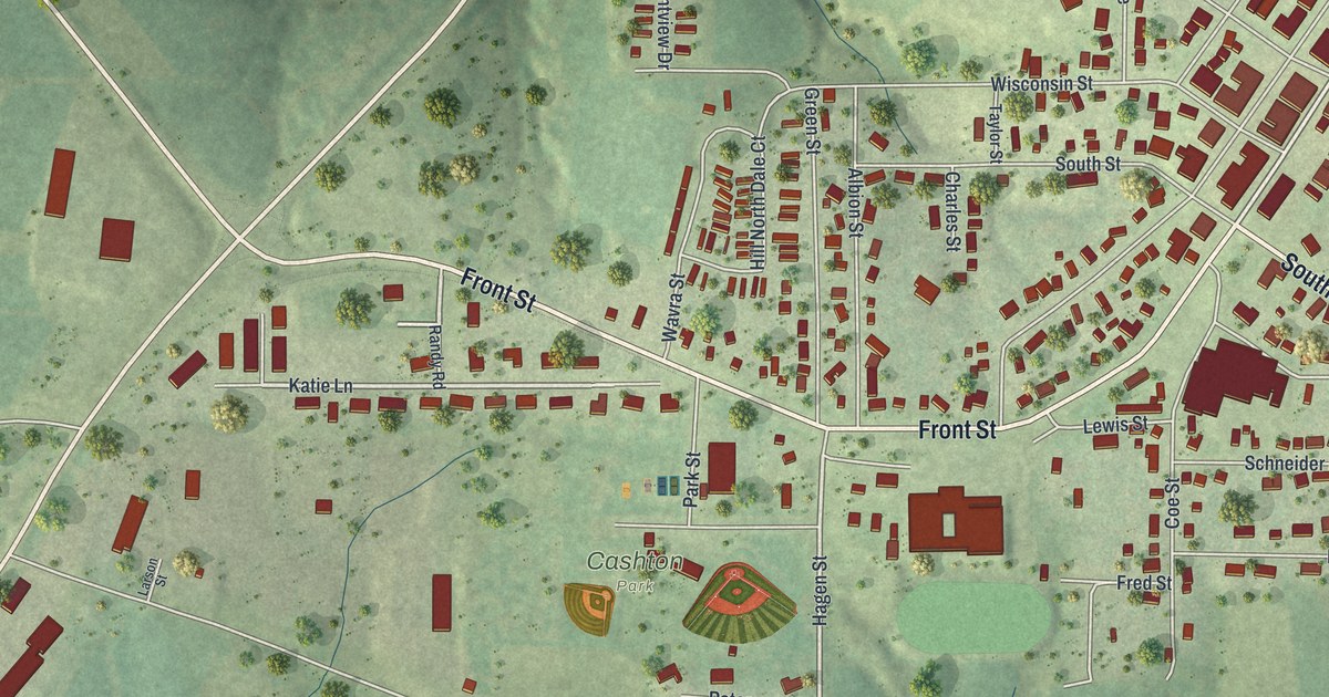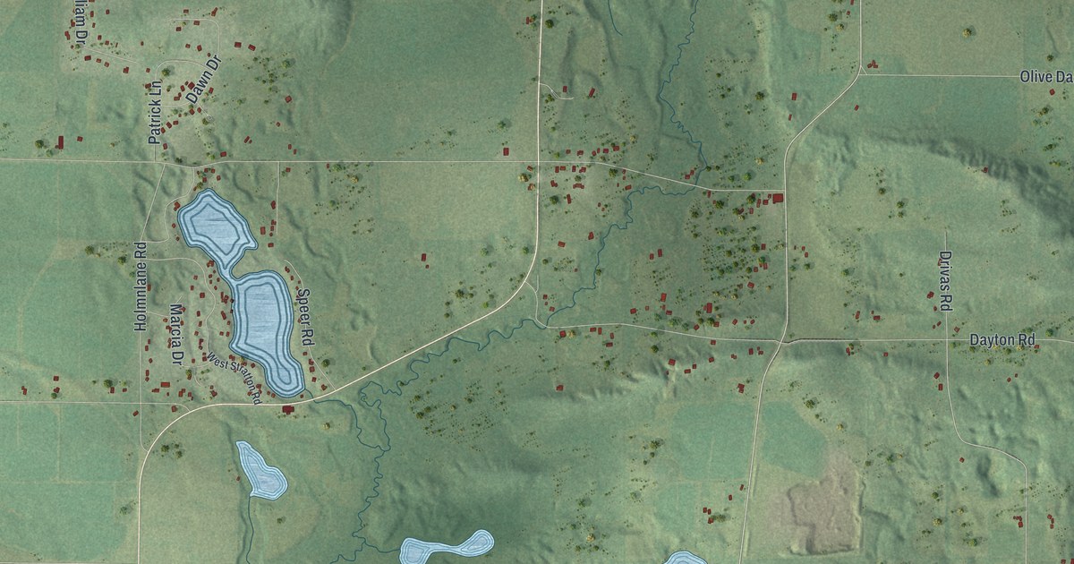
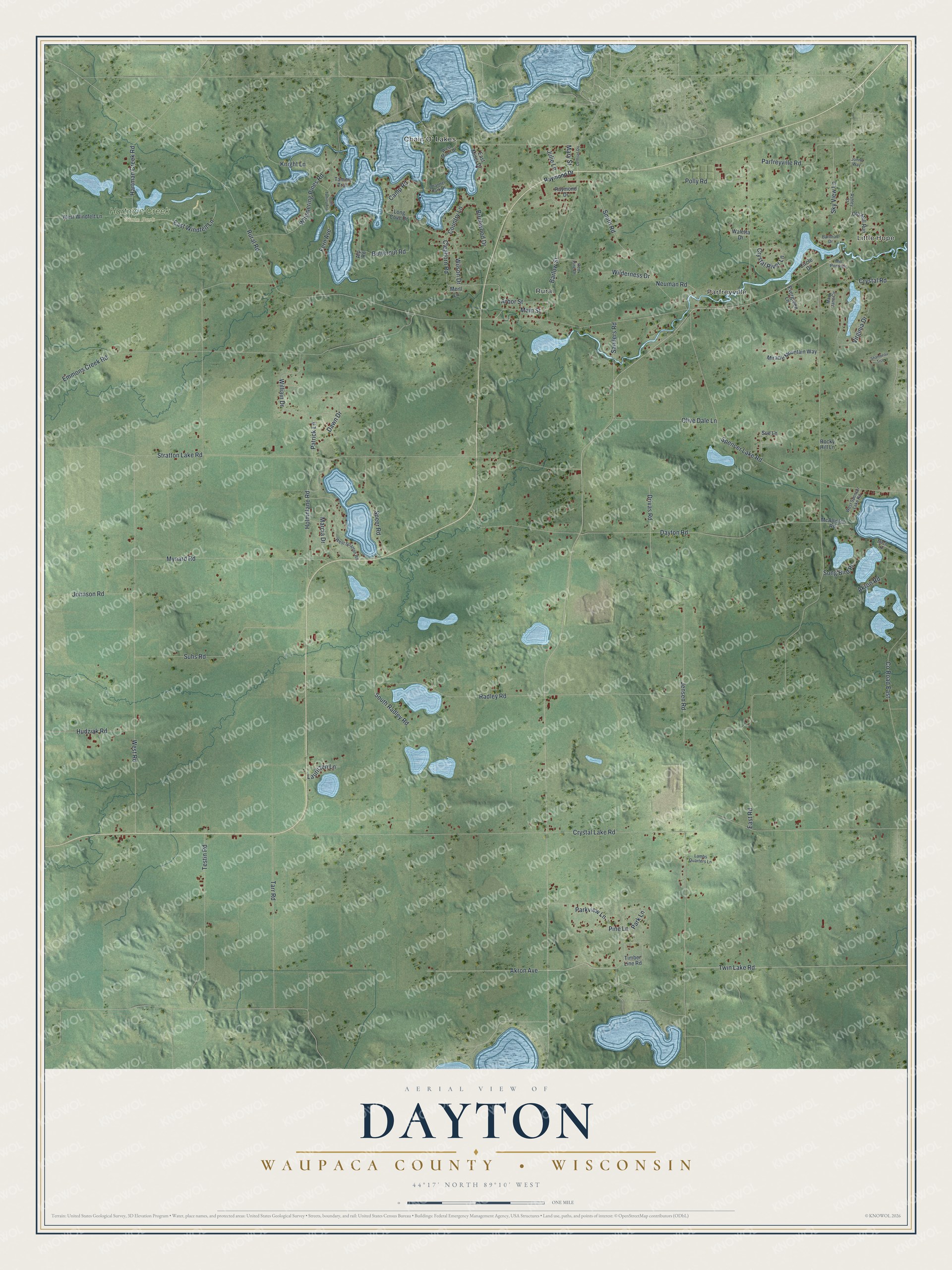
This beautifully detailed map of Dayton, Wisconsin was created in 2026 using aerial imagery combined with modern topographical, census, street and landmark data. It's a modern aerial view of Dayton in Waupaca County, Wisconsin, that combines modern data with a vintage aesthetic. The roads feature printed names, and if you look closely you can find your exact house accurately shown in its correct location.
Explore an aerial view of Dayton, Wisconsin
On this map you'll find Little Hope, Chain O' Lakes, Parfreyville, Rural, Hartman Creek State Park, Pine Lane, Akron Avenue, Jensen Road, Main Street, Cleghorn Road, Birchwood Drive, East Road, and more. Each red shape is a building, so zoom in on the preview and look for yours.
Dayton is a town in Waupaca County. The Census Bureau counted 2,644 people here in 2020. The map prints the town name in its title panel, with the coordinates below it.
Take a closer look at the Dayton map
Names on this map
These names are printed on this map.
Places: Little Hope, Chain O' Lakes, Parfreyville, Rural and Hartman Creek State Park.
Streets and roads: Pine Lane, Akron Avenue, Jensen Road, Main Street, Cleghorn Road, Birchwood Drive, East Road, West Road, Crystal Lake Road, Rural Road, Stratton Lake Road, Radley Road.
More street names, A to Z
Akron Road, Alp Road, Arbor Street, Ashley Court, Barlow Street, Barnhart Drive, Birch Lane, Butternut Road, Camp Road, Channel Park Drive, Circle Drive, Country Lane, County Road East, County Road Qq, Crystal River Lane, Crystal Road, Dawn Drive, Dayton Road, Drivas Road, East Miner Drive, East Windfelt Lane, Emmons Creek Road, Evergreen Lane, Fern Avenue, Hartman Creek Road, Holmnlane Road, Hudziak Road, Johnson Road, Johns Way, Julie Lane, Knight Lane, Lambs Quarters Lane, Lauritzen Lane, Long Cove Drive, Marcia Drive, Mary Jane Circle, Mary Street, McAllister Road, Mertl Lane, Mill Pond Circle, Miracle Mountain Way, Mynard Road, Neuman Road, Old Mill Run, Olive Dale Lane, Parfreyville Road, Park Lane, Parkview Lane, Patrick Lane, Polly Road, Raymond Drive, Red Pine Drive, Rocky Hill Lane, Sanders Road, Shambeau Trce, Sky View Lane, Smith Road, Song Bird Place, South Radley Road, South Tammy Trail, Speer Road, Spencer Lake Road, Sue Lane, Suhs Road, Tammy Trail, Tarr Road, Testin Road, Timber Line Road, Twin Lake Road, Virginia Drive, Waletta Drive, West Miner Drive, West Spencer Lake Road, West Stratton Road, West Windfelt Lane, Whispering Pines Road, Wilderness Drive, William Drive, Wilson Drive.
Created by KNOWOL in 2026. The buildings are small red shapes, the roads carry their printed names, and shaded relief shows the shape of the land. The title panel reads "AERIAL VIEW OF DAYTON, WAUPACA COUNTY • WISCONSIN" with 44°17' NORTH 89°10' WEST.
It suits a den, a classroom or a front hall, and it makes a gift for anyone with Dayton roots. Open the preview and find the block you know. See sizes and frames for the Dayton, Waupaca County map.