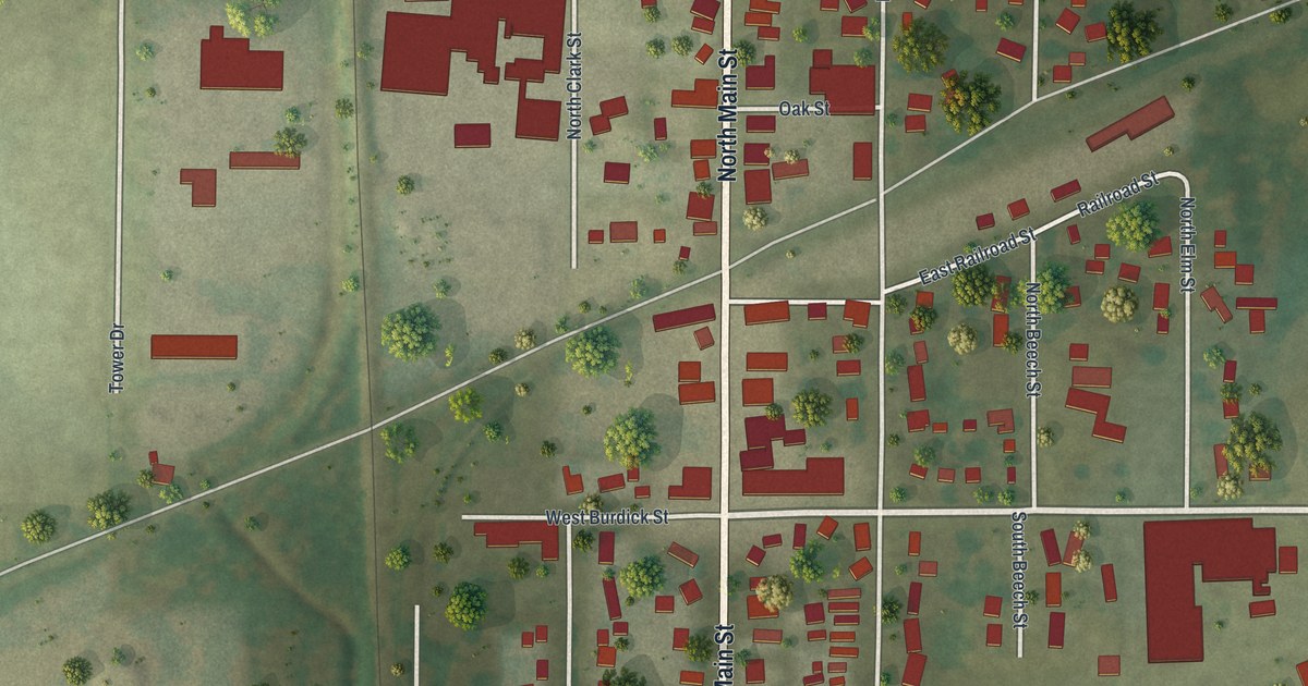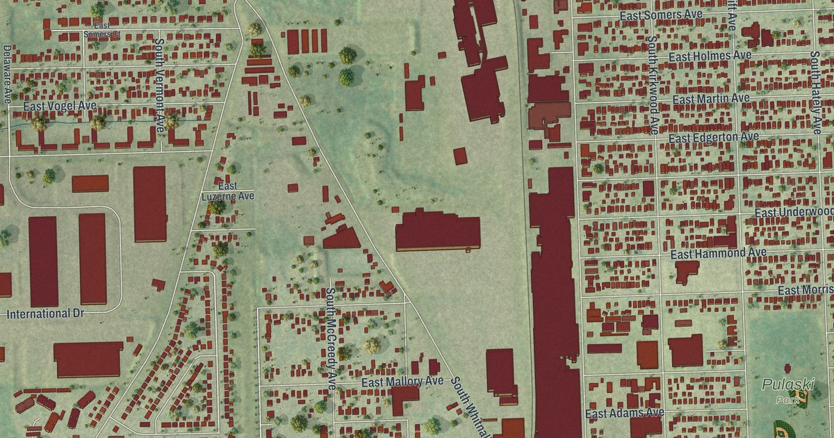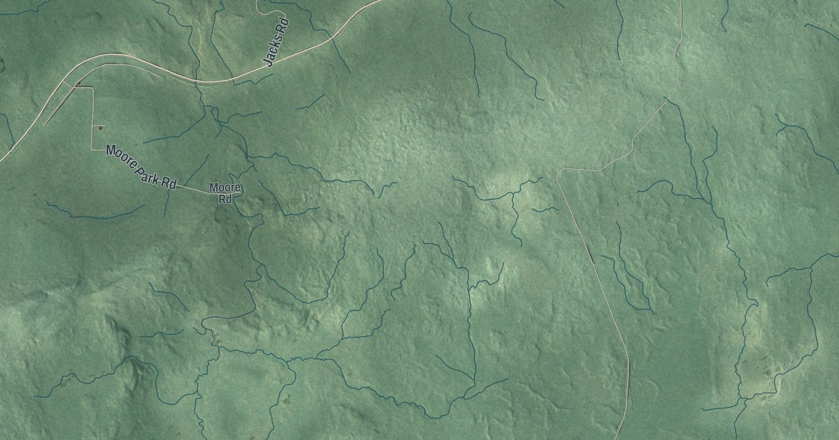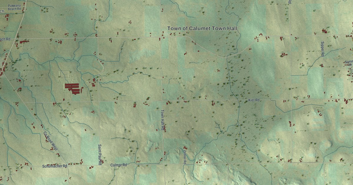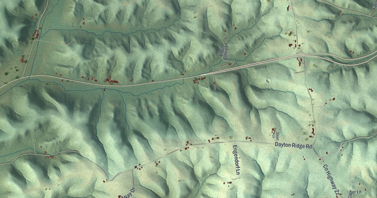
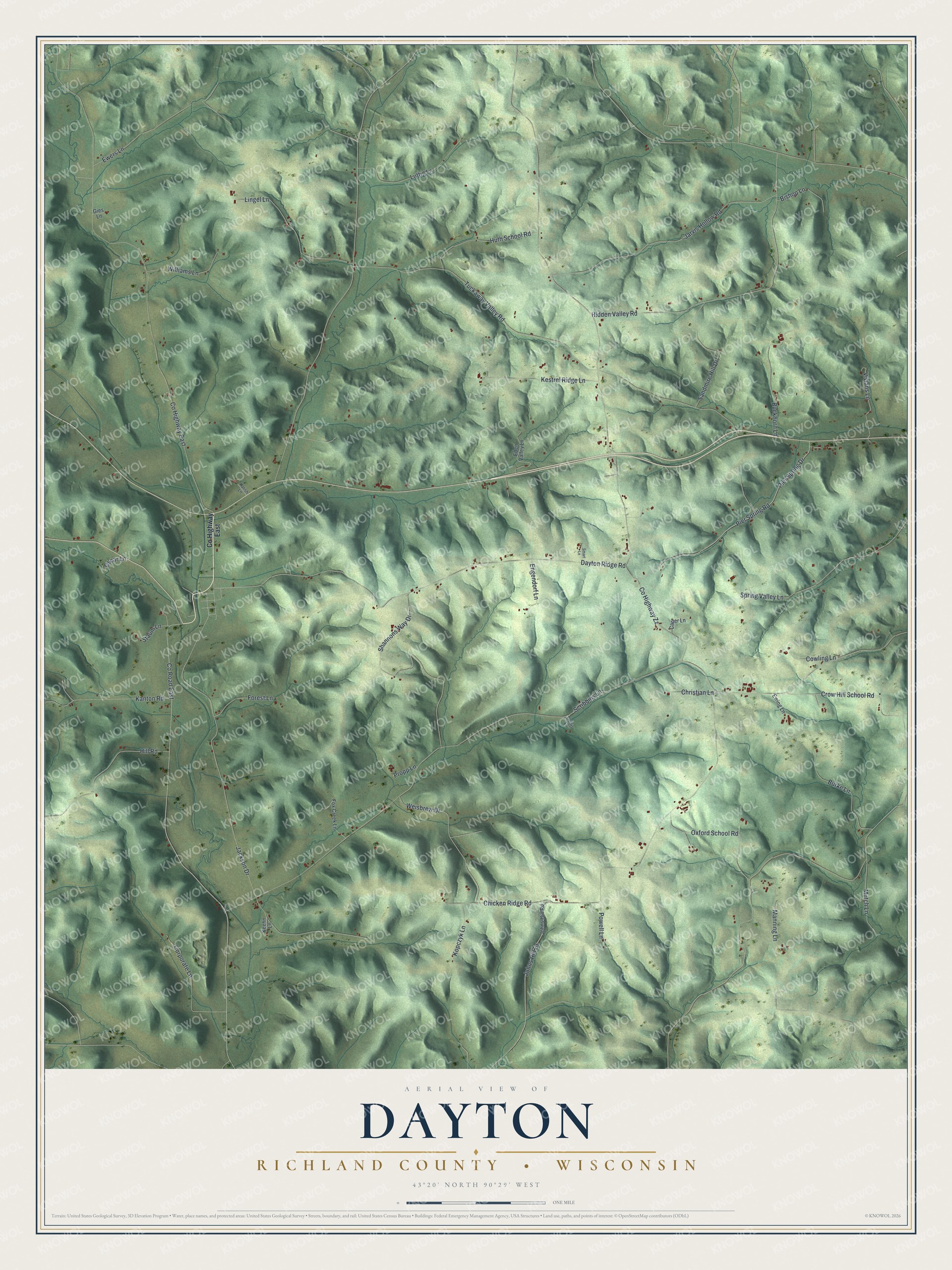
This beautifully detailed map of Dayton, Wisconsin was created in 2026 using aerial imagery combined with modern topographical, census, street and landmark data. It's a modern aerial view of Dayton in Richland County, Wisconsin, that combines modern data with a vintage aesthetic. The roads feature printed names, and if you look closely you can find your exact house accurately shown in its correct location.
Explore an aerial view of Dayton, Wisconsin
On this map you'll find Co Highway East, Co Highway Zz, Tuckaway Valley Road, Chicken Ridge Road, Dayton Ridge Road, Co Road East, Jackson Drive, Hidden Valley Road, Shannons Way Drive, Jarvis Hollow Road, Pier Spring Drive, Pier Spring Road, and more. Each red shape is a building, so zoom in on the preview and look for yours.
Dayton is a town in Richland County. The Census Bureau counted 763 people here in 2020. The map prints the town name in its title panel, with the coordinates below it.
Take a closer look at the Dayton map
Names on this map
These names are printed on this map.
Streets and roads: County Highway East, County Highway Zz, Tuckaway Valley Road, Chicken Ridge Road, Dayton Ridge Road, County Road East, Jackson Drive, Hidden Valley Road, Shannons Way Drive, Jarvis Hollow Road, Pier Spring Drive, Pier Spring Road.
More street names, A to Z
Bishop Lane, Buckhorn Lane, Burke Lane, Carter Lane, Christian Lane, Corporate Lane, Cowling Lane, Crow Hill School Road, Eden Valley Lane, Engendorf Lane, Ewers Lane, Ewing Lane, Forest Lane, Fox Creek Lane, Gies Lane, Hill Road, Huth School Road, Johns Hill Drive, Johns Hill Road, Kalish Lane, Kanton Road, Keehn Lane, Kestrel Ridge Lane, Kopczyk Lane, Lingel Lane, Luttig Lane, Manning Lane, Mutch Lane, Oscar Lane, Oxford School Road, Powell Lane, Propp Lane, Sandmire Hill Drive, Scribbins Lane, Smart Lane, Soltis Lane, Spring Valley Lane, Staum Lane, Vivians Lane, Weisbrew Drive, Williams Lane.
Created by KNOWOL in 2026. The buildings are small red shapes, the roads carry their printed names, and shaded relief shows the shape of the land. The title panel reads "AERIAL VIEW OF DAYTON, RICHLAND COUNTY • WISCONSIN" with 43°20' NORTH 90°29' WEST.
It looks right in a kitchen, an office or a den, and it's a gift for anyone who grew up in Dayton or moved away. Open the preview and find your street. See sizes and frames for the Dayton, Richland County map.