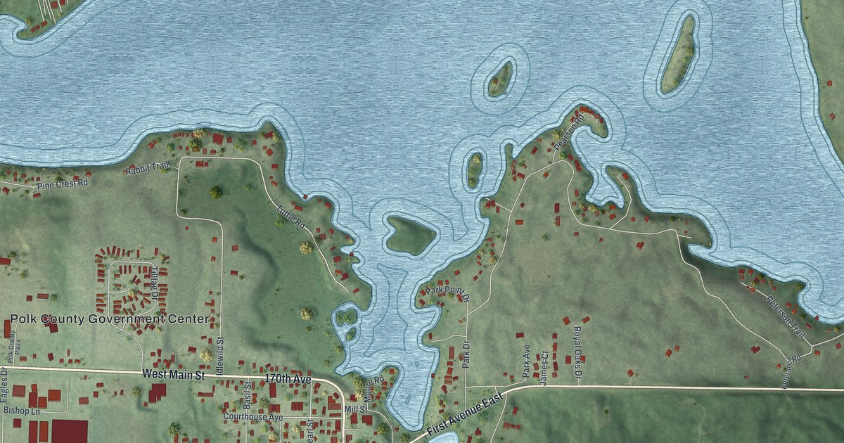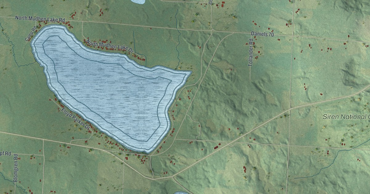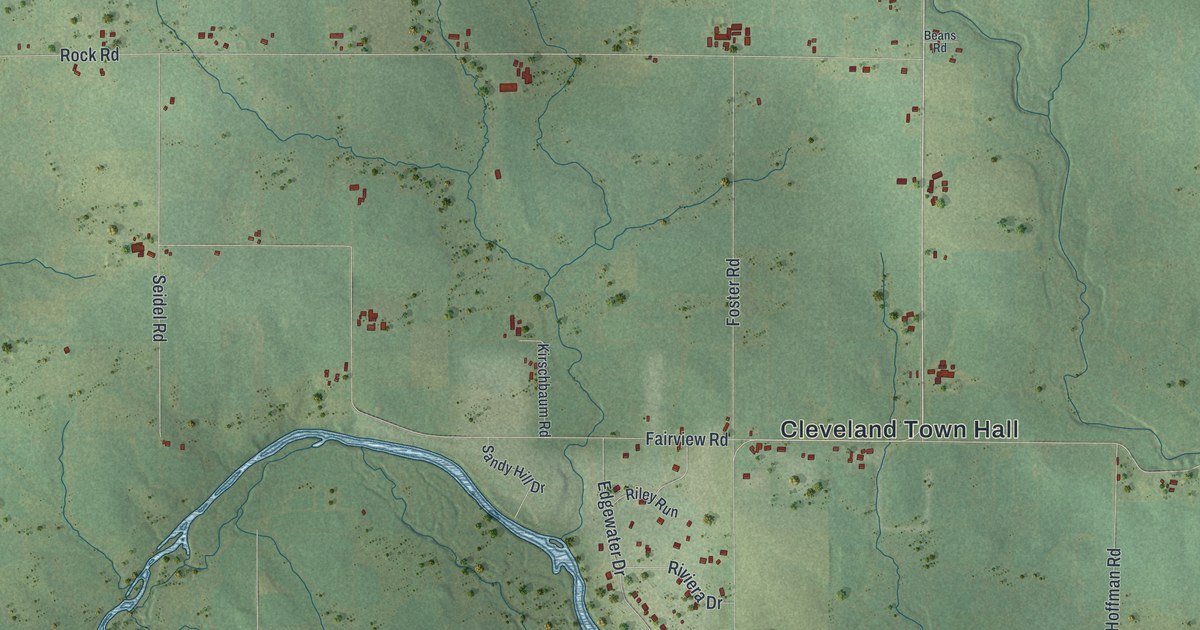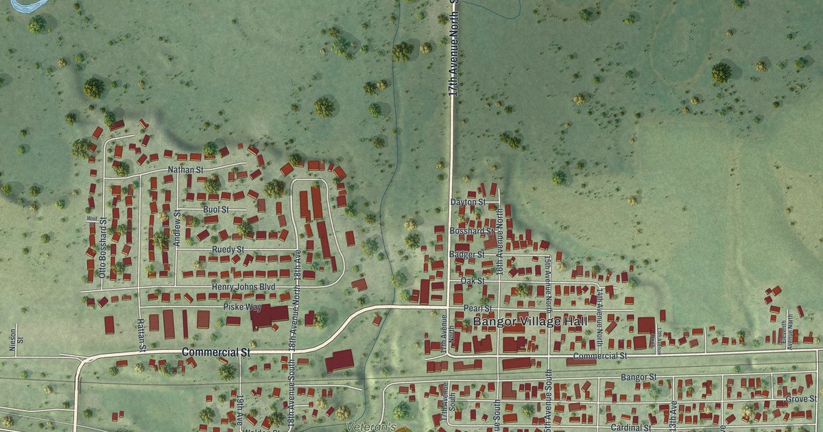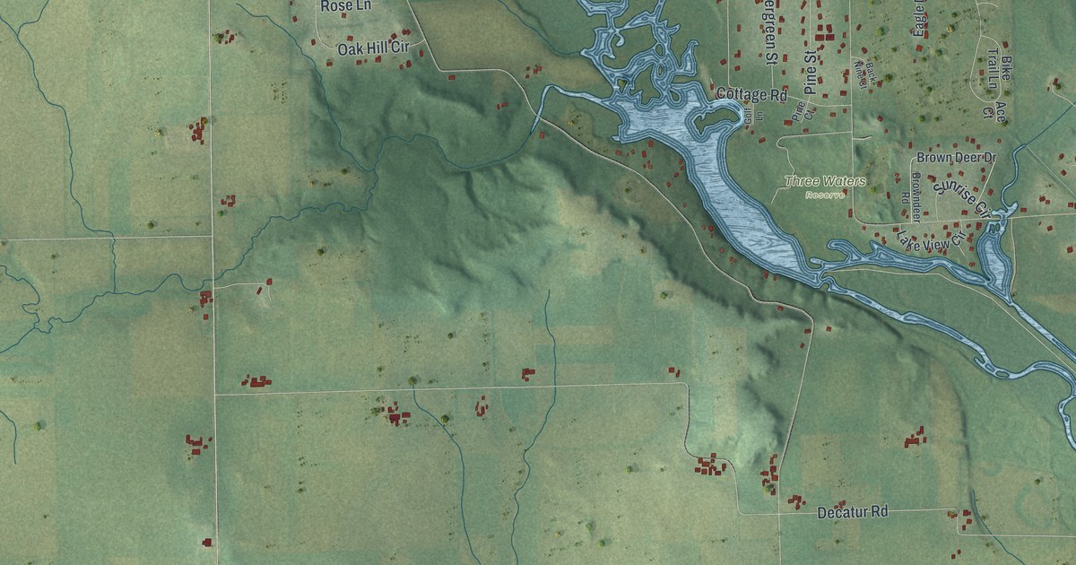
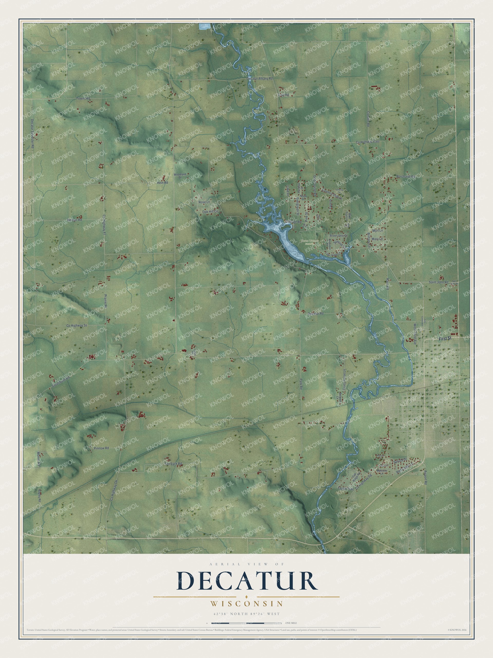
This beautifully detailed map of Decatur, Wisconsin was created in 2026 using aerial imagery combined with modern topographical, census, street and landmark data. It's a modern aerial view of Decatur in Green County, Wisconsin, that combines modern data with a vintage aesthetic. The roads feature printed names, and if you look closely you can find your exact house accurately shown in its correct location.
Explore an aerial view of Decatur, Wisconsin
On this map you'll find Three Waters Reserve, First Street, Saint John Road, Ten Eyck Road, Crazy Horse Lane, Airport Road, West Third Avenue, Pine Street, Co Highway East, Park Road, Decatur Road, Co Highway Ff, and more. Each red shape is a building, so zoom in on the preview and look for yours.
Decatur has a story worth telling. The Internet Archive puts it this way: "The remains of an Indian council house
and blacksmith shop could be seen here until 1847, when
they were destroyed by a prairie fire."
Decatur is a town in Green County. The Census Bureau counted 1,685 people here in 2020.
Take a closer look at the Decatur map
Names on this map
These names are printed on this map.
Places: Three Waters Reserve.
Streets and roads: First Street, Saint John Road, Ten Eyck Road, Crazy Horse Lane, Airport Road, West Third Avenue, Pine Street, County Highway East, Park Road, Decatur Road, County Highway Ff, Decatur Sylvester Road.
More street names, A to Z
Ace Court, Back Nine Court, Bagley Road, Belgium Lane, Bike Trail Lane, Borchardt Road, Brittany Lane, Brown Deer Drive, Browndeer Road, Condon Road, Cottage Road, Country Club Drive, County Highway Gg, County Highway Ok, County Highway Ss, Cozee Lane, Culles Road, Decatur Albany Road, Eagle Drive, Evergreen Street, First Center Avenue, Golf Course Road, Golf Lane, Greenbush Road, Hein Road, Lake Drive, Lake View Circle, Malcook Lane, Malcove Lane, Mary Lane, Mohns Road, Myrt Lane, North Drive, Oak Hill Circle, Oak Ridge Road, Pandow Drive, Pine Court, Pinnow Road, Prairie Road, Race Road, Red Cedar Lane, Reimer Road, Rose Lane, Saint Johns Road, Sandtrap Terrace, Spruce Drive, Sunrise Circle, Taylor Trail, Towns Road, Trail Road, Woodland Drive.
Created by KNOWOL in 2026. The buildings are small red shapes, the roads carry their printed names, and shaded relief shows the shape of the land. The title panel reads "AERIAL VIEW OF DECATUR, WISCONSIN" with 42°38' NORTH 89°26' WEST.
It looks right in a kitchen, an office or a den, and it's a gift for anyone who grew up in Decatur or moved away. Open the preview and find your street. See sizes and frames for the Decatur map.