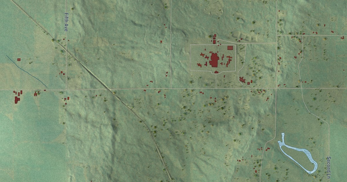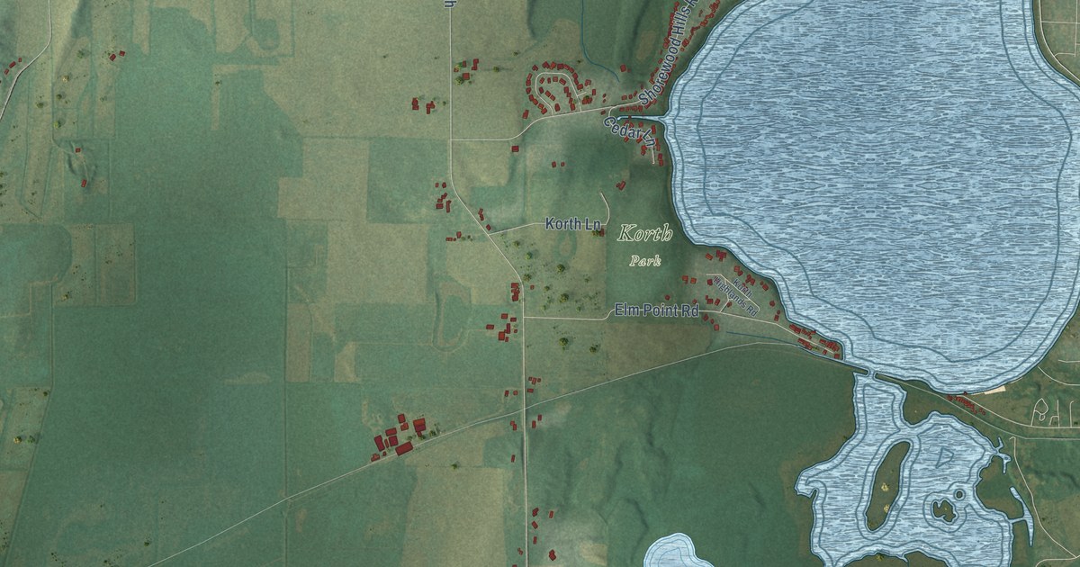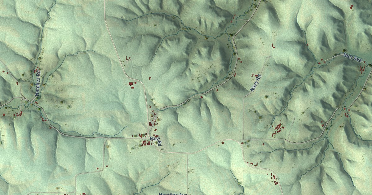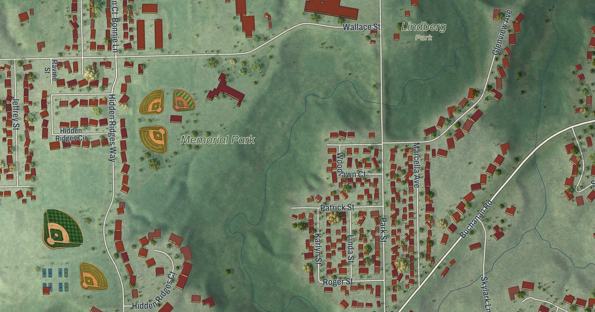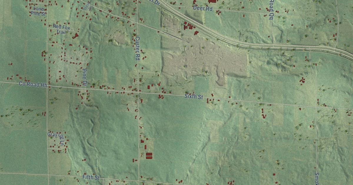
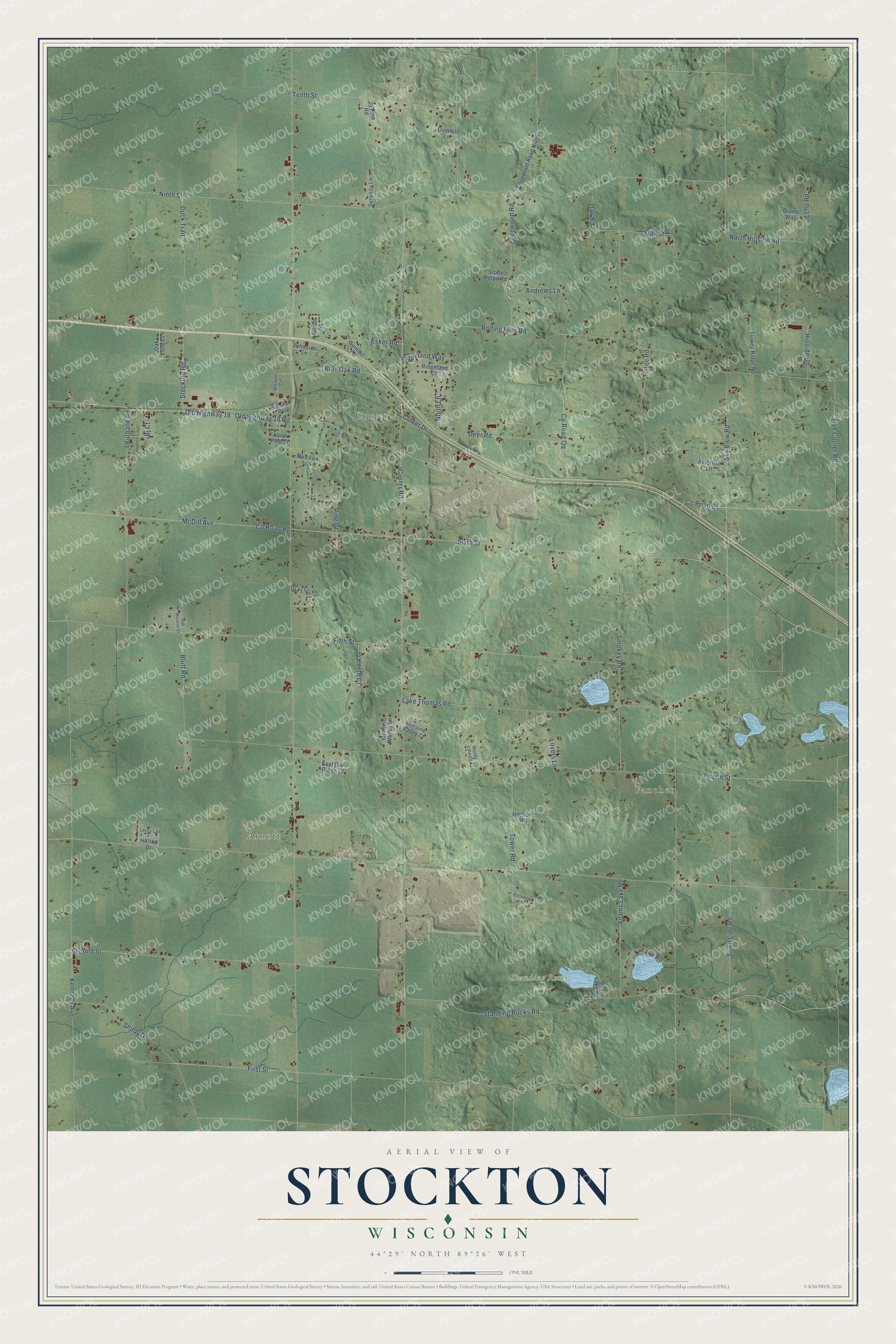
This beautifully detailed map of Stockton, Wisconsin was created in 2026 using aerial imagery combined with modern topographical, census, street and landmark data. It's a modern aerial view of Stockton in Portage County, Wisconsin, that combines modern data with a vintage aesthetic. The roads feature printed names, and if you look closely you can find your exact house accurately shown in its correct location.
Explore an aerial view of Stockton, Wisconsin
On this map you'll find Fancher, Arnott, Custer, Standing Rocks Park, Sky View Road, Burr Oak Road, Sixth Street, Custer Road, Fifth Street, Fourth Street, Old Highway 18, Rolling Hills Road, and more. Each red shape is a building, so zoom in on the preview and look for yours.
Here is a piece of Stockton history, in the words of the record. The Portage County History puts it this way: "Railroad Stations and Rural Centers Custer and Stockton are stations on the Soo line, in Stockton Township, situated in a productive district, chiefly given over to the raising of potatoes and the conduct of dairy interests. Custer has a cheese factory and a saw-mill, as well as four potato warehouses."
Stockton is a town in Portage County. The Census Bureau counted 3,018 people here in 2020.
Take a closer look at the Stockton map
Names on this map
These names are printed on this map.
Places: Fancher, Arnott, Custer and Standing Rocks Park.
Streets and roads: Sky View Road, Burr Oak Road, Sixth Street, Custer Road, Fifth Street, Fourth Street, Old Highway 18, Rolling Hills Road, Kennedy Avenue, Old Highway 18 Road, Town Line Road, Ninth Street.
More street names, A to Z
Adams Lake Road, Ambrose Lane, Andrews Lane, Bear Lake Road, Bj Court, Bluff Road, Burbank Road, County Road Hh, County Road Qq, County Road Ss, Custer Drive, Custer Square, Deer Road, Divine Way, Duck Trail, East Oak Ridge Court, Echo Road, Edgewood Road, Edgewood Road North, Esker Road, First Street, Five Corner Road, Gray Log Lane, Highland Road, Hillcrest Drive, Hillside Road, Hilltop Drive, Johnnie's Lane, Jo Pine Road, Lake Road, Lake Thomas Road, Leroy Lane, Lone Pine Street, Lovers Lane, McDill Avenue, Moraine Valley Court, Moraine Valley Lane, North Hillside Road, North Lane, O'Keefe Court, Oak Lane Court, Oak Moraine Court, Oak Road, Oak Street, Overhill Lane, Pine Drive, Red Fox Trail, Ridgeland Court, Ridgeland Way, Ridge Road, Rockdale Lane, Rocky Line Court, Second Street, Serenity Lane, Shady Drive, Smokey Road, Standing Rocks Road, Stockton Road, Stone Ridge Road, Summit Lane, Tenth Street, Tower Road, Tricia Court, Turkey Ridge Road, Weaver Circle.
Created by KNOWOL in 2026. The buildings are small red shapes, the roads carry their printed names, and shaded relief shows the shape of the land. The title panel reads "AERIAL VIEW OF STOCKTON, WISCONSIN" with 44°29' NORTH 89°26' WEST.
It suits a den, a classroom or a front hall, and it makes a gift for anyone with Stockton roots. Open the preview and find the block you know. See sizes and frames for the Stockton map.