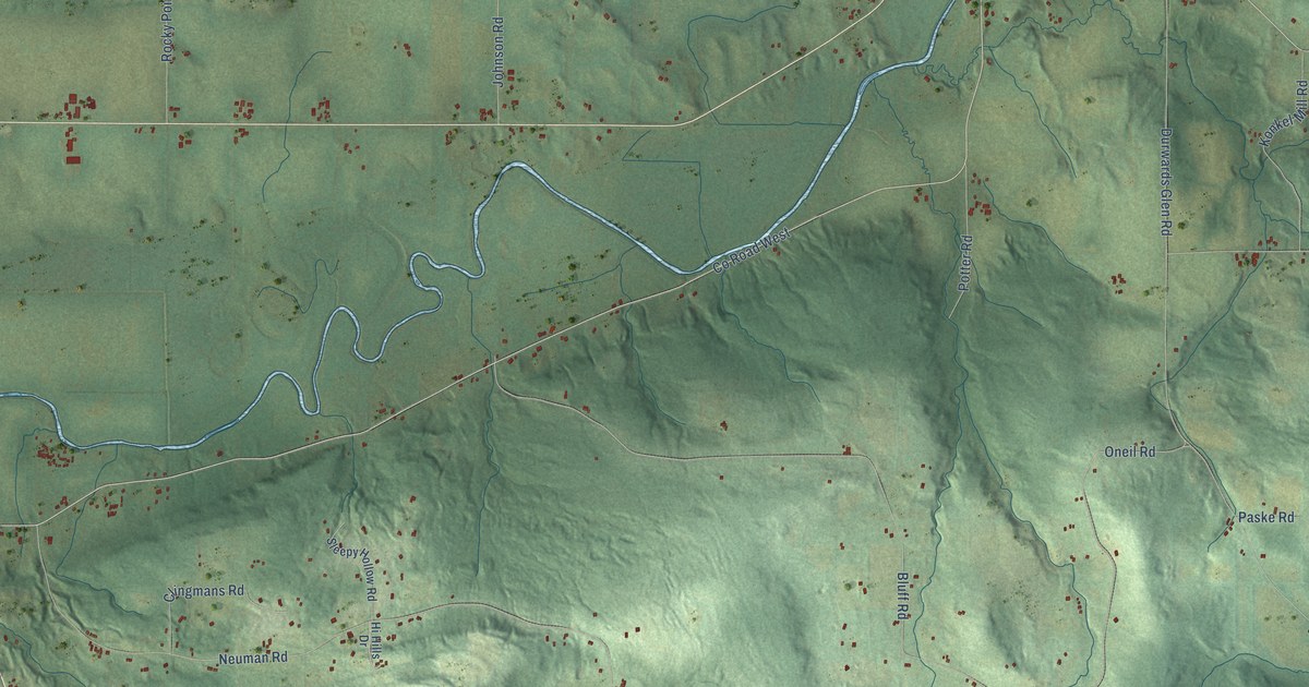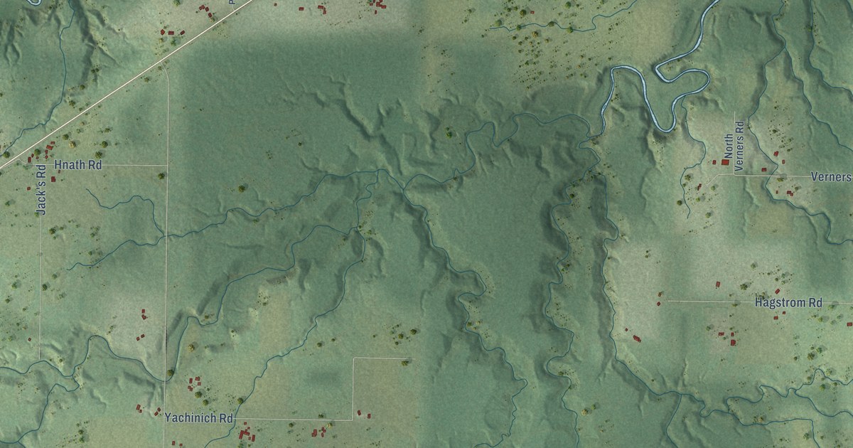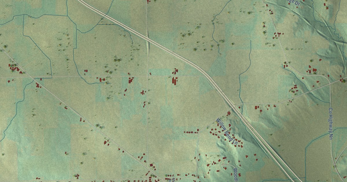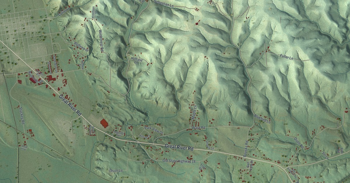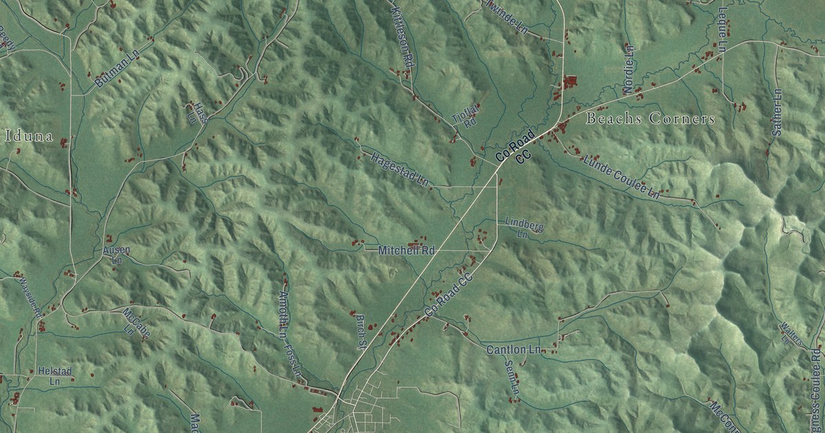
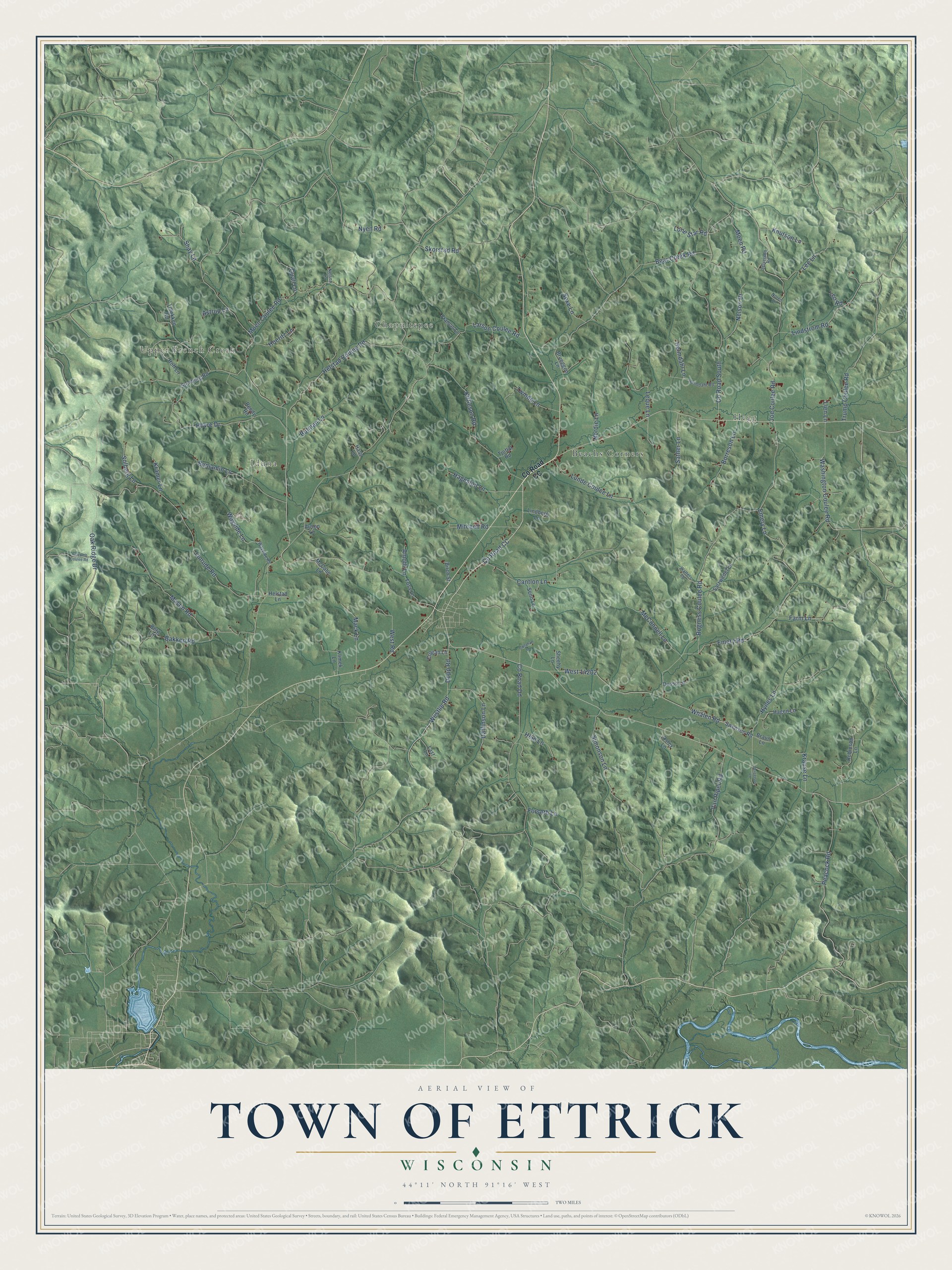
This beautifully detailed map of Ettrick, Wisconsin was created in 2026 using aerial imagery combined with modern topographical, census, street and landmark data. It's a modern aerial view of Ettrick in Trempealeau County, Wisconsin, that combines modern data with a vintage aesthetic. The roads feature printed names, and if you look closely you can find your exact house accurately shown in its correct location.
Explore an aerial view of Ettrick, Wisconsin
On this map you'll find Hegg, Upper French Creek, Chapultepee, Iduna, Beachs Corners, Co Road CC, Sather Lane, Rogness Coulee Road, Whalen Road, Linrude Road, Bear Creek Road, Joe Coulee Road, and more. Each red shape is a building, so zoom in on the preview and look for yours.
Every town has a first chapter, and Ettrick is no exception. The History of Trempealeau County puts it this way: "As early as May, 1855, John Cance settled in what is now the town of Ettrick."
Ettrick is a town in Trempealeau County. The Census Bureau counted 1,285 people here in 2020.
Take a closer look at the Ettrick map
Names on this map
These names are printed on this map.
Places: Hegg, Upper French Creek, Chapultepee, Iduna and Beachs Corners.
Streets and roads: County Road CC, Sather Lane, Rogness Coulee Road, Whalen Road, Linrude Road, Bear Creek Road, Joe Coulee Road, County Road South, Emery Lane, Moen Coulee Road, Kittleson Road, Cantlon Lane.
More street names, A to Z
Amoth Lane, Astrup Lane, Ausen Lane, Bakken Road, Benjamin Lane, Bergerson Lane, Berg Lane, Birch Street, Borreson Lane, Braun Lane, Brueggen Lane, Butman Lane, Callahan Lane, County Road Dd, Crogan Lane, Daffinson Lane, Dopp Road, Dusso Lane, Emery Road, Farm Lane, Forseth Lane, Foss Lane, Francis Lane, Hagen Lane, Hagestad Lane, Hass Lane, Heimdahl Road, Hein Lane, Helmdahl Lane, Helstad Coulee Road, Helstad Lane, Hoeritz Lane, Hoff Lane, Holcomb Coulee Road, Hovre Drive, Hynes Lane, Klimek Lane, Knutson Lane, Kramer Lane, Krause Lane, Larson Coulee Road, Last Lane, Lee Lane, Leo Road, Leque Lane, Lien Lane, Lindberg Lane, Lindstrom Road, Lone Star Road, Lunde Coulee Lane, Mack Lane, Mason Road, McCabe Lane, McConnell Lane, Mitchell Road, Moen Road, Nelson Drive, Nelson Lane, Nordie Lane, Noren Lane, Nyen Road, Oak Ridge Drive, Osley Lane, Peacock Road, Quall Lane, Reedy Road, Robinson Lane, Salzwedel Lane, Senn Lane, Sexe Lane, Shay Lane, Sheehy Lane, Simonson Lane, Skorstad Road, Solberg Lane, Stenberg Road, Swenson Road, Sylverson Road, Tjoflat Road, Tolokken Road, Trump Coulee Road, Twinde Lane, Van Riper Road, Walters Lane, Washington Coulee Road, Wayside Lane, Wayside Road, West 14202, Westlie Road, West Road.
Created by KNOWOL in 2026. The buildings are small red shapes, the roads carry their printed names, and shaded relief shows the shape of the land. The title panel reads "AERIAL VIEW OF TOWN OF ETTRICK, WISCONSIN" with 44°11' NORTH 91°16' WEST.
Hang it in the hallway, the office or the cabin, or give it to someone who left Ettrick and still calls it home. Open the preview and look for a street you know. See sizes and frames for the Town of Ettrick map.