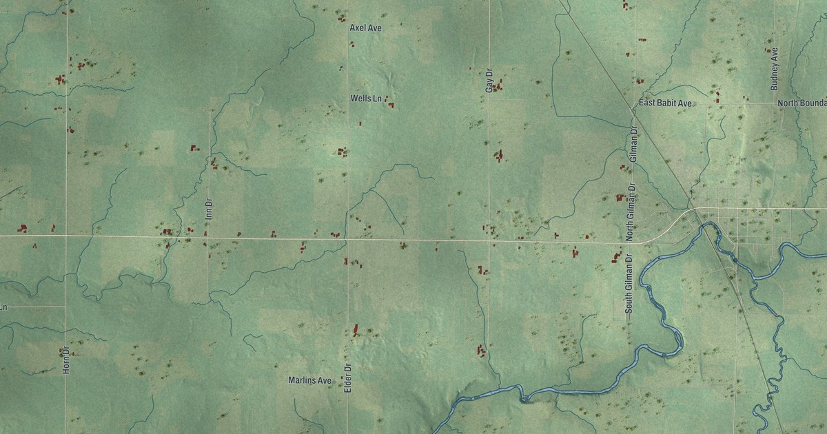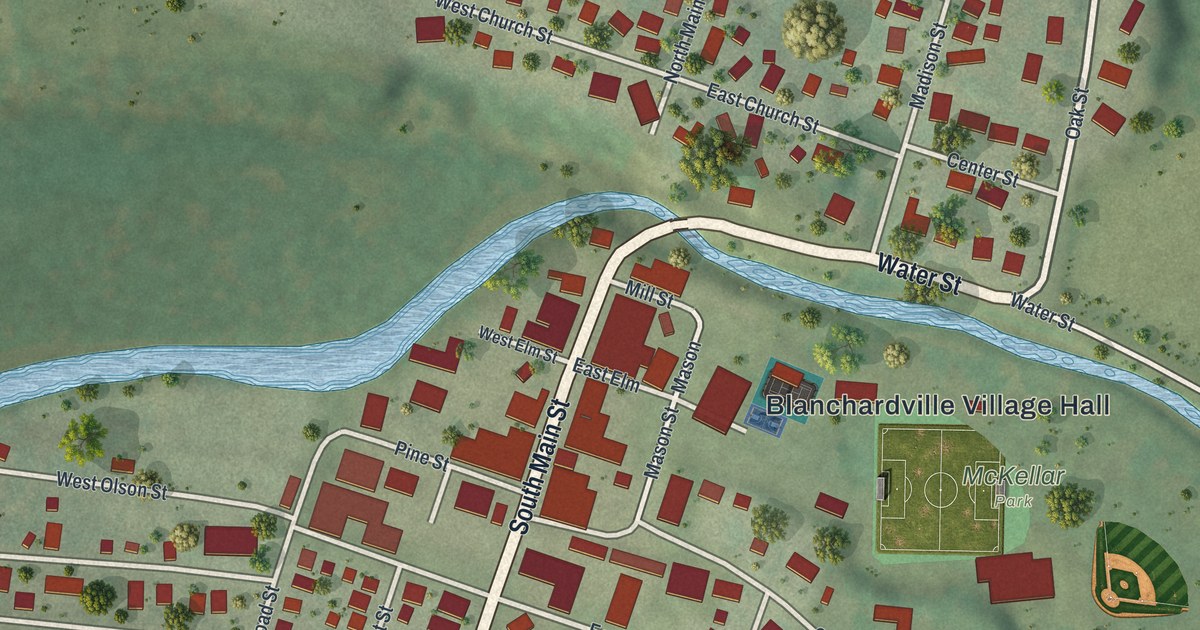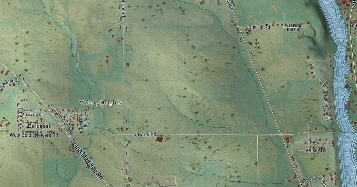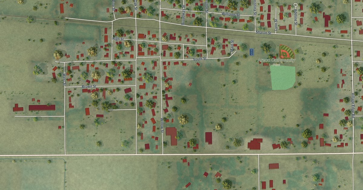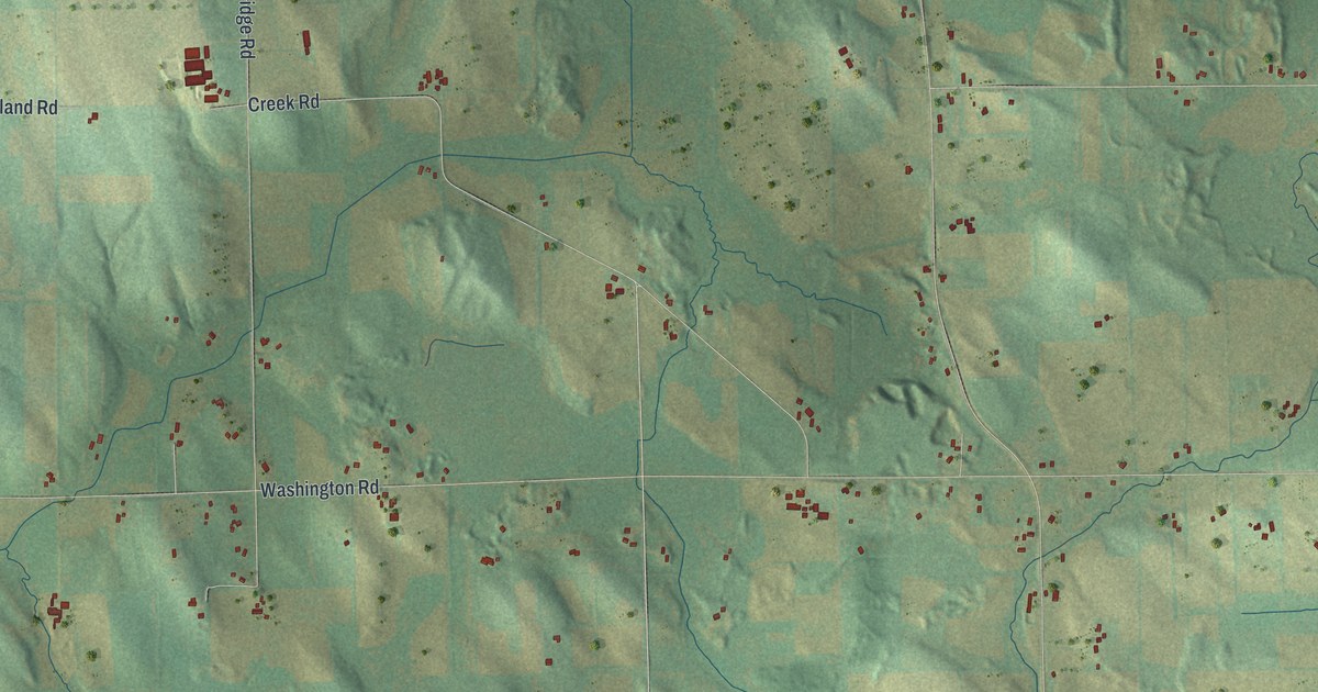
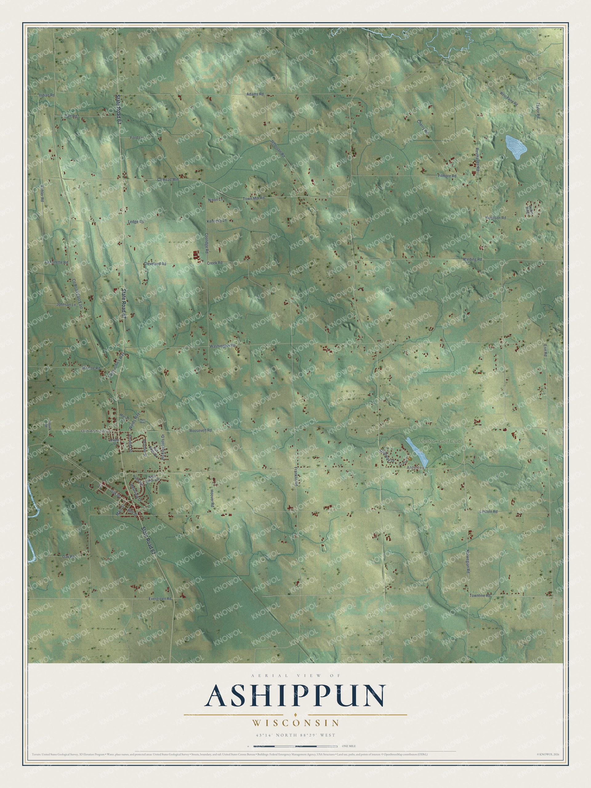
This beautifully detailed map of Ashippun, Wisconsin was created in 2026 using aerial imagery combined with modern topographical, census, street and landmark data. It's a modern aerial view of Ashippun in Dodge County, Wisconsin, that combines modern data with a vintage aesthetic. The roads feature printed names, and if you look closely you can find your exact house accurately shown in its correct location.
Explore an aerial view of Ashippun, Wisconsin
On this map you'll find Old Ashippun, Alderley, Deertrak Golf Club, State Road 67, Norwegian Road, Townline Road, Oak Street, Franklin Road, Lincoln Road, Roosevelt Road, Washington Road, Co Road Mm, and more. Each red shape is a building, so zoom in on the preview and look for yours.
Ashippun has a story worth telling. The Internet Archive puts it this way: "The
town of Ashippun is chiefly settled by Scandinavians, while the Irish may be said to predomi-
nate in the towns of Elba, Portland and Shields."
Ashippun is a town in Dodge County. The Census Bureau counted 2,663 people here in 2020.
Take a closer look at the Ashippun map
Names on this map
These names are printed on this map.
Places: Old Ashippun, Alderley and Deertrak Golf Club.
Streets and roads: State Road 67, Norwegian Road, Townline Road, Oak Street, Franklin Road, Lincoln Road, Roosevelt Road, Washington Road, County Road Mm, County Road East East, Erin Road, Adams Road.
More street names, A to Z
Amanda Street, Ann Street, Cherry Road, Cleveland Road, Coolidge Road, Creek Road, Elm Street, Erv-Mary Drive, Evergreen Road, Filmore Road, Ford Lane, Harding Road, Heather Street, Hickory Hills Drive, Hoover Road, Indian Road, Jefferson Road, Johnson Lane, Kennedy Lane, Kohler Road, La Follette Road, Ledge Road, Main Street, Maple Street, Mariah Lane, Mary Parkway, Monroe Road, Nixon Lane, North Avenue, Oak Ridge Drive, Oak Road, Plover Road, Resthaven Road, Robin Ridge, Rolefson Road, Saint John's Way, Steinway Drive, Taft Road, Taylor Road, Town Mm Road, West Paine Road, West Schure Drive, Westview Drive, Winds Way.
Created by KNOWOL in 2026. The buildings are small red shapes, the roads carry their printed names, and shaded relief shows the shape of the land. The title panel reads "AERIAL VIEW OF ASHIPPUN WISCONSIN" with 43°14' NORTH 88°29' WEST.
It looks right in a kitchen, an office or a den, and it's a gift for anyone who grew up in Ashippun or moved away. Open the preview and find your street. See sizes and frames for the Ashippun map.