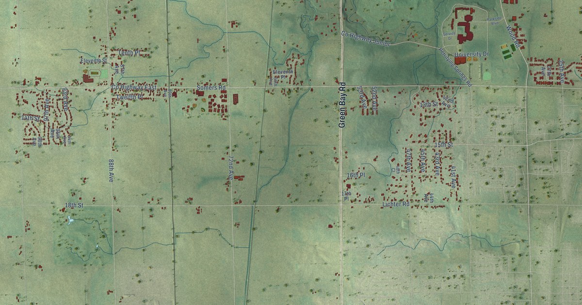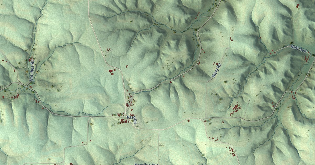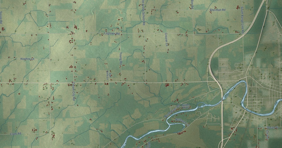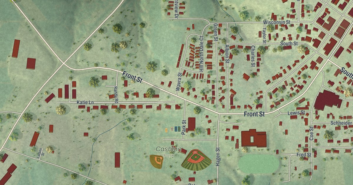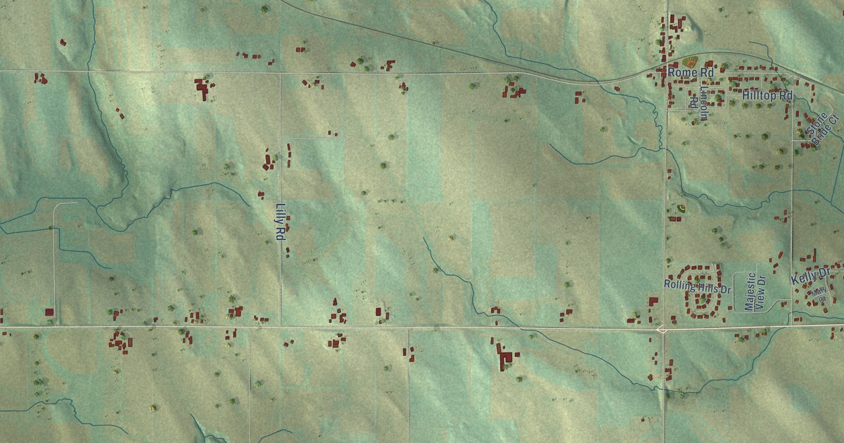
This beautifully detailed map of Rubicon, Wisconsin was created in 2026 using aerial imagery combined with modern topographical, census, street and landmark data. It's a modern aerial view of Rubicon in Dodge County, Wisconsin, that combines modern data with a vintage aesthetic. The roads feature printed names, and if you look closely you can find your exact house accurately shown in its correct location.
Explore an aerial view of Rubicon, Wisconsin
On this map you'll find Woodland, Saylesville, State Road 67, Co Road Nn, Goodland Road, Lehman Road, Taylor Road, Co Road North, Pond Road, Butler Road, Woodland Road, South Goodland Road, and more. Each red shape is a building, so zoom in on the preview and look for yours.
Here is a piece of Rubicon history, in the words of the record. The History of Dodge County puts it this way: "A post office had long been held in the neighborhood, and on completion of the railroad, was moved to the village and its name changed from Upton to Rubicon. The first hotel was built in 1857, by Stoughton Rickard, who sold the same to Edward Judd."
Rubicon is a town in Dodge County. The Census Bureau counted 2,117 people here in 2020.
Take a closer look at the Rubicon map
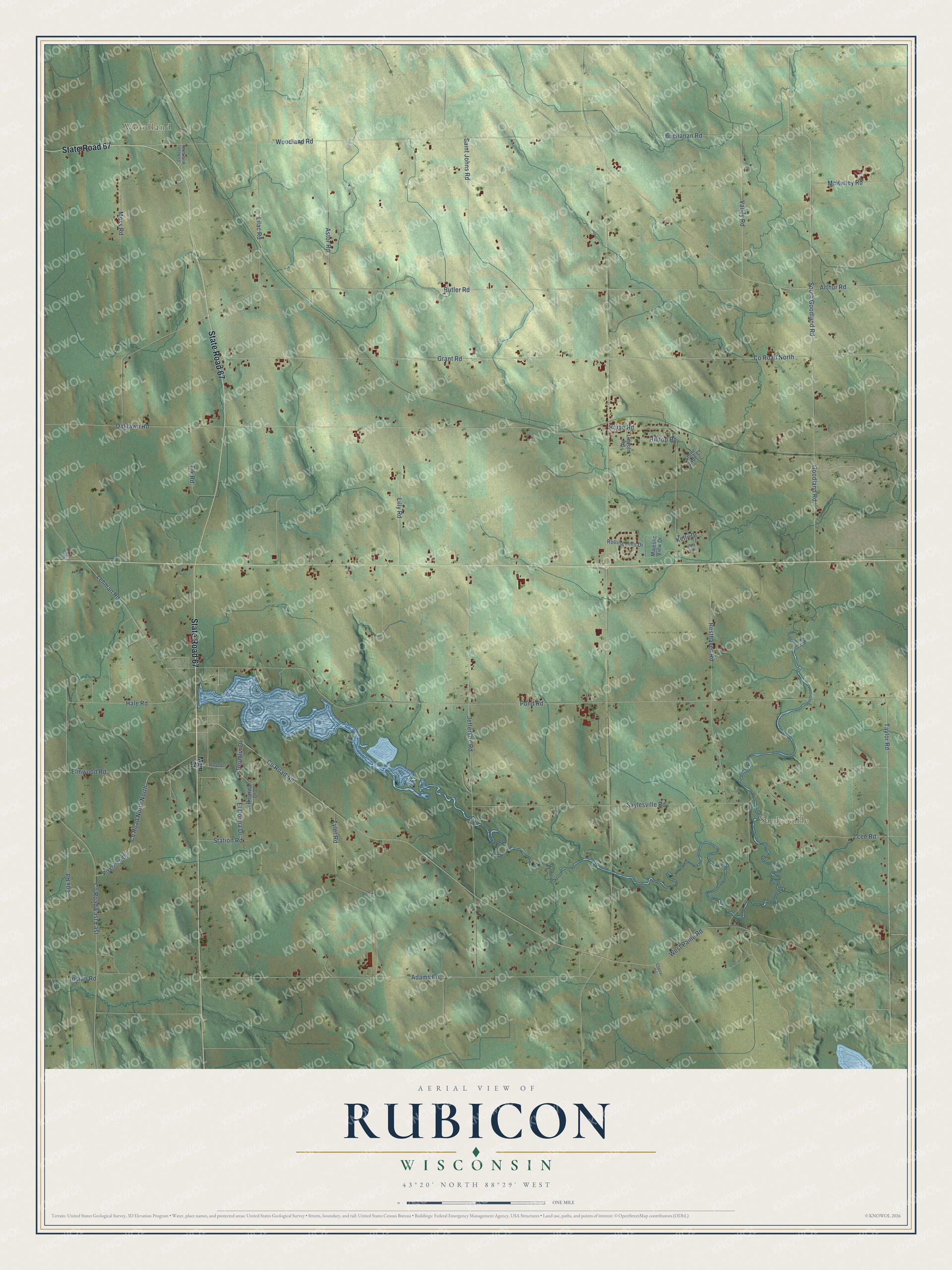
Names on this map
These names are printed on this map.
Places: Woodland and Saylesville.
Streets and roads: State Road 67, County Road Nn, Goodland Road, Lehman Road, Taylor Road, County Road North, Pond Road, Butler Road, Woodland Road, South Goodland Road, Saylesville Road, Resthaven Road.
More street names, A to Z
Adams Road, Arthur Road, Astor Road, Buchanan Road, Cherry Road, County Road East East, County Road North North, County Road West South, Drumlin Drive, El Donna Drive, Elk Road, Elmwood Road, Fox Road, Grant Road, Hale Road, Hilltop Road, Indian Road, Jefferson Road, Kelly Drive, Lee Road, Lilac Road, Lilly Road, Lincoln Road, Main Street, Majestic View Drive, Mary Court, McKinley Road, Moss Road, North Fish Road, Oaklawn Road, Ricardo Drive, Riverview Drive, Rolling Hills Drive, Rome Road, Saint Johns Road, Schaefer Drive, Station Road, Stone Bride Court, Tyler Road, Valley Road, West Paine Road.
Created by KNOWOL in 2026. The buildings are small red shapes, the roads carry their printed names, and shaded relief shows the shape of the land. The title panel reads "AERIAL VIEW OF RUBICON, WISCONSIN" with 43°20' NORTH 88°29' WEST.
It suits a den, a classroom or a front hall, and it makes a gift for anyone with Rubicon roots. Open the preview and find the block you know. See sizes and frames for the Rubicon map.