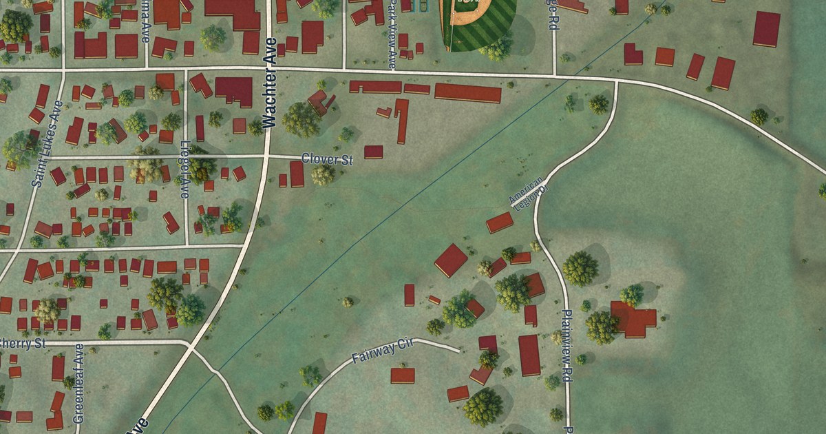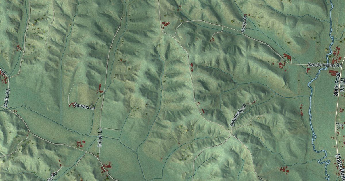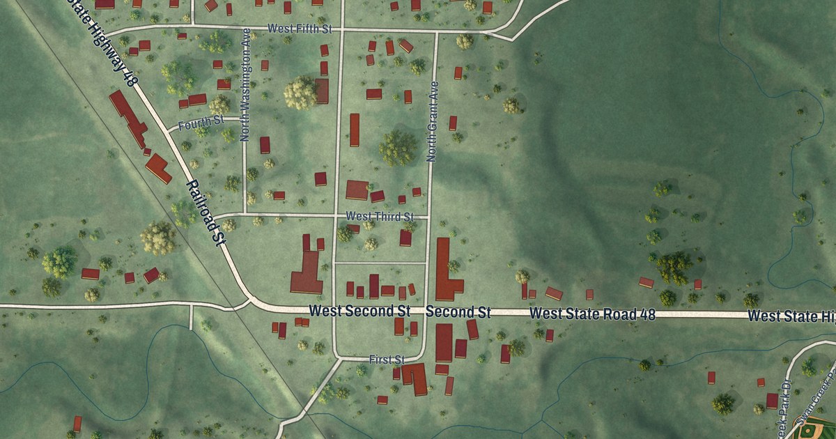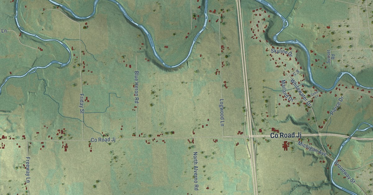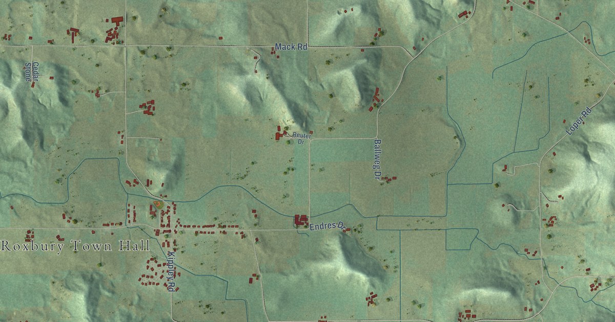
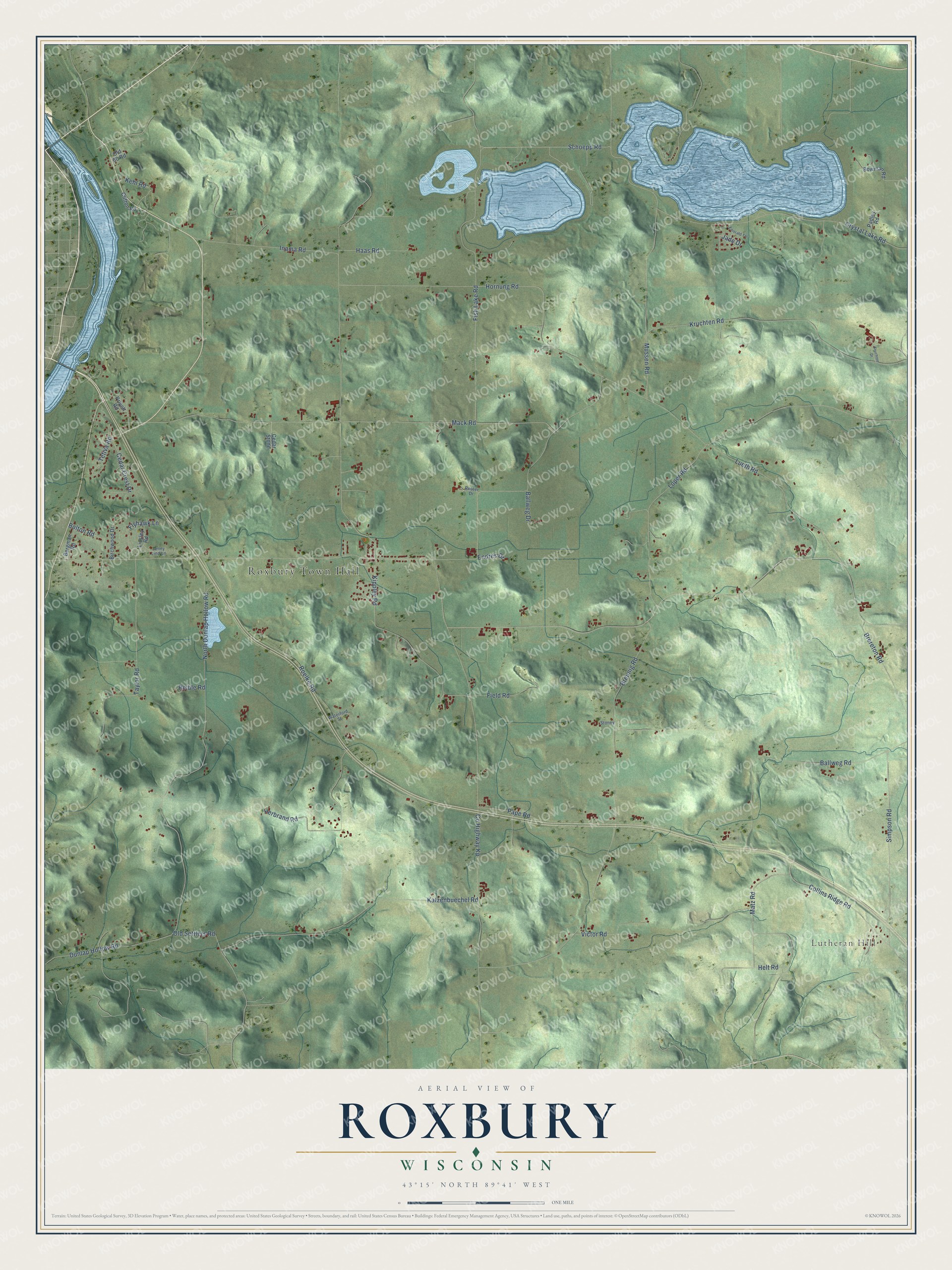
This beautifully detailed map of Roxbury, Wisconsin was created in 2026 using aerial imagery combined with modern topographical, census, street and landmark data. It's a modern aerial view of Roxbury in Dane County, Wisconsin, that combines modern data with a vintage aesthetic. The roads feature printed names, and if you look closely you can find your exact house accurately shown in its correct location.
Explore an aerial view of Roxbury, Wisconsin
On this map you'll find Roxbury Town Hall, Lutheran Hill, North Dunlap Hollow Road, Kippley Road, Schoepp Road, Inama Road, Mack Road, Breunig Road, Co Highway Kp, Hornung Road, Fish Lake Road, Mussen Road, and more. Each red shape is a building, so zoom in on the preview and look for yours.
Every town has a first chapter, and Roxbury is no exception. The Internet Archive puts it this way: "Clifton village is a small settlement on section 6, at which place there
is a bridge across the Wisconsin river."
Roxbury is a town in Dane County. The Census Bureau counted 1,871 people here in 2020.
Take a closer look at the Roxbury map
Names on this map
These names are printed on this map.
Places: Roxbury Town Hall and Lutheran Hill.
Streets and roads: North Dunlap Hollow Road, Kippley Road, Schoepp Road, Inama Road, Mack Road, Breunig Road, County Highway Kp, Hornung Road, Fish Lake Road, Mussen Road, Katzenbuechel Road, Kruchten Road.
More street names, A to Z
Ballweg Drive, Ballweg Road, Bergman Road, Birchwood Drive, Bolton Road, Bowman Road, Brereton Road, Cedar Crest Drive, Cedar Stone, Clifton Road, Collins Ridge Road, Crystal Lake Road, Dunlap Hollow Road, Emerald Terrace, Endres Drive, Field Road, Flyhawk Lane, Haas Road, Helt Road, Herbrand Road, Jade Drive, Jenny Lind Lane, Kehl Road, Kruchten Drive, Linsley Road, Loper Road, Lueth Road, Matz Road, Old 60 Road, Old Settlers Road, Padley Road, Pape Road, Privett Road, Reible Road, Reuter Drive, Roelke Road, Simpson Road, Stoney, Taylor Road, Tetiva Road, Victor Road, Waterford Street.
Created by KNOWOL in 2026. The buildings are small red shapes, the roads carry their printed names, and shaded relief shows the shape of the land. The title panel reads "AERIAL VIEW OF ROXBURY, WISCONSIN" with 43°15' NORTH 89°41' WEST.
Hang it in the hallway, the office or the cabin, or give it to someone who left Roxbury and still calls it home. Open the preview and look for a street you know. See sizes and frames for the Roxbury map.