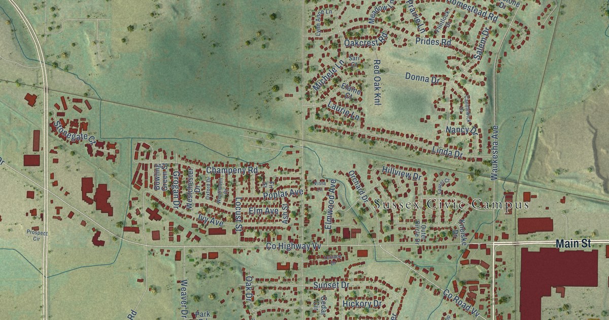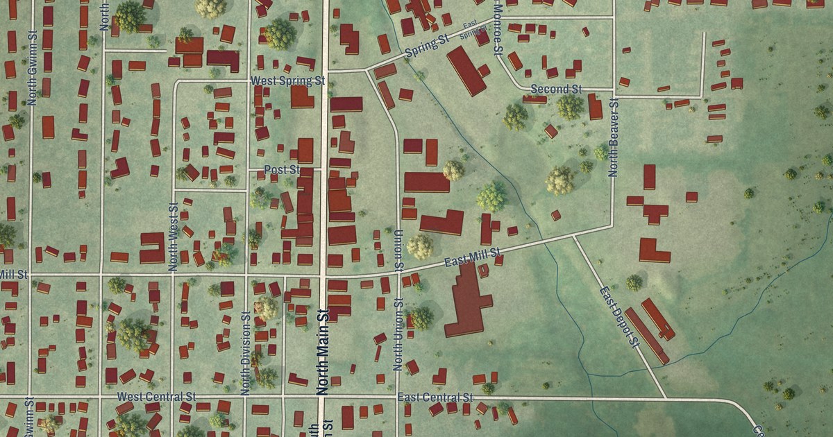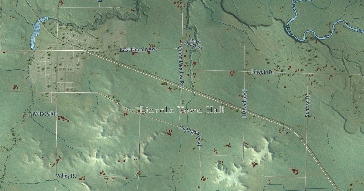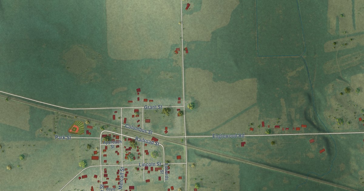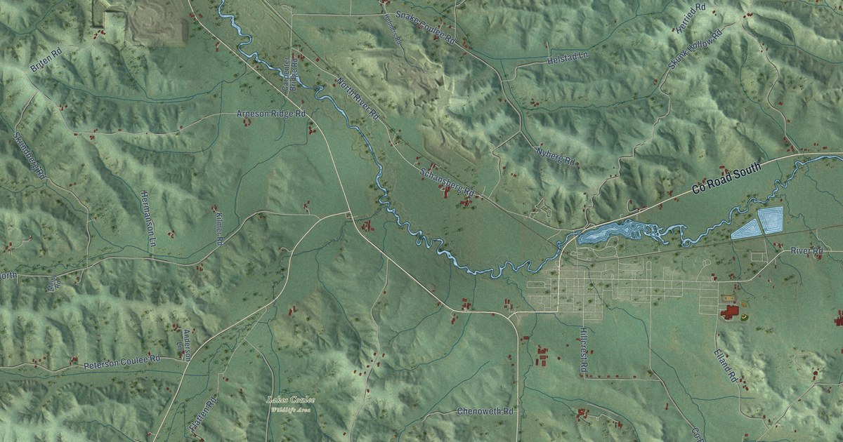
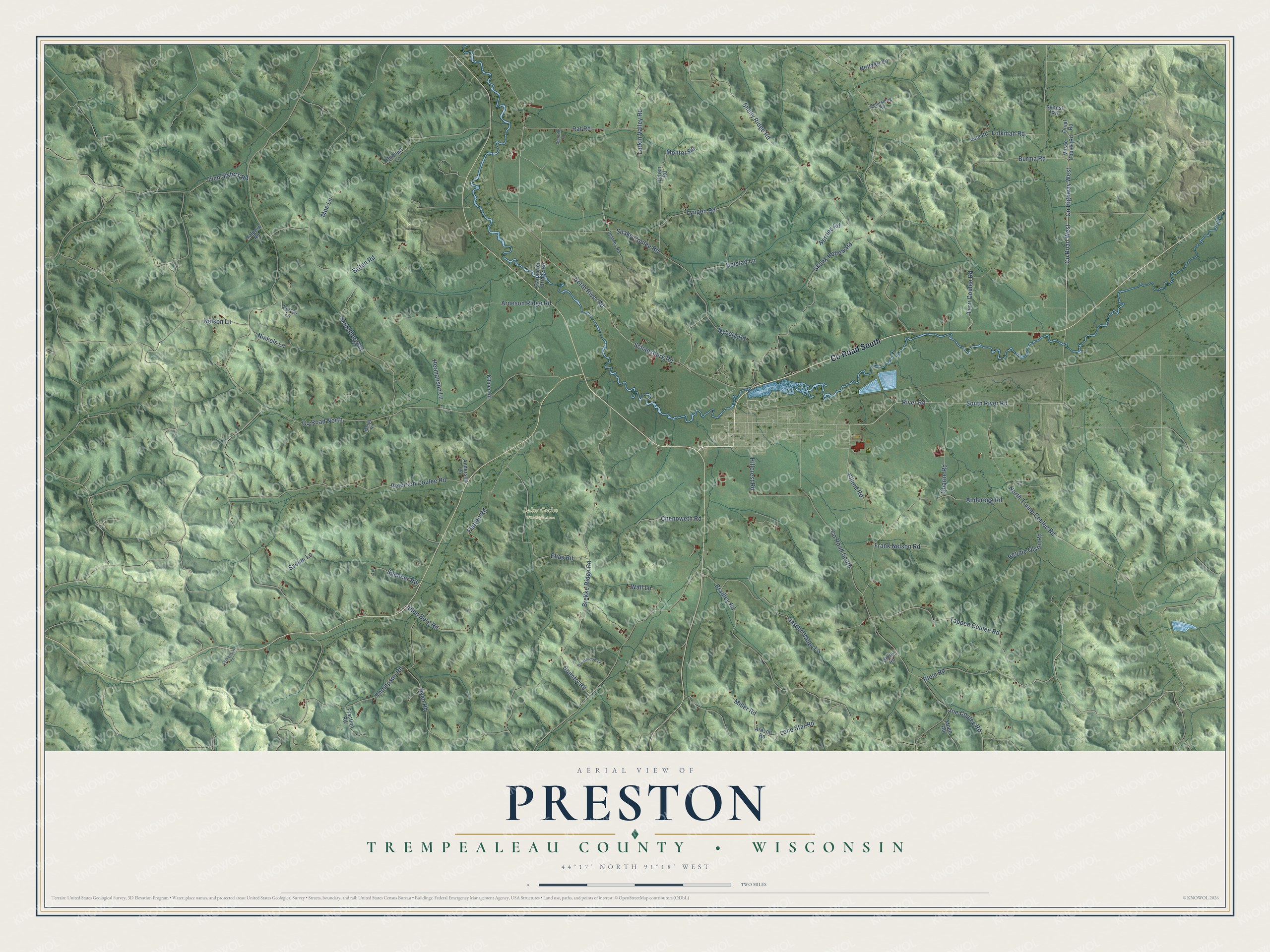
This beautifully detailed map of Preston, Wisconsin was created in 2026 using aerial imagery combined with modern topographical, census, street and landmark data. It's a modern aerial view of Preston in Trempealeau County, Wisconsin, that combines modern data with a vintage aesthetic. The roads feature printed names, and if you look closely you can find your exact house accurately shown in its correct location.
Explore an aerial view of Preston, Wisconsin
On this map you'll find Lakes Coulee Wildlife Area, Co Road South, Co Road West, South River Road, Co Highway West, Tappen Coulee Road, Co Road North, Schansberg Road, Brekke Ridge Road, Larkin Valley Road, Arneson Ridge Road, North River Road, and more. Each red shape is a building, so zoom in on the preview and look for yours.
Preston has a story worth telling. The History of Trempealeau County puts it this way: "Preston was named from Susan H. Reynolds, the wife of Edmond M. Reynolds, one of the earliest settlers of Preston Township. Mrs. Reynolds came of the old New England family of Prestons, and at the first town meetings Mr. Reynolds proposed that the town be named in her honor."
Preston is a town in Trempealeau County. The Census Bureau counted 942 people here in 2020.
Take a closer look at the Preston map
Names on this map
These names are printed on this map.
Places: Lakes Coulee Wildlife Area.
Streets and roads: County Road South, County Road West, South River Road, County Highway West, Tappen Coulee Road, County Road North, Schansberg Road, Brekke Ridge Road, Larkin Valley Road, Arneson Ridge Road, North River Road, Shelly Ridge Road.
More street names, A to Z
Allen Berg Road, Anderegg Road, Anderson Lane, Areson Road, Bennie Olson Road, Bixby Road, Blom Road, Bradley Road, Briten Road, Burma Road, Carpenter Bridge Road, Chenoweth Road, Country Road, Dubbert Lane, Elias Road, Elland Road, Flatten Road, Folkman Road, Fraction Road, Frank Nelson Road, Garden Valley Lane, Gilbertson Lane, Glenville Lane, Halpern Road, Helmers Road, Helstad Lane, Hermanson Lane, Herried Road, Hillcrest Road, Joe Coulee Road, Kilmer Road, Larrys Lane, Lien Sisters Road, Lone Star Road, Lyngen Road, Melby Road, Miller Road, Moe Lane, Moen Road, Molitor Road, Neitzke Lane, Nelson Lane, Nickels Lane, North Trump Coulee Road, Nyberg Road, Nyen Road, Orval Road, Petersburg Road, Peterson Coulee Road, Quarne Road, Rat Road, River Road, Skundberg Road, Skunk Hollow Road, Snake Coulee Road, Spencer Road, Sun Meadow Lane, Sveum Lane, Sylfest Road, Thompson Road, Turri Coulee Road, Urlien Road, Vold Road, Vosse Coulee Road, Wall Lane.
Created by KNOWOL in 2026. The buildings are small red shapes, the roads carry their printed names, and shaded relief shows the shape of the land. The title panel reads "AERIAL VIEW OF PRESTON, TREMPEALEAU COUNTY • WISCONSIN" with 44°17' NORTH 91°18' WEST.
It looks right in a kitchen, an office or a den, and it's a gift for anyone who grew up in Preston or moved away. Open the preview and find your street. See sizes and frames for the Preston, Trempealeau County map.