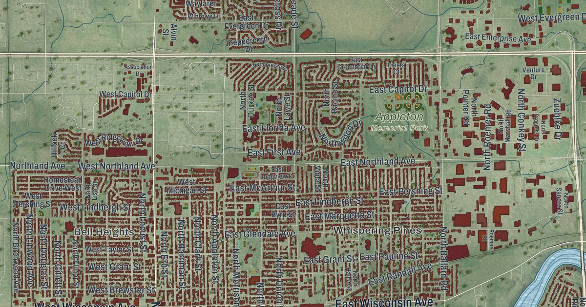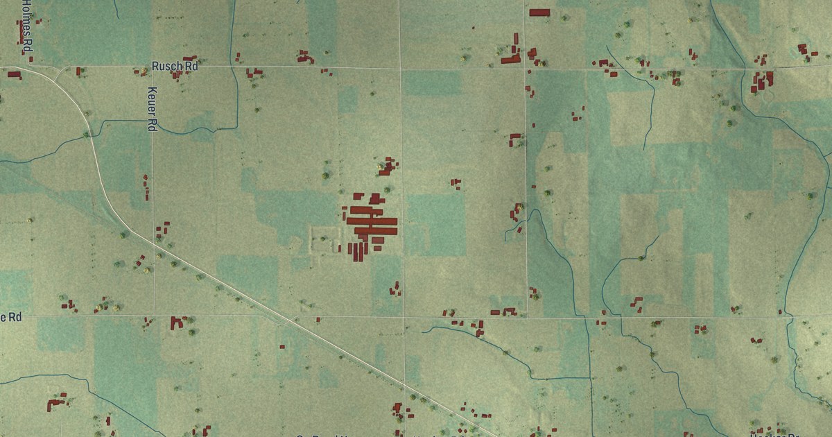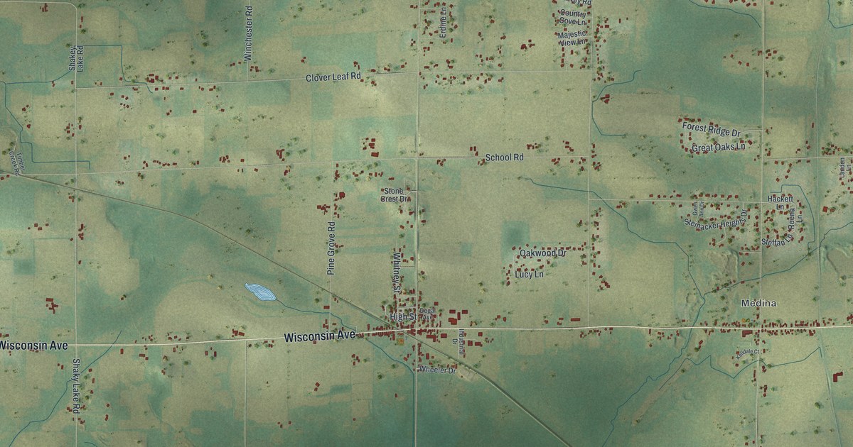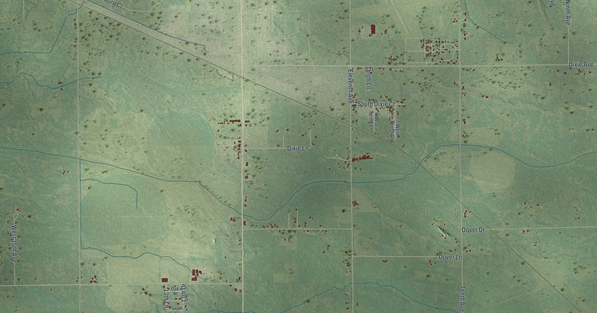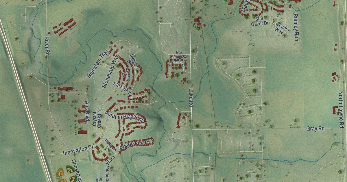
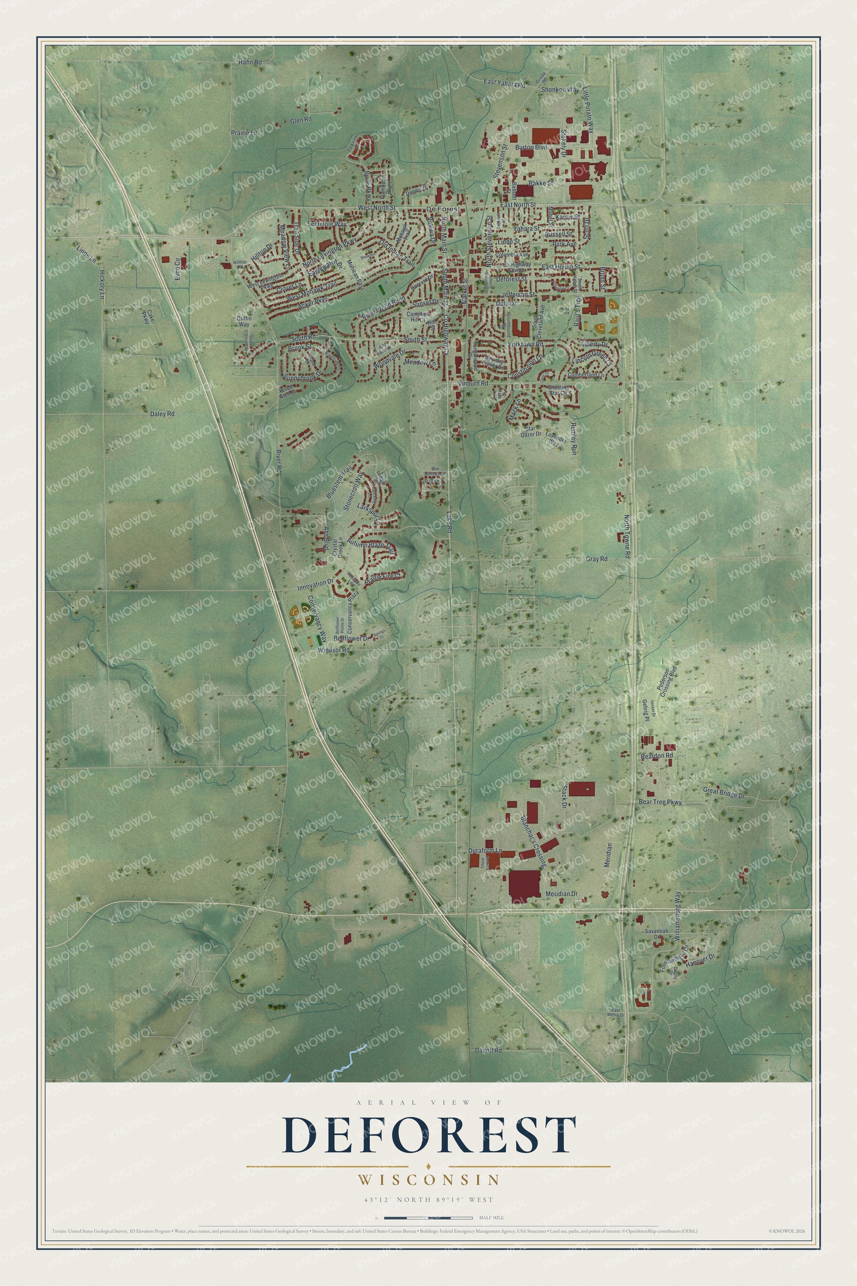
This beautifully detailed map of DeForest, Wisconsin was created in 2026 using aerial imagery combined with modern topographical, census, street and landmark data. It's a modern aerial view of DeForest in Dane County, Wisconsin, that combines modern data with a vintage aesthetic. The roads feature printed names, and if you look closely you can find your exact house accurately shown in its correct location.
Explore an aerial view of DeForest, Wisconsin
On this map you'll find De Forest, West North Street, East North Street, Co Highway Cv, Brule Parkway, East Yahara Road, West Mohawk Trail, Raul's Trce, Innovation Drive, North Lexington Parkway, Williamsburg Way, Stevenson Street, and more. Each red shape is a building, so zoom in on the preview and look for yours.
DeForest is a village in Dane County. The Census Bureau counted 10,811 people here in 2020. The map prints the town name in its title panel, with the coordinates below it.
Take a closer look at the DeForest map
Names on this map
These names are printed on this map.
Places: De Forest.
Streets and roads: West North Street, East North Street, County Highway Cv, Brule Parkway, East Yahara Road, West Mohawk Trail, Raul's Trce, Innovation Drive, North Lexington Parkway, Williamsburg Way, Stevenson Street, Brook Street.
More street names, A to Z
Abs Boulevard, Acker Parkway, Anderson Street, Autumn Blaze Trail, Bakke Street, Bassett Street, Bear Tree Parkway, Bellflower Drive, Bellflower Pointe Drive, Blanchar's Crossing, Bluestem Trail, Bruns Street, Burton Boulevard, Cake Parkway, Campbell Hill Court, Catchfly Lane, Chase Farm Road, Clover Lane, Columbia Avenue, Conservancy Plaza, Conservancy Way, Constitution Lane, Country Clover Drive, County Highway Divide, Crystal Creek Lane, Cumberland Lane, Daentl Road, Dagny Drive, Dahl Drive, Daley Road, Deforest Street, Dennis Drive, Duraform Lane, Eaglewatch Drive, East Holum Street, East Metro Drive, Evco Circle, Flambeau Parkway, Fountainhead Circle, Gehrig Place, Glen Road, Gray Road, Great Bridge Drive, Griffin Way, Grinde Road, Hahn Road, Hanover Drive, Harvard Drive, Hickory Lane, Hill Street, Hilltop Drive, Hilltop Road, Indigo Drive, Island Drive, Jefferson Court, Jefferson Street, Karow Street, Lake Road, Larkspur Lane, Lavender Way, Liberty Drive, Lincoln Green Court, Linde Lane, Linde Street, Little Potato Way, Louis Court, Mabel Street, Mack Lane, Market Street, Meadow Lane, Meadow View Lane, Meridian, Meridian Drive, Mohawk Trail, Mohican Pass, Nash Lane, North Main Street, North Stevenson Street, North Towne Road, Oak Springs Circle, Old Indian Trail, Paradise Circle, Park Avenue, Parkview Drive, Pederson Crossing Boulevard, Prairie Fire Court, Prairie Lane, Reardon Road, Redspire Lane, River Road, Riverside Drive, River Wood Bend, Rumley Run, Russell Street, Savannah Drive, Scott Drive, Seminole Way, Shane O'Donnell Drive, Shawnee Court, Shonkoo Way, Shooting Star Circle, Southbound Drive, South Cleveland Avenue, South Halsor Street, South Main Street, South Road, South Stevenson Street, South Street, Springs Court, Stack Drive, Star Gazer Drive, Stokely Drive, Stonecrop Way, Sunnybrook Drive, Sunset Drive, Tanglewood Drive, Trail Side Drive, Uecker Drive, Valeria Drive, Vinburn Road, West Lexington Parkway, Wild Plum Drive, Windsor Road, Wood Glen Court, Woodvale Drive, Yahara Street, Yorktown Road.
Created by KNOWOL in 2026. The buildings are small red shapes, the roads carry their printed names, and shaded relief shows the shape of the land. The title panel reads "AERIAL VIEW OF DEFOREST, WISCONSIN" with 43°12' NORTH 89°19' WEST.
It suits a den, a classroom or a front hall, and it makes a gift for anyone with DeForest roots. Open the preview and find the block you know. See sizes and frames for the DeForest map.