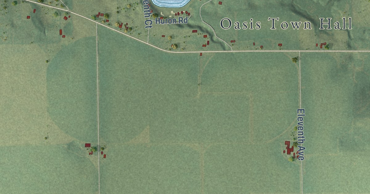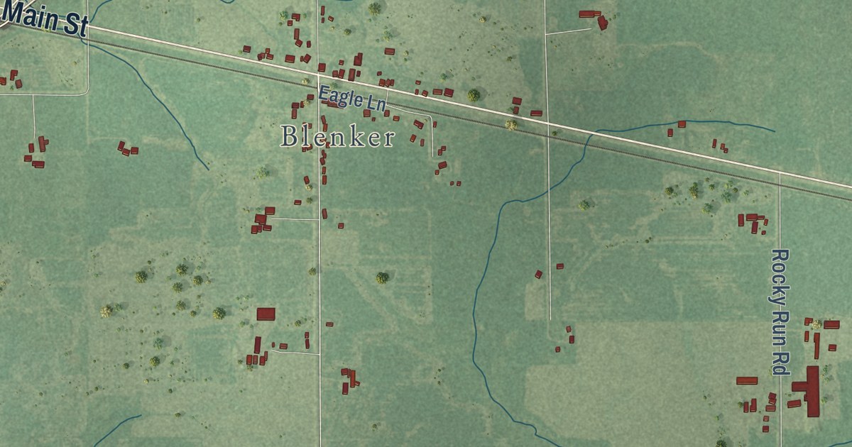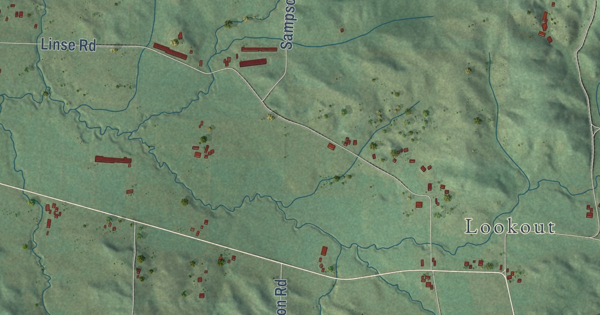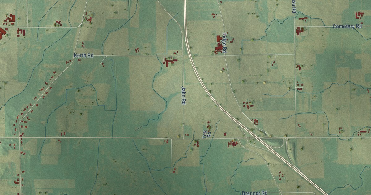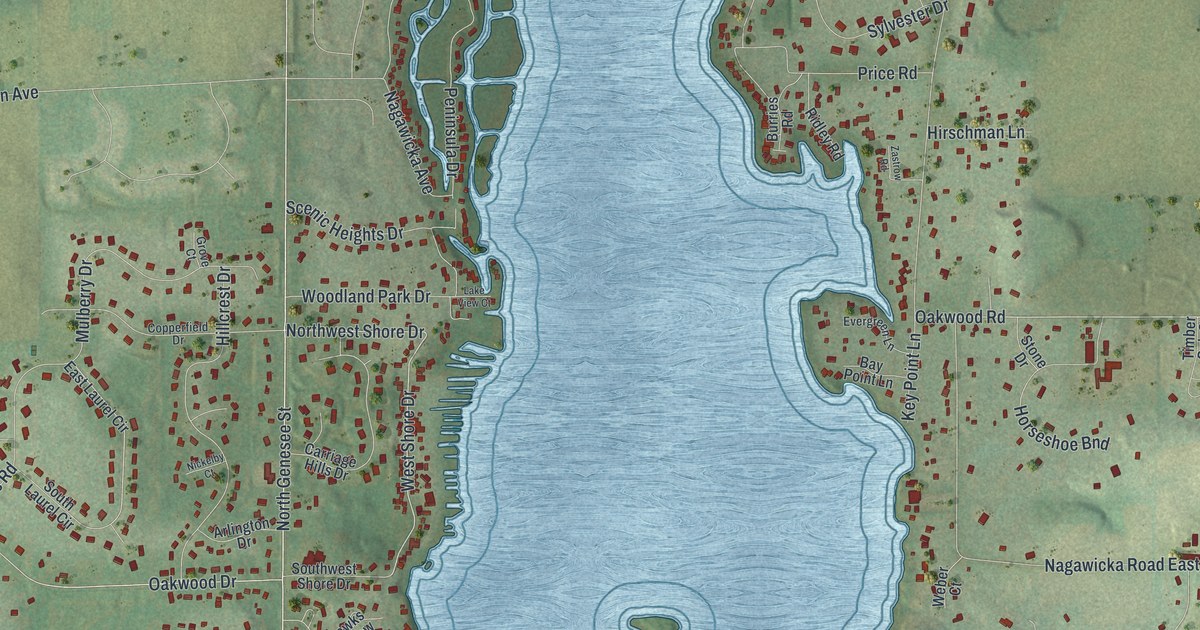
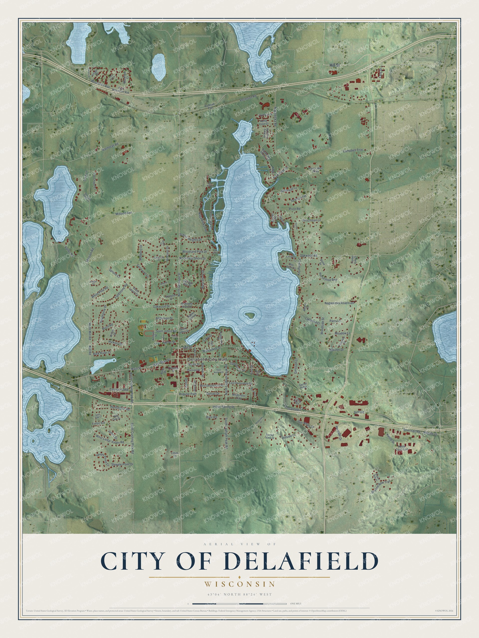
This beautifully detailed map of Delafield, Wisconsin was created in 2026 using aerial imagery combined with modern topographical, census, street and landmark data. It’s a one-of-a-kind view of Delafield that combines accurate data with a vintage aesthetic. The map shows every building in its true location, many of the roads carry their names, and the shaded topographic relief shows the shape of the land.
Explore an aerial view of Delafield, Wisconsin
On the map you’ll find Delafield City Hall and Naga-Waukee County Park, along with Hill Street, North Genesee Street, West Main Street, Wells Street, Main Street, West Shore Drive, Hickory Drive, Milwaukee Street, Oakwood Drive, North Mill Road, and more. If you look closely you can even find your house accurately drawn in its correct location. Zoom in on the preview to look for yours.
Did you know this piece of Delafield, Wisconsin history?
From the Waukesha County History: "The first store in the town was opened at Delafield in 1843, by Albert Alden, in the building afterward occupied as a hotel by Silas Barber."
Take a closer look at the Delafield map
Street and place names on the Delafield, Wisconsin map
These names are printed on the map of Delafield, Wisconsin.
Places: Delafield City Hall and Naga-Waukee County Park.
Streets and roads: Hill Street, North Genesee Street, West Main Street, Wells Street, Main Street, West Shore Drive, Hickory Drive, Milwaukee Street, Oakwood Drive, North Mill Road, Oakwood Road, Nashotah Road.
More street names, A to Z
Anderson Drive, Arlington Drive, Bahr Road, Bark River Court, Bark River Drive, Bay Point Lane, Bay View Court, Birch Road, Bleeker Street, Broken Bow Court, Broken Bow Trail, Brookside Court, Burries Road, Butler Drive, Campbell Trce, Carriage Hills Drive, Church Street, Circle Ridge, Copperfield Drive, County Road Ppp, Crossroads Court, Division Street, East Devonshire Road, East Kenora Drive, East Laurel Circle, East Wisconsin Avenue, Easy Street, Enterprise Road, Evelyn Avenue, Evergreen Lane, Exeter Street, Faire Lakes Parkway, Fieldstone Road, First Street, Garner Ridge, Garrison Court, Glen Oak Court, Golf Road, Grove Court, Hawks Hollow, Hawthorne Drive, Heritage Drive, Hickory Knoll Road, Hillcrest Drive, Hillside Court, Hillside Drive, Hilly Oak Drive, Hirschman Lane, Horseshoe Bnd, Huntington Road, Indian Spring Drive, Jaeckles Drive, Johns Street, Journeys Drive, Juniper Court, Kemper Street, Kettle Court East, Kettle Cove Court, Kettle Drive, Key Point Lane, Lake Drive, Lake Street, Lake View Court, Lakewood Court, Lillian Court, Mariner Drive, Meadow Lane, Mill Road, Mill Street, Mission Avenue, Mission Road, Muir Valley Drive, Mulberry Drive, Nagawicka Avenue, Nagawicka Road, Nagawicka Road East, Nagawicka Shores Drive, Nagawicka Street, Nickelby Court, North Cushing Park Road, North Lapham Peak Road, Northwest Shore Drive, Oak Street, Oneida, Pamelia Street, Parkview Street, Parry Lane, Peninsula Drive, Popular Path, Price Road, Red Chapel Court, Ridge Drive, Ridley Road, Saint Johns Drive, Saint Johns Road, Sanctuary Lane, Scenic Heights Drive, Seminary Ridge Lane, Silvernail Road, Smyth Lane, South Cushing Park Road, South Lapham Peak Road, South Laurel Circle, Southwest Shore Drive, Spruce Court, Steeple Point Drive, Steeple Pointe Circle, Stocks Drive, Stone Drive, Sunset Drive, Sunset View Drive, Sun Valley Drive, Sylvester Drive, Third Street, Timber Oak Court, Trinity Lane, Valley Road, Vettelson Road, Village Court, Vista Park Court, Waterleaf Lane, Weber Court, West Cedar Valley Road, West Devonshire Road, White Pine Road, Wilderness Trail, Willow Drive, Wisconsin Avenue, Woodfield Court, Woodland Park Drive, Woodside Street, Zastrow Road.
See the Delafield, Wisconsin map on a wall
The Delafield map as an 18 x 24 inch print in a black frame.

This beautifully detailed map of Delafield makes an attractive addition to your office, library, or den, and it can even be used to teach children the geography and history of the area. It also makes a great gift for anyone who grew up in Delafield or moved away. When you’re done exploring, click here to get your copy of the Delafield map.