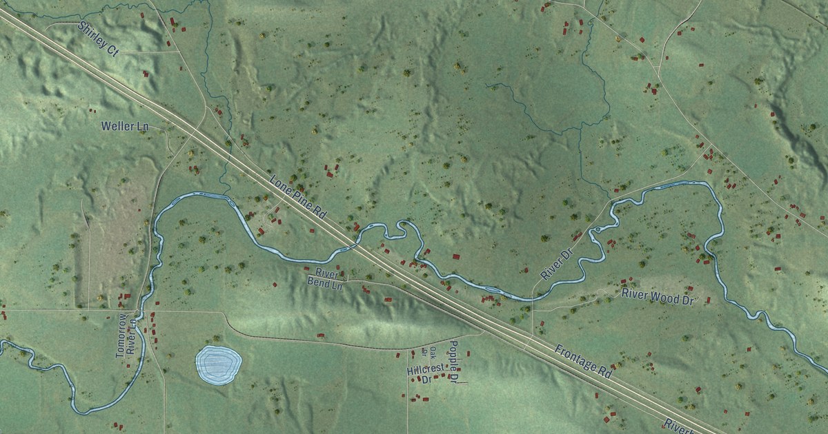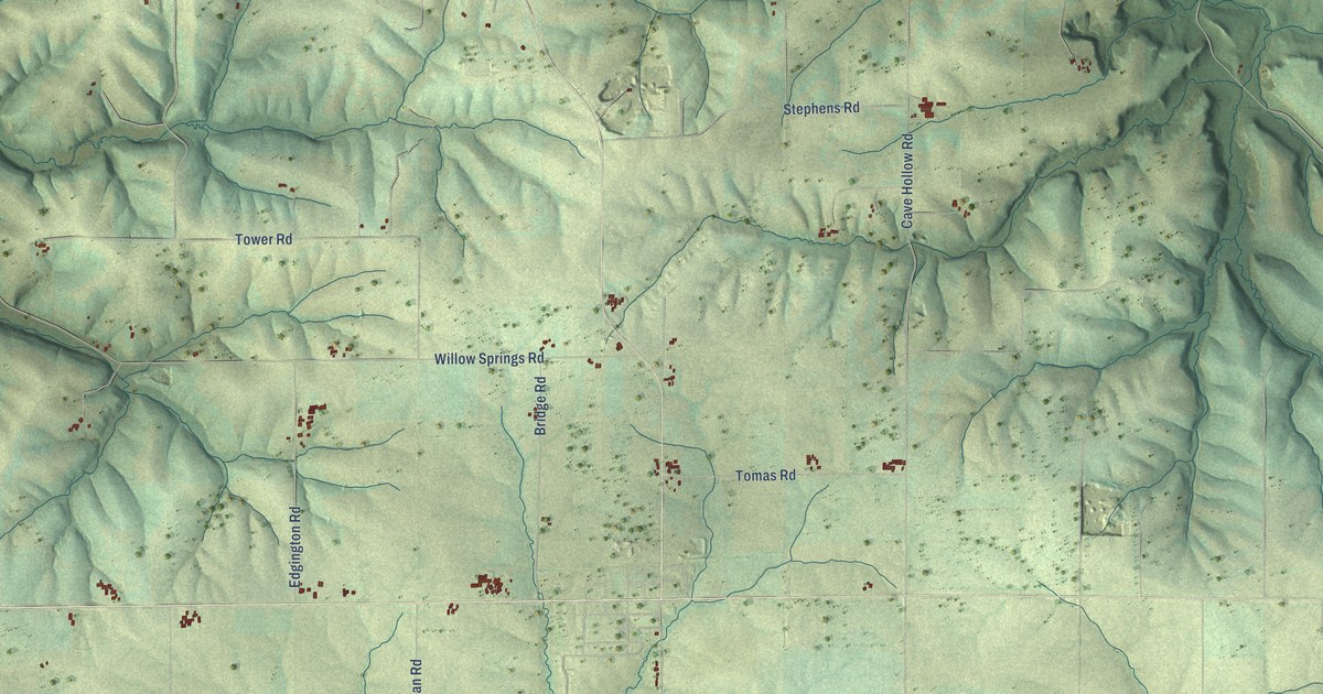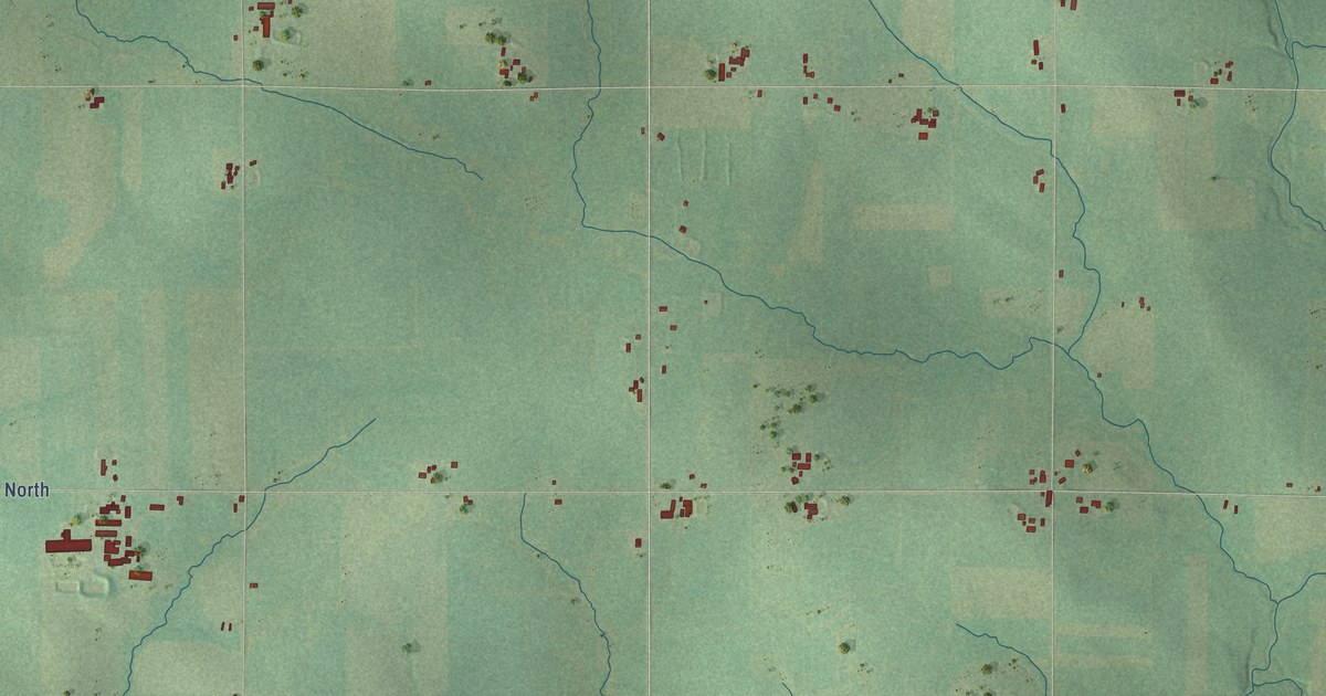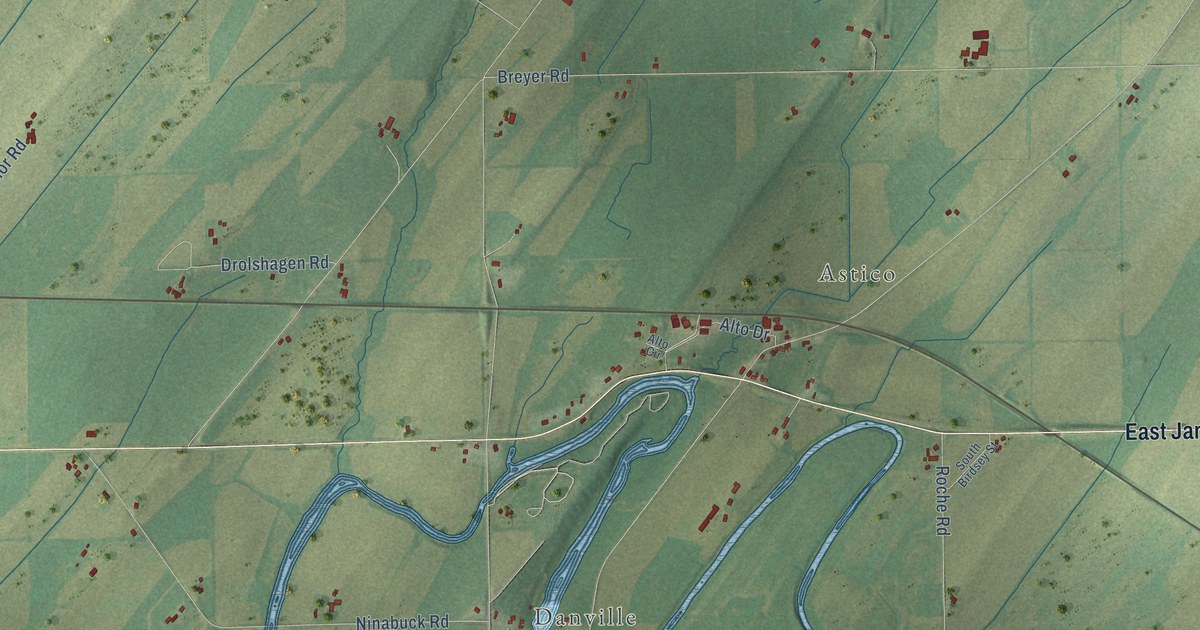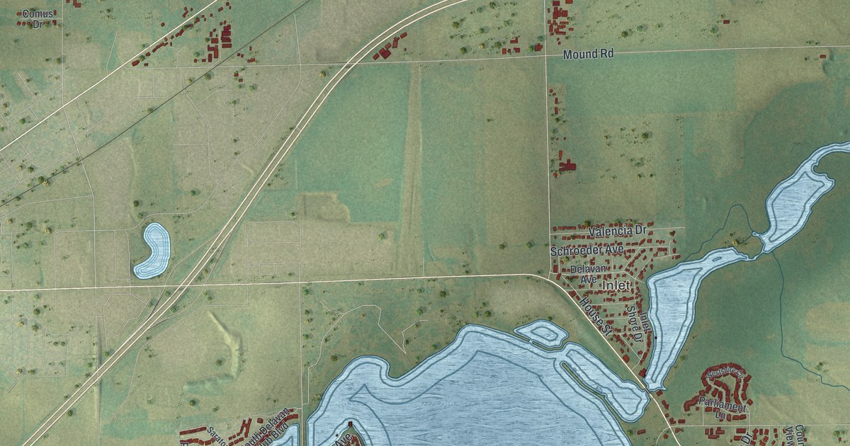
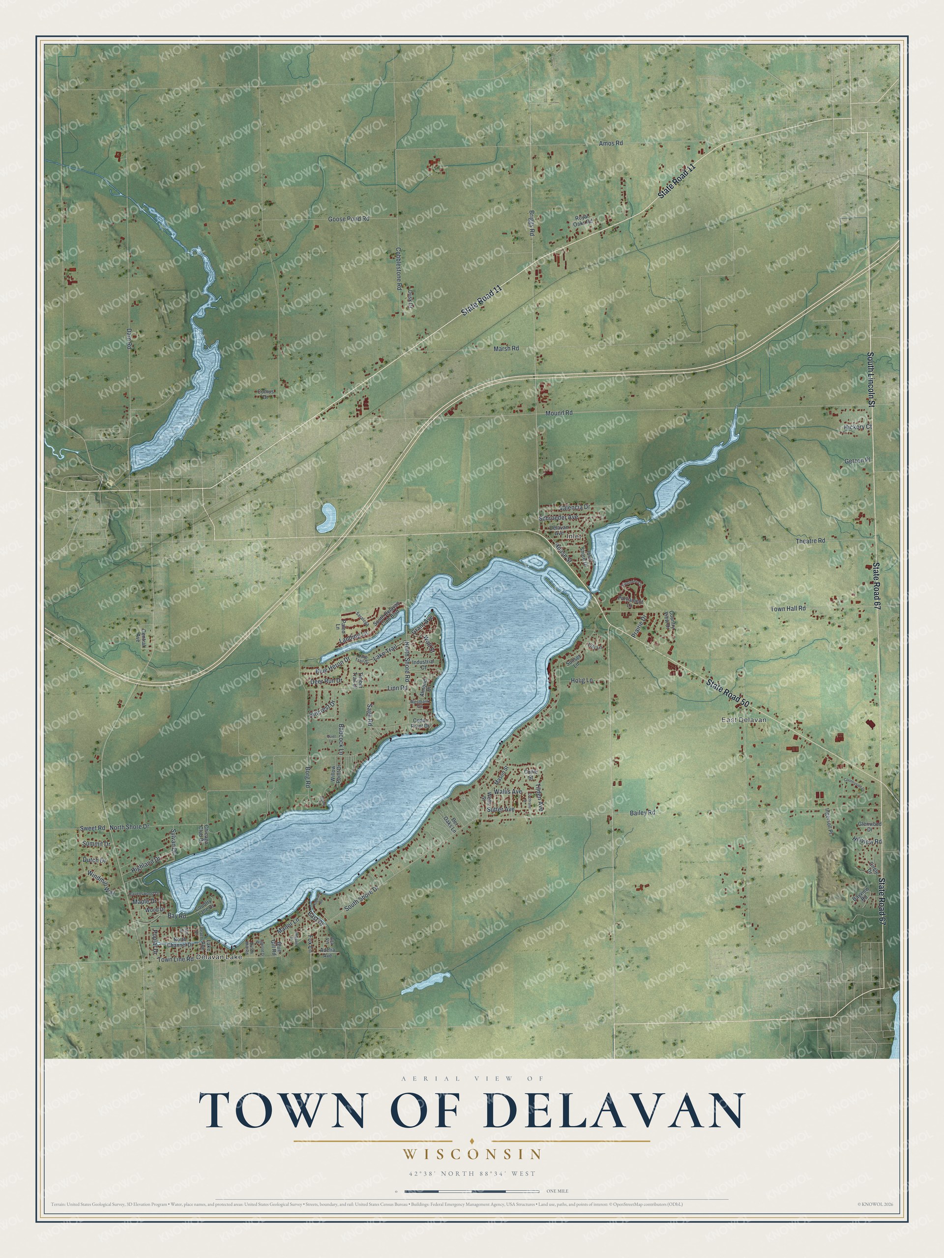
This beautifully detailed map of Delavan, Wisconsin was created in 2026 using aerial imagery combined with modern topographical, census, street and landmark data. It's a modern aerial view of Delavan in Walworth County, Wisconsin, that combines modern data with a vintage aesthetic. The roads feature printed names, and if you look closely you can find your exact house accurately shown in its correct location.
Explore an aerial view of Delavan, Wisconsin
On this map you'll find Delavan Lake, East Delavan, Inlet, State Road 67, State Road 11, South Lincoln Street, State Road 50, Grant Avenue, North Shore Road, Mound Road, Town Hall Road, South Shore Drive, and more. Each red shape is a building, so zoom in on the preview and look for yours.
Every town has a first chapter, and Delavan is no exception. The Historical Marker Database puts it this way: "Side B The system did not gain wide support until the Soviet Union exploded their first atomic bomb in August 1949."
Delavan is a town in Walworth County. The Census Bureau counted 5,273 people here in 2020.
Take a closer look at the Delavan map
Names on this map
These names are printed on this map.
Places: Delavan Lake, East Delavan and Inlet.
Streets and roads: State Road 67, State Road 11, South Lincoln Street, State Road 50, Grant Avenue, North Shore Road, Mound Road, Town Hall Road, South Shore Drive, Theatre Road, Marsh Road, Bailey Road.
More street names, A to Z
Adelia Avenue, Almond Drive, Alpine Lane, Alta Vis, Amos Road, Ash Street, Babcock Lane, Bay Road, Bayview Road, Beach Drive, Blue Gill Road, Blue Heron Drive, Borg Road, Briggs Road, Cedar Point Drive, Central Avenue, Chicago Club Drive, Circle Drive, Cobblestone Road, Cochrane Street, Collie Street, Comus Drive, Country Lane Drive, Countryside Lane, Country View Drive, Dam Road, Deer Run Drive, Delavan Avenue, Del Oaks Lane, Dusk Drive, Dutch Drive, Dutch Mill Road, East Drive, Fox Lane, Getzen Place, Glenwood Drive, Goose Pond Road, Hickory Court, Highland Drive, Hillcrest Drive, Hillview Road, Holig Lane, House Street, Industrial Court, Ingersoll Place, Inlet Shore Drive, Lake Avenue, Lake Trail, Lake Trail Drive, Landing Lane, Lily Lane, Linn Road, Manor Lane, Maple Drive, Mason Street, North Channel Drive, North Shore Drive, Paleo Lane, Parliament Lane, Pleasant Street, Poplar Drive, Prairie Drive, Quiet Lane, Ravenswood Drive, Robbins Road, Royal Oaks Road, Sage Road, Saratoga, Schroeder Avenue, South Delavan Club Boulevard, Summit Drive, Sunset Lane, Sutter Avenue, Sweet Road, Sylvan Drive, Tilden Avenue, Timber Trail Drive, Town Line Road, Valencia Drive, Wallis Avenue, Wall Street, Wells Street, Westbank Circle, Westshire Circle, Wildwood Drive, Willow Point Drive, Windmill Way, Wood Drive.
Created by KNOWOL in 2026. The buildings are small red shapes, the roads carry their printed names, and shaded relief shows the shape of the land. The title panel reads "AERIAL VIEW OF TOWN OF DELAVAN, WISCONSIN" with 42°38' NORTH 88°34' WEST.
Hang it in the hallway, the office or the cabin, or give it to someone who left Delavan and still calls it home. Open the preview and look for a street you know. See sizes and frames for the Town of Delavan map.