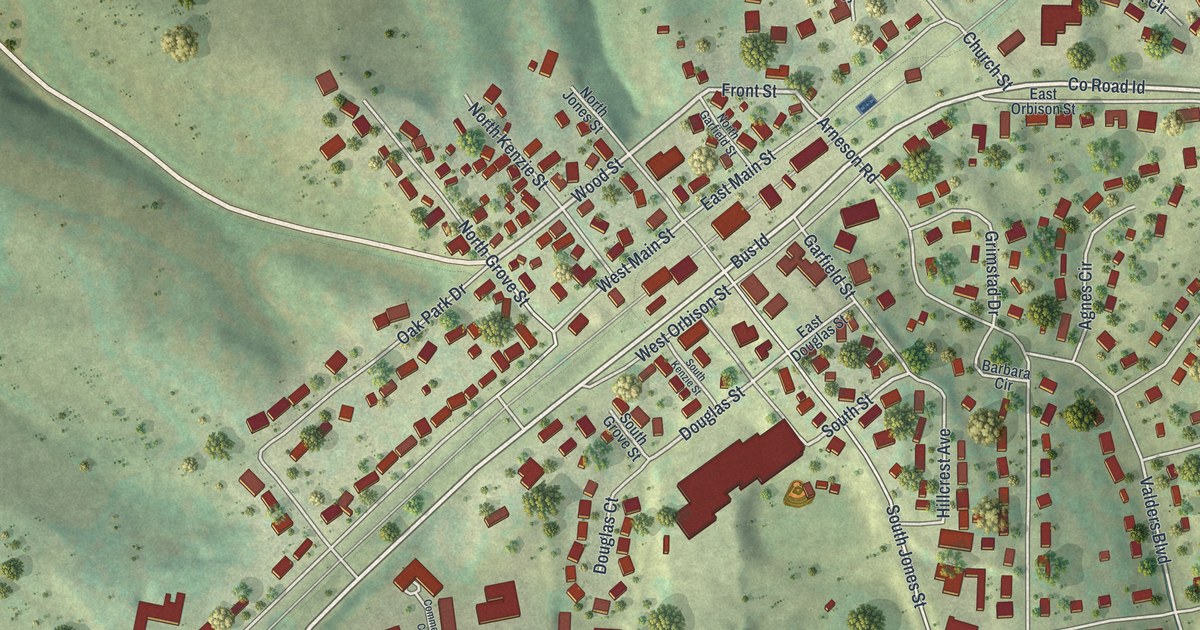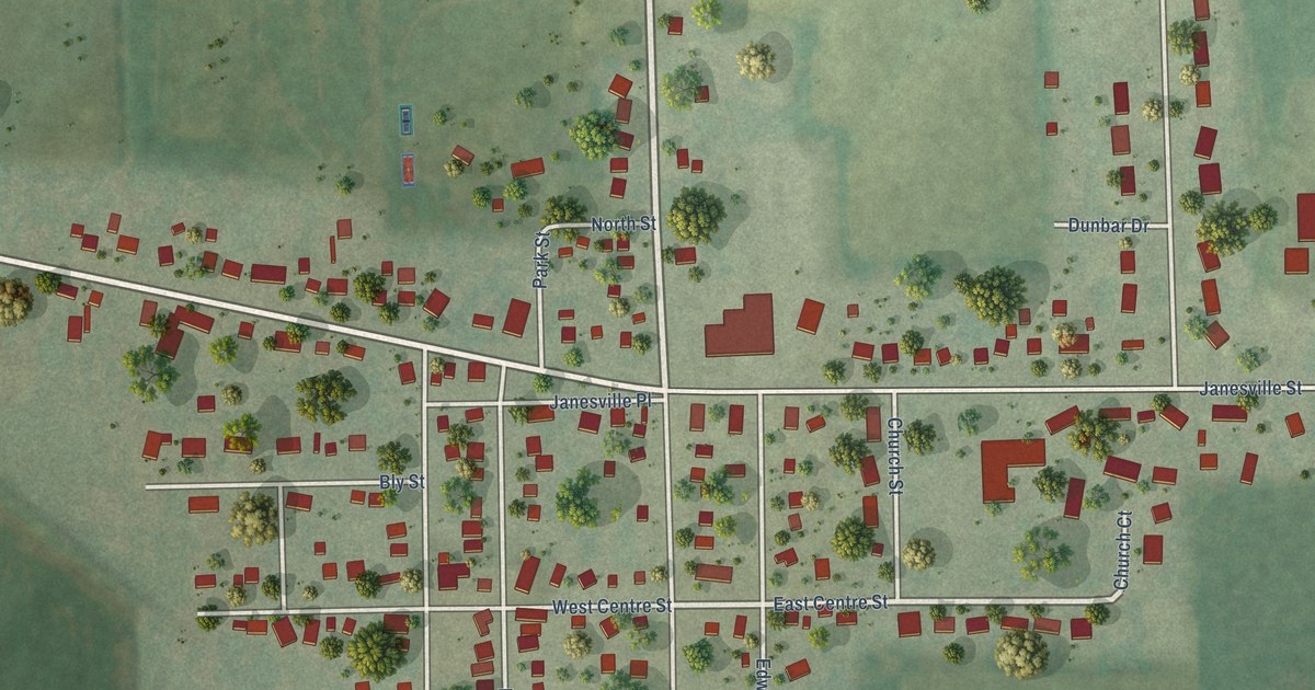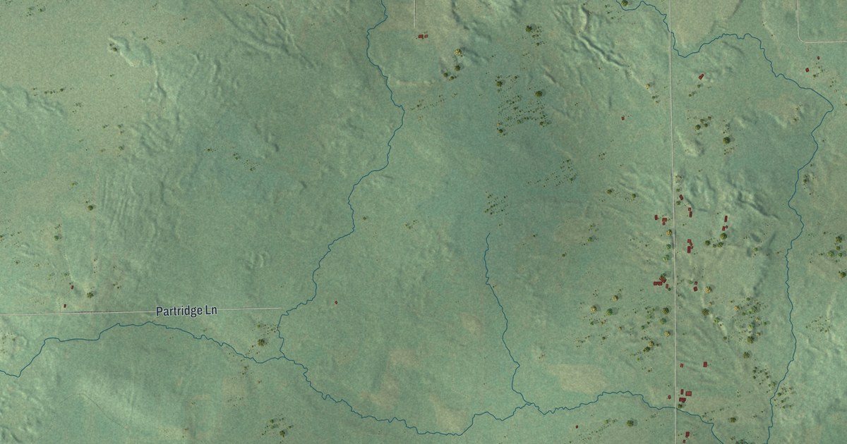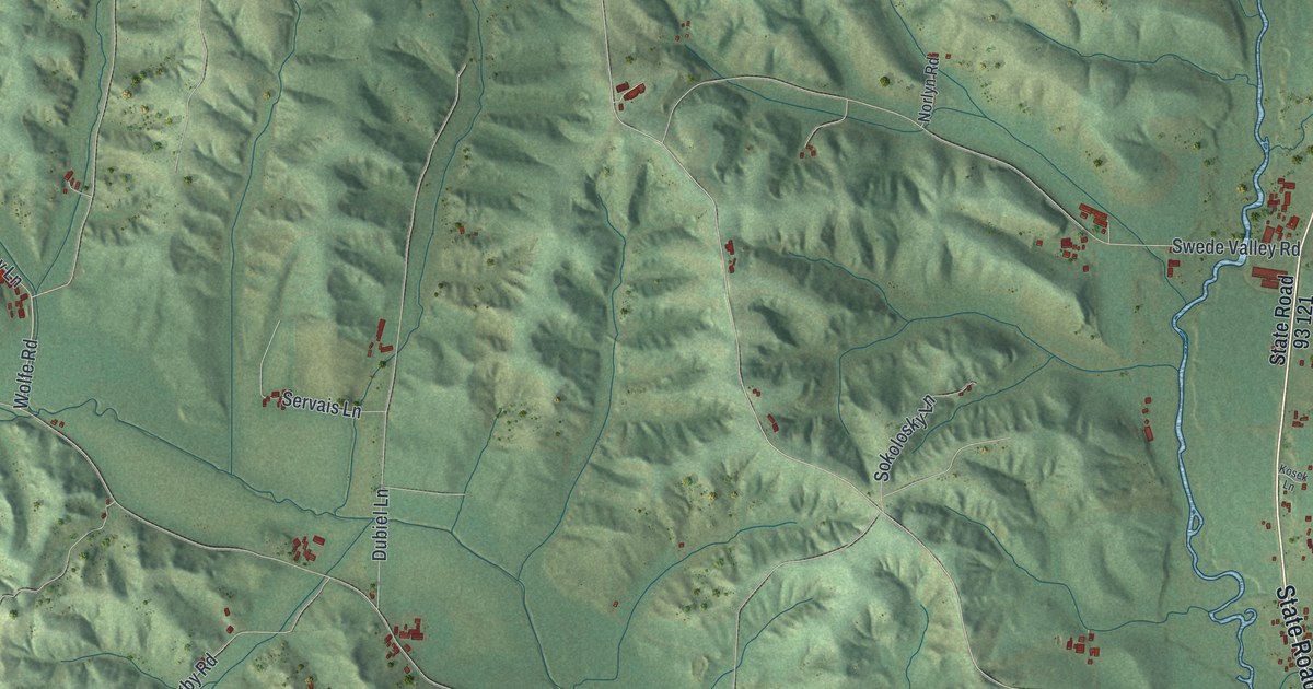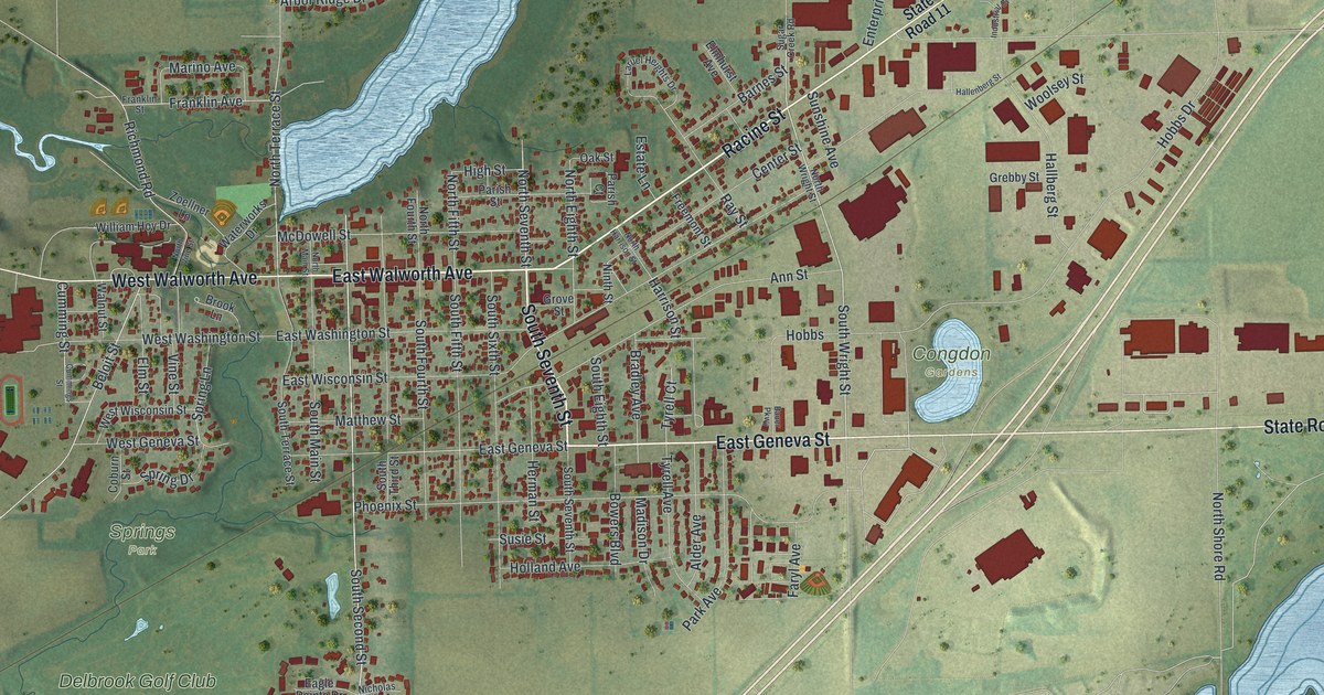
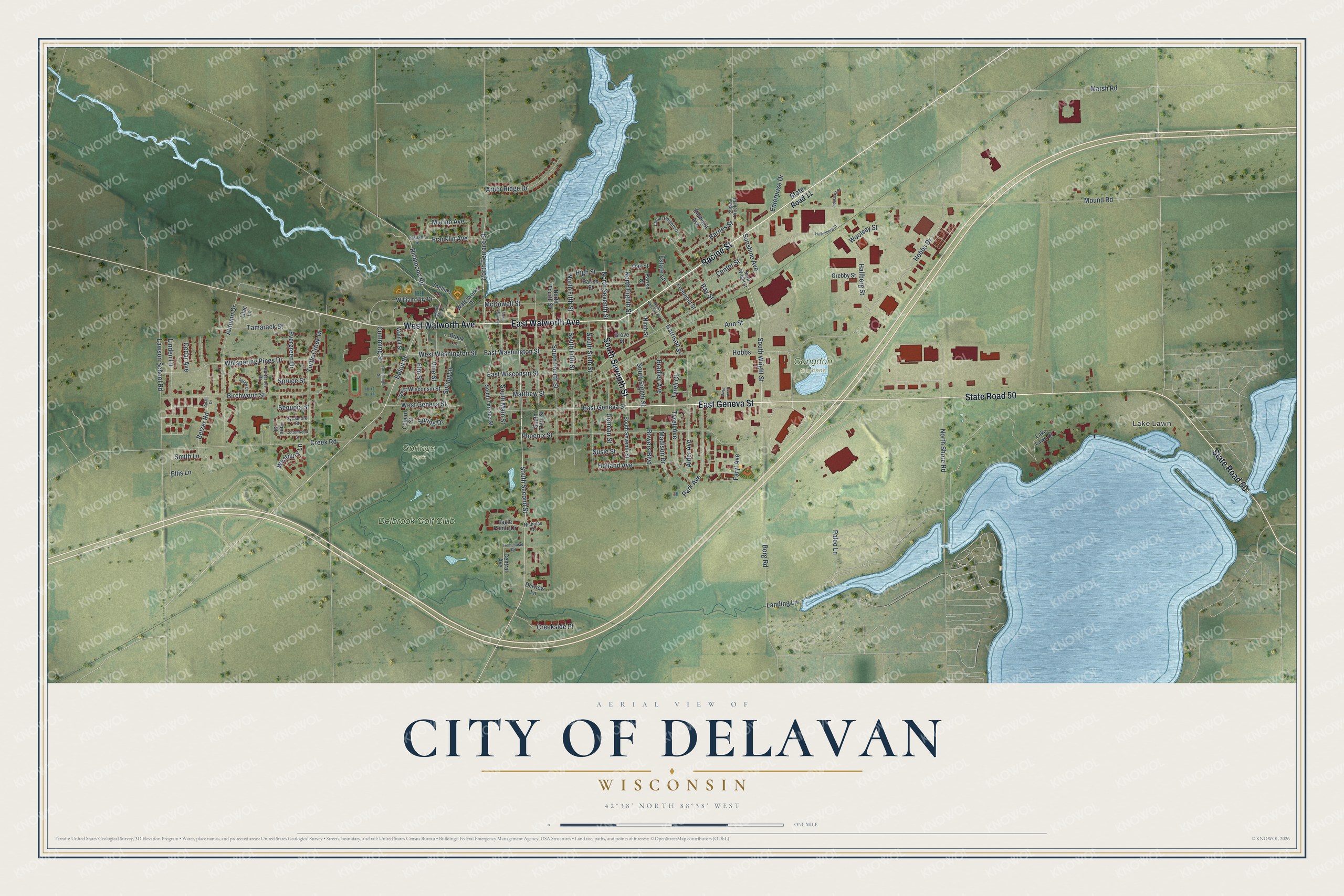
This beautifully detailed map of Delavan, Wisconsin was created in 2026 using aerial imagery combined with modern topographical, census, street and landmark data. It's a modern aerial view of Delavan in Walworth County, Wisconsin, that combines modern data with a vintage aesthetic. The roads feature printed names, and if you look closely you can find your exact house accurately shown in its correct location.
Explore an aerial view of Delavan, Wisconsin
On this map you'll find Lake Lawn, Congdon Gardens, Springs Park, Delbrook Golf Club, Racine Street, East Geneva Street, East Walworth Avenue, South Seventh Street, State Road 50, West Walworth Avenue, South Wright Street, South Second Street, and more. Each red shape is a building, so zoom in on the preview and look for yours.
Delavan has a story worth telling. The Historical Marker Database puts it this way: "The circus was conceived and organized in Delavan by William C. Coup and Dan Costello."
Delavan is a city in Walworth County. The Census Bureau counted 8,505 people here in 2020.
Take a closer look at the Delavan map
Names on this map
These names are printed on this map.
Places: Lake Lawn, Congdon Gardens, Springs Park and Delbrook Golf Club.
Streets and roads: Racine Street, East Geneva Street, East Walworth Avenue, South Seventh Street, State Road 50, West Walworth Avenue, South Wright Street, South Second Street, North Seventh Street, North Terrace Street, Richmond Road, Beloit Street.
More street names, A to Z
Alder Avenue, Ann Street, Arbor Ridge Drive, Aspen Court, Autumn Drive, Barnes Street, Bauer Parkway, Betzer Drive, Betzer Road, Birchwood Street, Borg Road, Bowers Boulevard, Bradley Avenue, Brook Lane, Butternut Drive, Cedar Avenue, Center Street, Central Avenue, Coburn Street, Cottonwood Street, Creek Road, Creekside Place, Cummings Street, Cumming Street, Delview Lane, Eagle Pointe Drive, East Washington Street, East Wisconsin Street, Ellis Lane, Elmhurst Avenue, Elm Street, Enterprise Drive, Estate Lane, Evergreen Drive, Faryl Avenue, Franklin Avenue, Franklin Street, Freemont Street, Grebby Street, Grove Street, Hallberg Street, Hallenberg Street, Harrison Street, Herman Street, High Street, Hobbs, Hobbs Drive, Holland Avenue, Homestead Road, Industrial Court, Lake Lawn Drive, Landing Lane, Laruel Heights Drive, Lawson School Road, Lilac Lane, Linden Lane, Madison Drive, Marino Avenue, Marsh Road, Matthew Street, McDowell Street, Mound Road, Nicholas Drive, Ninth Street, North Eighth Street, North Fifth Street, North Fourth Street, North Harrison Street, North Main Street, North Shore Road, North Vine Street, North Wright Street, Oak Street, Paleo Lane, Parish Court, Parish Street, Park Avenue, Phoenix Street, Pine Street, Ray Street, Sequoia Street, Smith Lane, South Eighth Street, South Fifth Street, South Fourth Street, South Main Street, South Sixth Street, South Terrace Street, South Third Street, Spring Drive, Spring Lane, Spruce Street, State Road 11, Sugar Creek Road, Sunshine Avenue, Susie Street, Sycamore Street, Tamarack Street, Turtle Creek Drive, Tyrell Avenue, Tyrell Court, Vine Street, Walnut Street, Waterworks Drive, Westbury Lane, West Geneva Street, West Washington Street, West Wisconsin Street, Whispering Pines Drive, William Hoy Drive, Woolsey Street, Zoellner Lane.
Created by KNOWOL in 2026. The buildings are small red shapes, the roads carry their printed names, and shaded relief shows the shape of the land. The title panel reads "AERIAL VIEW OF CITY OF DELAVAN, WISCONSIN" with 42°38' NORTH 88°38' WEST.
It looks right in a kitchen, an office or a den, and it's a gift for anyone who grew up in Delavan or moved away. Open the preview and find your street. See sizes and frames for the Delavan map.