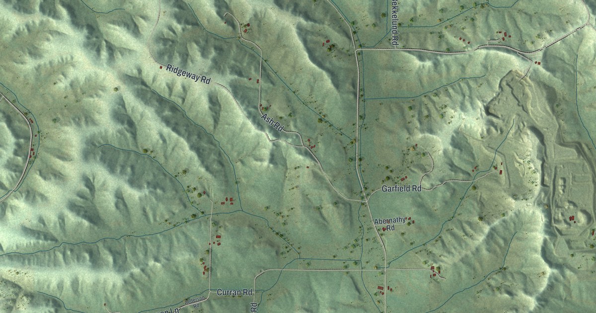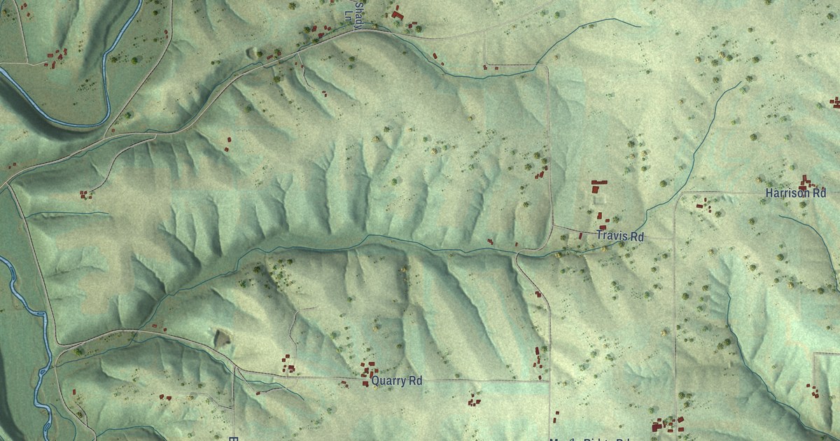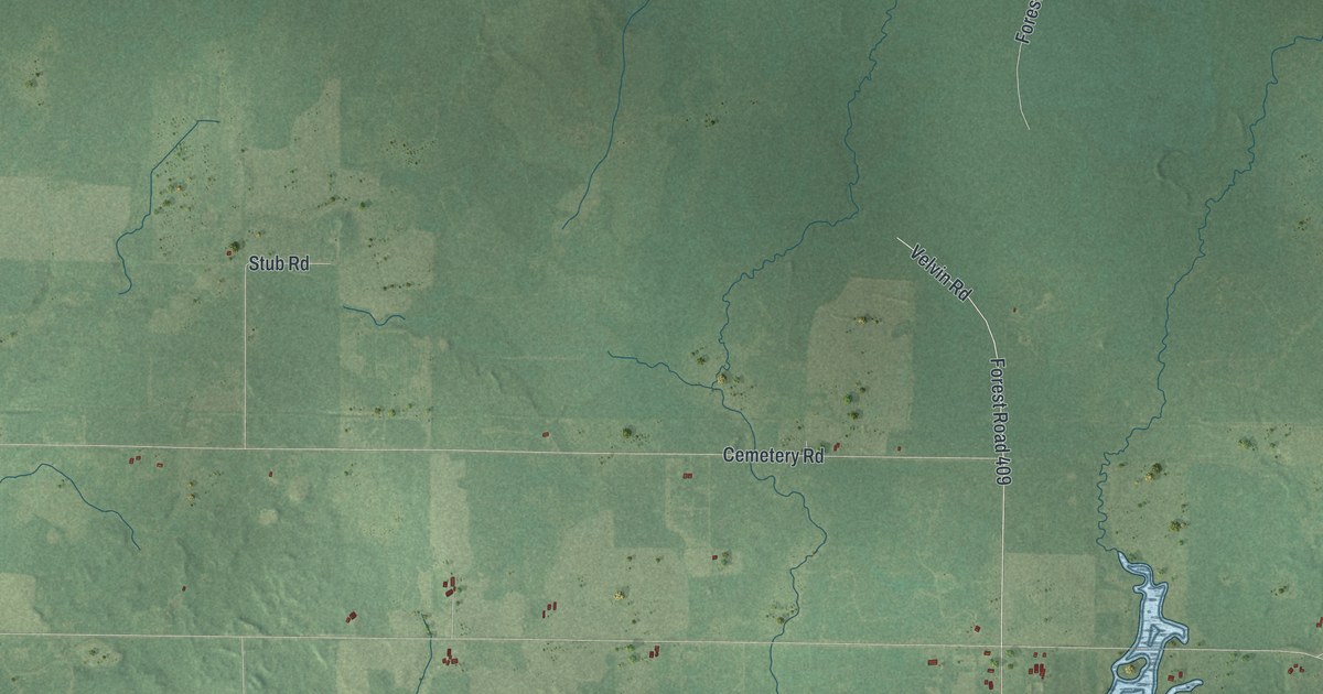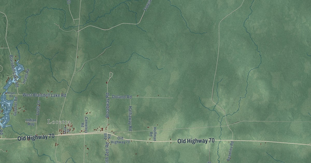
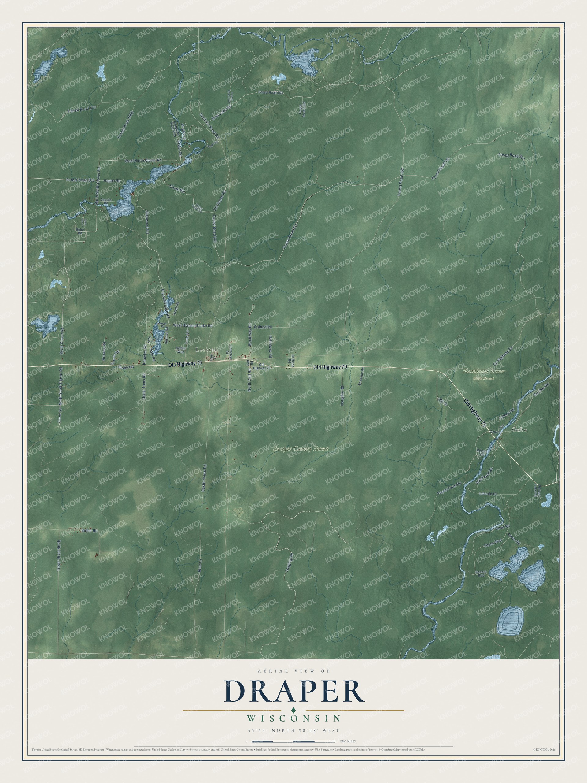
This beautifully detailed map of Draper, Wisconsin was created in 2026 using aerial imagery combined with modern topographical, census, street and landmark data. It's a modern aerial view of Draper in Sawyer County, Wisconsin, that combines modern data with a vintage aesthetic. The roads feature printed names, and if you look closely you can find your exact house accurately shown in its correct location.
Explore an aerial view of Draper, Wisconsin
On this map you'll find Oxbo, Loretta, Flambeau River State Forest, Sawyer County Forest, Old Highway 70, North Clover Road, Forest Road 308, North South Clover Road, West North Clover Road, Logging Road, Butler Road, West Blaisdell Lake Road, and more. Each red shape is a building, so zoom in on the preview and look for yours.
Draper is a town in Sawyer County. The Census Bureau counted 241 people here in 2020. The map prints the town name in its title panel, with the coordinates below it.
Take a closer look at the Draper map
Names on this map
These names are printed on this map.
Places: Oxbo, Loretta, Flambeau River State Forest and Sawyer County Forest.
Streets and roads: Old Highway 70, North Clover Road, Forest Road 308, North South Clover Road, West North Clover Road, Logging Road, Butler Road, West Blaisdell Lake Road, Knowles Road, Forest Road 172, Forest Road 162, Forest Road 311.
More street names, A to Z
Bear Lake Road, Bear Lane, Beaulieu Road, Blaisdell Lake Road, Boland Road, Broadway Road, Browns Road, Butor Road, Cemetery Road, Chippewa Pines Way, Cicak Road, Clover Spr, County Highway Ee, Dam Road, Dix Dox Road, Dog Patch Road, Doland Road, Doughty Road, Easterhouse Road, Feleen Road, Forest Road 161, Forest Road 163, Forest Road 307, Forest Road 620, Forest Road 621, Forest Road 1264, Forest Road 1633, Forest Road 1965, Geschel Road, Glenwood Road, Golob Road, Hagen Road, Hathaway Road, Heath Road, Hines Road, Hoffman Road, Hughs Lane, Indian Way, Letty Lane, Lincoln Drive, Luds Lane, Meyer Road, North County Road Gg, North North Clover Road, North Zett Road, Old 70, Old Grade Road, Oxbo Drive, Pardee Road, Payne Farm Road, Pelican Lake Road, River Road, Saecks Road, Sign, Snooze Boulevard, Snuss Boulevard, Stone Gate Lane, Third Street, Tower Road, Tower Road North, Turner Road, Uncle Toms Road, Zett Road.
Created by KNOWOL in 2026. The buildings are small red shapes, the roads carry their printed names, and shaded relief shows the shape of the land. The title panel reads "AERIAL VIEW OF DRAPER, WISCONSIN" with 45°54' NORTH 90°48' WEST.
Hang it in the hallway, the office or the cabin, or give it to someone who left Draper and still calls it home. Open the preview and look for a street you know. See sizes and frames for the Draper map.