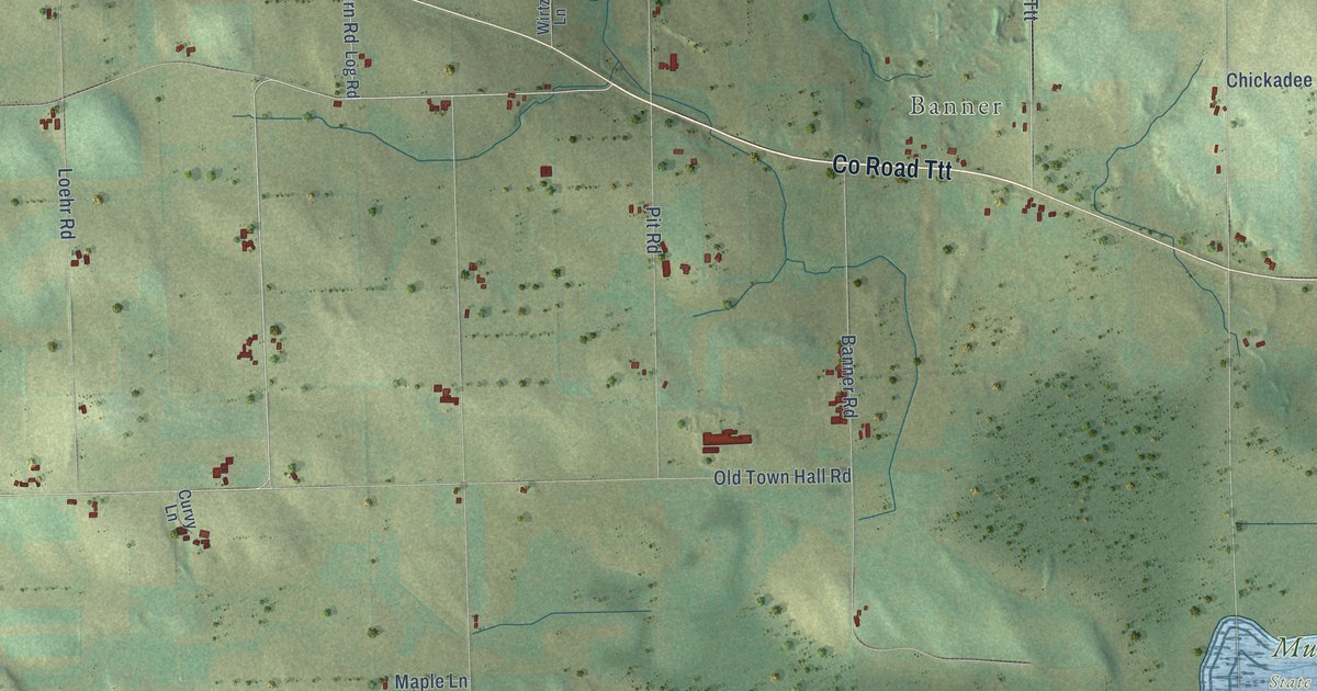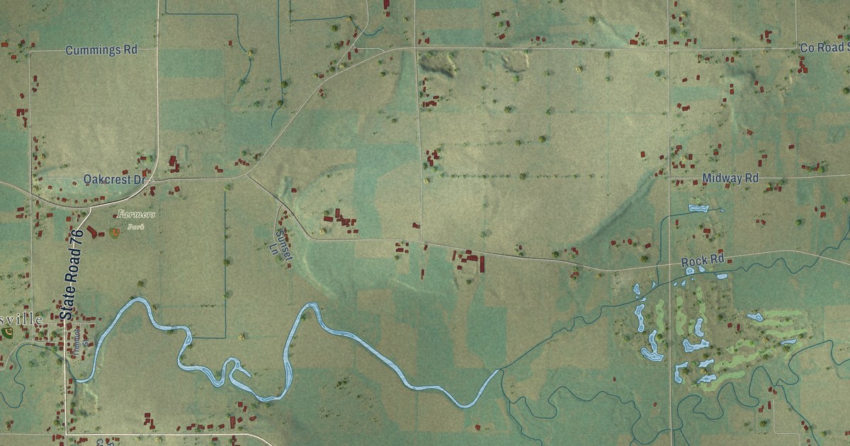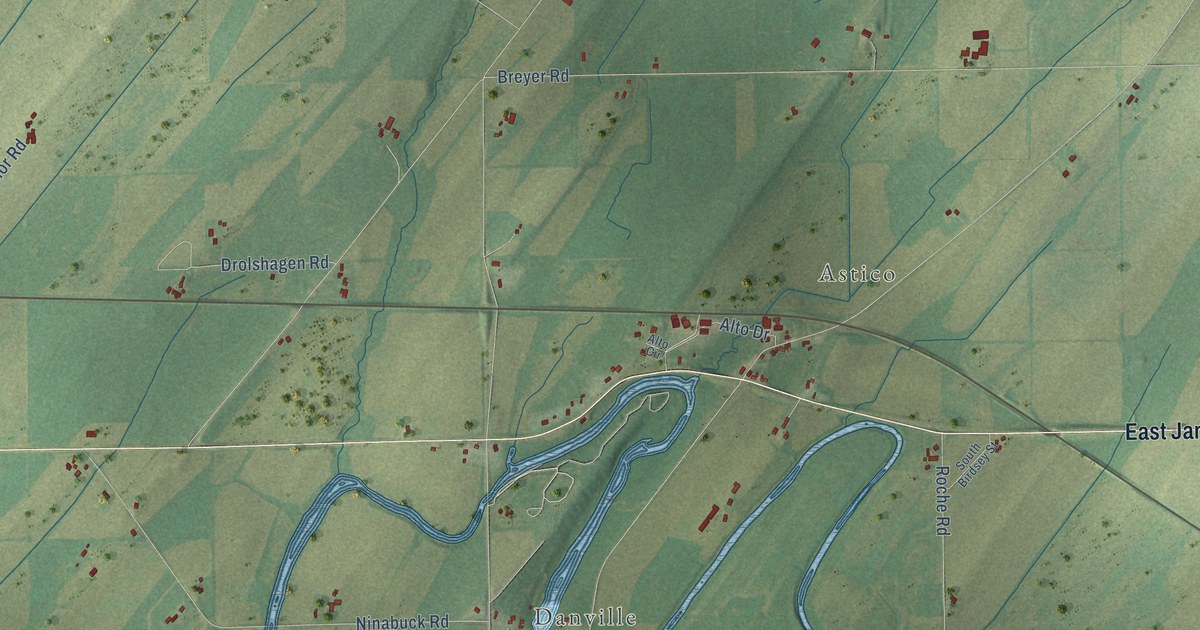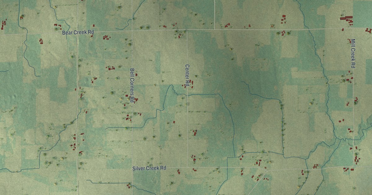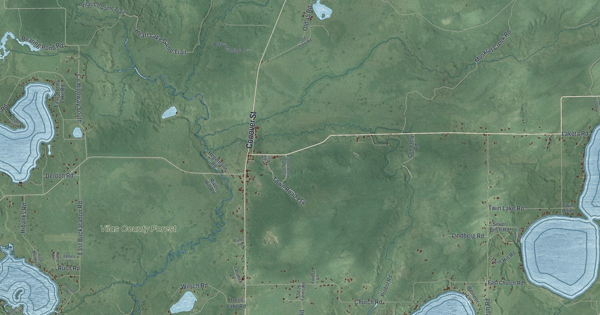
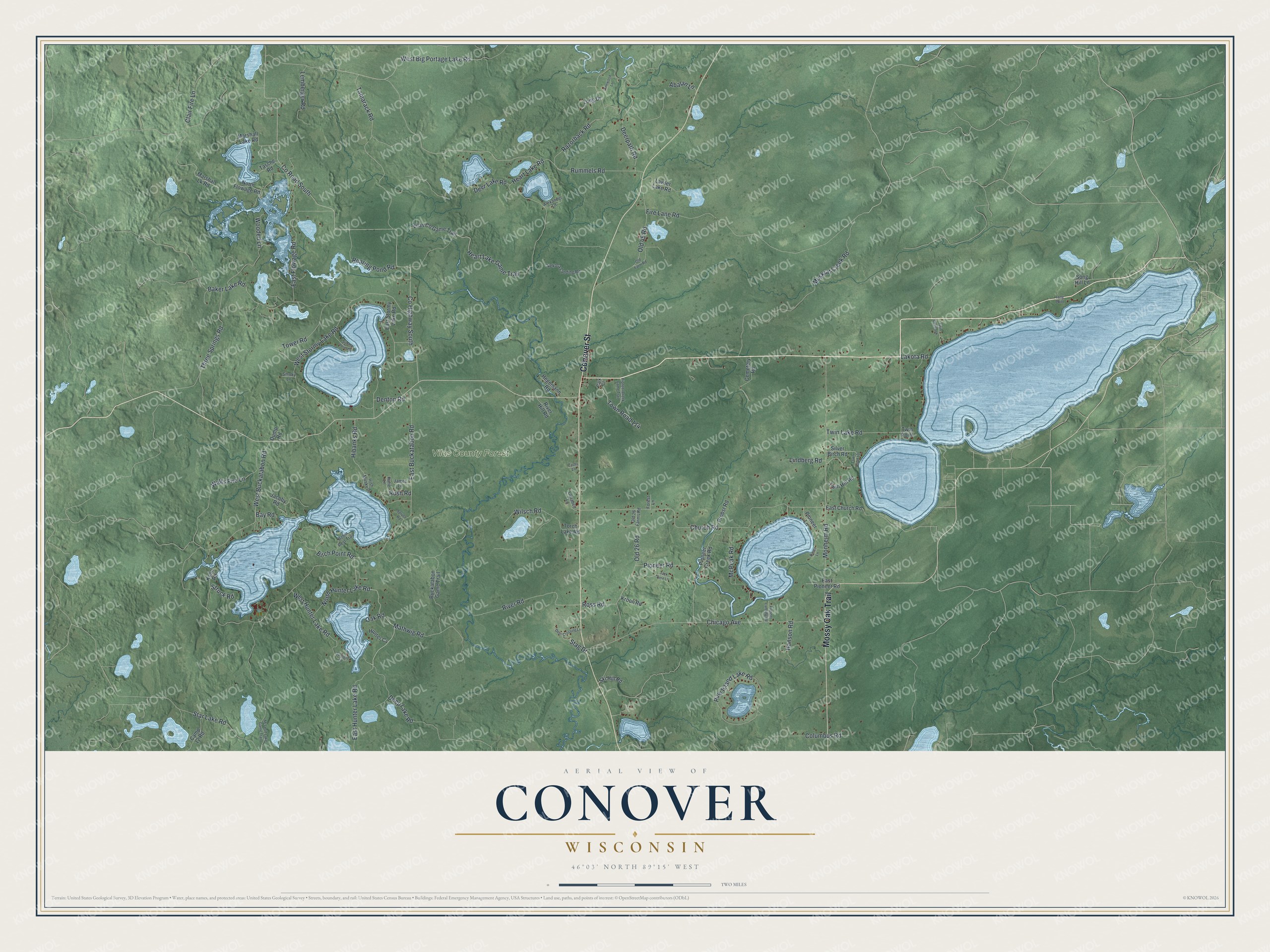
This beautifully detailed map of Conover, Wisconsin was created in 2026 using aerial imagery combined with modern topographical, census, street and landmark data. It's a modern aerial view of Conover in Vilas County, Wisconsin, that combines modern data with a vintage aesthetic. The roads feature printed names, and if you look closely you can find your exact house accurately shown in its correct location.
Explore an aerial view of Conover, Wisconsin
On this map you'll find Vilas County Forest, Conover Street, Mossy Oak Trail, Town Road 114, East Hunter Lake Road, West Big Portage Lake Road, Denton Road, East Buckatabon Road, Co Highway South, Co Road South, Rummels Road, Church Road, and more. Each red shape is a building, so zoom in on the preview and look for yours.
Conover is a town in Vilas County. The Census Bureau counted 1,318 people here in 2020. The map prints the town name in its title panel, with the coordinates below it.
Take a closer look at the Conover map
Names on this map
These names are printed on this map.
Places: Vilas County Forest.
Streets and roads: Conover Street, Mossy Oak Trail, Town Road 114, East Hunter Lake Road, West Big Portage Lake Road, Denton Road, East Buckatabon Road, County Highway South, County Road South, Rummels Road, Church Road, Baker Lake Road.
More street names, A to Z
Abalan Lane, Alexander Lane, Bauer Lane, Bay Road, Birch Point Road, Buckatabon Game Trail, Camp 12 Road, Cemetery Road, Chicago Avenue, Clair Fire Lane, Columbus Road, Deep Lake Road, Deer Crossing Lane, Deer Lake Road, Deerpath Road, Dump Road, East Church Road, East Flowage Road, East Pioneer Road, East Stormy Lake Road, Fire Lane Road, Forest Lane, Hanson Road, Heart Lake Game Trail, Heart Lake Road, Hegemann Road, Hibanks Road, Hunter Cv, Irish Musky Drive, Jack Pine Lane, Jacoby Road, James Lane, Katie Lane, Kohn Road, Kroon Road, Lakota Road, Larrabee Lane, Lawler Lake Road, Lemberger Road, Lindberg Road, Long Drive, Long Point, Marshal Lk Road, Marshall Lake Road, Mathwig Road, McLeod Lake Game Trail, McPeak Road, Monheim Road, Muskrat Creek Road, Nekosa Landing Road, North Flowage Road, North Hunter Lake Road, Oak Road, Old 26 Farms Road, Old 26 Road, Old 45 Road, Old Farm Road, Park Court, Pine Island Lake Road, Pinewood Lane, Pioneer Creek Game Trail, Pioneer Creek Road, Pioneer Landing Road, Pioneer Lane, Pioneer Road, Probst Road, Razorback Road, Rearing Pond Road, River Hill Road, River Road, Robin Rest Trail, Ross Road, Rush Road, Silver Birch Road, Ski Hill Road, Smoky Lane, Song Hill Lane, Spruce Road, Stag Drive, Star Lake Road, Stormy Point Road, Struck Road, Sunlight Lane, Tamarack Road, Tasche Road, Three Springs Road, Torch Lake Road, Tower Road, Town Road 107, Twin Hill Road, Twin Lake Road, Twin Overlook, Twin Point, Vilas Co Game Trail, Walts Fire Lane, West Buckatabon Road, West Hunter Lake Road, West Stormy Lake Road, Wilsch Road, Wooded Lane, Zachs Lane.
Created by KNOWOL in 2026. The buildings are small red shapes, the roads carry their printed names, and shaded relief shows the shape of the land. The title panel reads "AERIAL VIEW OF CONOVER, WISCONSIN" with 46°03' NORTH 89°15' WEST.
Hang it in the hallway, the office or the cabin, or give it to someone who left Conover and still calls it home. Open the preview and look for a street you know. See sizes and frames for the Conover map.