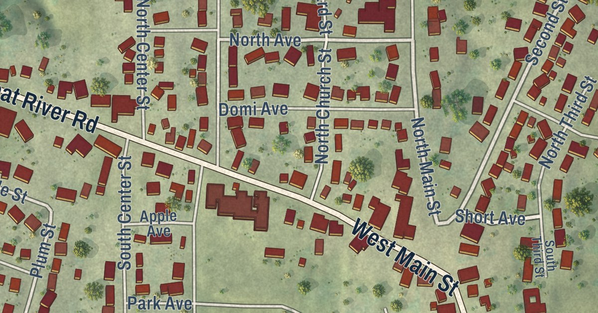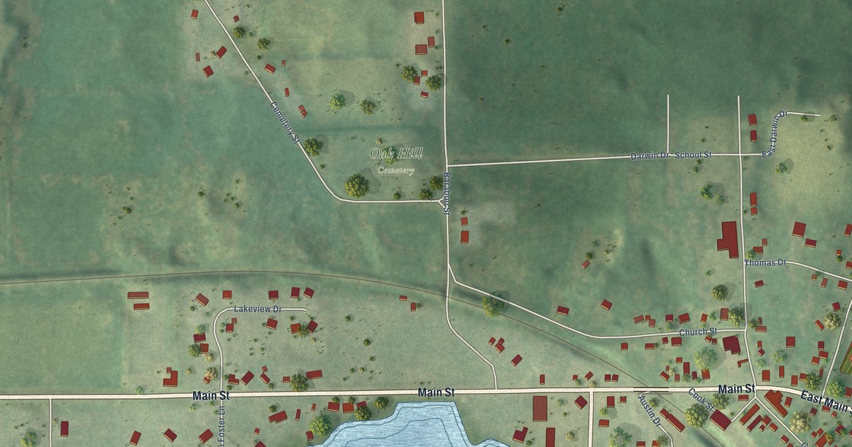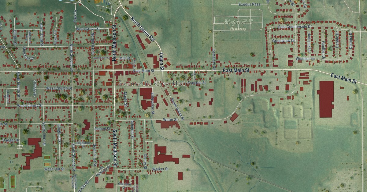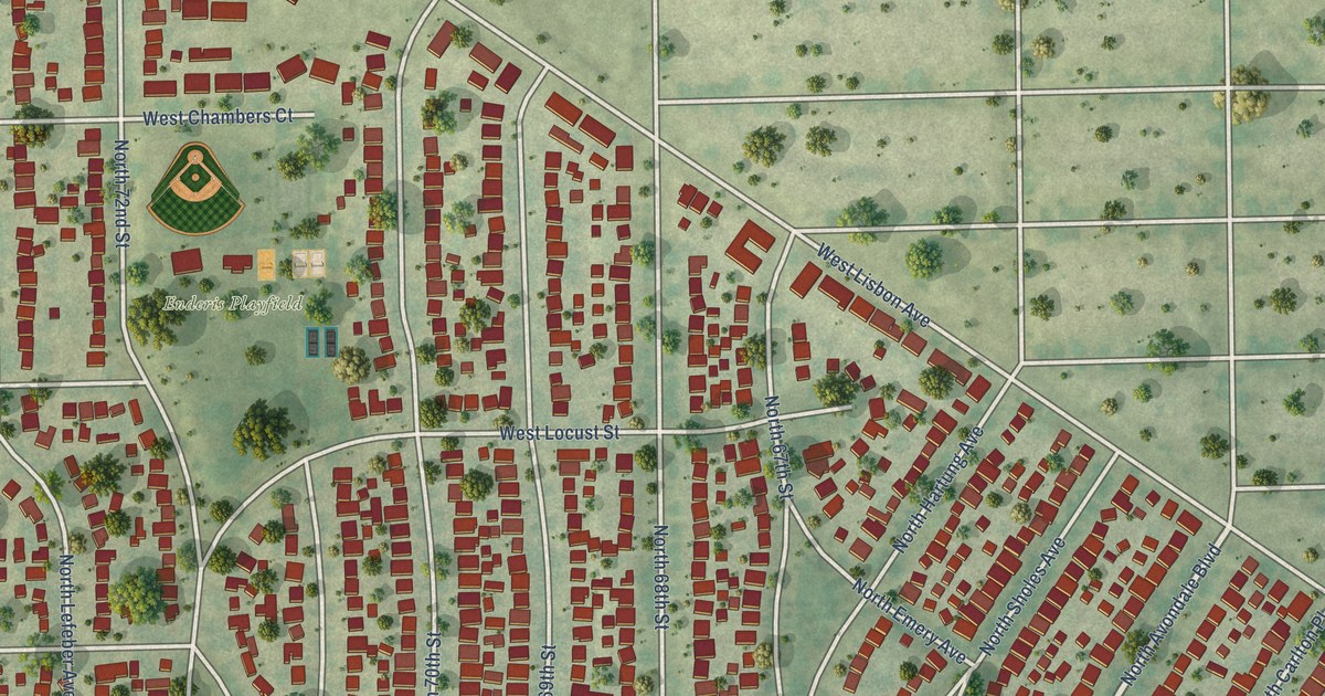
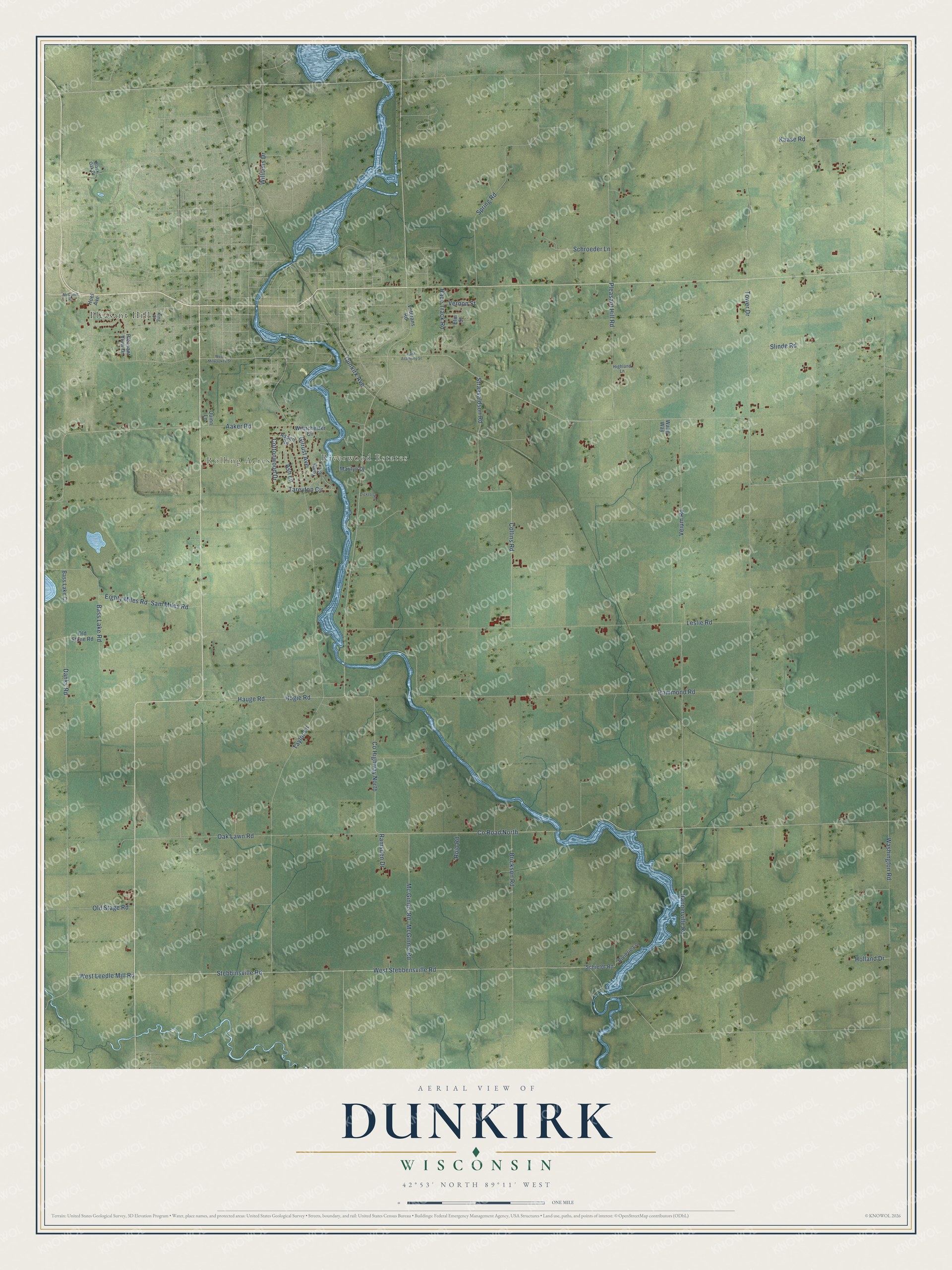
This beautifully detailed map of Dunkirk, Wisconsin was created in 2026 using aerial imagery combined with modern topographical, census, street and landmark data. It’s a one-of-a-kind view of Dunkirk that combines accurate data with a vintage aesthetic. The map shows every building in its true location, many of the roads carry their names, and the shaded topographic relief shows the shape of the land.
Explore an aerial view of Dunkirk, Wisconsin
On the map you’ll find Rolling Acres, Riverwood Estates, and Pleasant Hill, along with County Highway North, West Leedle Mill Road, Dunkirk Avenue, Tower Drive, Holland Drive, Washington Road, Hammond Road, Taylor Lane, and more. If you look closely you can even find your house accurately drawn in its correct location. Zoom in on the preview to look for yours.
Did you know this piece of Dunkirk, Wisconsin history?
From the Town of Dunkirk: "Dunkirk settlers came initially in two waves during 1843. A group of Norwegians led by John Nelson Luraas settled the northern part of the town."
Take a closer look at the Dunkirk map
Street and place names on the Dunkirk, Wisconsin map
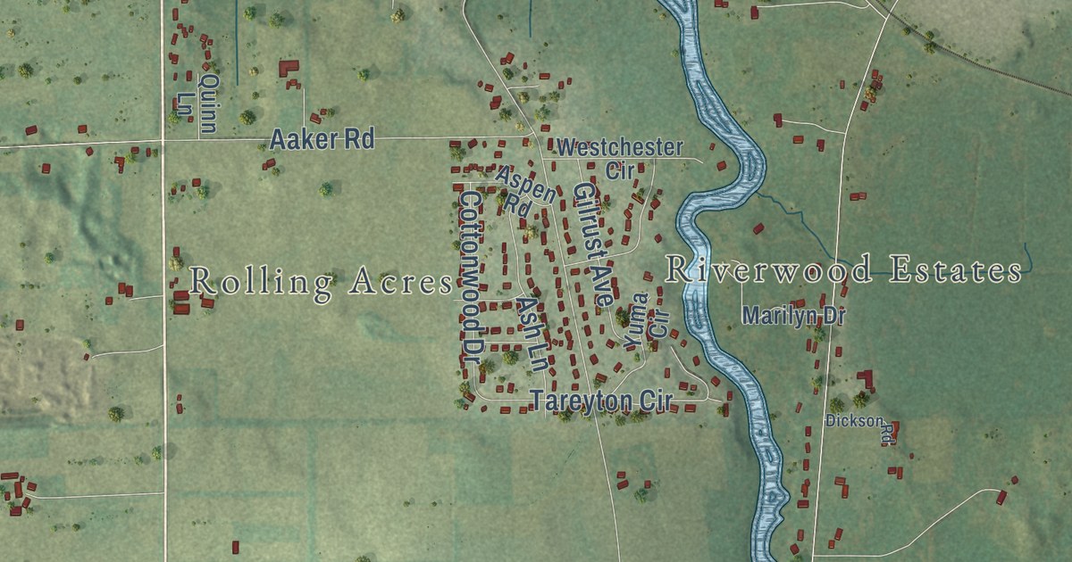
These names are printed on the map of Dunkirk, Wisconsin.
Places: Rolling Acres, Riverwood Estates and Pleasant Hill.
Streets and roads: County Highway North, County Road North, West Leedle Mill Road, Dunkirk Avenue, Tower Drive, Holland Drive, Washington Road, Hammond Road, Taylor Lane, Stebbinsville Road, West Stebbensville Road, Leslie Road.
More street names, A to Z
Aaker Road, Ash Lane, Aspen Road, Bass Lake Court, Bass Lake Road, Black Oak Drive, Brickson Road, Collins Road, Cottonwood Drive, Danks Road, Dickson Road, East Academy Street, Eighty Miles Road, Elm Street, Gilrust Avenue, Hannerville Road, Hauge Road, Highland Lane, Hoel Avenue, Hogie Road, Kaase Road, King Street, Marilyn Drive, McComb Road, Mc Ginnis Road, McGinnis Road, Oak Lawn Road, Old Stage Road, Old Stone Road, Pleasant Hill Road, Pleasant View Drive, Quinn Lane, Race Track Road, Ramsden Drive, Rivierie Lane, Rojo Road, Sam Miles Road, Schieldt Road, Schroeder Lane, Slinde Road, Spring Road, Straavaldson Road, Tareyton Circle, Veium Road, Vernon Street, Veterans Road, Waag Way, Westchester Circle, West Milwaukee Street, Williams Drive, Yuma Circle.
See the Dunkirk, Wisconsin map on a wall
The Dunkirk map as an 18 x 24 inch print in a black frame.

This beautifully detailed map of Dunkirk makes an attractive addition to your office, library, or den, and it can even be used to teach children the geography and history of the area. It also makes a great gift for anyone with Dunkirk roots. When you’re done exploring, click here to get your copy of the Dunkirk map.