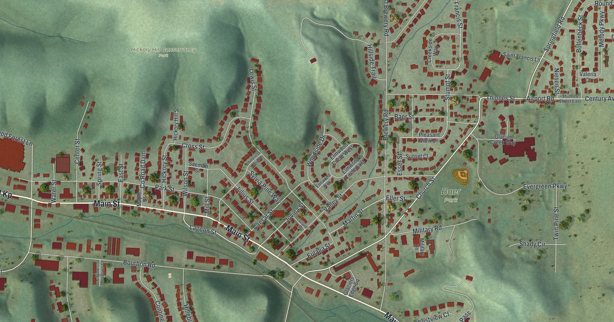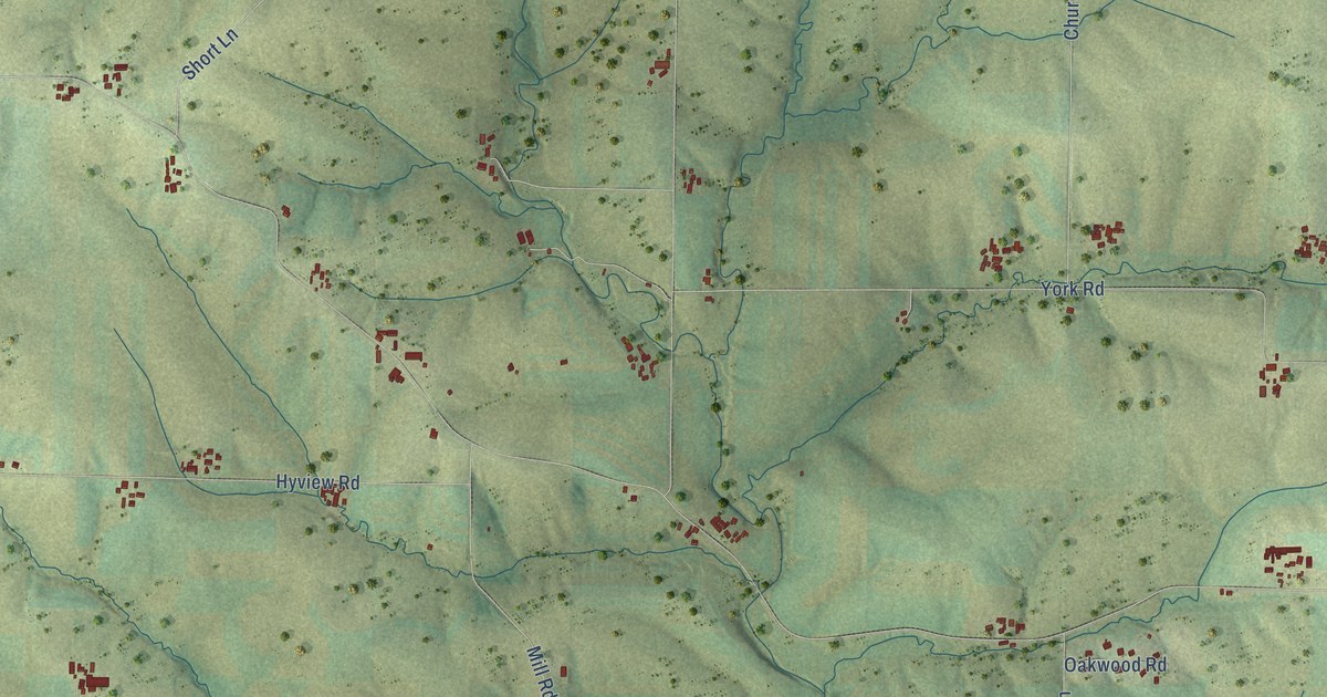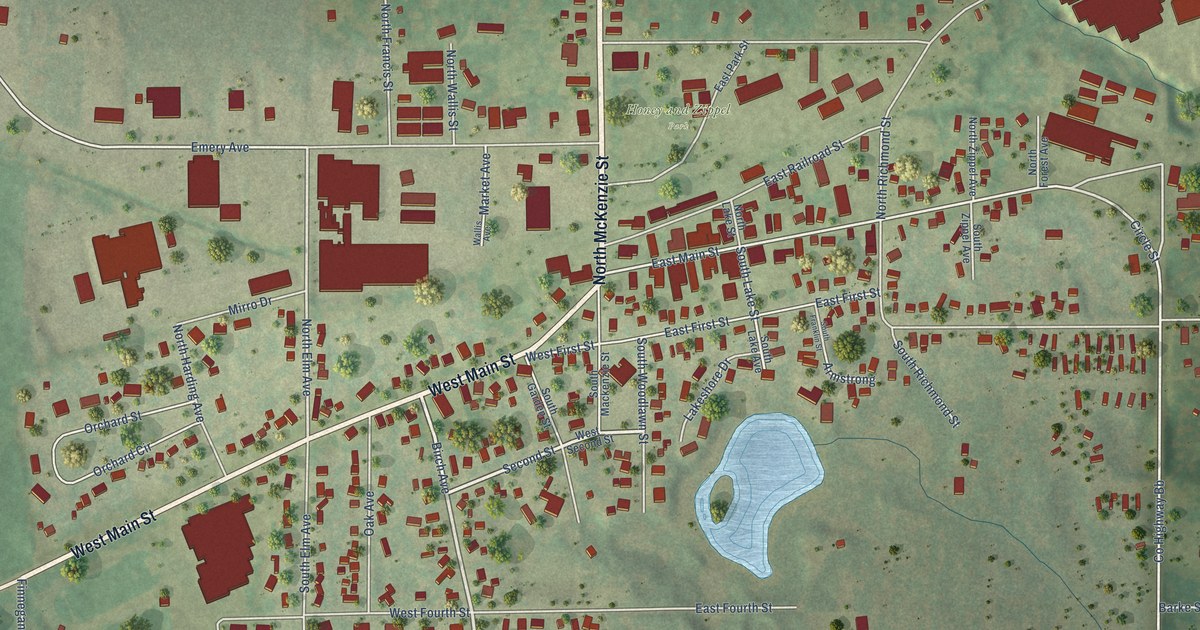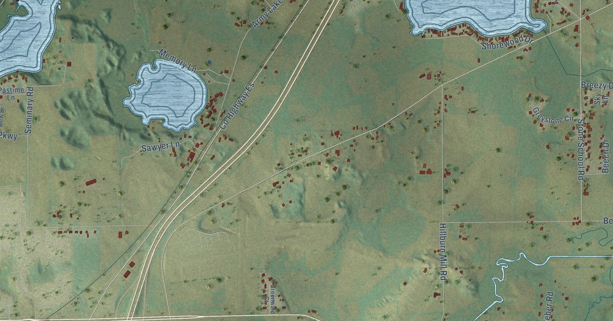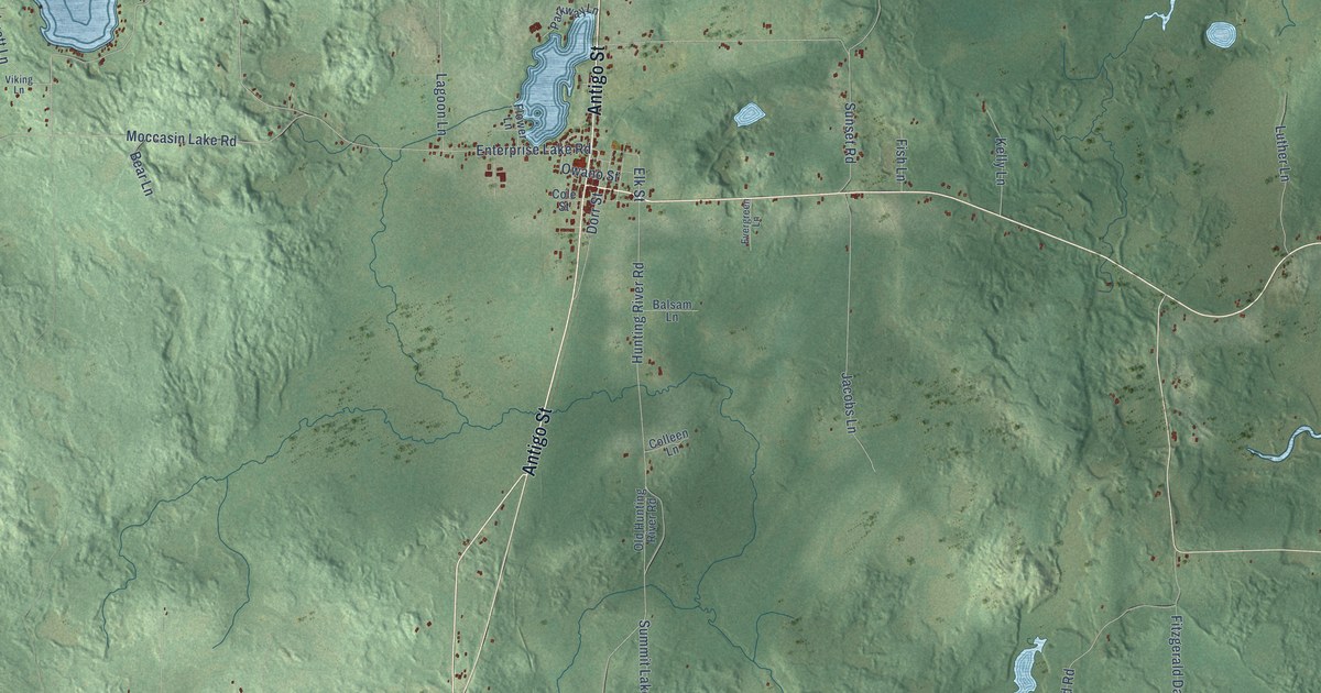
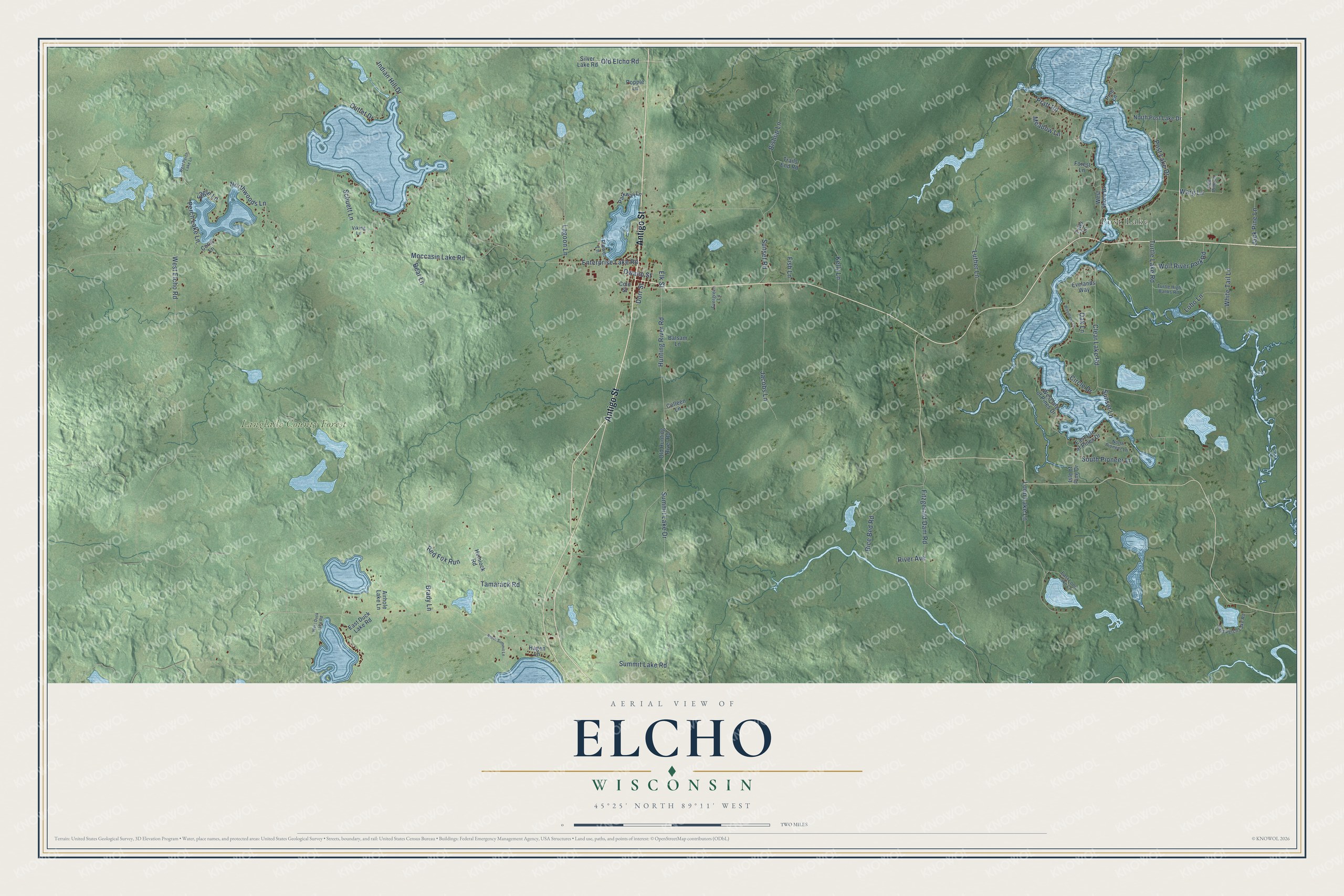
This beautifully detailed map of Elcho, Wisconsin was created in 2026 using aerial imagery combined with modern topographical, census, street and landmark data. It's a modern aerial view of Elcho in Langlade County, Wisconsin, that combines modern data with a vintage aesthetic. The roads feature printed names, and if you look closely you can find your exact house accurately shown in its correct location.
Explore an aerial view of Elcho, Wisconsin
On this map you'll find Post Lake, Langlade County Forest, Antigo Street, Old Elcho Road, Elk Street, Enterprise Lake Road, West Elcho Road, Moccasin Lake Road, Hunting River Road, Clear Lake Road, Fitzgerald Dam Road, Pratt Road, and more. Each red shape is a building, so zoom in on the preview and look for yours.
Every town has a first chapter, and Elcho is no exception. The History of Langlade County puts it this way: "Elcho's first general store was opened in 1886 by Thorwald Solberg, a Norwegian, who had, before then, lived a short time, on a homestead in Antigo township. This storekeeper was also the first postmaster of Elcho."
Elcho is a town in Langlade County. The Census Bureau counted 1,168 people here in 2020.
Take a closer look at the Elcho map
Names on this map
These names are printed on this map.
Places: Post Lake and Langlade County Forest.
Streets and roads: Antigo Street, Old Elcho Road, Elk Street, Enterprise Lake Road, West Elcho Road, Moccasin Lake Road, Hunting River Road, Clear Lake Road, Fitzgerald Dam Road, Pratt Road, Sunset Road, Summit Lake Drive.
More street names, A to Z
Airhole Lake Lane, Balsam Lane, Bear Lane, Bishop Lane, Brady Lane, Circle Drive, Cole Street, Colleen Lane, Corey Lane, Dorr Street, Eagle Lane, East Duck Lake Road, East Isle of Pines Drive, East Loon Lake Lane, East Perch Lake Road, Evelands Way, Evergreen Lane, Fish Lane, Flower Lane, Forest Lane, Hagen Lane, Hemlock Road, Indian Hill Drive, Isle of Pine Drive, Jack Pine Lane, Jacobs Lane, Kelly Lane, Lagoon Lane, Lobo Lane, Loon Lake Lane, Luther Lane, Meadow Lane, North Pioneer Lane, North Post Lake Drive, North Summit Lane, Northwoods Lane, Oak Lane, Old Hunting River Road, Outlet Drive, Owano Street, Parkway Lane, Perch Lake Lane, Pine Lane, Popple Lane, Post Lake Drive, Red Fox Run, Red Pine Lane, Rice Bed Road, River Avenue, Schuett Lane, Silver Lake Road, South Pioneer Lane, Summit Lake Road, Sunset Lane, Tamarack Road, Trails End Road, Turtle High Banks Road, Turtle Lake Road, Tyler Lane, Viking Lane, Warg Lane, West Duck Lake Road, West Isle of Pines Drive, West Perch Lake Lane, West Shore Drive, White Tail Lane, Wolf River Park Road, Woodland Lane.
Created by KNOWOL in 2026. The buildings are small red shapes, the roads carry their printed names, and shaded relief shows the shape of the land. The title panel reads "AERIAL VIEW OF ELCHO, WISCONSIN" with 45°25' NORTH 89°11' WEST.
Hang it in the hallway, the office or the cabin, or give it to someone who left Elcho and still calls it home. Open the preview and look for a street you know. See sizes and frames for the Elcho map.