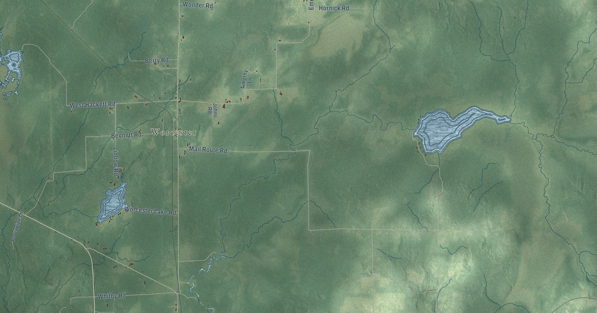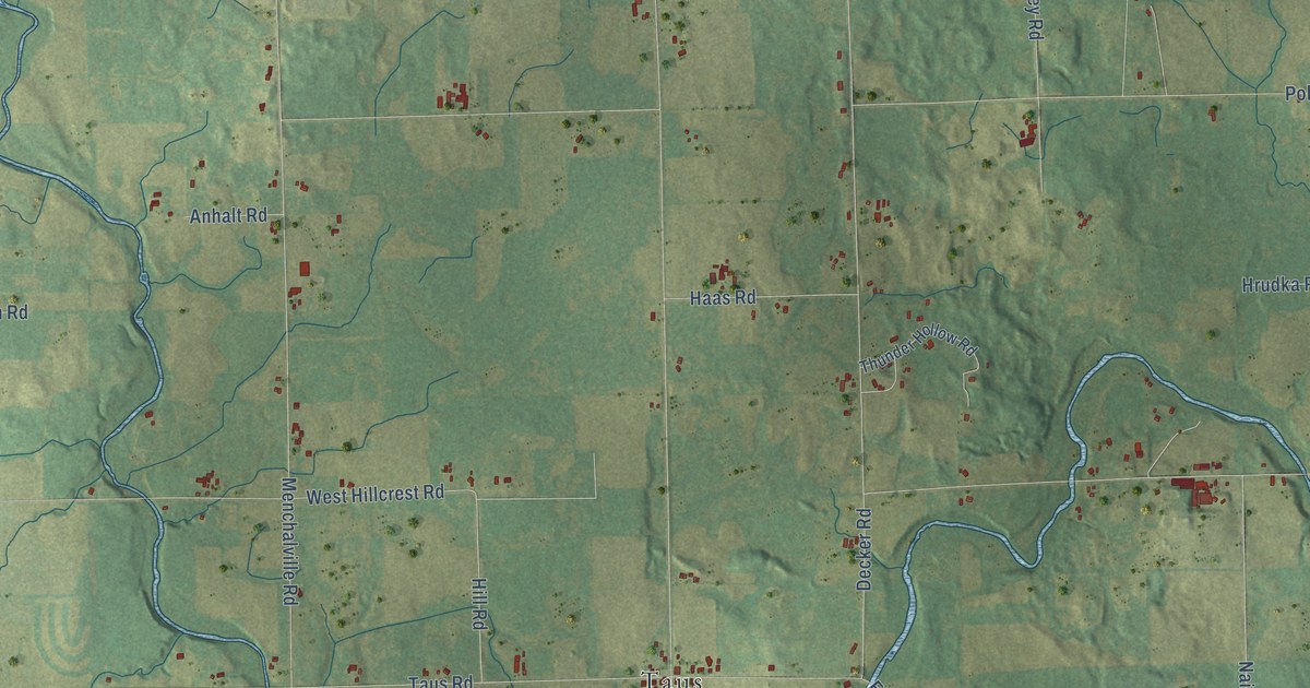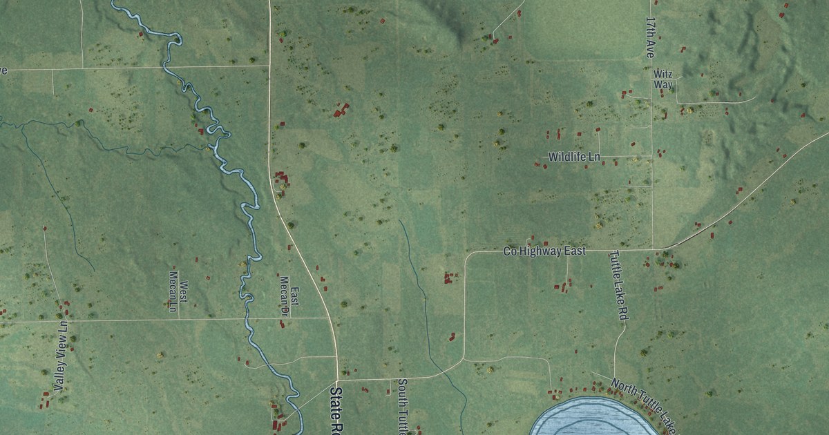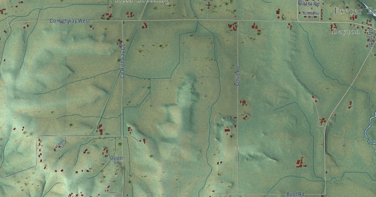
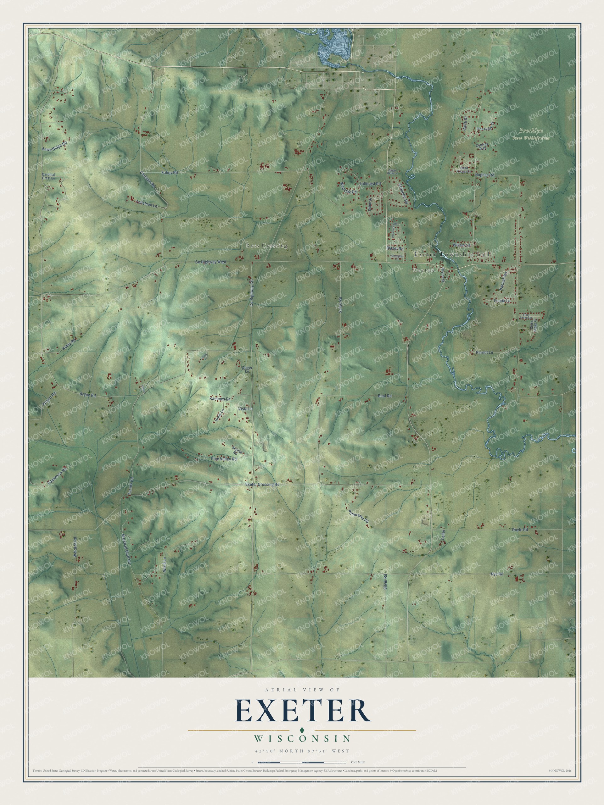
This beautifully detailed map of Exeter, Wisconsin was created in 2026 using aerial imagery combined with modern topographical, census, street and landmark data. It's a modern aerial view of Exeter in Green County, Wisconsin, that combines modern data with a vintage aesthetic. The roads feature printed names, and if you look closely you can find your exact house accurately shown in its correct location.
Explore an aerial view of Exeter, Wisconsin
On this map you'll find Exeter Township hall, Dayton, Ross Crossing, Brooklyn State Wildlife Area, Kammes Drive, Co Highway CC, Exeter Crossing Road, Co Highway West, Argue Road, Nye Road, Tunnel Road, Fahey Road, and more. Each red shape is a building, so zoom in on the preview and look for yours.
Every town has a first chapter, and Exeter is no exception. The Internet Archive puts it this way: "When
a vein ran under the rock, they dug it out as far as they
could reach, built a fire in the hole thus made, and, when
the rock was heated, cracked it by pouring on water."
Exeter is a town in Green County. The Census Bureau counted 2,156 people here in 2020.
Take a closer look at the Exeter map
Names on this map
These names are printed on this map.
Places: Exeter Township hall, Dayton, Ross Crossing and Brooklyn State Wildlife Area.
Streets and roads: Kammes Drive, County Highway CC, Exeter Crossing Road, County Highway West, Argue Road, Nye Road, Tunnel Road, Fahey Road, Christen Road, Buol Road, Schilt Road, Hughes Road.
More street names, A to Z
Airport Road, Blazer Road, Cardinal Crest Lane, Carla Drive, Conway Trail, Dayton Street, Daytonwood Road, Dohm Drive, Doyle Road, Edelweiss Road, Feller, Fonda Lane, Geiger Lane, Hannah Road, Hawk Ridge Road, Hillcrest Road, Holly Lane, Kubly Road, Linden Lane, Marshall Bluff Road, Panorama Road, Pernot Lane, Pine Ridge Court, Pine Valley Road, Sand Crane Drive, Schaefer Road, Schrepfer Lane, Silver Road, Skyline Road, Story Creek Circle, Story Ridge Court, Sugar Belle Lane, Tollefson Lane, Vickers Lane, Vista Lane, Wettach Road, Wild Oak Road, Willow Lane, Wirth Lane.
Created by KNOWOL in 2026. The buildings are small red shapes, the roads carry their printed names, and shaded relief shows the shape of the land. The title panel reads "AERIAL VIEW OF EXETER, WISCONSIN" with 42°50' NORTH 89°31' WEST.
Hang it in the hallway, the office or the cabin, or give it to someone who left Exeter and still calls it home. Open the preview and look for a street you know. See sizes and frames for the Exeter map.