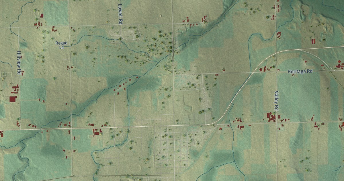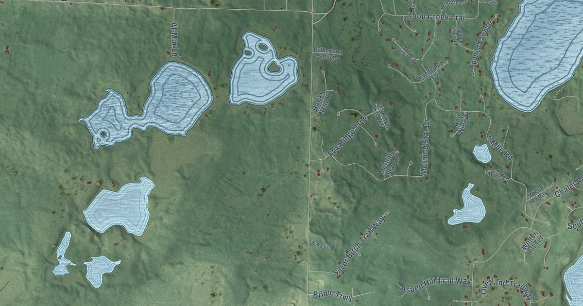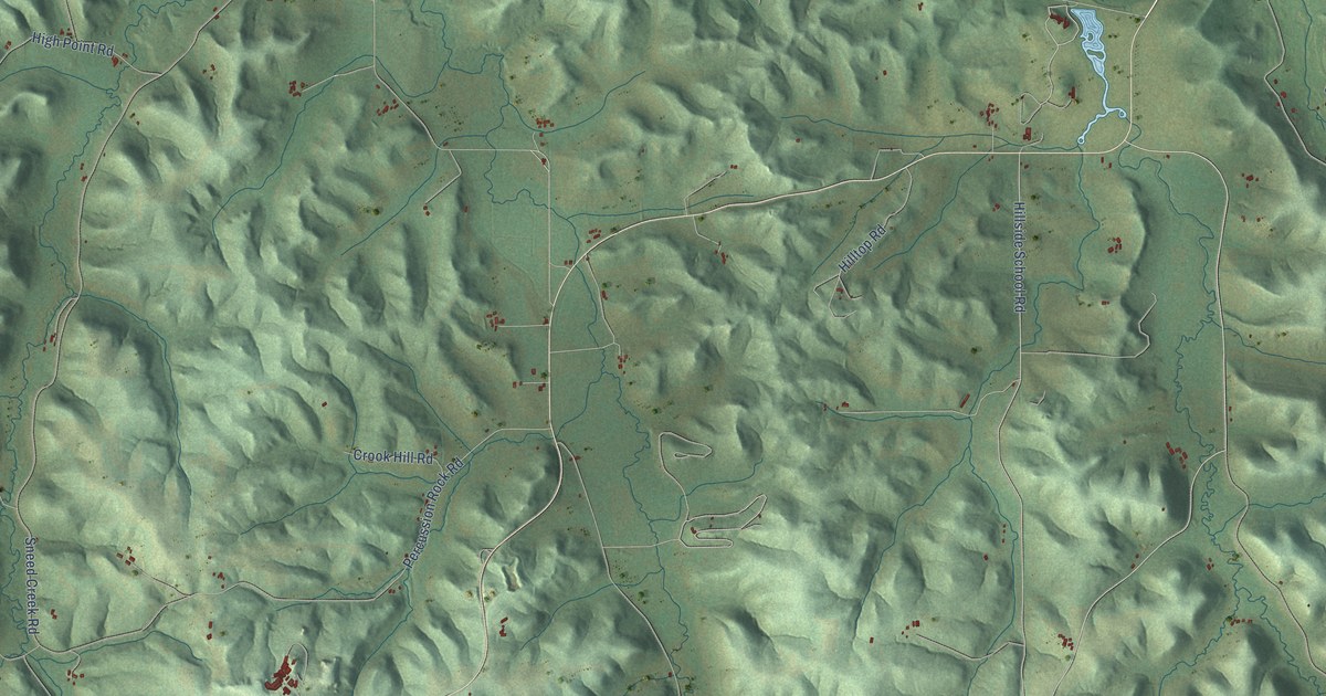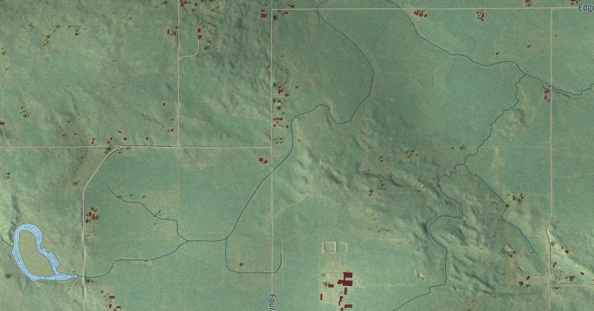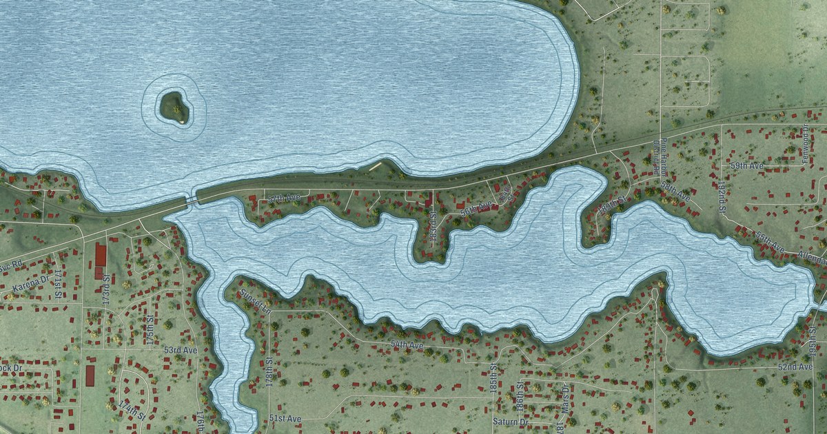
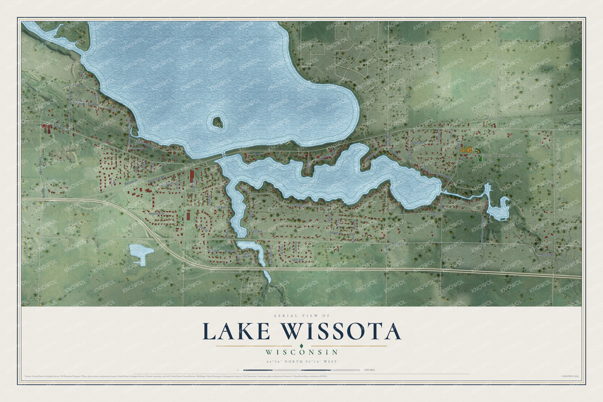
This beautifully detailed map of Lake Wissota, Wisconsin was created in 2026 using aerial imagery combined with modern topographical, census, street and landmark data. It's a modern aerial view of Lake Wissota in Chippewa County, Wisconsin, that combines modern data with a vintage aesthetic. The roads feature printed names, and if you look closely you can find your exact house accurately shown in its correct location.
Explore an aerial view of Lake Wissota, Wisconsin
On this map you'll find Lafayette Town Hall, Bateman, 174th Street, 49th Avenue, Wren Lane, 167th Street, 166th Street, 176th Street, East Hydro Lane, 48th Avenue, South Svc Road, 175th Street, and more. Each red shape is a building, so zoom in on the preview and look for yours.
Lake Wissota is a community in Chippewa County. The Census Bureau counted 2,830 people here in 2020. Lake Wissota sits about 5 miles east of Chippewa Falls, 7 miles east of Lake Hallie and 7 miles west of Cadott. The map prints the town name in its title panel, with the coordinates below it.
Take a closer look at the Lake Wissota map
Names on this map
These names are printed on this map.
Places: Lafayette Town Hall and Bateman.
Streets and roads: 174th Street, 49th Avenue, Wren Lane, 167th Street, 166th Street, 176th Street, East Hydro Lane, 48th Avenue, South Svc Road, 175th Street, 169th Street, 165th Street.
More street names, A to Z
50th Avenue, 51st Avenue, 52nd Avenue, 53rd Avenue, 54th Avenue, 55th Avenue, 56th Avenue, 57th Avenue, 58th Avenue, 59th Avenue, 61st Avenue, 160th Street, 163rd Street, 164th Street, 165th Street East, 167th Avenue, 168th Street, 170th Street, 171st Street, 173rd Street, 177th Street, 178th Street, 180th Street, 181st Street, 182nd Street, 183rd Street, 184th Street, 185th Street, 186th Street, 187th Street, 189th Street, 190th Street, 192nd Street, 195th Street, 196th Street, 197th Street, 199th Street, Allendale Drive, Balsam Drive, Creek Lane, East Park Avenue, Fenwood Drive, Grove Lane, Hemlock Drive, Inlet Drive, Karena Drive, Little Bay Road, Mars Drive, Pine Harbor District Road, Power Plant Drive, Saturn Drive, South Shore Lane, Stilson Road, Sunset Lane, Tower Heights Drive, Town Line Road.
See it on a wall
The Lake Wissota map as a framed print. Swipe for more.


Created by KNOWOL in 2026. The buildings are small red shapes, the roads carry their printed names, and shaded relief shows the shape of the land. The title panel reads "AERIAL VIEW OF LAKE WISSOTA, WISCONSIN" with 44°56' NORTH 91°16' WEST.
It suits a den, a classroom or a front hall, and it makes a gift for anyone with Lake Wissota roots. Open the preview and find the block you know. See sizes and frames for the Lake Wissota map.