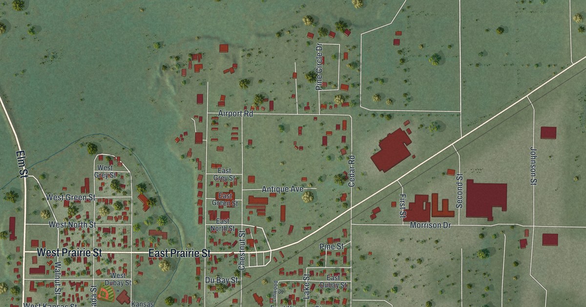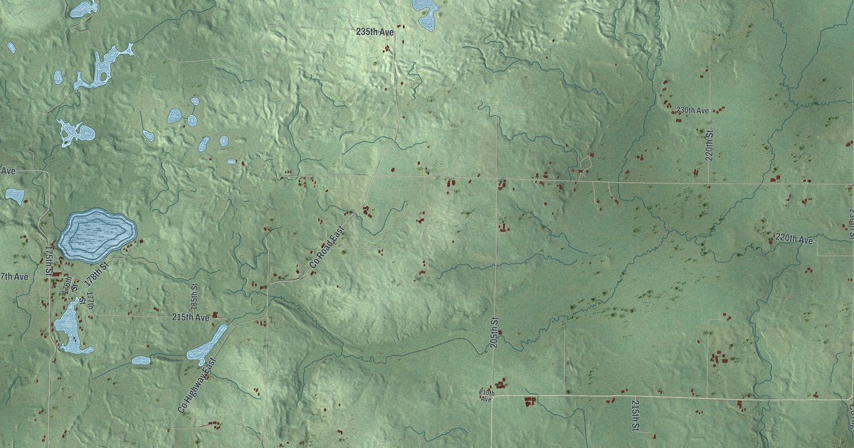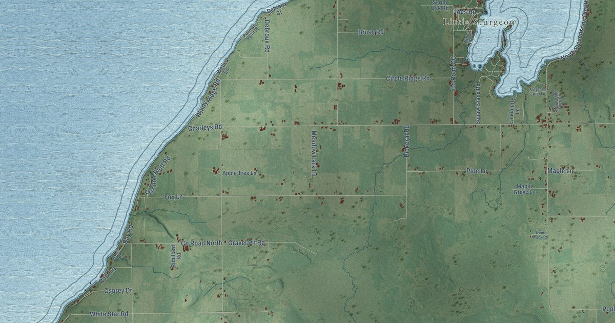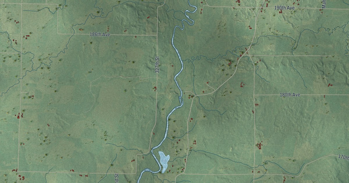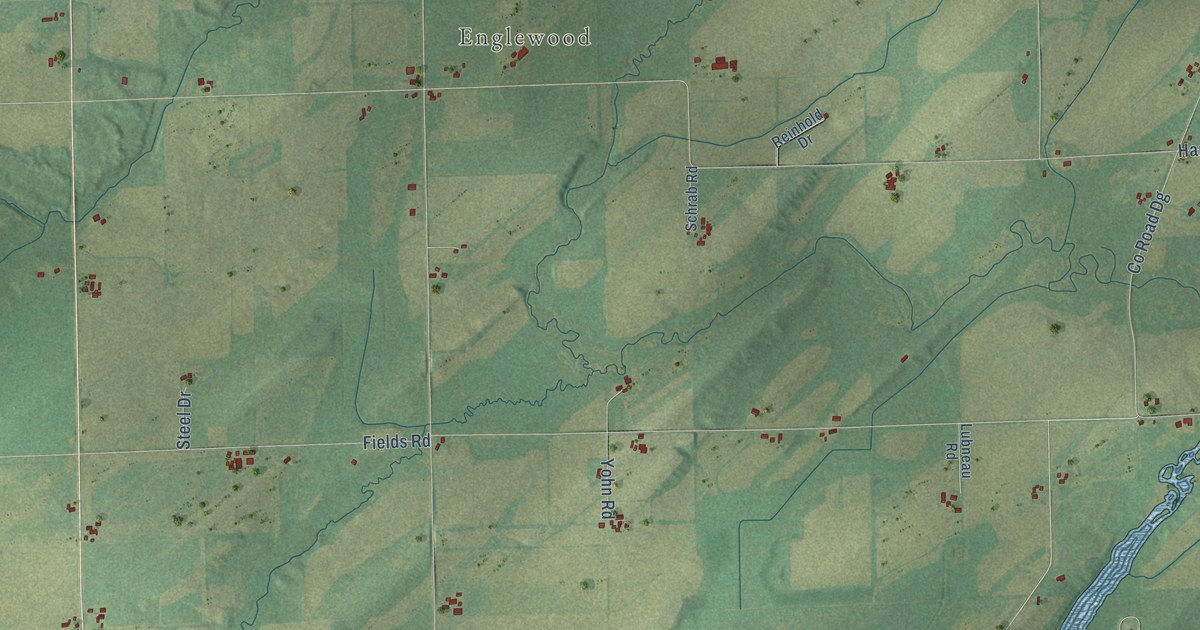
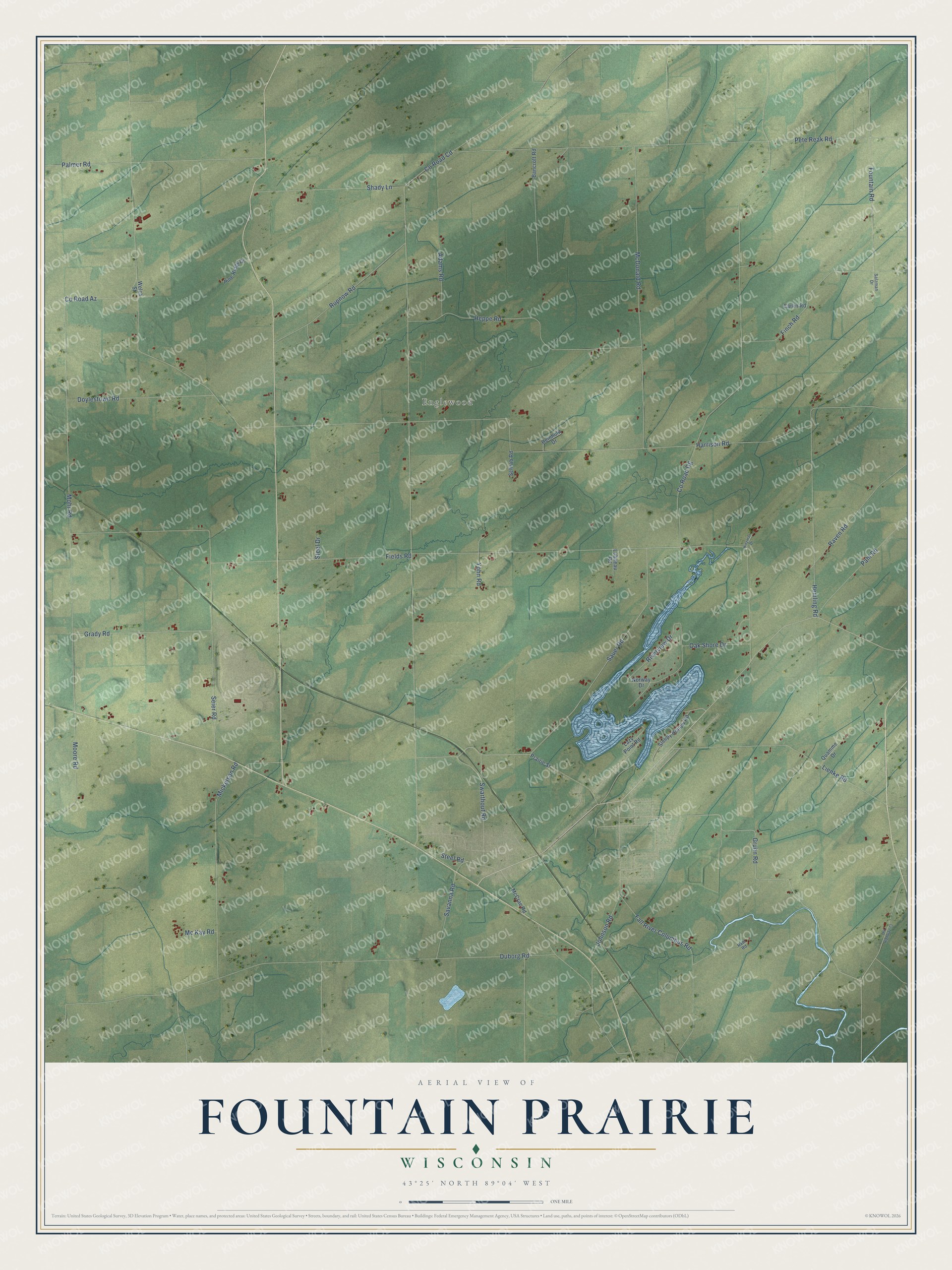
This beautifully detailed map of Fountain Prairie, Wisconsin was created in 2026 using aerial imagery combined with modern topographical, census, street and landmark data. It's a modern aerial view of Fountain Prairie in Columbia County, Wisconsin, that combines modern data with a vintage aesthetic. The roads feature printed names, and if you look closely you can find your exact house accurately shown in its correct location.
Explore an aerial view of Fountain Prairie, Wisconsin
On this map you'll find Englewood, Gruhn Road, Sauer Road, Harrison Road, Co Road Cd, Fields Road, Co Road Dg, Pete Reak Road, Mohr Road, McDonald Road, Duborg Road, Heppe Road, and more. Each red shape is a building, so zoom in on the preview and look for yours.
Fountain Prairie has a story worth telling. The History of Columbia County puts it this way: "The town of Fountain Prairie lies in the southeastern part of the county, in the first eastern tier of townships, Dodge County being to the east. It received its name from the fact that there was a spring or stream of living water on every section of land save three."
Fountain Prairie is a town in Columbia County. The Census Bureau counted 938 people here in 2020.
Take a closer look at the Fountain Prairie map
Names on this map
These names are printed on this map.
Places: Englewood.
Streets and roads: Gruhn Road, Sauer Road, Harrison Road, County Road Cd, Fields Road, County Road Dg, Pete Reak Road, Mohr Road, McDonald Road, Duborg Road, Heppe Road, Mickelson Road.
More street names, A to Z
Adams Road, Bancroft Road, Carlin Road, County Road Az, Doylestown Road, Fall River Columbus Road, Finch Road, Fountain Road, Grady Road, Hemling Road, Hinzman Drive, Johnson Road, Lazy Point Road, Lienke Road, Lubneau Road, McCrae Road, Mc Kay Road, Moore Road, Norway Drive, Oak Shore Drive, Old Highway 73, Pahl Road, Palmer Road, Pine Ridge Drive, Prairie Street, Quamme Drive, Rabl Road, Raven Road, Reinhold Drive, Riverview Drive, Rupnow Road, Salzman Drive, Savanna Road, Schrab Road, Seier Road, Shady Lane, Sleepy Hollow Road, Steel Drive, Steel Road, Swarthout Road, Welch Street, Yohn Road.
Created by KNOWOL in 2026. The buildings are small red shapes, the roads carry their printed names, and shaded relief shows the shape of the land. The title panel reads "AERIAL VIEW OF FOUNTAIN PRAIRIE, WISCONSIN" with 43°25' NORTH 89°04' WEST.
It looks right in a kitchen, an office or a den, and it's a gift for anyone who grew up in Fountain Prairie or moved away. Open the preview and find your street. See sizes and frames for the Fountain Prairie map.