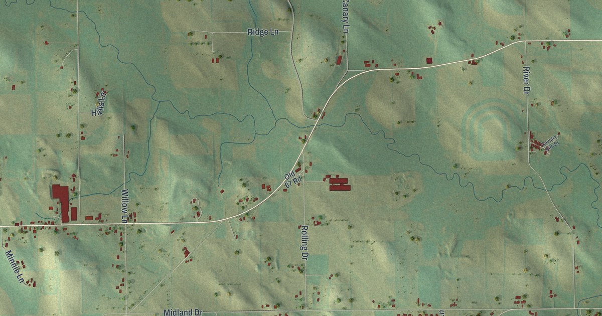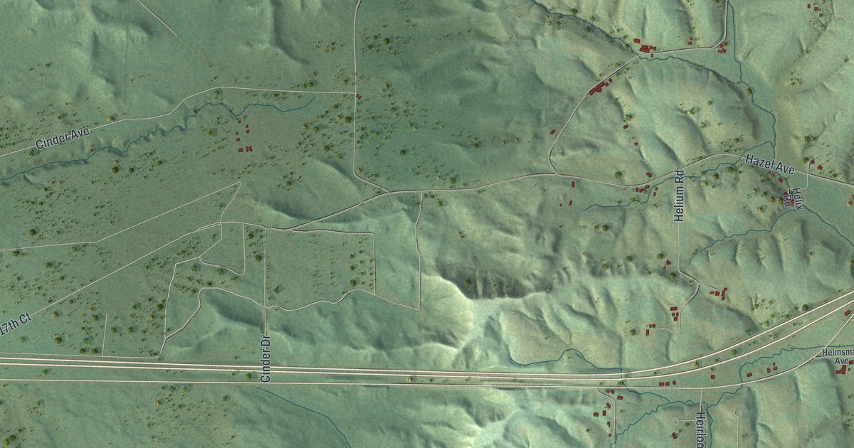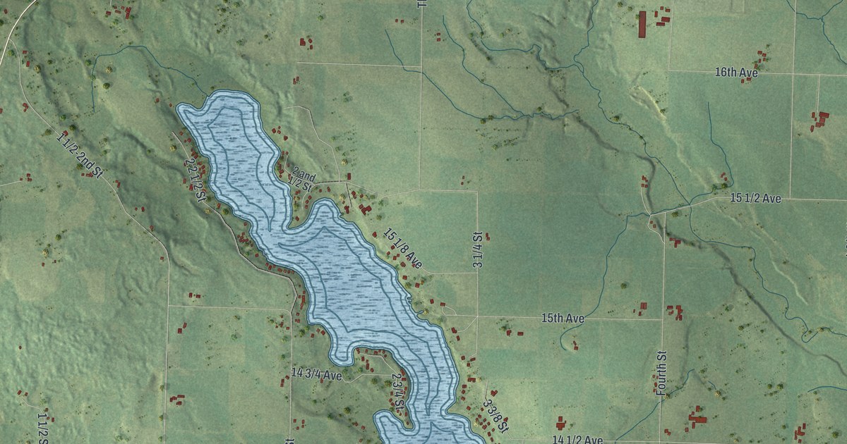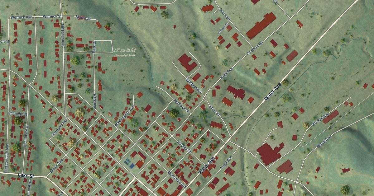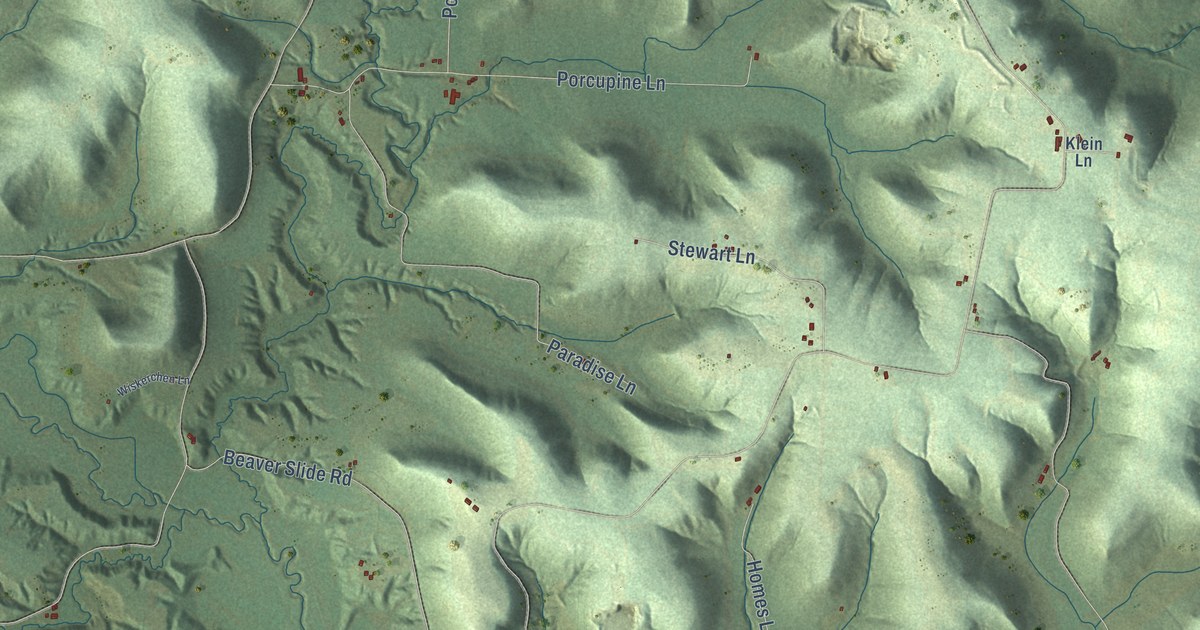
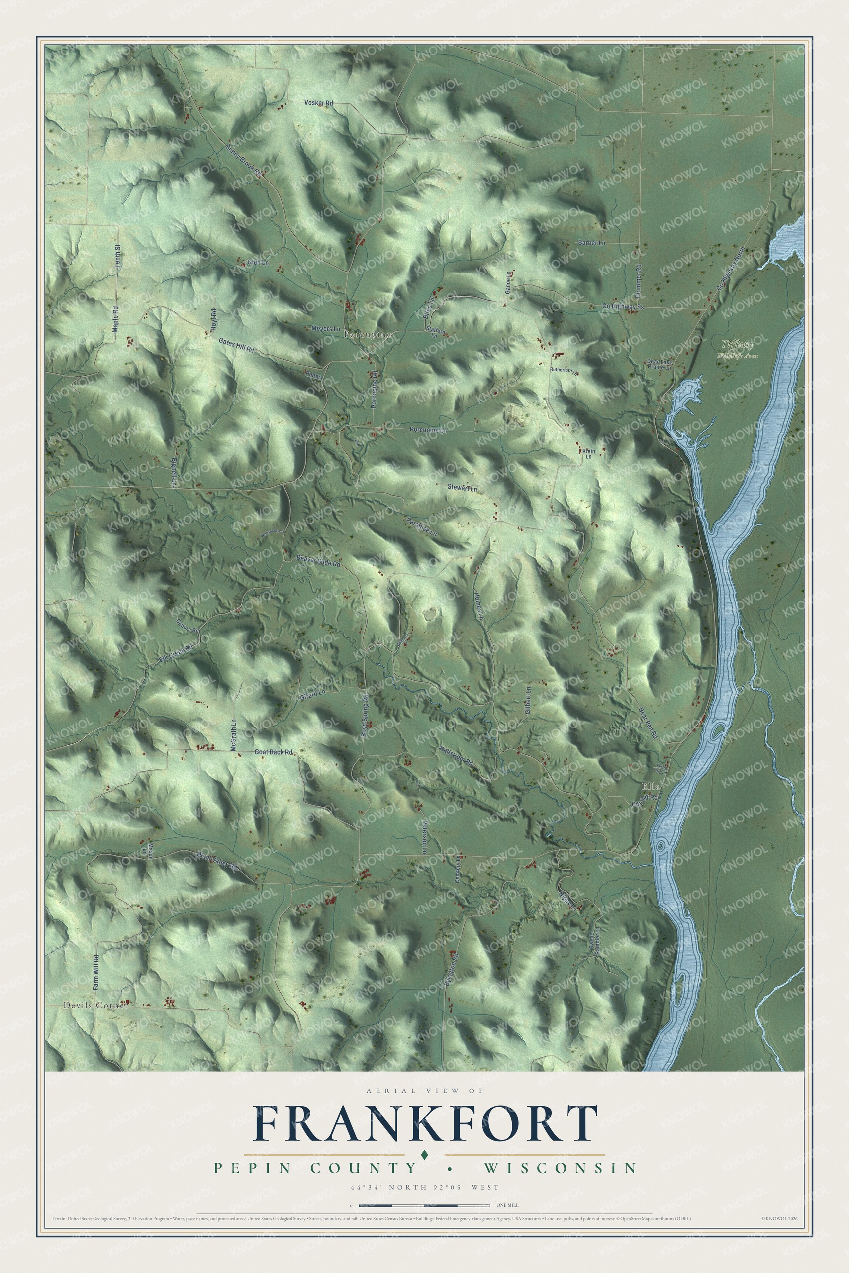
This beautifully detailed map of Frankfort, Wisconsin was created in 2026 using aerial imagery combined with modern topographical, census, street and landmark data. It's a modern aerial view of Frankfort in Pepin County, Wisconsin, that combines modern data with a vintage aesthetic. The roads feature printed names, and if you look closely you can find your exact house accurately shown in its correct location.
Explore an aerial view of Frankfort, Wisconsin
On this map you'll find Devils Corner, Ella, Porcupine, Tiffany Wildlife Area, Co Highway Ss, Maple Road, Tenth Street, Co Highway North, Plum Valley Road, Elk Creek Road, Goat Back Road, Bear Pen Road, and more. Each red shape is a building, so zoom in on the preview and look for yours.
Every town has a first chapter, and Frankfort is no exception. The History of Northern Wisconsin puts it this way: "J. S. McCourtie opened the first store in the county, in 1853, in the present town of Frankfort."
Frankfort is a town in Pepin County. The Census Bureau counted 325 people here in 2020.
Take a closer look at the Frankfort map
Names on this map
These names are printed on this map.
Places: Devils Corner, Ella, Porcupine and Tiffany Wildlife Area.
Streets and roads: County Highway Ss, Maple Road, Tenth Street, County Highway North, Plum Valley Road, Elk Creek Road, Goat Back Road, Bear Pen Road, Sunny Brook Road, Gates Hill Road, Boyd Spring Road, Byington Road.
More street names, A to Z
Anderson Lane, Barber Lane, Beaver Slide Road, Bignell Lane, Biles Lane, Cemtery Lane, Coburn Road, Cut Off Road, Dead Lake Prairie Lane, Farm Will Road, Ganoe Lane, Gilbert Lane, Girard Lane, Glen Lane, Homes Lane, Hoyt Road, Kallstrom Road, Klein Lane, Mason Lane, McGrath Lane, Meyers Lane, Nippy Lane, Paradise Lane, Peterson Lane, Plummer Road, Porcupine Lane, Porcupine Road, Pottery Lane, Rutherford Lane, Stafford Lane, Stewart Lane, Swede Rambler Lane, Three Dog Lane, Vosker Road, Wiskerchen Lane.
Created by KNOWOL in 2026. The buildings are small red shapes, the roads carry their printed names, and shaded relief shows the shape of the land. The title panel reads "AERIAL VIEW OF FRANKFORT, PEPIN COUNTY • WISCONSIN" with 44°34' NORTH 92°05' WEST.
Hang it in the hallway, the office or the cabin, or give it to someone who left Frankfort and still calls it home. Open the preview and look for a street you know. See sizes and frames for the Frankfort, Pepin County map.