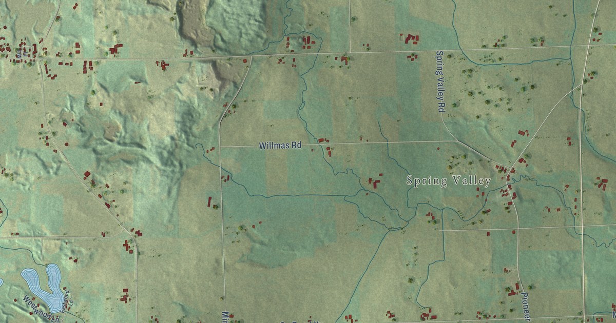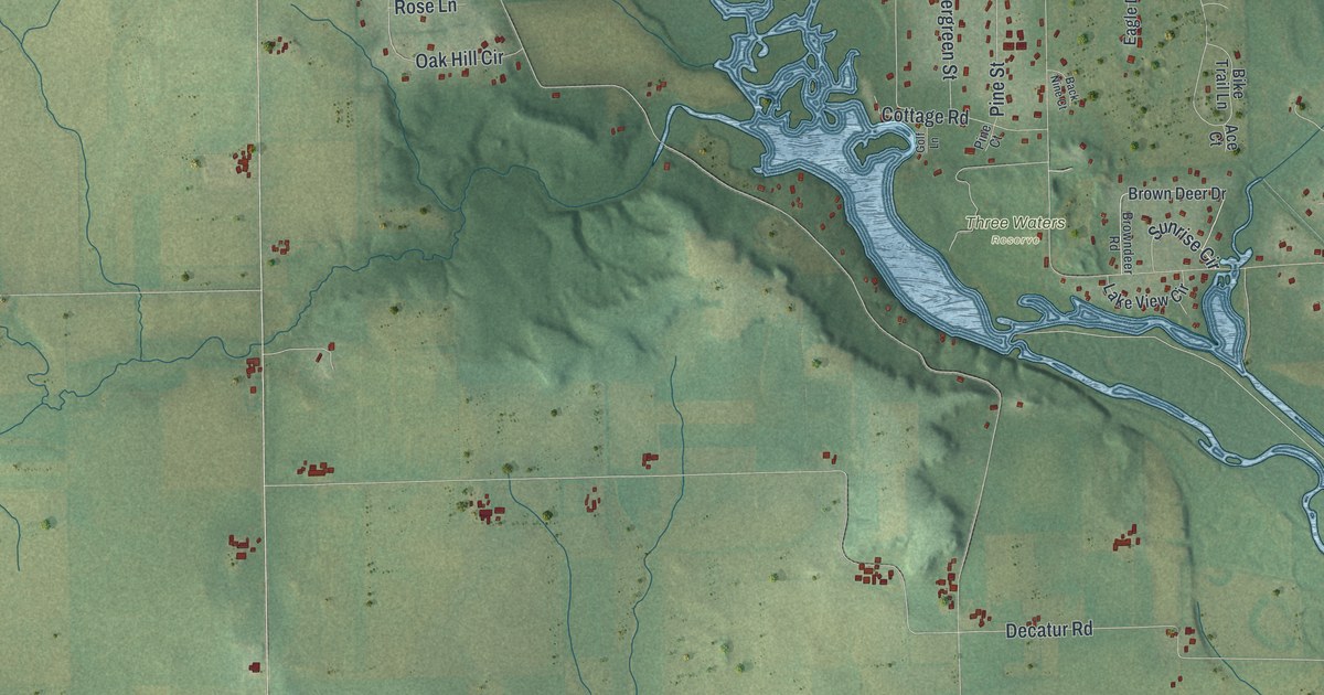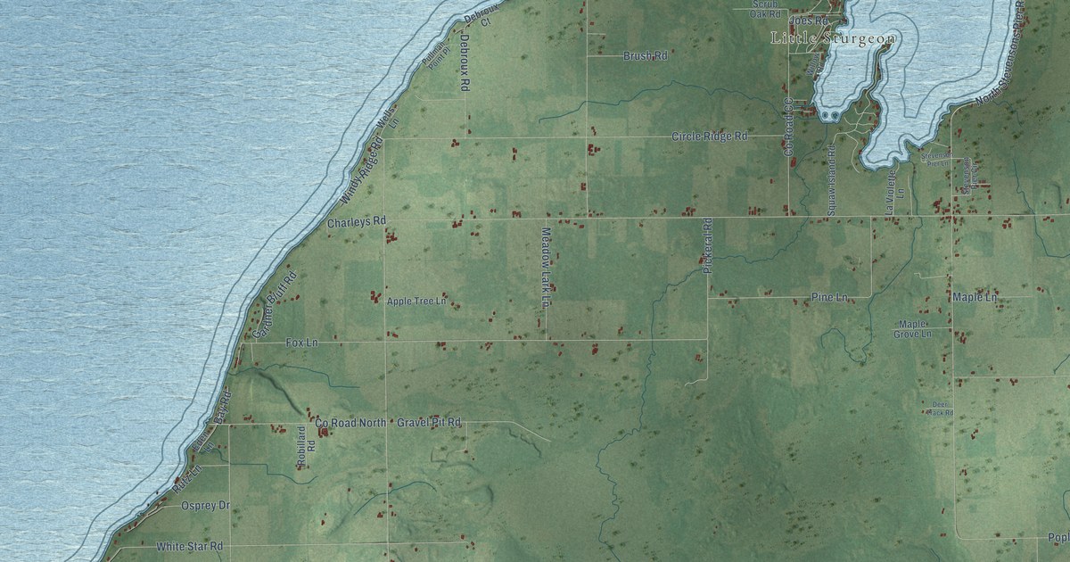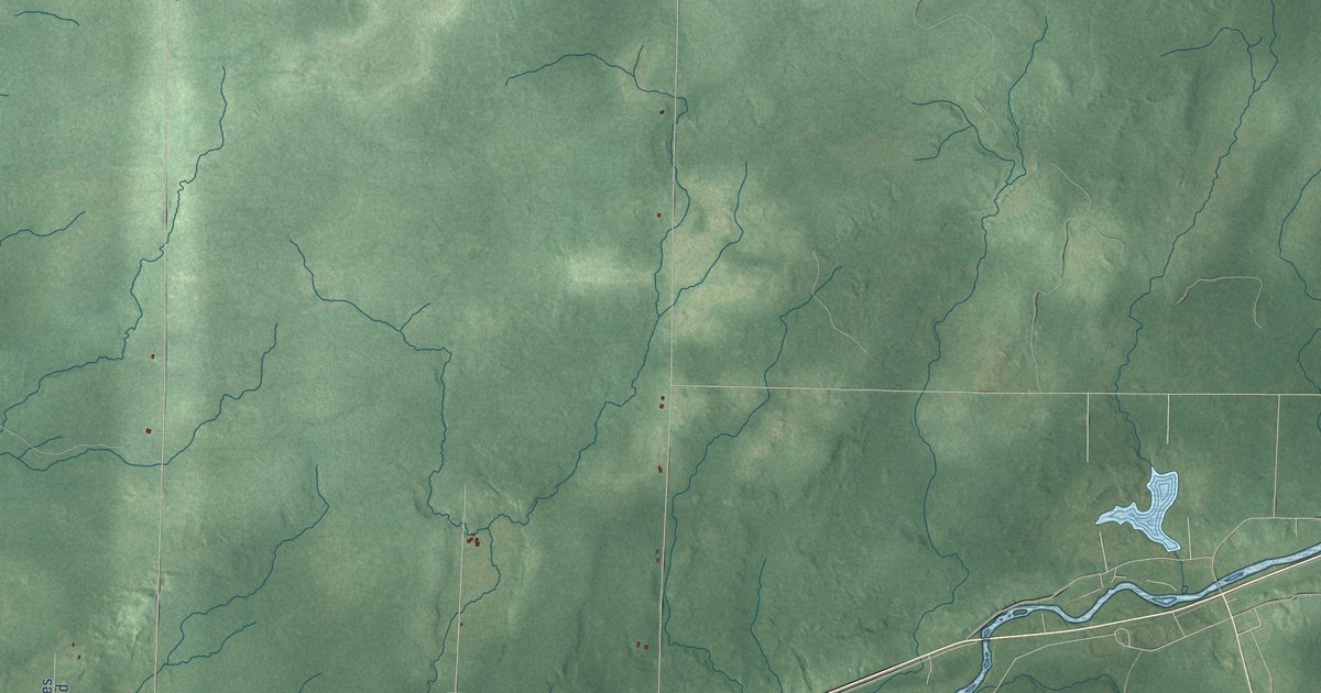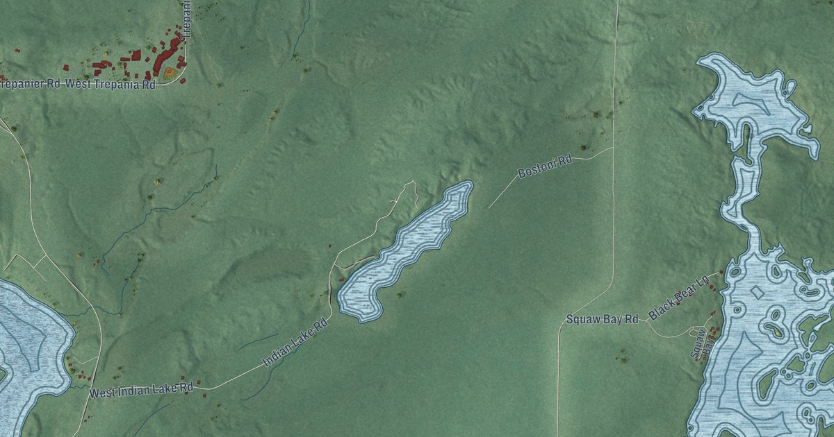
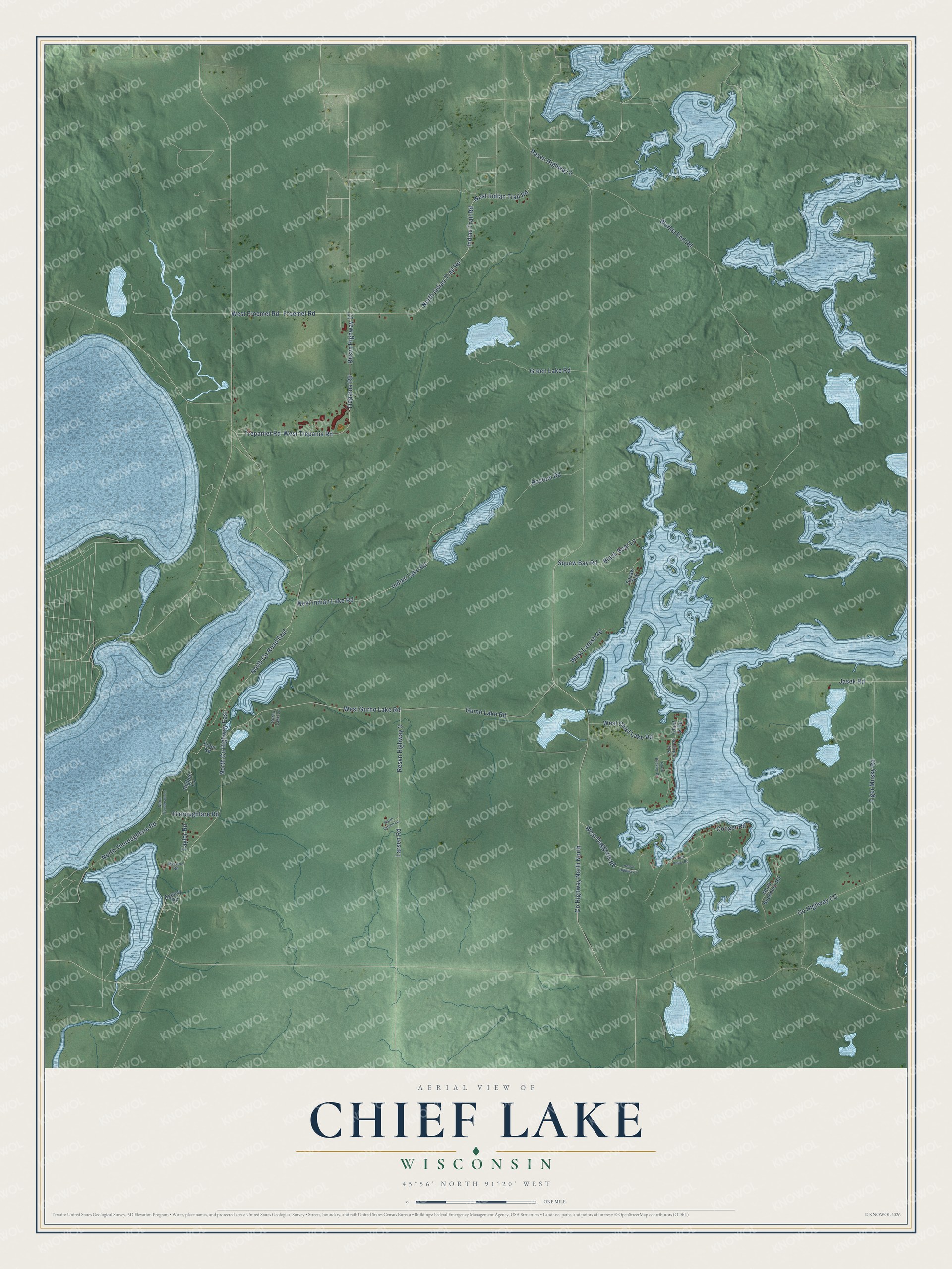
This beautifully detailed map of Chief Lake, Wisconsin was created in 2026 using aerial imagery combined with modern topographical, census, street and landmark data. It's a modern aerial view of Chief Lake in Sawyer County, Wisconsin, that combines modern data with a vintage aesthetic. The roads feature printed names, and if you look closely you can find your exact house accurately shown in its correct location.
Explore an aerial view of Chief Lake, Wisconsin
On this map you'll find West Indian Trail Road, North Indian Trail Road, Froemel Road, West Froemel Road, Indian Trail Road, North Co Road East, West Gurno Lake Road, Resvn Highway 6, North Co Highway East, Gurno Lake Road, Indian Lake Road, West Indian Lake Road, and more. Each red shape is a building, so zoom in on the preview and look for yours.
Every town has a first chapter, and Chief Lake is no exception. Lac Courte Oreilles Ojibwe University began in 1982, when a task force of educators and parents set out to found a tribal community college. The Lac Courte Oreilles Tribal Governing Board chartered it that August, volunteer teachers held the first classes, and in May 1986 the college granted its first Associate of Arts degree. It won land grant status from Congress in 1994 and became a university in 2022, after adding bachelor and master degrees. That's from the Lac Courte Oreilles Ojibwe University.
Chief Lake is a community in Sawyer County. The Census Bureau counted 582 people here in 2020.
Take a closer look at the Chief Lake map
Names on this map
These names are printed on this map.
Streets and roads: West Indian Trail Road, North Indian Trail Road, Froemel Road, West Froemel Road, Indian Trail Road, County Highway North North, North County Road East, West Gurno Lake Road, Resvn Highway 6, North County Highway East, Gurno Lake Road, Indian Lake Road.
More street names, A to Z
Agency Road, Black Bear Lane, Bostoni Road, Chief Lk Road, Conger Road, County Highway CC, Ester Road, Green Lake Road, Gurno Lake Lane, Higbee Lane, Jasek Road, Larsen Road, Mission Road, North Buckhorn Road, North Buckley Drive, North Gunderson Lane, North Larson Lane, North Thoroughfare Road, North Vogel Road, Pats Landing Road, Resvn Highway 2, Resvn Highway 3, Resvn Highway 17, Taylor Road, Thoroughfare Road, Tiger Musky Road, Trepania Road, Trepanier Road, West Chief Lake Road, West Daggetts Road, West Indian Lake Road, West Larush Road, West Trepania Road, Worlds End Road.
See it on a wall
The Chief Lake map as a framed print. Swipe for more.


Created by KNOWOL in 2026. The buildings are small red shapes, the roads carry their printed names, and shaded relief shows the shape of the land. The title panel reads "AERIAL VIEW OF CHIEF LAKE, WISCONSIN" with 45°56' NORTH 91°20' WEST.
Hang it in the hallway, the office or the cabin, or give it to someone who left Chief Lake and still calls it home. Open the preview and look for a street you know. See sizes and frames for the Chief Lake map.