A Christmas gift for anyone from Reserve
This map as a print from $39.99, or framed from $79.99, with free U.S. shipping. Order by December 10 to have it by Christmas.
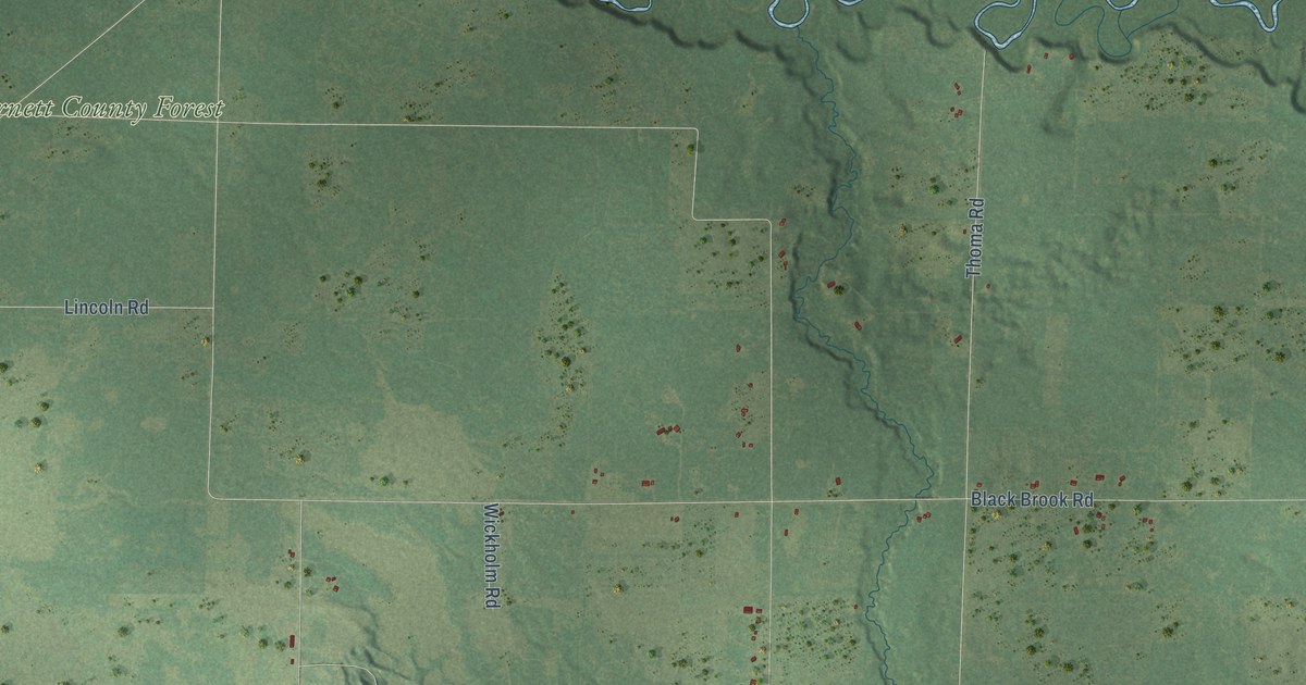
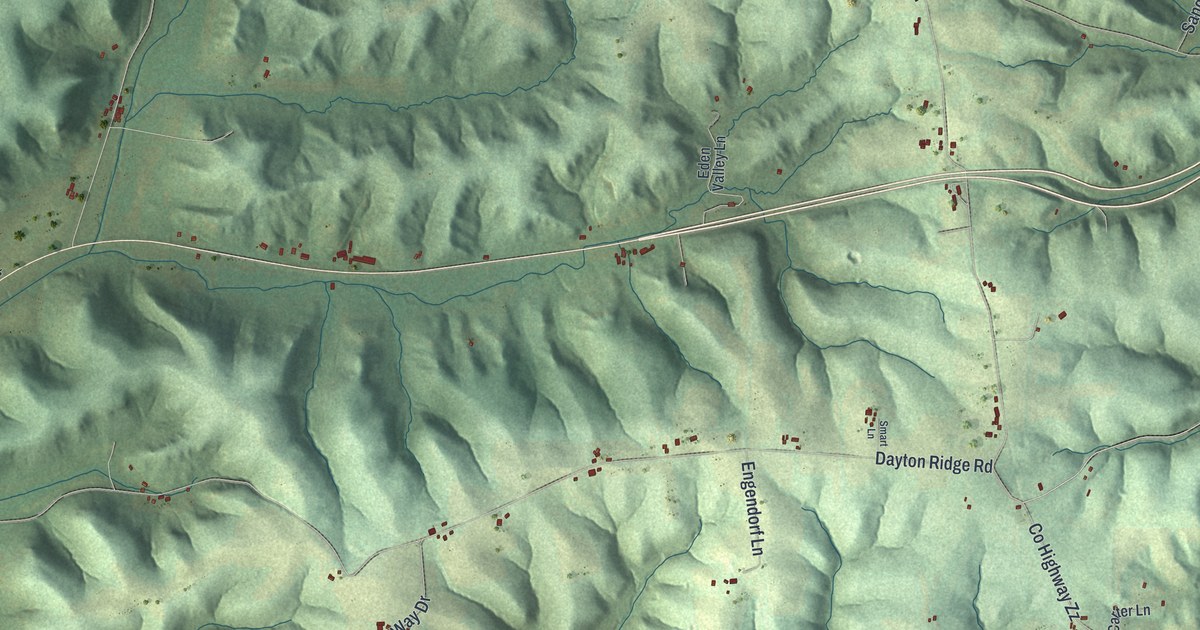
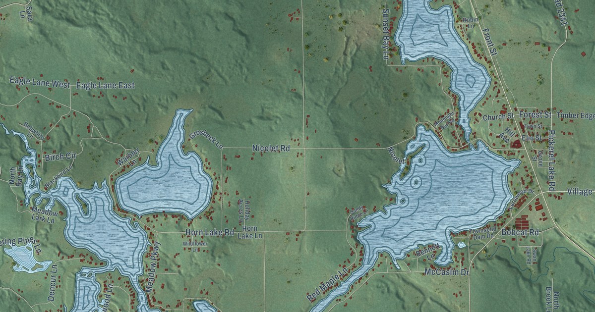
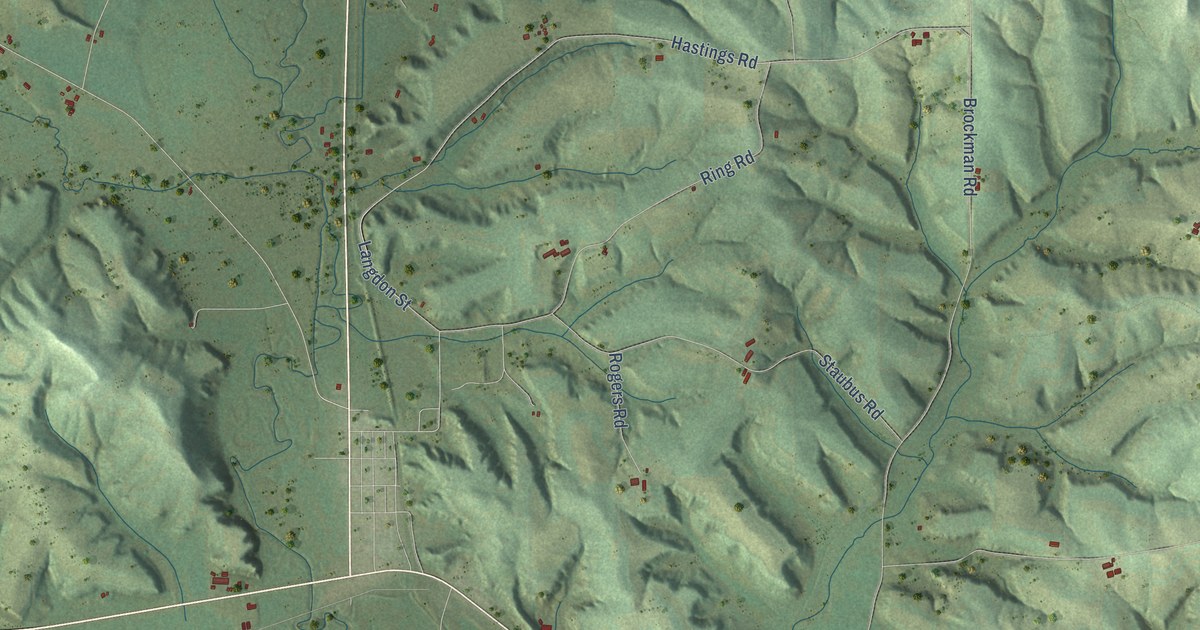
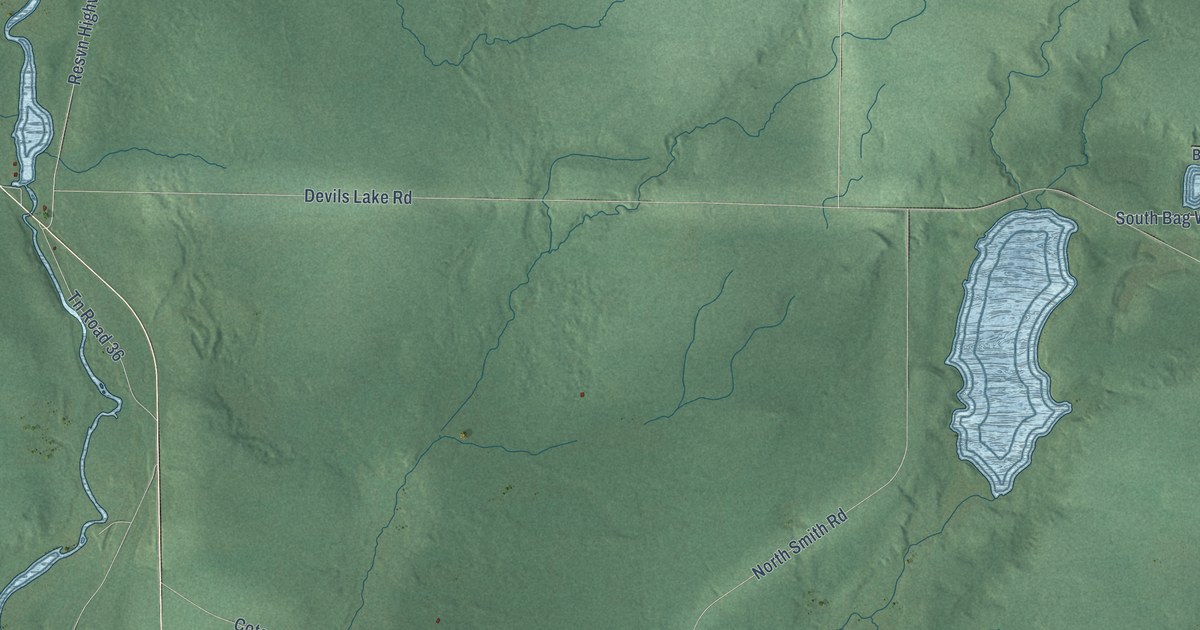
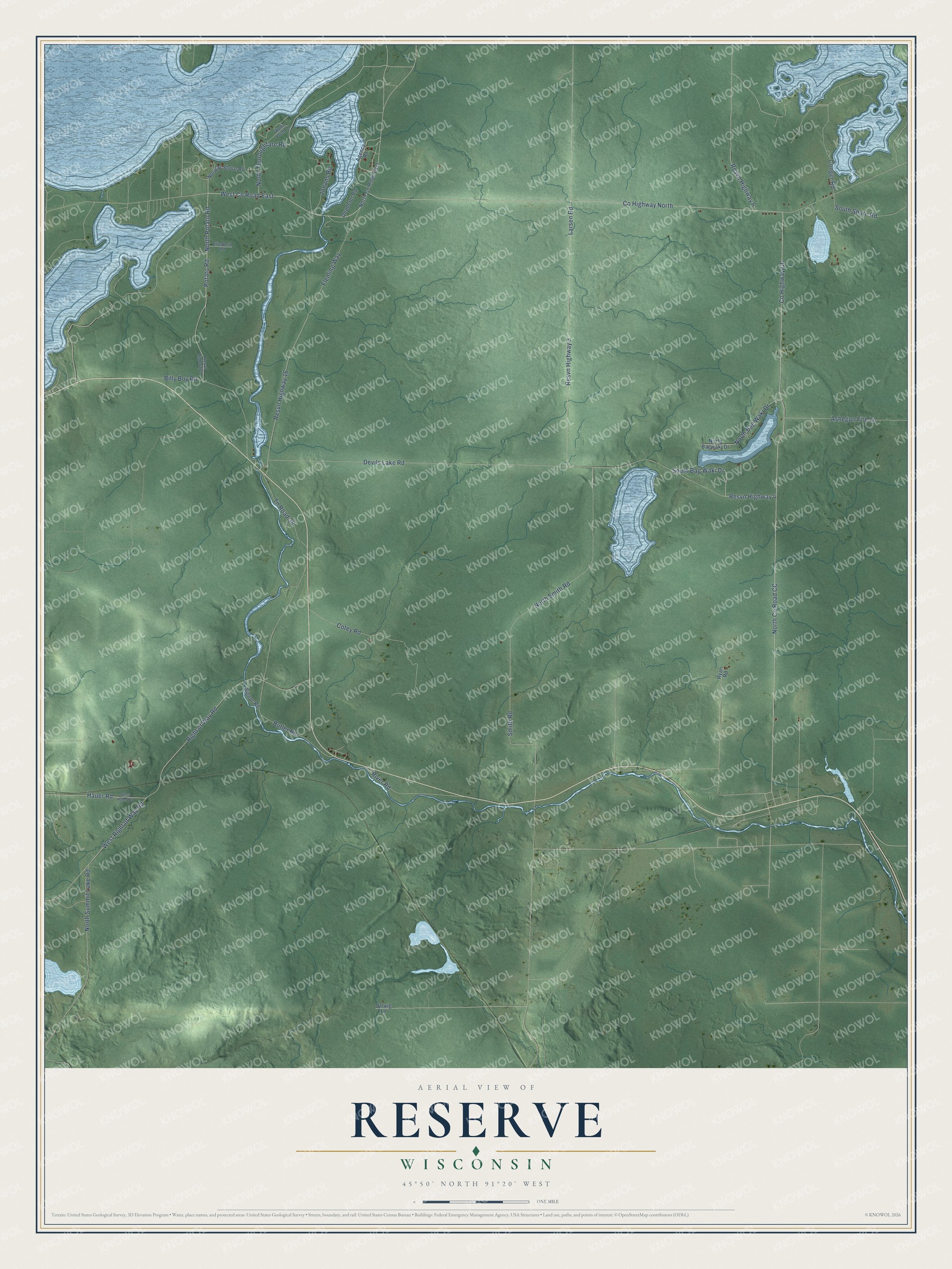
See the Reserve printThis beautifully detailed map of Reserve, Wisconsin was created in 2026 using aerial imagery combined with modern topographical, census, street and landmark data. It’s a one-of-a-kind view of Reserve that combines accurate data with a vintage aesthetic. The map shows every building in its true location, many of the roads carry their names, and the shaded topographic relief shows the shape of the land.
Explore an aerial view of Reserve, Wisconsin
On the map you’ll find North Co Road CC, along with County Highway North, West Co Road East, Potato Road, Smith Road, Resvn Highway 4, County Highway CC, Devils Lake Road, Right of Way Road, West Right of Way Road, Larsen Road, Resvn Highway 3, and more. If you look closely you can even find your house accurately drawn in its correct location. Zoom in on the preview to look for yours.
Did You Know?
In 1745 a group of Ojibwe hunters braved Sioux attacks and built their wigwams on the shore of Little Lac Courte Oreilles. That winter a child of the band died and was buried in the woods nearby. Legend says the grieving parents would not leave, and other Ojibwe followed in such numbers that the Sioux were driven from the area. The band history also tells that the French traders Radisson and Groseilliers came to a Huron village believed to be near present-day Reserve in 1661 and 1662. That's from the Lac Courte Oreilles Tribal Government.
Take a closer look at the Reserve map
Names on this map
These names are printed on this map.
Streets and roads: North County Road CC, County Highway North, West County Road East, Potato Road, Smith Road, Resvn Highway 4, County Highway CC, Devils Lake Road, Right of Way Road, West Right of Way Road, Larsen Road, Resvn Highway 3.
More street names, A to Z
Agency Road, Ashegon Fire Lane, Billy Boy Road, Butler Road, Conger Road, Cotey Road, Elizabeth Road, Fleming Way, Hauer Road, Jonans Road, North Bag Waki Drive, North Bagwaki Drive, North County Road East, North Potato Road, North Smith Road, North Summit Lake Road, North Thoroughfare Road, Norway Shore Road, Ortwig Lane, Quaderer Road, Resvn Highway 6, Resvn Highway 9, Resvn Highway 16, River Road, Ryan Road, Signor Road, South Bag Waki Drive, South Shore Road, Tn Road 36, West Hauer Road, Wolfe Point Lane.
See it on a wall
The Reserve map as a framed print. Swipe for more.


This beautifully detailed map of Reserve makes an attractive addition to your office, library, or den, and it can even be used to teach children the geography and history of the area. It also makes a great gift for anyone who grew up in Reserve or moved away. When you’re done exploring, click here to get your copy of the Reserve map.