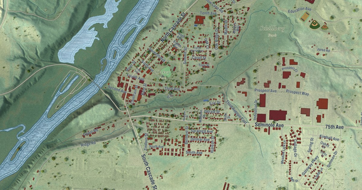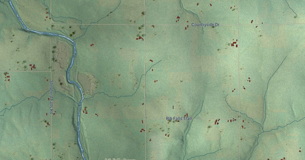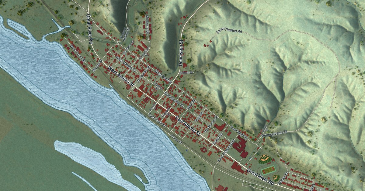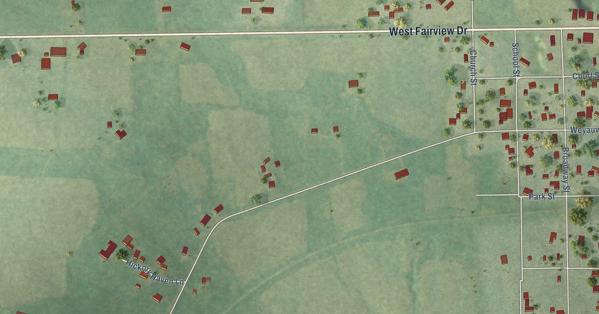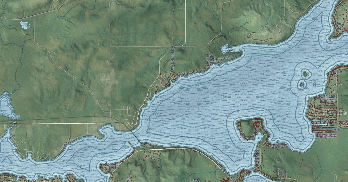
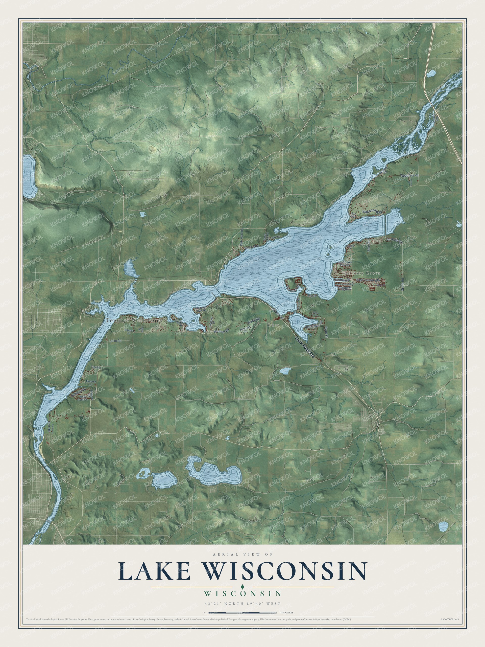
This beautifully detailed map of Lake Wisconsin, Wisconsin was created in 2026 using aerial imagery combined with modern topographical, census, street and landmark data. It's a modern aerial view of Lake Wisconsin in Columbia County, Wisconsin, that combines modern data with a vintage aesthetic. The roads feature printed names, and if you look closely you can find your exact house accurately shown in its correct location.
Explore an aerial view of Lake Wisconsin, Wisconsin
On this map you'll find Town of West Point, Okee, Harmony Grove, State Road 113, Golf Road, Tipperary Road, Ryan Road, Smith Road, Unke Road, Wildwood Way, Selwood Drive, Slack Road, and more. Each red shape is a building, so zoom in on the preview and look for yours.
Lake Wisconsin has a story worth telling. After the hydroelectric dam at Prairie du Sac began running in 1914, the Wisconsin River took six to seven years to flood the valley and form Lake Wisconsin. In winter, when the lake froze, local residents went out on the ice and cut off the tops of the flooded trees. Before the dam, logs from the forests of northern Wisconsin floated down the river to sawmills at Okee and Dekorra. That's from the Lodi Enterprise.
Lake Wisconsin is a community in Columbia County. The Census Bureau counted 4,616 people here in 2020.
Take a closer look at the Lake Wisconsin map
Names on this map
These names are printed on this map.
Places: Town of West Point, Okee and Harmony Grove.
Streets and roads: State Road 113, Golf Road, Tipperary Road, Ryan Road, Smith Road, Unke Road, Wildwood Way, Selwood Drive, Slack Road, East Harmony Drive, Demynck Road, Red Cedar Road.
More street names, A to Z
Baltic Avenue, Bay Drive, Cactus Acres, Cedar Park Road, Corning Street, County Road Cs, Eagle Drive, Fairway Lane, Fjord Drive, Fox Glen, Hillcrest Drive, Holzman Drive, Lake Drive, Lake Street, North Lake Point Drive, Oak Knoll Drive, Old Sauk Road, Owls Head Road, Park Street, Pleasant View Drive, Pustaver Drive, Rapp Road, Rausch Lane, River Drive, Rodney Drive, Selwood Road, Stein Road, Theresa Lane, Trails End Road, Wartner Road, West Point Drive, Wildcat Road.
See it on a wall
The Lake Wisconsin map as a framed print. Swipe for more.


Created by KNOWOL in 2026. The buildings are small red shapes, the roads carry their printed names, and shaded relief shows the shape of the land. The title panel reads "AERIAL VIEW OF LAKE WISCONSIN, WISCONSIN" with 43°21' NORTH 89°40' WEST.
It looks right in a kitchen, an office or a den, and it's a gift for anyone who grew up in Lake Wisconsin or moved away. Open the preview and find your street. See sizes and frames for the Lake Wisconsin map.