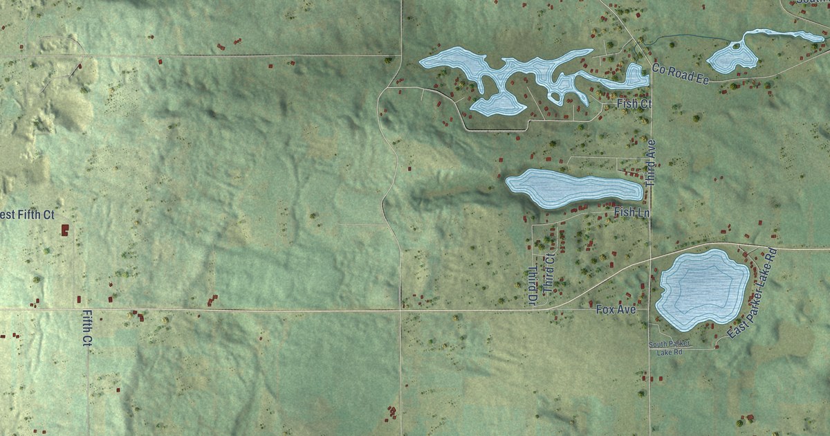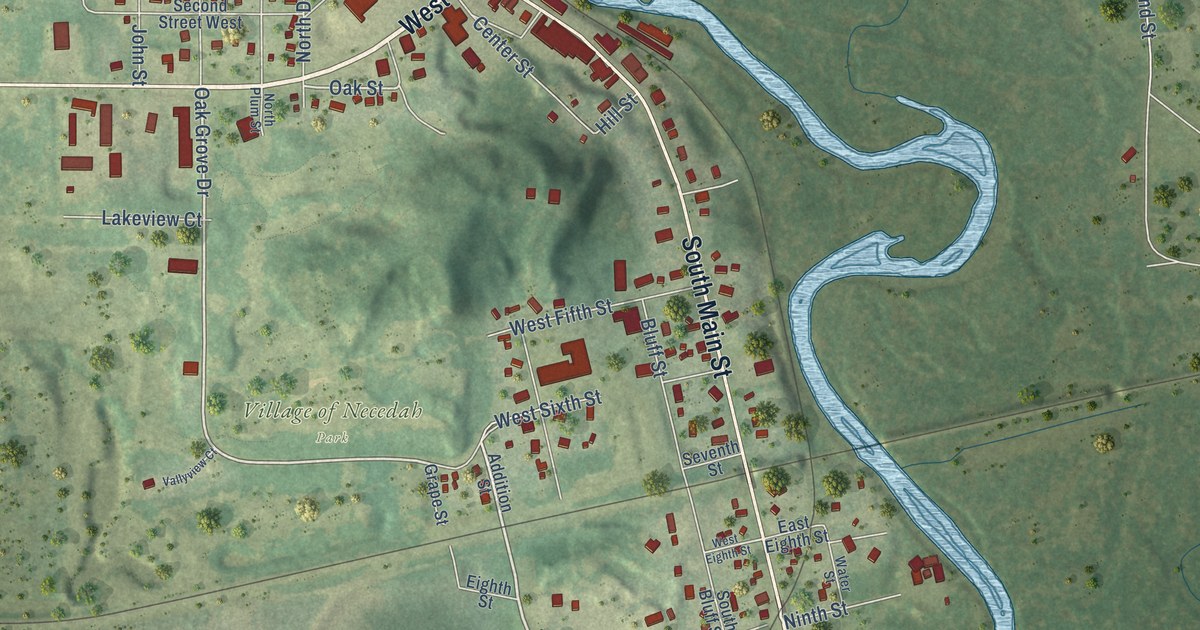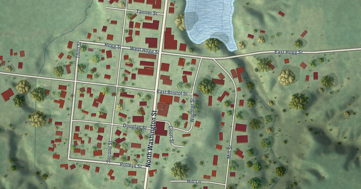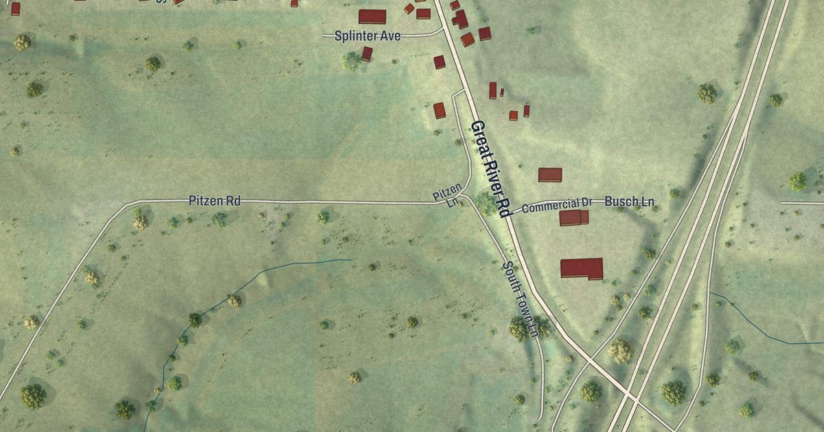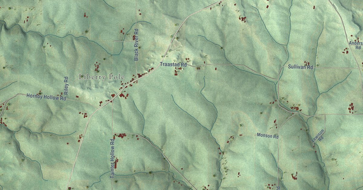
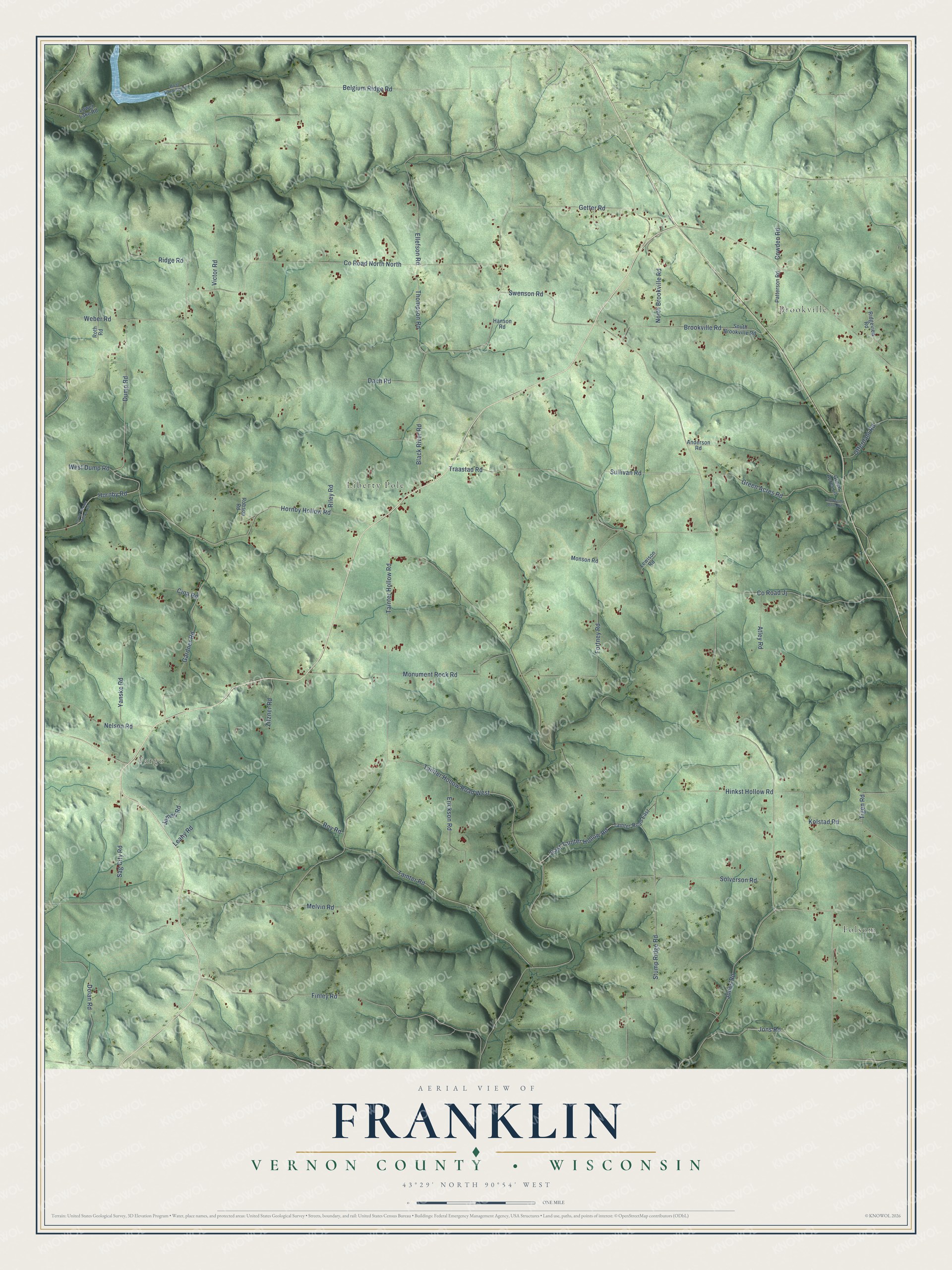
This beautifully detailed map of Franklin, Wisconsin was created in 2026 using aerial imagery combined with modern topographical, census, street and landmark data. It's a modern aerial view of Franklin in Vernon County, Wisconsin, that combines modern data with a vintage aesthetic. The roads feature printed names, and if you look closely you can find your exact house accurately shown in its correct location.
Explore an aerial view of Franklin, Wisconsin
On this map you'll find Folsom, Fargo, Brookville, Liberty Pole, Fortney Road, Dump Road, Hornby Hollow Road, Jons Road, Sullivan Road, East Tainter Hollow Road, Stump Ridge Road, Tainter Hollow Road, and more. Each red shape is a building, so zoom in on the preview and look for yours.
Here is a piece of Franklin history, in the words of the record. The History of Vernon County puts it this way: "The first Norwegian settler of the town of Franklin was Torger O. Fortney, who came in 1855; others came about the same time and soon after, services of this people were held in a church built of logs, located just over the line in Crawford county."
Franklin is a town in Vernon County. The Census Bureau counted 1,106 people here in 2020.
Take a closer look at the Franklin map
Names on this map
These names are printed on this map.
Places: Folsom, Fargo, Brookville and Liberty Pole.
Streets and roads: Fortney Road, Dump Road, Hornby Hollow Road, Jons Road, Sullivan Road, East Tainter Hollow Road, Stump Ridge Road, County Road North North, Tainter Hollow Road, Hinkst Hollow Road, Tainter Hollow Road West, Belgium Ridge Road.
More street names, A to Z
Anderson Road, Atley Road, Black River Road, Boat Landing Road, Brookville Road, Cina Road, County Road Jj, Cowden Road, Dach Road, Dolan Road, Ellefson Road, Erickson Road, Finley Road, Gardner Road, Getter Road, Green Acres Lane, Green Acres Road, Hanson Road, Hornby Road, James Road, Jones Road, Kolstad Road, Leahy Road, Lewison Road, Lonesome Dove Road, Lower Hornby Hollow Road, Lower Lake Road, Melvin Road, Monson Road, Monument Rock Road, Nelson Road, North Brookville Road, Offerdahl Road, Patterson Road, Ridge Road, Ridgeview Road, Riley Road, Robson Road, Roth Road, Roy Road, Sag City Road, Solverson Road, South Brookville Road, Swenson Road, Tainter Road, Tainter Road East, Thompson Road, Tigen Road, Traastad Road, Victor Road, Weber Road, West Dump Road, Yanske Road, Zitzner Road.
Created by KNOWOL in 2026. The buildings are small red shapes, the roads carry their printed names, and shaded relief shows the shape of the land. The title panel reads "AERIAL VIEW OF FRANKLIN, VERNON COUNTY • WISCONSIN" with 43°29' NORTH 90°54' WEST.
It suits a den, a classroom or a front hall, and it makes a gift for anyone with Franklin roots. Open the preview and find the block you know. See sizes and frames for the Franklin, Vernon County map.