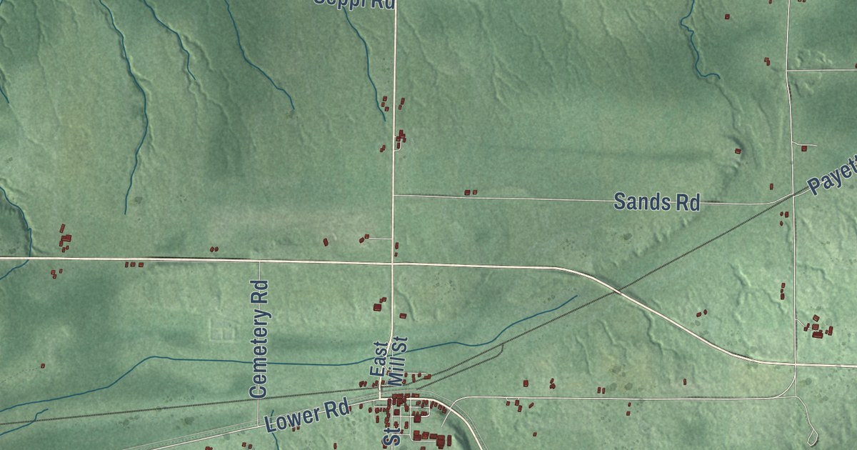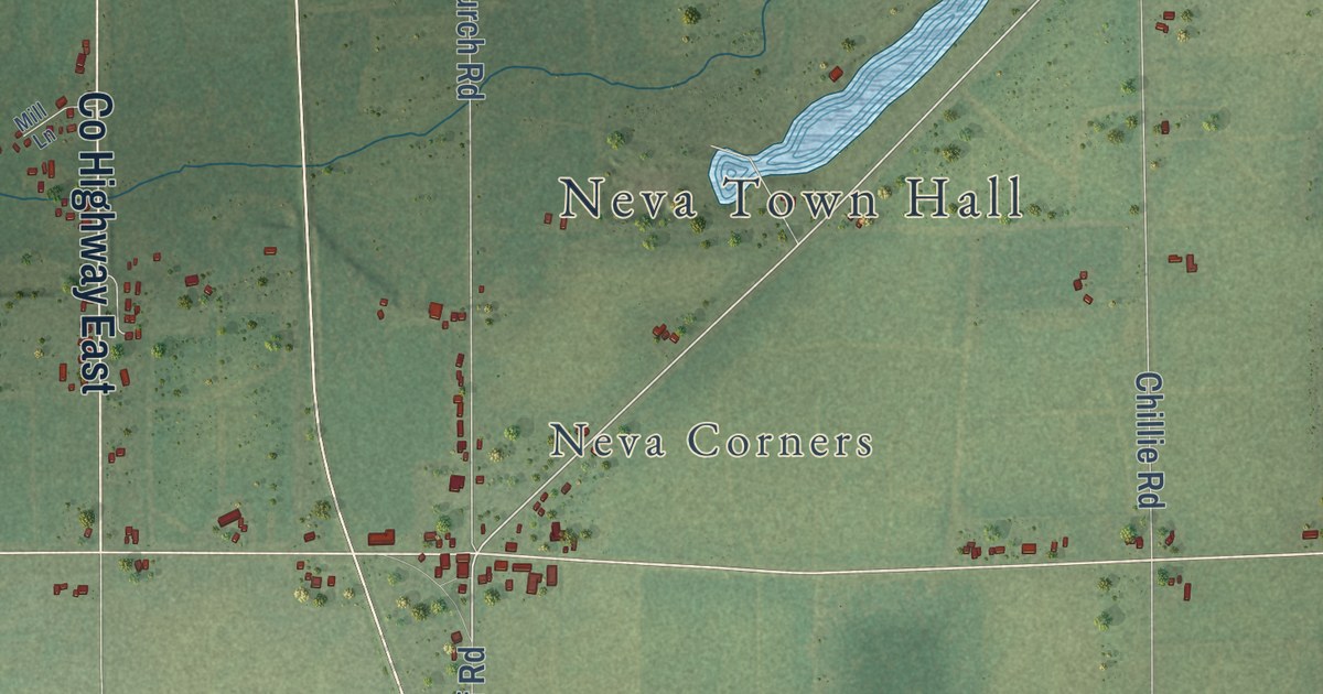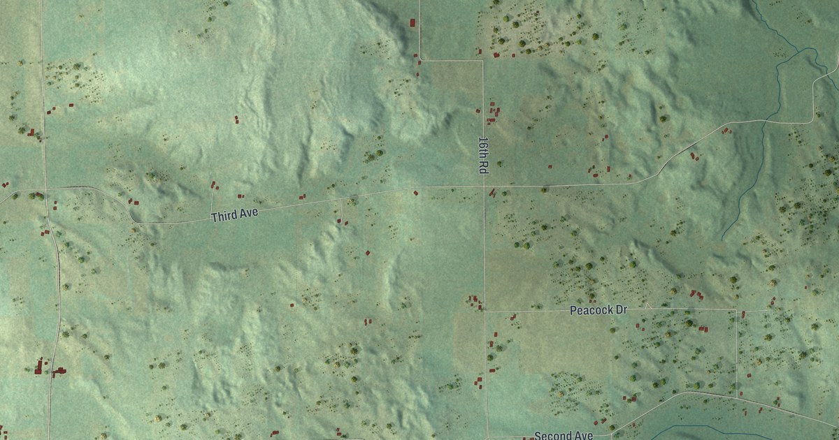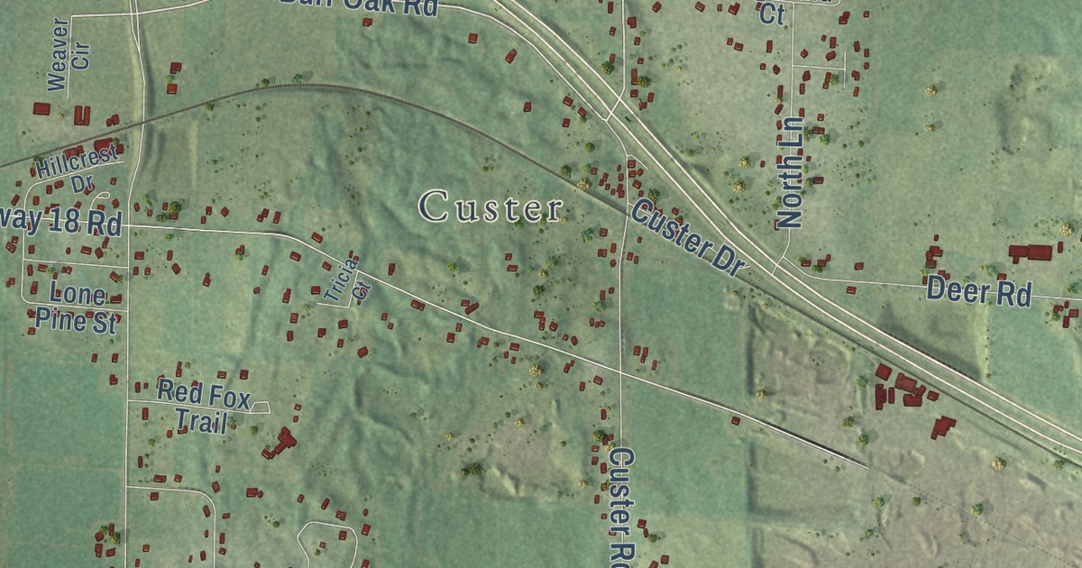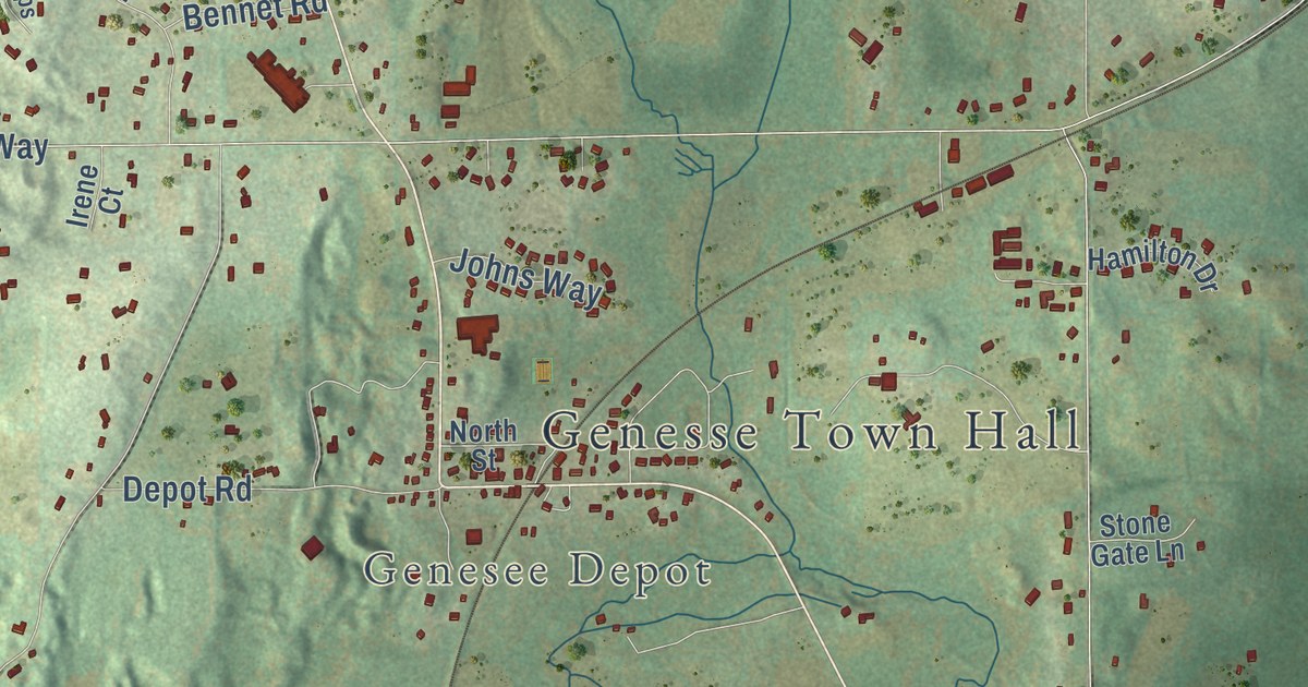
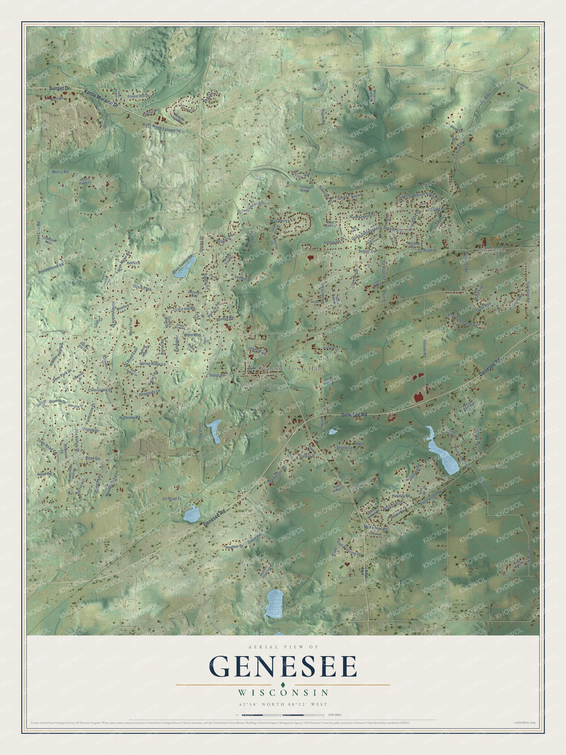
This beautifully detailed map of Genesee, Wisconsin was created in 2026 using aerial imagery combined with modern topographical, census, street and landmark data. It’s a one-of-a-kind view of Genesee that combines accurate data with a vintage aesthetic. The map shows every building in its true location, many of the roads carry their names, and the shaded topographic relief shows the shape of the land.
Explore an aerial view of Genesee, Wisconsin
On the map you’ll find Genesse Town Hall, Saylesville, Bethesda, Genesee Depot, Retzer Nature Center, Road Gg, and Town Road Gg, along with Sunset Drive, Kettle Moraine Drive, Genesee Road, Boettcher Road, County Road DT, and more. If you look closely you can even find your house accurately drawn in its correct location. Zoom in on the preview to look for yours.
Did you know this piece of Genesee, Wisconsin history?
From the Encyclopedia of Milwaukee: "The Town’s earliest settlement was Genesee Village, where the Town’s first resident, Stillman Smith, made his home in 1837."
Take a closer look at the Genesee map
Street and place names on the Genesee, Wisconsin map
These names are printed on the map of Genesee, Wisconsin.
Places: Genesse Town Hall, Saylesville, Bethesda, Genesee Depot and Retzer Nature Center.
Streets and roads: Sunset Drive, Kettle Moraine Drive, Genesee Road, Boettcher Road, Road Gg, County Road Dt, Town Road Gg, South Bethesda Circle, Snowdon Drive, Wills Barry Drive, Wern Way, County Road de.
More street names, A to Z
Ancestral Drive, Bartell Road, Bartel Road, Bennet Road, Bethania Lane, Bethesda Circle, Bethesda Road, Billings Court, Brandybrook Road, Brecon Way, Bridle Lane, Brookhill Road, Bryn Mawr Court, Bryn Mawr Road, Cambrian Ridge, Carmarthen Drive, Cedar Lane, Chipmunk Lane, Church Street, Connemara Drive, Country Glen Drive, County Road East, County Road Gd, County Road Xi, County Road Zz, Cregennan Bae, Dable Road, Davies Drive, Deer Park Drive, Dendon Court, Depot Hill Road, Depot Road, Drumlin Drive, Dugan Road, Easement, Edwards Drive, Esser Court, Fields Crossing Drive, Fieldstone Drive, Forest Hill Drive, Fox Hollow Drive, Fox Run Court, Fryatt Court, Gate Keeper Drive, Glen Hollow Lane, Green Briar Road, Grush Road, Hamilton Drive, Harvest View Drive, Hawthorne Hollow, Heather Drive, Hengen Drive, Hidden Valley Drive, High Meadow Circle, High Meadow Lane, Highview Road, Hillside Road, Holiday Road, Homestead Court, Honeysuckle Drive, Hood Parkway, Hunters Crossing, Irene Court, Jamie Court, Jarmon Court, Jarmon Road, Jenna Lane, Johns Way, Jones Drive, Journey's Way, Kamps Court, Katherine Court, Kayla Court, Kettle Ridge Court, Lilac Court, Little John Drive, Lochtyn Ridge, London Drive, Lorraine Court, Luterbach Court, Madison Street, Madrid Lane, Main Street, Mc Farlane Road, Meadowlark Lane, Meghan Court, Mesa Trail, Mickle Road, Molly Lane South, Moraine Farm Road, Moraine View Drive, Morris Road, Mumford Lane, North Bethesda Circle, North Street, North Taliesin Road, Oak Court, Olde Oak Pass, Old Mill Road, Old Village Road, Onisch Drive, Parke Lane West, Parkers Place, Perkins Road, Perren Dale Road, Pheasant Run, Point Drive, Prairie Falcon Pass, Price Court, Quail Run, Red Fox Way, Rhapsody Lane, Ridgefield Road, Ridge Valley Road, Ridgewood Drive, Road Dt, Road Ge, Roanoke Drive, Roberts Road, Rockwood Trail, Saddleback Drive, Sadie Lane, Saint Davids Drive, Saylesville Road, Seville Lane, Sierra Pass, Snow Goose Trail, Spring Ridge Court, Spring Ridge Lane, Squire Road, Stone Gate Lane, Surrey Hill Court, Sutton Ridge Court, Townline Road, Town Line Road, Valley View Road, Walnut Street, West End Lane, West Tomlin Road, Wild Berry Lane, Wild Rose Lane, Williams Way, Windcrest Drive, Wolf Road, Woodchuck Hollow, Woods Road.
See the Genesee, Wisconsin map on a wall
The Genesee map as an 18 x 24 inch print in a black frame.

This beautifully detailed map of Genesee makes an attractive addition to your office, library, or den, and it can even be used to teach children the geography and history of the area. It also makes a great gift for anyone with Genesee roots. When you’re done exploring, click here to get your copy of the Genesee map.