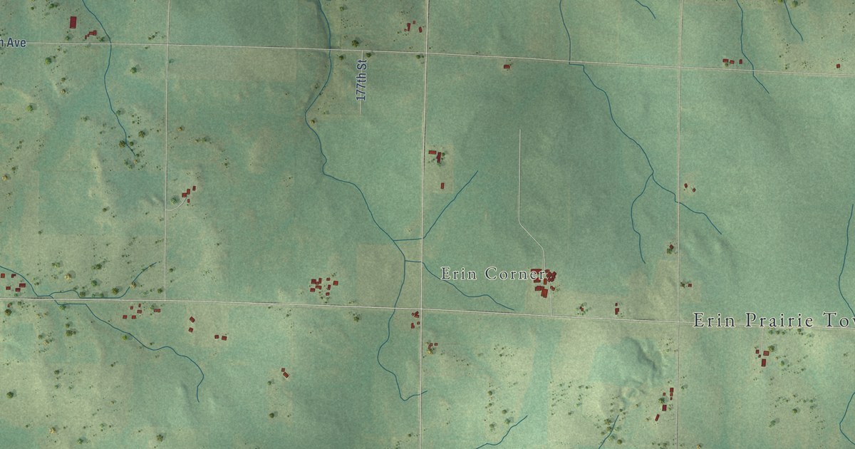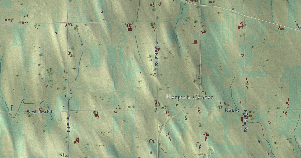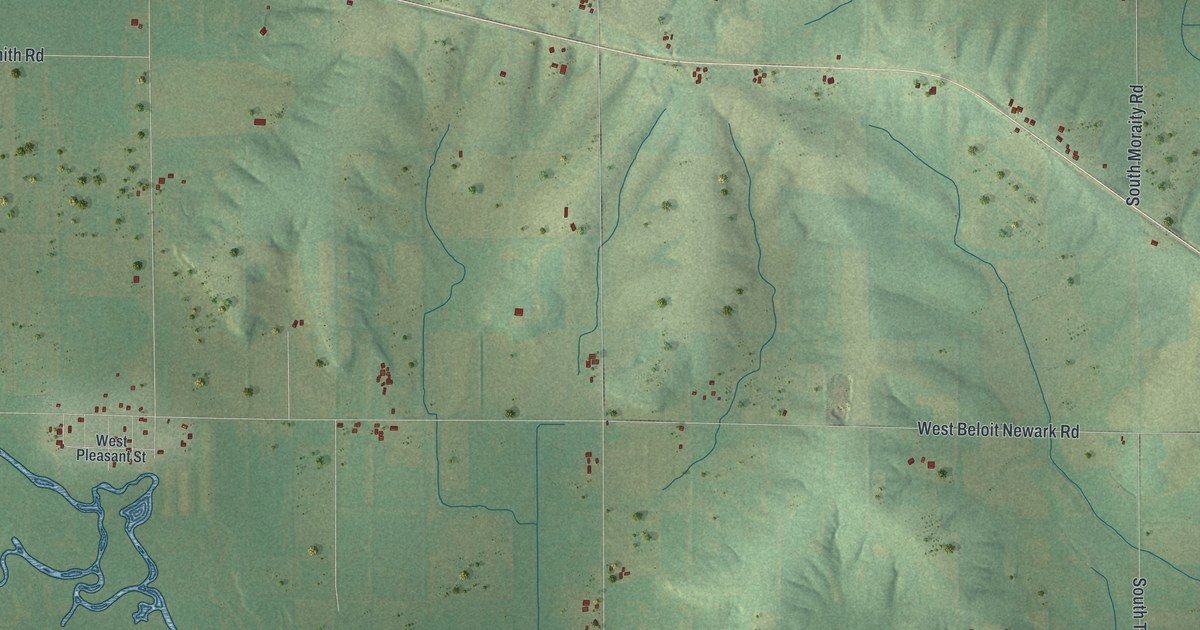
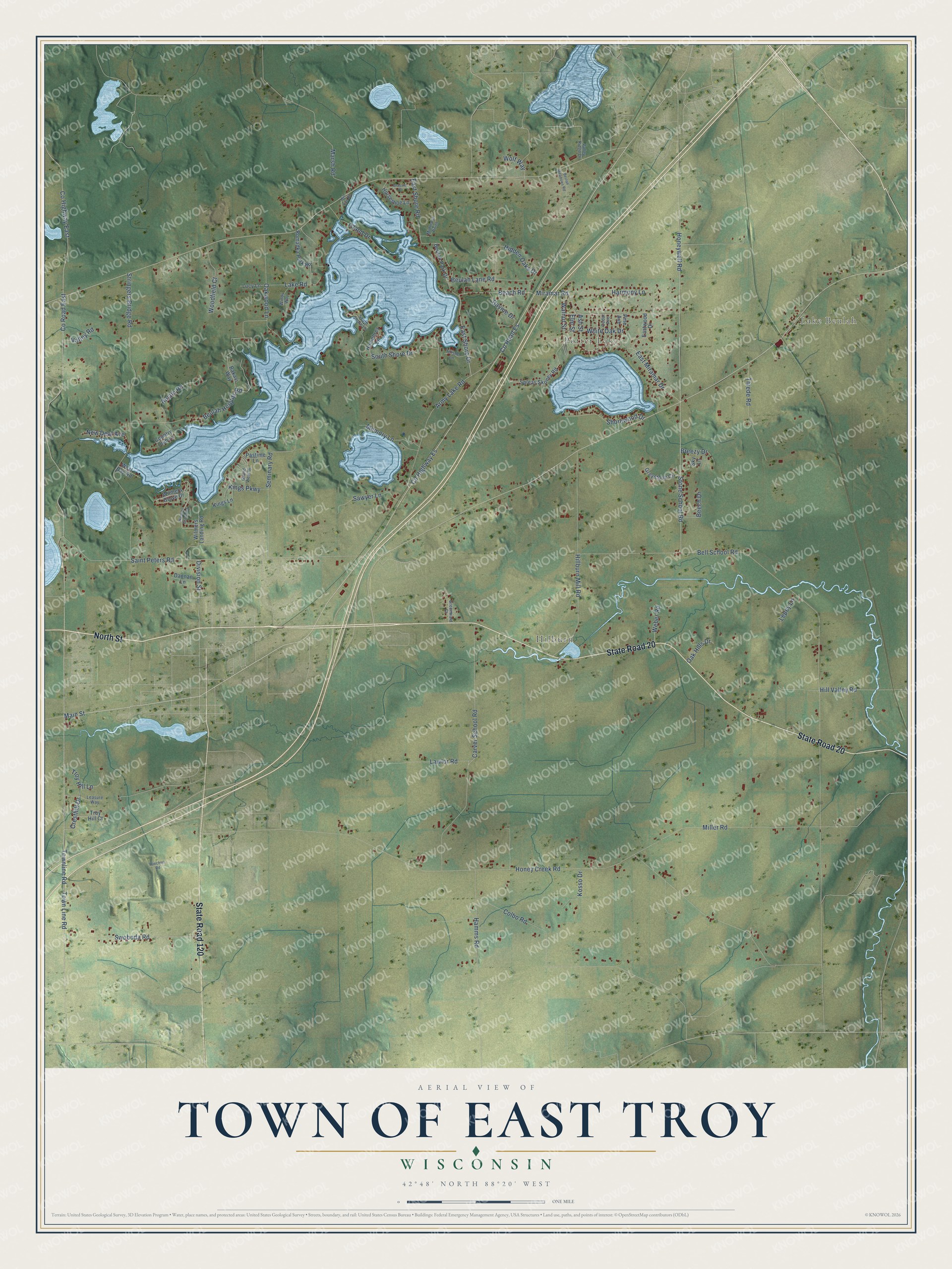
This beautifully detailed map of East Troy, Wisconsin was created in 2026 using aerial imagery combined with modern topographical, census, street and landmark data. It's a modern aerial view of East Troy in Walworth County, Wisconsin, that combines modern data with a vintage aesthetic. The roads feature printed names, and if you look closely you can find your exact house accurately shown in its correct location.
Explore an aerial view of East Troy, Wisconsin
On this map you'll find Potter Lake, Lake Beulah, Hilburn, North Street, State Road 20, State Road 120, Co Highway Es, Co Road Es, Main Street, Beach Road, Town Line Road, East Shore Drive, and more. Each red shape is a building, so zoom in on the preview and look for yours.
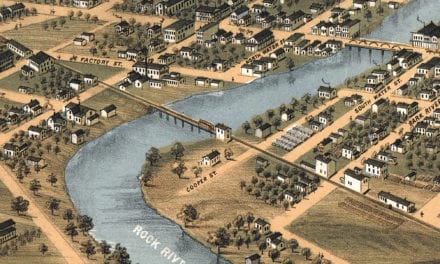
East Troy has a story worth telling. The Walworth County History puts it this way: "Daniel P. Griffin, with his family and his son-in-law, Allen Harrington and family, arrived July 4, 1836, and made a claim on Section 20, just east of the present village."
East Troy is a town in Walworth County. The Census Bureau counted 3,992 people here in 2020.
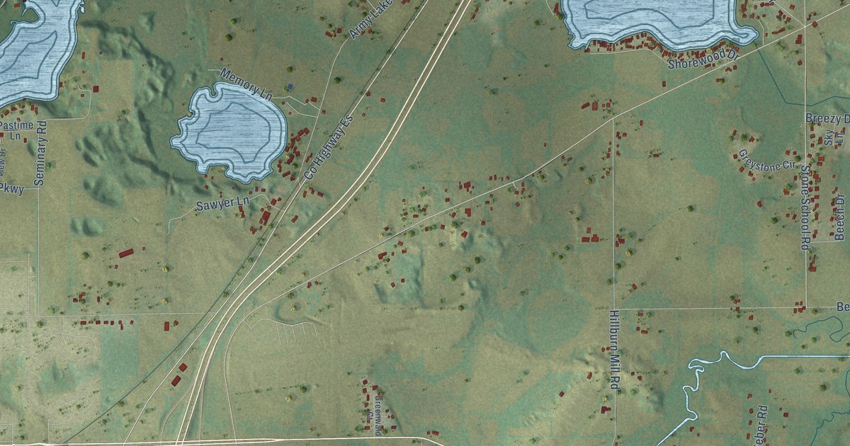
Take a closer look at the East Troy map
Names on this map
These names are printed on this map.
Places: Potter Lake, Lake Beulah and Hilburn.
Streets and roads: North Street, State Road 20, State Road 120, County Highway Es, County Road Es, Main Street, Beach Road, Town Line Road, East Shore Drive, East Miramar Drive, Hill Valley Road, Division Street.
More street names, A to Z
Army Lake Road, Ash Street, Austin Road, Bakavi Way, Beech Drive, Bell School Road, Beulah Heights Road, Beulah Lane Road, Beulah Meadows Road, Beulah Park Drive, Brassie Drive, Breezy Drive, Carver School Road, Cedar Avenue, Colbo Road, Country Club Lane, County Highway East, County Road East, Cresthill Drive, Dannan Lane, East Shore Road, Eastwood Drive, Elm Street, Grand View Drive, Greenwald Court, Greystone Circle, Hamms Road, Harmony Lane, Hidden Oaks Drive, Hillburn Mill Road, Honey Creek Road, Honeywell Road, Horseshoe Lane, Humphrey Lane, Island Drive, Kings Lane, Kings Parkway, Kosso Drive, Lake Road, Lawlor Road, Leasure Way, Lepey Lane, Lucy Lane, Marsh Road, Memory Lane, Midmans Point, Miller Road, Mill Site Road, Miramar Road, New Deal Avenue, Oak Hills Drive, Oakwood Lane, Pastime Lane, Pine Avenue, Ravine Drive, Romadka Park Road, Saint Peters Road, Sawyer Lane, Seminary Road, Shorewood Drive, Sky Lane, South Shore Drive, South Shore Lane, Spleas Skoney Road, Stone School Road, Stringers Bridge Road, Swoboda Road, Thiede Road, Thistle Lane, Townline Road, Troy Hill Court, Troy Hill Lane, Valley Ridge Drive, Valley Road, Walnut Street, Weber Road, West Bay Road, White Oak Drive, Wiechert Road, Wilmers Grove Drive, Wilmers Grove Road, Wilmers Landing Road, Windy Way, Wolf Way, Woodfield Court.
Created by KNOWOL in 2026. The buildings are small red shapes, the roads carry their printed names, and shaded relief shows the shape of the land. The title panel reads "AERIAL VIEW OF TOWN OF EAST TROY, WISCONSIN" with 42°48' NORTH 88°20' WEST.
It looks right in a kitchen, an office or a den, and it's a gift for anyone who grew up in East Troy or moved away. Open the preview and find your street. See sizes and frames for the Town of East Troy map.