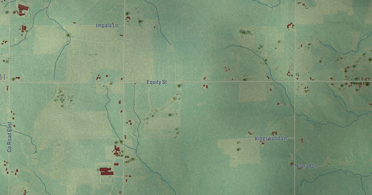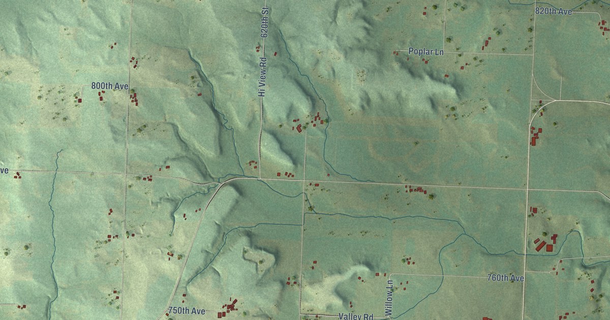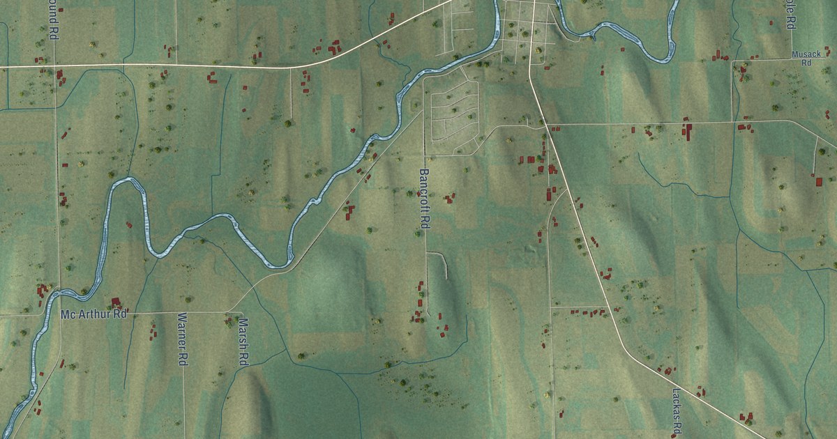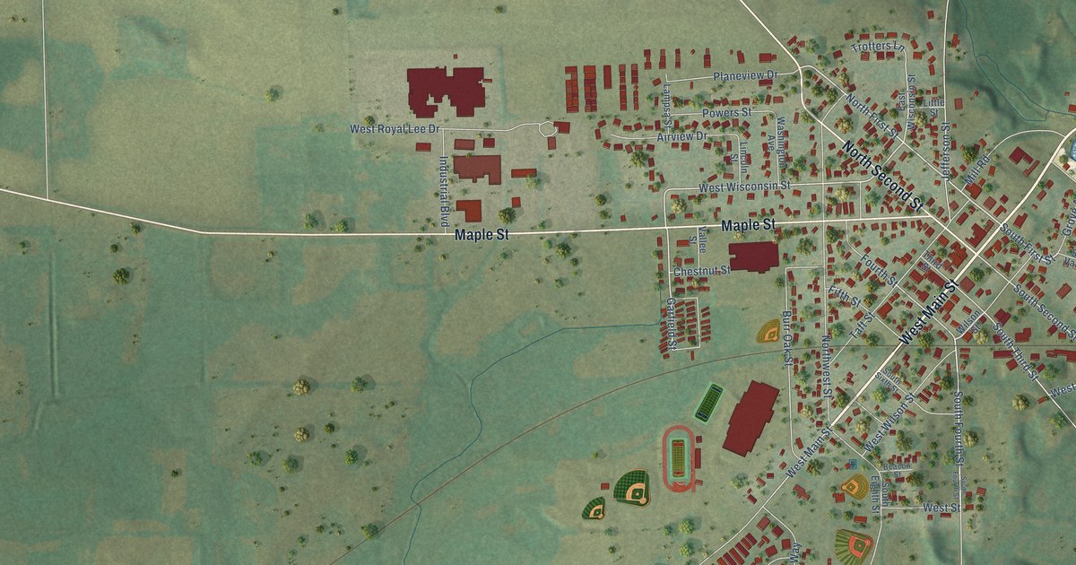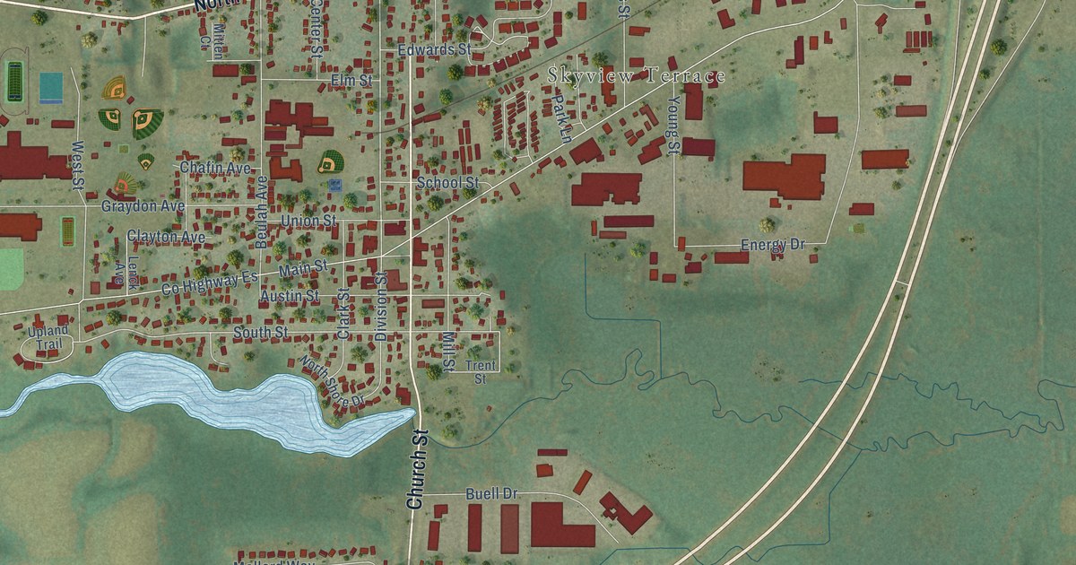
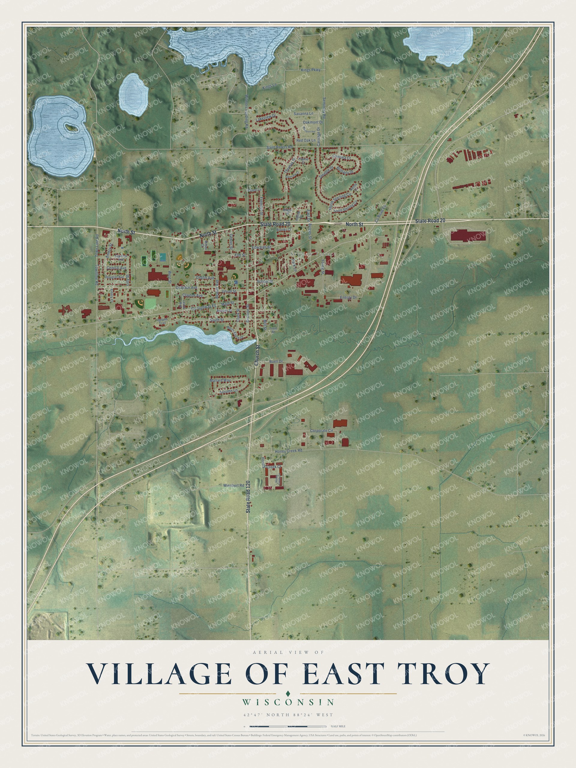
This beautifully detailed map of East Troy, Wisconsin was created in 2026 using aerial imagery combined with modern topographical, census, street and landmark data. It's a modern aerial view of East Troy in Walworth County, Wisconsin, that combines modern data with a vintage aesthetic. The roads feature printed names, and if you look closely you can find your exact house accurately shown in its correct location.
Explore an aerial view of East Troy, Wisconsin
On this map you'll find Skyview Terrace, North Street, State Road 20, State Road 120, Church Street, Main Street, Division Street, South Street, Co Highway Es, Thomas Drive, Graydon Avenue, Honey Creek Road, and more. Each red shape is a building, so zoom in on the preview and look for yours.
East Troy has a story worth telling. The East Troy Area Historical Society puts it this way: "The first school in the village of East Troy was taught by Miss Auger in 1839."
East Troy is a village in Walworth County. The Census Bureau counted 4,687 people here in 2020.
Take a closer look at the East Troy map
Names on this map
These names are printed on this map.
Places: Skyview Terrace.
Streets and roads: North Street, State Road 20, State Road 120, Church Street, Main Street, Division Street, South Street, County Highway Es, Thomas Drive, Graydon Avenue, Honey Creek Road, Saint Peters Road.
More street names, A to Z
Austin Street, Autumn Lane, Beulah Avenue, Brittany Drive, Brooks Court, Buell Drive, Byrnes Street, Carriage Drive, Center Street, Central Avenue, Chafin Avenue, Chelsea Court, Clark Street, Clayton Avenue, Corporate Circle, County Road Es, Douglas Avenue, East Drive, Edwards Street, Elm Street, Emery Court, Emery Street, Energy Drive, Fremont Street, Glenview Court, Hilltop Drive, Honey Creek Circle, Honey Creek Court, Kettle Court, Kings Lane, Kings Parkway, Klovar Lane, Lakeview Drive, Lenck Avenue, Lilly Street, Mallard Way, Mapleton Avenue, Mill Street, Mitten Court, North Shore Drive, North Sterling Circle, Oakmont Drive, Park Lane, Prairie Court, Red Oak Lane, Ridge Drive, Savanna Lane, School Street, Seminary Road, South Sterling Circle, Steeple Drive, Superior Avenue, Town Line Road, Townline Road, Trent Street, Union Street, Upland Trail, West Street, Wiechert Road, Wilmers Landing Road, Young Street.
Created by KNOWOL in 2026. The buildings are small red shapes, the roads carry their printed names, and shaded relief shows the shape of the land. The title panel reads "AERIAL VIEW OF VILLAGE OF EAST TROY, WISCONSIN" with 42°47' NORTH 88°24' WEST.
It looks right in a kitchen, an office or a den, and it's a gift for anyone who grew up in East Troy or moved away. Open the preview and find your street. See sizes and frames for the East Troy map.