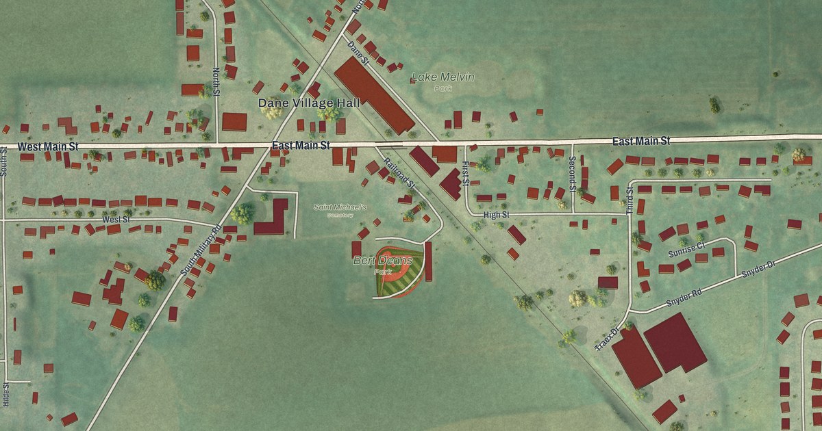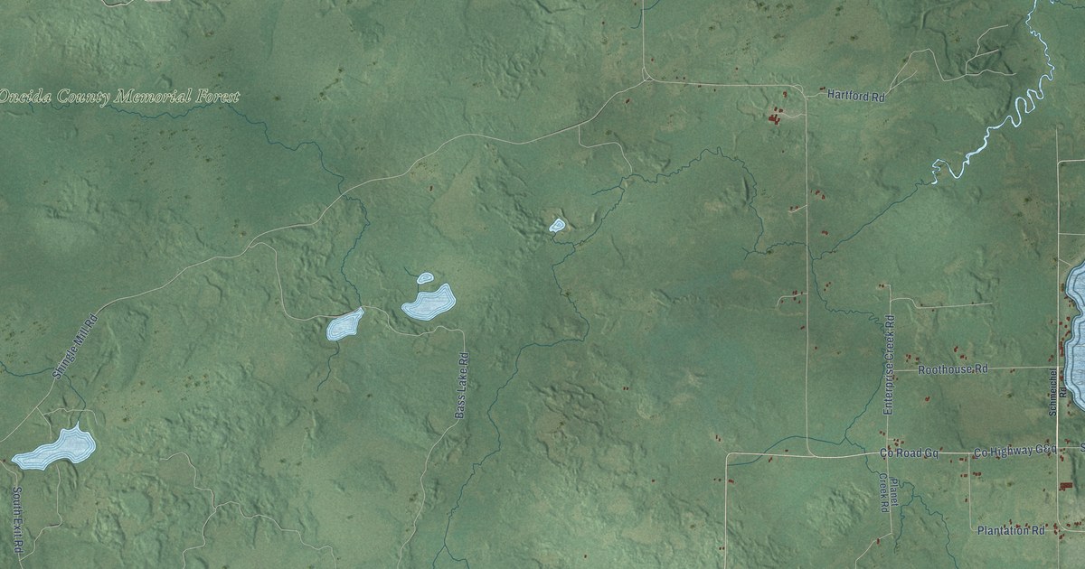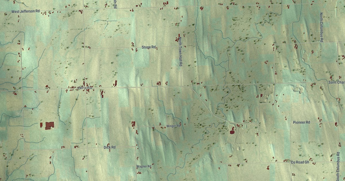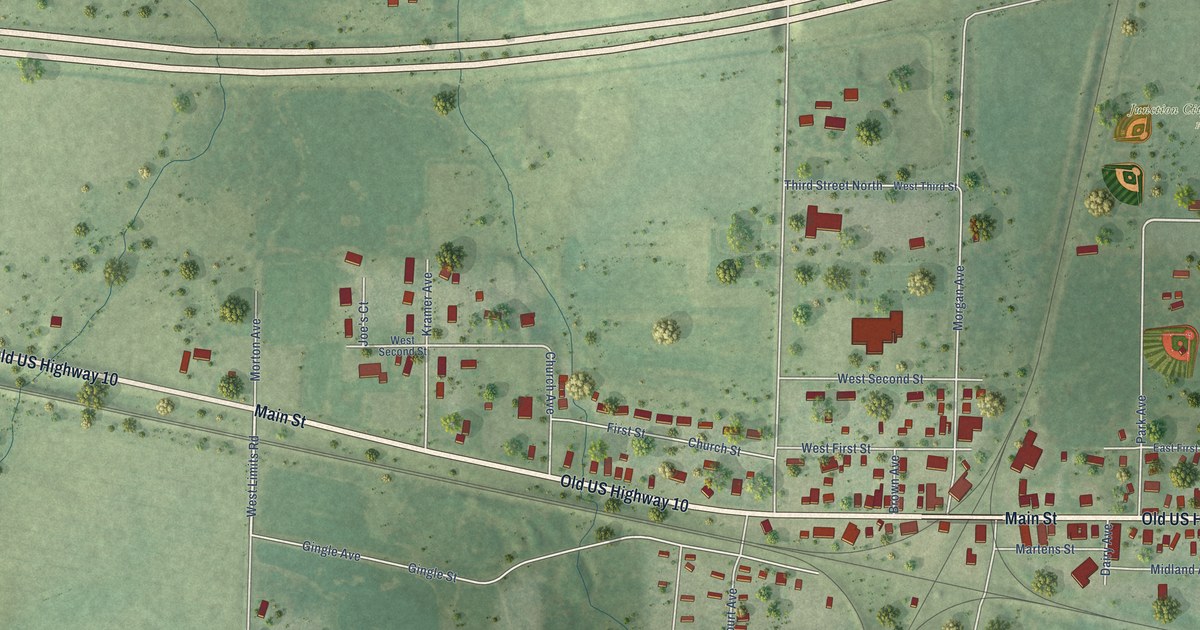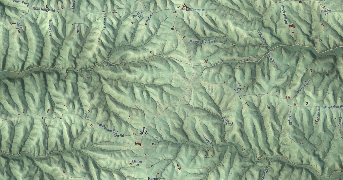
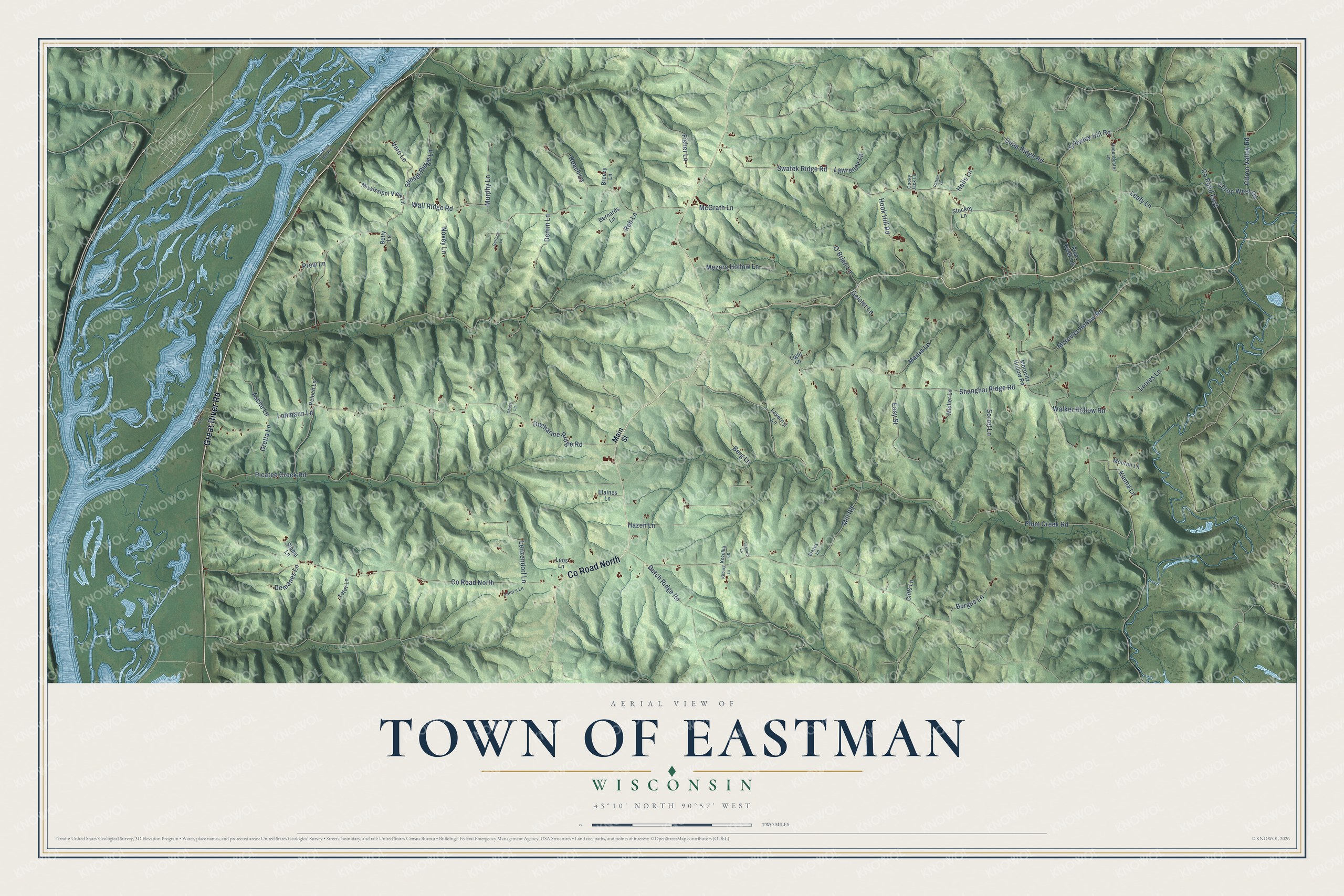
This beautifully detailed map of Eastman, Wisconsin was created in 2026 using aerial imagery combined with modern topographical, census, street and landmark data. It's a modern aerial view of Eastman in Crawford County, Wisconsin, that combines modern data with a vintage aesthetic. The roads feature printed names, and if you look closely you can find your exact house accurately shown in its correct location.
Explore an aerial view of Eastman, Wisconsin
On this map you'll find Co Road North, Great River Road, Shanghai Ridge Road, Wall Ridge Road, Plum Creek Road, Swatek Ridge Road, Ducharme Ridge Road, Picatee Creek Road, Walker Hollow Road, Duha Ridge Road, Hazen Lane, Morovits Hollow Road, and more. Each red shape is a building, so zoom in on the preview and look for yours.
Eastman has a story worth telling. The Crawford County History puts it this way: "The town of Eastman was organized in 1855, and the first town election held April 3d, that year, at the school house in district No. 2, on section 18, town 8, of range 5 west."
Eastman is a town in Crawford County. The Census Bureau counted 731 people here in 2020.
Take a closer look at the Eastman map
Names on this map
These names are printed on this map.
Streets and roads: County Road North, Great River Road, Shanghai Ridge Road, Wall Ridge Road, Plum Creek Road, Swatek Ridge Road, Ducharme Ridge Road, Picatee Creek Road, Walker Hollow Road, Duha Ridge Road, Hazen Lane, Morovits Hollow Road.
More street names, A to Z
Asche Lane, Berg Lane, Bernards Lane, Betty Lane, Blazek Lane, Breezy Lane, Burgus Lane, Check Lane, Citron Valley Road, Citron West Road, Cliffs Lane, Cooky Jack Lane, County Road East, Crowley Hill Road, Demanes Lane, Denim Lane, Dudenbostel Lane, Dutch Ridge Road, Easy Street, Elaines Lane, Fisher Lane, Geisler Lane, Gerlach Lane, Gordons Bay Road, Gretta Lane, Halls Lane, Hook Hill Road, John's Lane, Kilburg Lane, Klema Lane, Kozelka Lane, Lavern's Lane, Lawrence Lane, Leafy Lane, Lenzendorf Lane, Leos Lane, Lessard Lane, Light Lane, Lohmann Lane, Louies Lane, Main Street, Martin Lane, McGrath Lane, Meiller Lane, Mezera Hollow Lane, Mill Road, Mississippi View Lane, Monroe Lane, Morovitz Hollow Road, Murphy Lane, Novey Lane, O'Brien Lane, Patten Lane, Peloch Lane, Pine Creek Lane, Pirates Lane, Prew Lane, Reb Lane, Roach Lane, Slama Lane, Sorrel Lane, Stuckey Lane, Sunset Ridge Lane, Teter Lane, Varo Lane.
Created by KNOWOL in 2026. The buildings are small red shapes, the roads carry their printed names, and shaded relief shows the shape of the land. The title panel reads "AERIAL VIEW OF TOWN OF EASTMAN, WISCONSIN" with 43°10' NORTH 90°57' WEST.
It looks right in a kitchen, an office or a den, and it's a gift for anyone who grew up in Eastman or moved away. Open the preview and find your street. See sizes and frames for the Town of Eastman map.