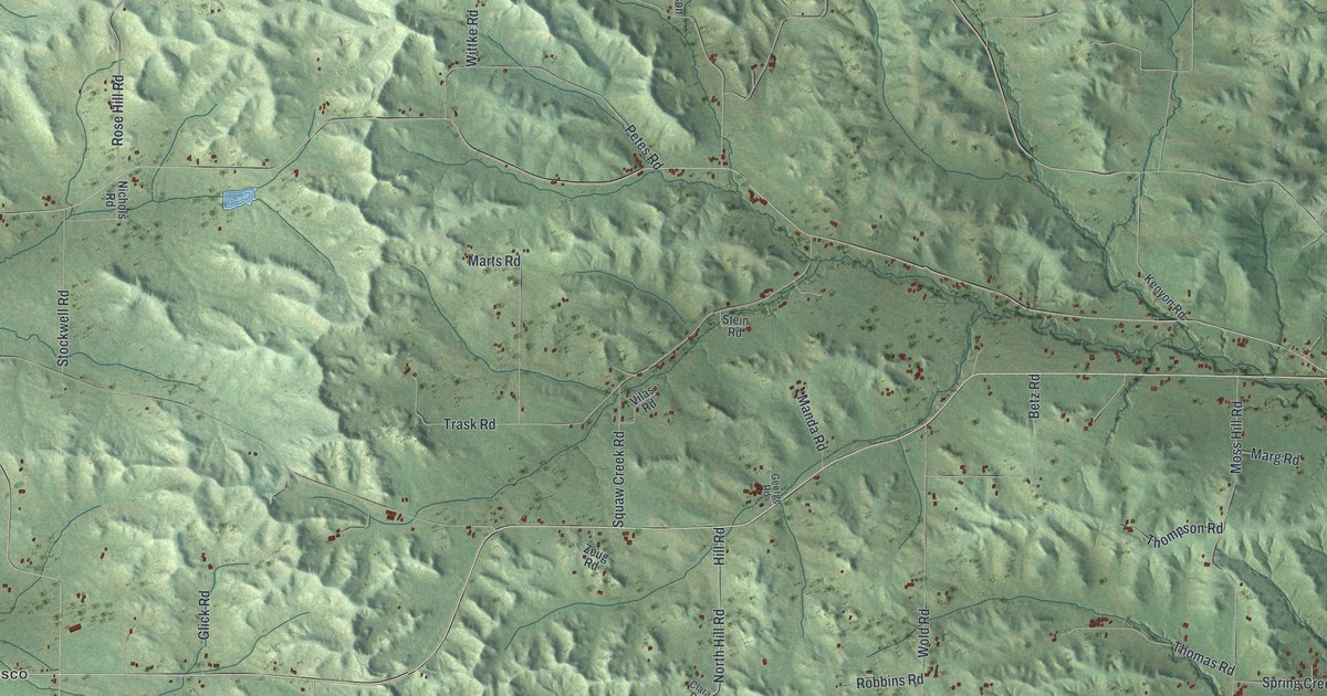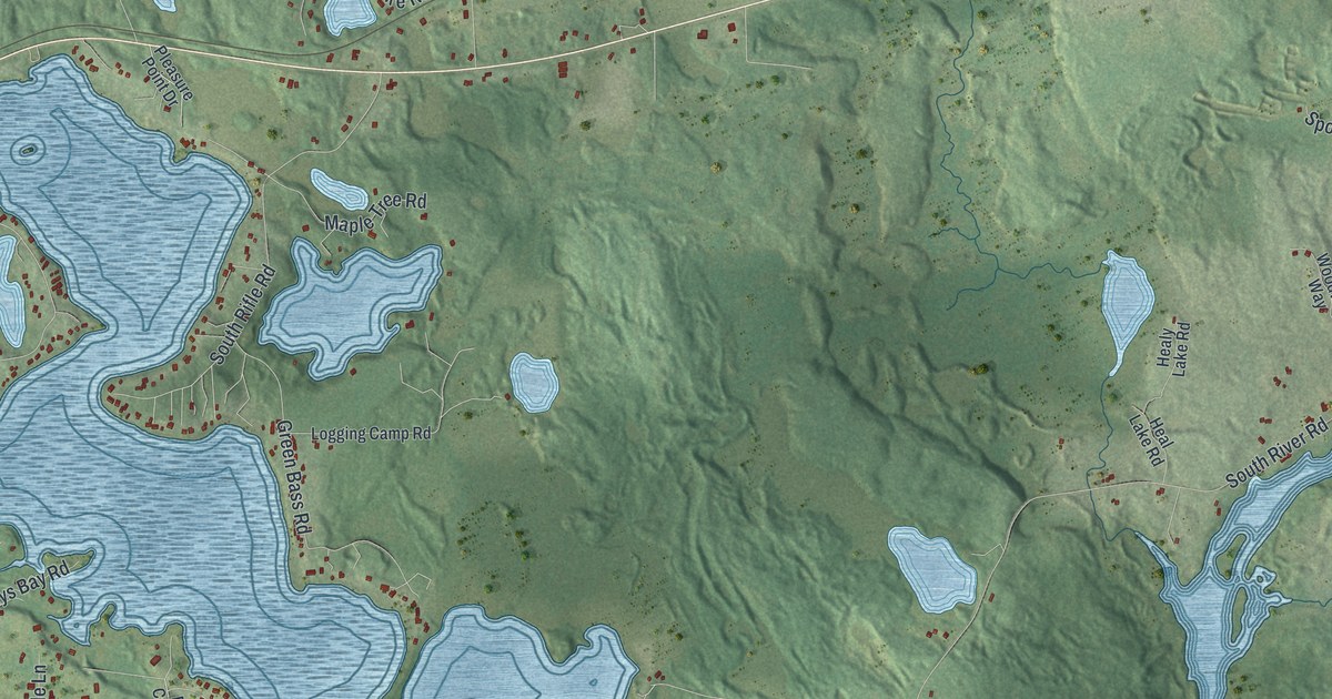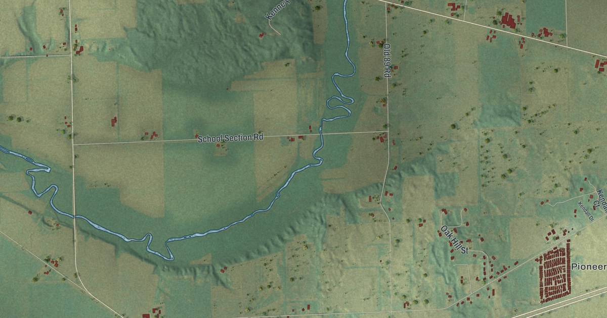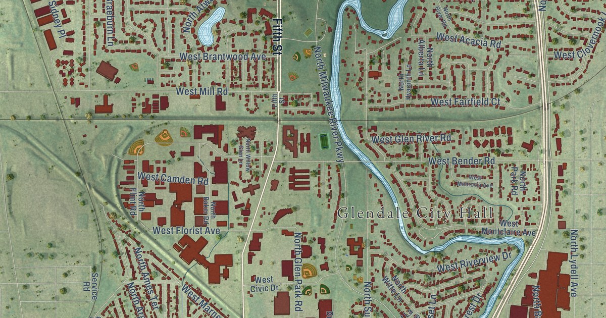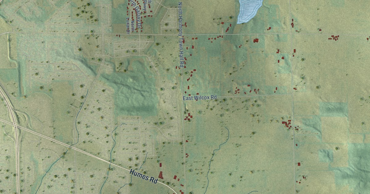
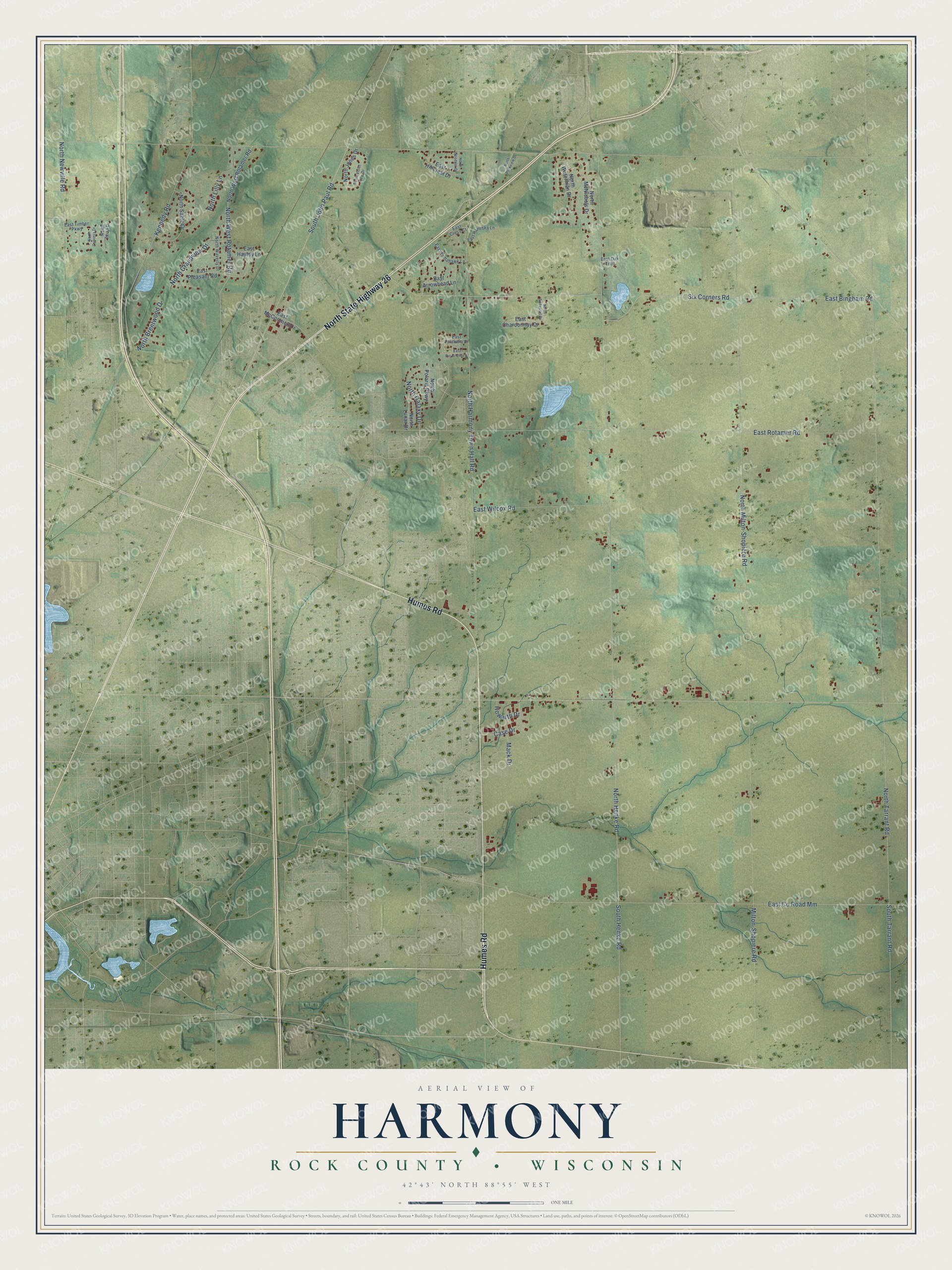
This beautifully detailed map of Harmony, Wisconsin was created in 2026 using aerial imagery combined with modern topographical, census, street and landmark data. It's a modern aerial view of Harmony in Rock County, Wisconsin, that combines modern data with a vintage aesthetic. The roads feature printed names, and if you look closely you can find your exact house accurately shown in its correct location.
Explore an aerial view of Harmony, Wisconsin
On this map you'll find Humes Road, North State Highway 26, North Henke Road, North West Rotamer Road, South Henke Road, North Tarrant Road, North Milton-Shopiere Road, East Bingham Road, Six Corners Road, North Harmony Town Hall Road, East Rotamer Road, East Co Road Mm, and more. Each red shape is a building, so zoom in on the preview and look for yours.
Harmony has a story worth telling. The Rock County a New History puts it this way: "This town was first settled by Mr. Daniel Richardson in 1837, he building a shanty on section 17, but soon after, in company with Charles and Alexander Hart, located permanently in section 24."
Harmony is a town in Rock County. The Census Bureau counted 2,569 people here in 2020.
Take a closer look at the Harmony map
Names on this map
These names are printed on this map.
Streets and roads: Humes Road, North State Highway 26, North Henke Road, North West Rotamer Road, South Henke Road, North Tarrant Road, North Milton-Shopiere Road, East Bingham Road, Six Corners Road, North Harmony Town Hall Road, East Rotamer Road, East County Road Mm.
More street names, A to Z
Case Drive, East Arrowhead Lane, East Chardonnay Drive, East Cress Court, East Hanuska Lane, East Hayley Lane, East Hillcrest Drive, East McCormick Drive, East Oak Trail, East Palakwia Drive, East Pic-A-Dilly Drive, East Pleasant Road, East Timber Parkway, East Tomahawk Lane, East Wilcox Road, Howarth Drive, Kennedy Road, Mack Drive, Milton-Shopiere Road, North Brentwood Drive, North Cypress Drive, North Galaxy Drive, North Goodger Drive, North Grandview Drive, North Jones Drive, North Lilly Lane, North Lunar Drive, North McNichols Drive, North Newville Road, North Parkview Drive, North Polaris Parkway, North Sable Drive, North Terra Drive, North Violet View Drive, North Waterman Drive, North Waverly Drive, North Zinfandel Drive, South John Paul Road, South Tarrant Road.
Created by KNOWOL in 2026. The buildings are small red shapes, the roads carry their printed names, and shaded relief shows the shape of the land. The title panel reads "AERIAL VIEW OF HARMONY, ROCK COUNTY • WISCONSIN" with 42°43' NORTH 88°55' WEST.
It looks right in a kitchen, an office or a den, and it's a gift for anyone who grew up in Harmony or moved away. Open the preview and find your street. See sizes and frames for the Harmony, Rock County map.