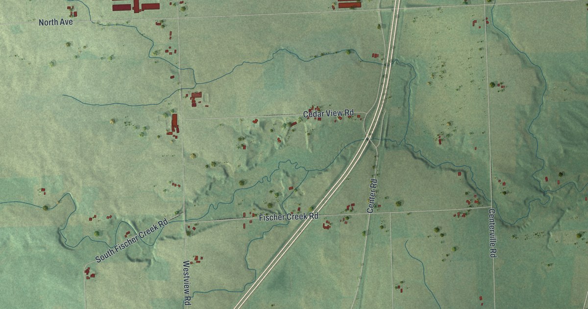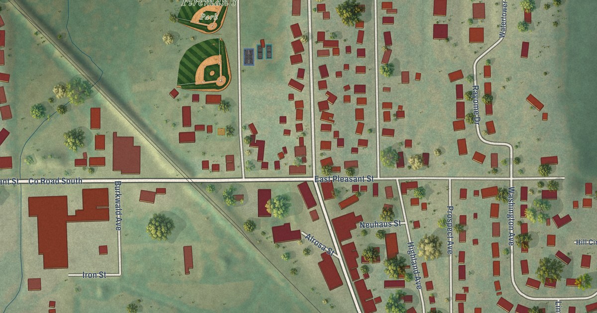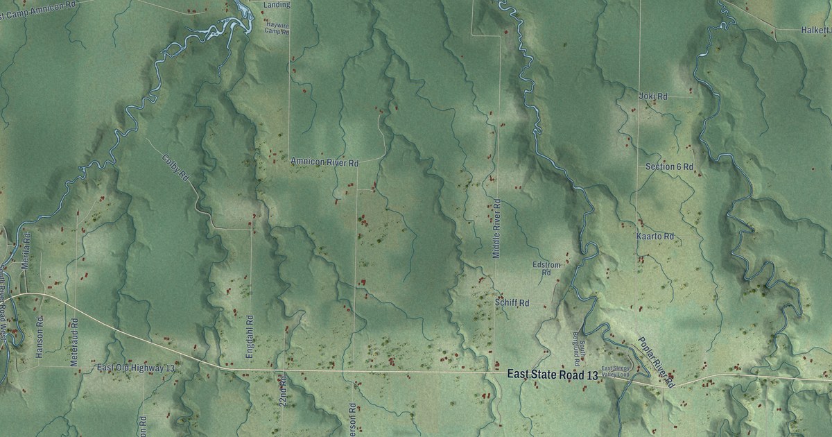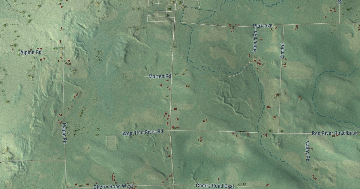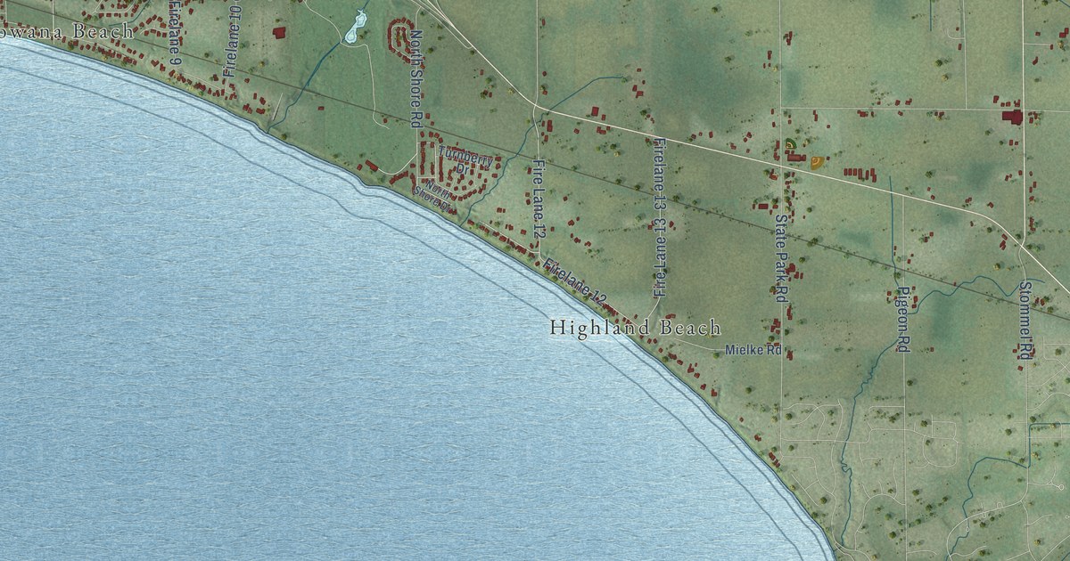
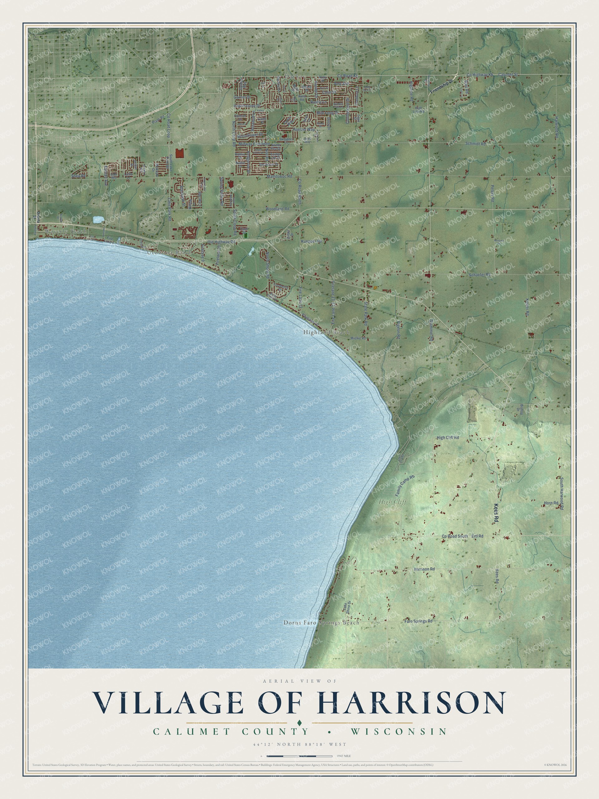
This beautifully detailed map of Harrison, Wisconsin was created in 2026 using aerial imagery combined with modern topographical, census, street and landmark data. It's a modern aerial view of Harrison in Calumet County, Wisconsin, that combines modern data with a vintage aesthetic. The roads feature printed names, and if you look closely you can find your exact house accurately shown in its correct location.
Explore an aerial view of Harrison, Wisconsin
On this map you'll find High Cliff State Park, Darboy, Dorns Faro Springs Beach, Highland Beach, Utowana Beach, Waverly Beach, Kees Road, Calumet Street, Co Road Kk, Co Highway Kk, Lake Park Road, Kernan Avenue, and more. Each red shape is a building, so zoom in on the preview and look for yours.
Harrison is a village in Calumet County. The Census Bureau counted 12,418 people here in 2020. The map prints the town name in its title panel, with the coordinates below it.
Take a closer look at the Harrison map
Names on this map
These names are printed on this map.
Places: High Cliff State Park, Darboy, Dorns Faro Springs Beach, Highland Beach, Utowana Beach and Waverly Beach.
Streets and roads: Kees Road, Calumet Street, County Road Kk, County Highway Kk, Lake Park Road, Kernan Avenue, County Road Loop, Manitowoc Road, State Park Road, Harrison Road, Schmidt Road, Faro Springs Road.
More street names, A to Z
Alder Way, Amy Avenue, Arnold Drive, Bailey Drive, Bies Road, Bishop Drive, Blackoak Street, Camron Drive, Chadbury Lane, Cliff Drive, Colin Street, County Road North, County Road South, Crystal Drive, Cumberland Drive, Dahlia Drive, Daisy Court, Darboy Drive, Dusty Drive, Easter Lily Drive, Ertl Road, Evan Street, Family Camp Road, Firelane 1, Fire Lane 3, Fire Lane 4, Firelane 4, Firelane 6, Firelane 9, Firelane 10, Fire Lane 12, Firelane 12, Fire Lane 13, Firelane 13, Friendship Drive, Garnet Drive, Geranium Drive, Golden Way, Handel Drive, Harwood Road, Hearthstone Drive, Hedgerow Drive, Hidden Trail Lane, High Cliff Road, Highline Road, High Line Road, Hoelzel Way, Holly Street, Horn Road, Jessica Lane, Jones Way, Jordan Street, Kesler Road, Kuepper Road, Lake Shore Drive, Lilac Road, Lower Cliff Road, Lydia Lane, Macky Drive, Mary Drive, McKayla Drive, Merbach Road, Midway Extended, Mielke Road, Mile Long Drive, Moonflower Drive, Nettie Drive, Noe Road, North Coop Road, North Shore Drive, North Shore Road, Oak Lawn Drive, Old Highway Road, Oneida Street, Opal Court, Otte Court, Papermaker Pass, Parker Way, Peters Road, Pigeon Road, Plank Road, Rosebud Lane, Rustic Lane, Ryan Street, Sara Lane, Schaefer Road, Shea Road, Skippers Lane, South Coop Road, South Harwood Road, South Lake Park Road, Spring Valley Road, State Park Court, Stommel Road, Sugar Maple Way, Sweet Clover Drive, Sweet Pea Drive, Touchdown Drive, Turnberry Drive, Tyler Lane, Valley Lane, Vans Road, Willow Lane, Woodland Road, Zach Street, Zirbel Drive.
Created by KNOWOL in 2026. The buildings are small red shapes, the roads carry their printed names, and shaded relief shows the shape of the land. The title panel reads "AERIAL VIEW OF VILLAGE OF HARRISON, CALUMET COUNTY • WISCONSIN" with 44°12' NORTH 88°18' WEST.
It looks right in a kitchen, an office or a den, and it's a gift for anyone who grew up in Harrison or moved away. Open the preview and find your street. See sizes and frames for the Harrison map.