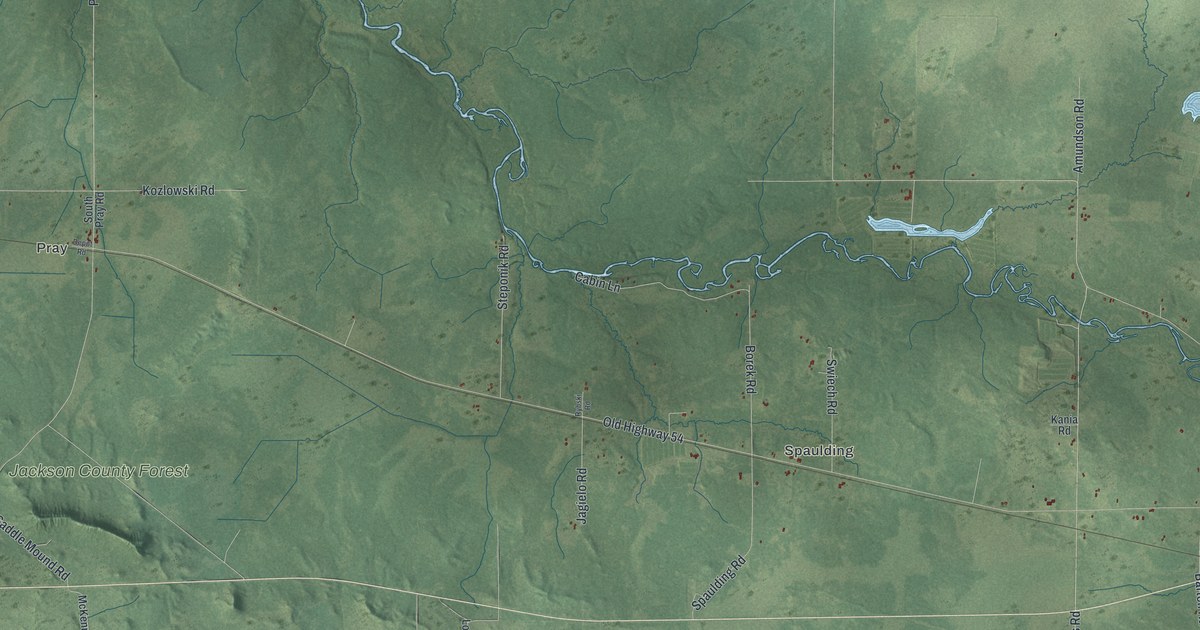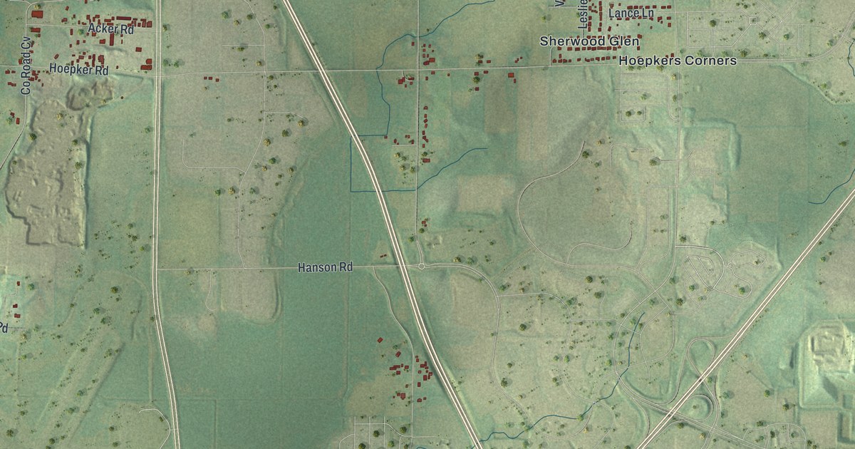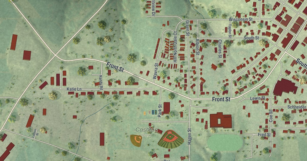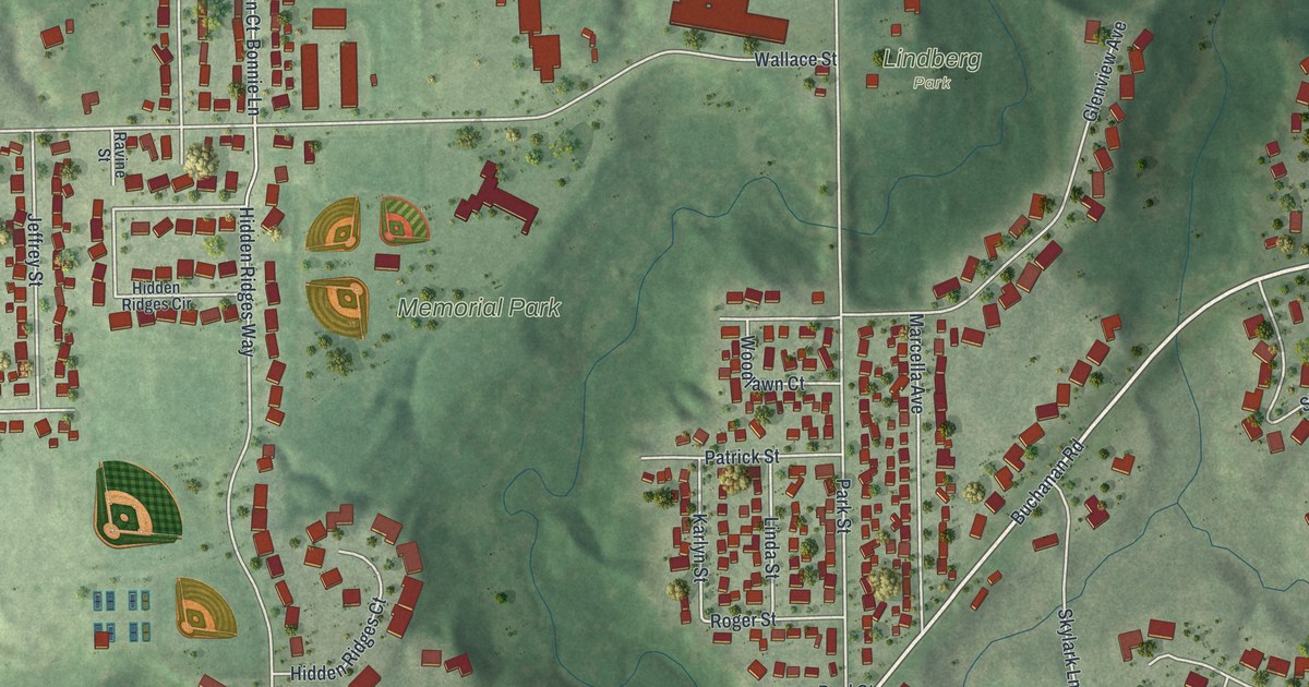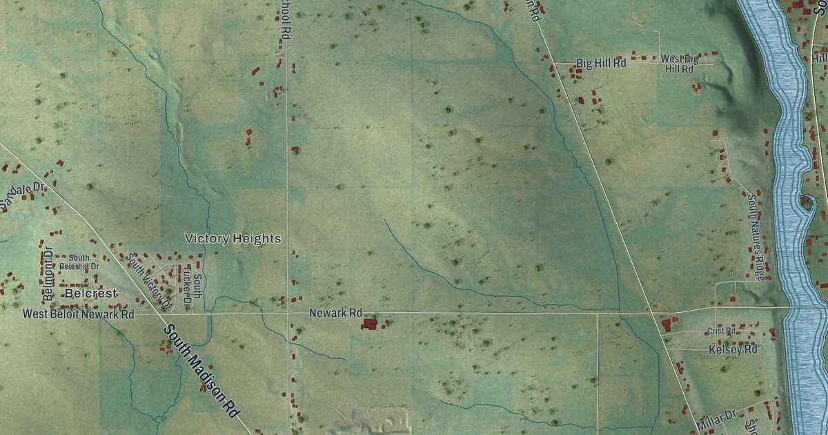
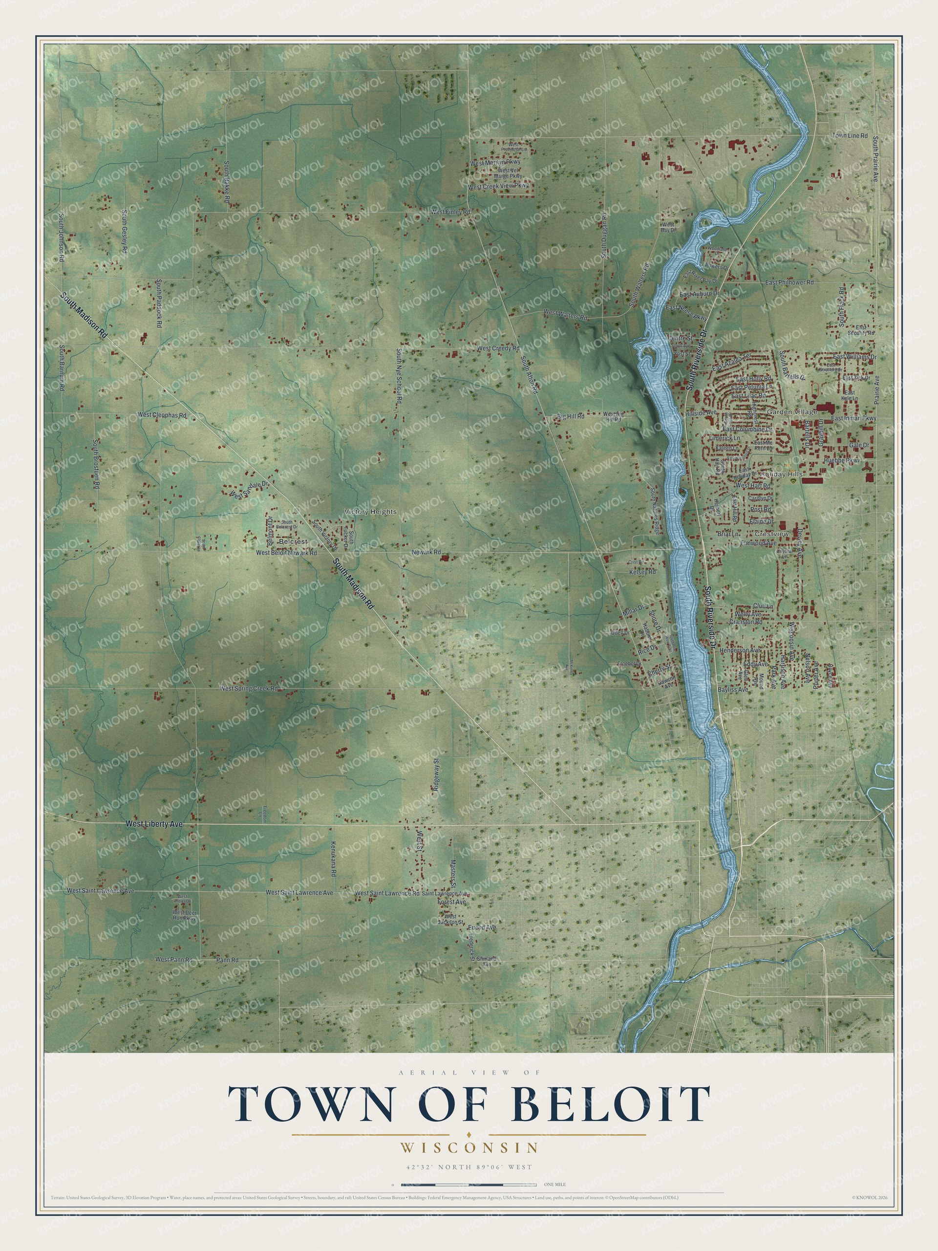
This beautifully detailed map of Beloit, Wisconsin was created in 2026 using aerial imagery combined with modern topographical, census, street and landmark data. It's a modern aerial view of Beloit in Rock County, Wisconsin, that combines modern data with a vintage aesthetic. The roads feature printed names, and if you look closely you can find your exact house accurately shown in its correct location.
Explore an aerial view of Beloit, Wisconsin
On this map you'll find Garden Village, Holiday Hills, Crestview, Victory Heights, Belcrest, South Riverside Drive, South Madison Road, West Liberty Avenue, Town Line Road, South Afton Road, South Prairie Avenue, West Street, and more. Each red shape is a building, so zoom in on the preview and look for yours.
Beloit is a town in Rock County. The Census Bureau counted 7,721 people here in 2020. The map prints the town name in its title panel, with the coordinates below it.
Take a closer look at the Beloit map
Names on this map
These names are printed on this map.
Places: Garden Village, Holiday Hills, Crestview, Victory Heights and Belcrest.
Streets and roads: South Riverside Drive, South Madison Road, West Liberty Avenue, Town Line Road, South Afton Road, South Prairie Avenue, West Street, Big Hill Road, South Paddock Road, West Finley Road, West Creedy Road, West Spring Creek Road.
More street names, A to Z
Bartells Drive, Bayliss Avenue, Belmont Drive, Briar Lane, Carolyn Drive, Centre Street, Cherry Street, Club Lane, Cranston Road, Crist Road, Crystal Lane, Dawson Avenue, Dewey Avenue, East Auburn Drive, East Azalea Terrace, East Columbine Drive, East Hill Road, East Holiday Drive, East Holly Road, East Inman Parkway, East Kyle Lane, East Lilac Road, East Mc Kern Lane, East Neese Parkway, East Petunia Lane, East Philhower Road, East River Bay Drive, East Security Road, East Stratford Drive, East Waterford Drive, East Williams Drive, East Zick Drive, Eddy Avenue, Elaine Drive, Elmwood Avenue, Euclid Avenue, Forest Avenue, Frederick Street, Freedom Lane, Froebel Drive, Gale Drive, Glen Avenue, Graybill Drive, Haborn Drive, Harrison Avenue, Henderson Avenue, Herbert Drive, Highcrest Road, Hillside Avenue, Huebbe Parkway, Kaleen Lane, Kelsey Road, Kenukana Road, Limerick Lane, Masters Street, McKinley Avenue, Millar Drive, Mound Avenue, Nelson Avenue, Newark Road, Pann Road, Park Avenue, Porter Avenue, Post Road, Powers Drive, Prairie Avenue, Rice Drive, Ridgeway Street, Royce Avenue, Saint Lawrence Avenue, Shirland Avenue, Shore Drive, South Avenue, South Bakke Road, South Barnum Road, South Bartells Drive, South Belcrest Drive, South Brostuen Road, South Clover Lane, South Duggan Road, South Flack Road, South Gesley Road, South Hart Road, South Iris Drive, South Johnson Road, South Natures Ridge, South Nye School Road, South Pow Wow Trail, South Tucker Drive, South Victory Drive, South Walters Road, Udell Drive, Welty Avenue, West Antler Drive, West Bay Drive, West Beloit Newark Road, West Big Hill Road, West Cleophas Road, West Creek View Parkway, West Deer Run Parkway, West Hart Road, West Jackson Street, West Marilyn Parkway, West Pann Road, West Provincial Lane, West Saint Lawrence Avenue, West Saint Lawrence Road, West Sandale Drive, West Vel Marge Parkway, West Walters Road, Wisconsin Avenue, Woodland Drive, Yost Street.
Created by KNOWOL in 2026. The buildings are small red shapes, the roads carry their printed names, and shaded relief shows the shape of the land. The title panel reads "AERIAL VIEW OF TOWN OF BELOIT WISCONSIN" with 42°32' NORTH 89°06' WEST.
It looks right in a kitchen, an office or a den, and it's a gift for anyone who grew up in Beloit or moved away. Open the preview and find your street. See sizes and frames for the Town of Beloit map.