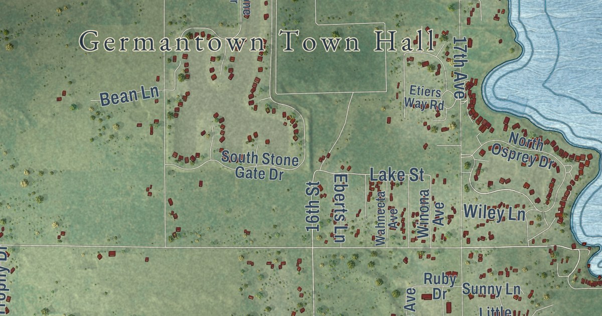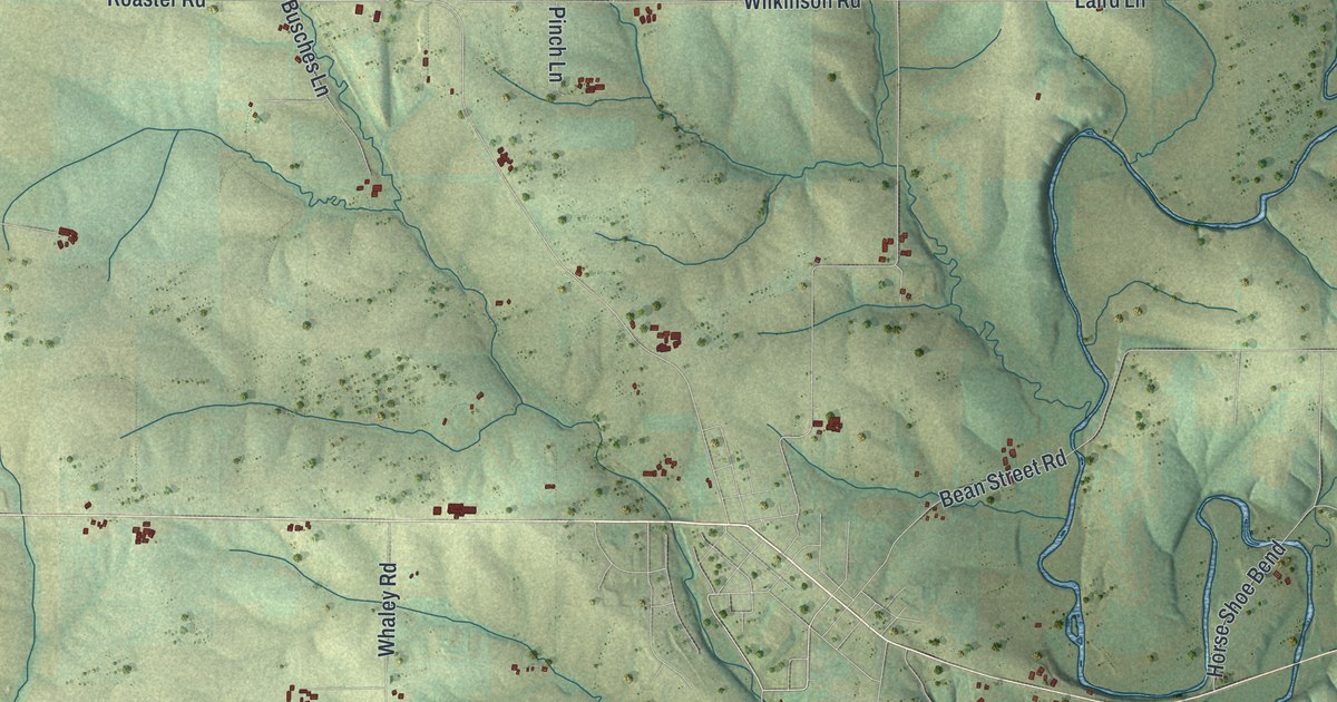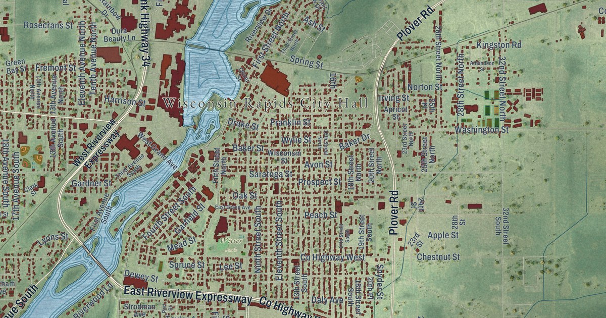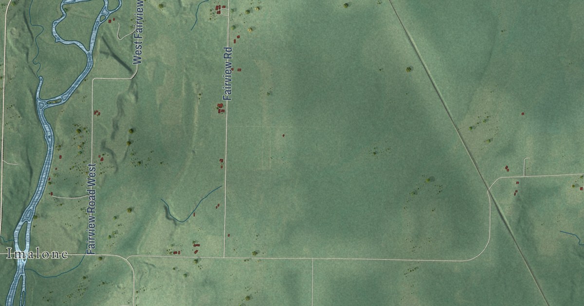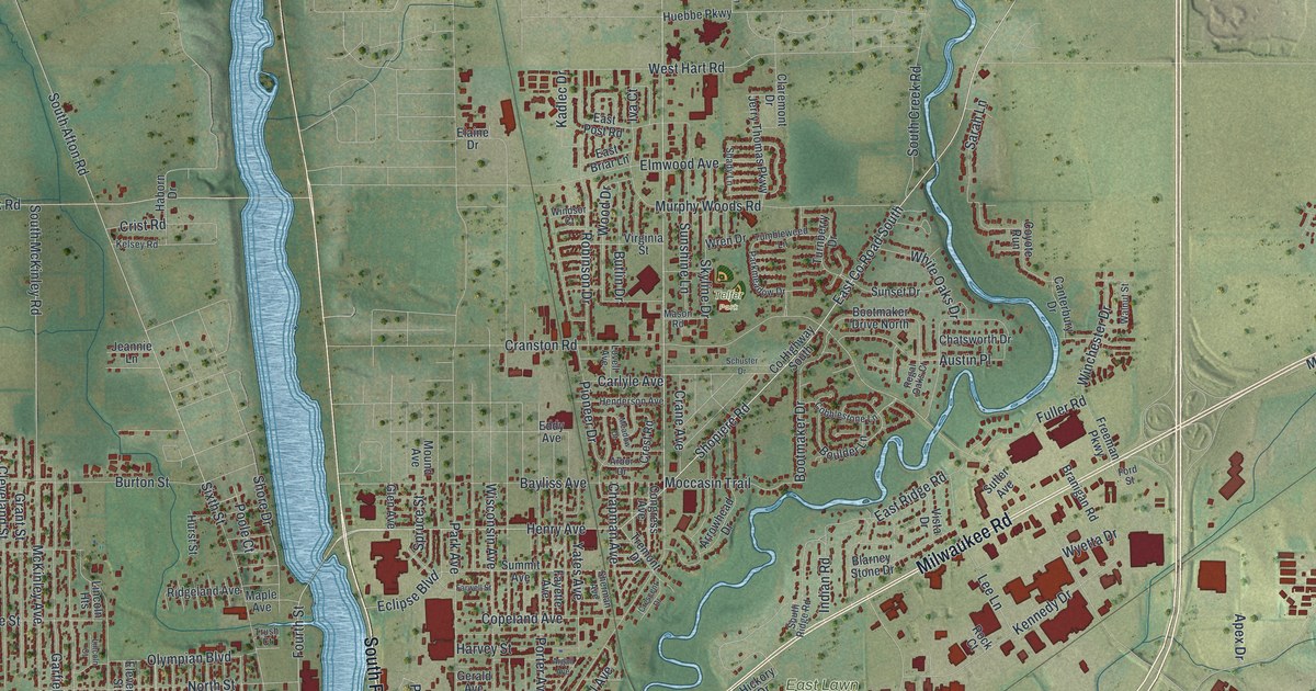
This beautifully detailed map of Beloit, Wisconsin was created in 2026 using aerial imagery combined with modern topographical, census, street and landmark data. It’s a one-of-a-kind view of Beloit that combines accurate data with a vintage aesthetic. The map shows every building in its true location, many of the roads carry their names, and the shaded topographic relief shows the shape of the land.
Explore an aerial view of Beloit, Wisconsin
On the map you’ll find Beloit City Hall, Christilla Heights, Porters, East Lawn Cemetery, Oakwood Cemetery, and Telfer Park, along with White Avenue, Pleasant Street, Fourth Street, Broad Street, Milwaukee Road, South Riverside Drive, and more. If you look closely you can even find your house accurately drawn in its correct location. Zoom in on the preview to look for yours.
Did you know this piece of Beloit, Wisconsin history?
From the Historical Marker Database: "Roy Chapman Andrews, one of the most celebrated explorers of the 20th century, was born in Beloit on January 26, 1884."
Take a closer look at the Beloit map
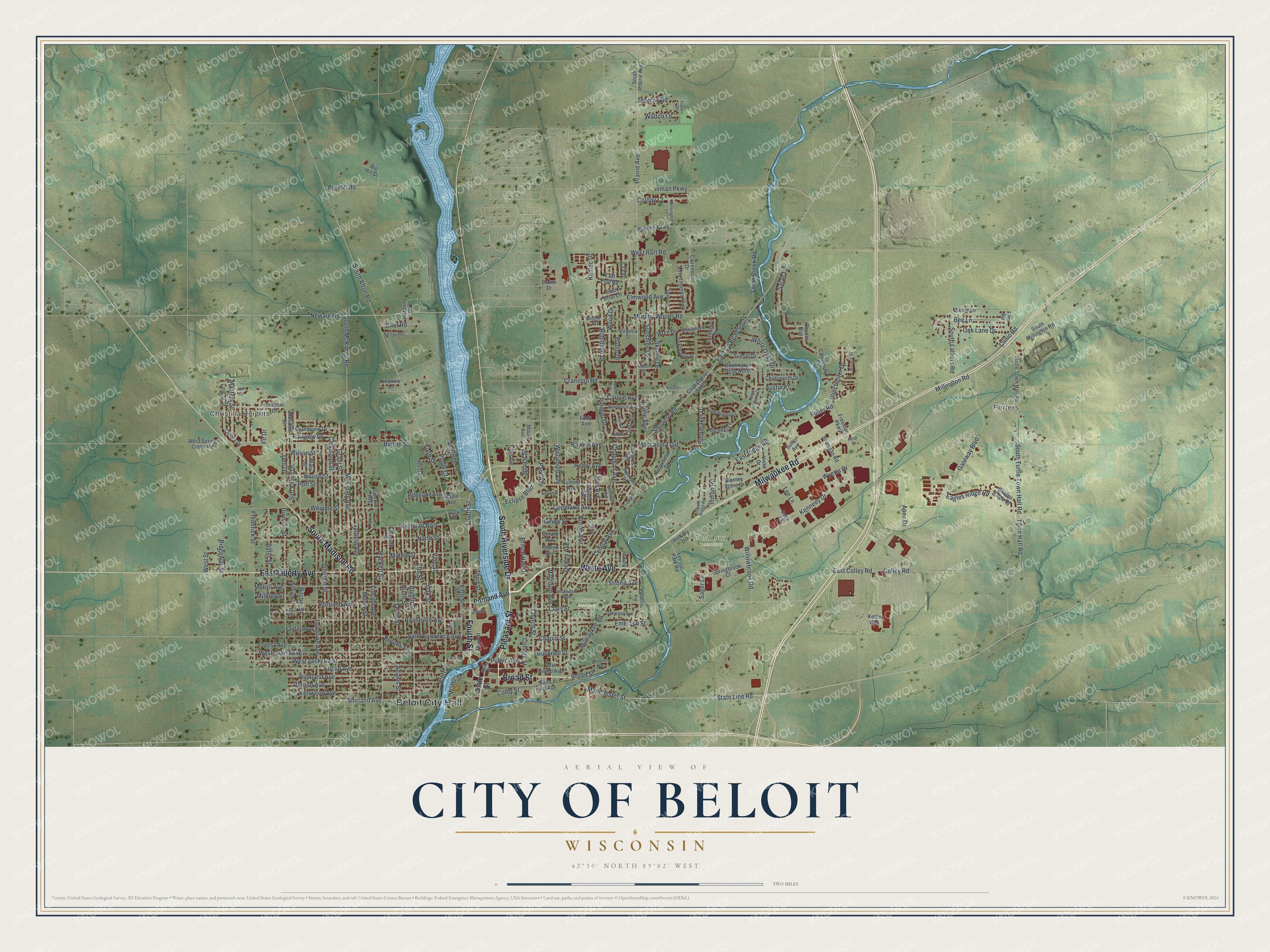
Street and place names on the Beloit, Wisconsin map
These names are printed on the map of Beloit, Wisconsin.
Places: Beloit City Hall, Christilla Heights, Porters, East Lawn Cemetery, Oakwood Cemetery and Telfer Park.
Streets and roads: White Avenue, Pleasant Street, Fourth Street, Broad Street, Milwaukee Road, South Riverside Drive, East Liberty Avenue, South Madison Road, Henry Avenue, Manchester Street, State Line Road, Shopiere Road.
More street names, A to Z
Adams Street, Apex Drive, Arbor Drive, Argall Avenue, Arrowhead Drive, Athletic Avenue, Austin Place, Barrett Place, Bayliss Avenue, Bee Lane, Big Hill Drive, Big Hill Road, Bittel Street, Blarney Stone Drive, Bluff Street, Bootmaker Drive, Bootmaker Drive North, Boulder Lane, Branigan Road, Brewster Avenue, Brooks Street, Burton Street, Bushnell Street, Butlin Drive, Canterbury Drive, Carlyle Avenue, Central Avenue, Chapin Street, Chapman Avenue, Chatsworth Drive, Church Street, Claremont Drive, Clary Street, Cleora Drive, Cleveland Street, Clinic Road, Cobblestone Lane, Colby Street, College Street, Colley Road, Colony Court, Congress Avenue, Copeland Avenue, County Highway South, Coyote Run, Crane Avenue, Cranston Road, Crescent Drive, Crest Road, Crist Road, Dell Drive, Dewey Avenue, Division Street, Eagles Ridge Road, East Briar Lane, East Colley Road, East County Road South, East Grand Avenue, East Post Road, East Ridge Road, Eclipse Boulevard, Eddy Avenue, Eighth Street, Elaine Drive, Eleventh Street, Elm Street, Elmwood Avenue, Emerson Street, Euclid Avenue, Fairfax Avenue, Fairview Drive, Farwell Street, Fayette Avenue, Fifth Street, Finn Road, Fir Drive, Ford Street, Forest Avenue, Franklin Street, Frederick Street, Freeman Parkway, Fuller Road, Garden Lane, Garfield Avenue, Gateway Boulevard, Gerald Avenue, Glen Avenue, Golden Eagle Drive, Grandview Drive, Grant Street, Haborn Drive, Hackett Street, Harrison Avenue, Harvey Street, Henderson Avenue, Hickory Drive, Highland Avenue, House Street, Huebbe Parkway, Hurst Street, Indian Road, Inman Parkway, Iva Court, Jeannie Lane, Jerry Thomas Parkway, Johnson Street, Kadlec Drive, Keeler Avenue, Kelsey Road, Kennedy Drive, Kensington Lane, Kenwood Avenue, Kettle Way, La Salle Street, Lee Lane, Leeson Park Road, Lenox Avenue, Lincoln Avenue, Lincoln Court, Lincoln Heights, Linway Drive, Lovell Avenue, Maple Avenue, Mary Street, Mason Road, Masters Street, McKinley Avenue, Meadow Drive, Meridith Drive, Merrill Avenue, Middle Street, Mildred Street, Millington Road, Minnie Lane, Moccasin Trail, Moore Street, Mound Avenue, Murphy Woods Road, Newark Road, Ninth Street, North Street, Oak Lane Drive, Oak Street, Oakwood Avenue, Olympian Boulevard, Park Avenue, Parker Avenue, Parkmeadow Drive, Pioneer Drive, Poff Street, Poole Court, Porter Avenue, Portland Avenue, Prairie Avenue, Prince Hall Drive, Public Avenue, Regal Oaks Court, Ridgeland Avenue, Ridgeway Street, Ritsher Street, Robinson Drive, Rock Court, Roosevelt Avenue, Sager Lane, Saint Lawrence Avenue, Saint Paul Avenue, Sarah Lane, Schuster Drive, Shady Lane, Sherman Avenue, Shirland Avenue, Shore Drive, Sixth Street, Skyline Drive, South Afton Road, South Creek Road, South Lathers Road, South McKinley Road, South Millington Road, South Prairie Avenue, South Ridge Road, South Turtle Town Hall Road, Springbrook Court, Spruce Street, Staborn Drive, State Street, Strong Avenue, Summit Avenue, Sunset Drive, Sunshine Lane, Sun Valley Drive, Sutler Avenue, Tenth Street, Third Street, Thomas Road, Town Hall Road, Townline Avenue, Tremont Drive, Trush Court, Tumbleweed Lane, Turnberry Drive, Turtle Town Hall Road, Ute Court, Vernon Avenue, Vine Street, Virginia Street, Vista Drive, Walnut Street, Walton Lane, Water Street, West Grand Avenue, West Hart Road, West Jackson Street, West Spring Creek Road, West Street, Whipple Street, White Oaks Drive, William Street, Willowbrook Road, Wilson Street, Winchester Drive, Windsor Court, Wisconsin Avenue, Wood Drive, Woodward Avenue, Wren Drive, Wyetta Drive, Yates Avenue.
See the Beloit, Wisconsin map on a wall
The Beloit map as an 18 x 24 inch print in a black frame.

This beautifully detailed map of Beloit makes an attractive addition to your office, library, or den, and it can even be used to teach children the geography and history of the area. It also makes a great gift for anyone who grew up in Beloit or moved away. When you’re done exploring, click here to get your copy of the Beloit map.