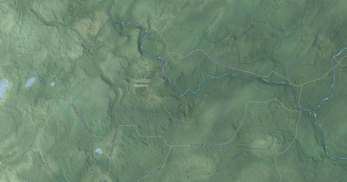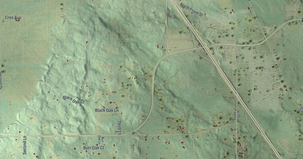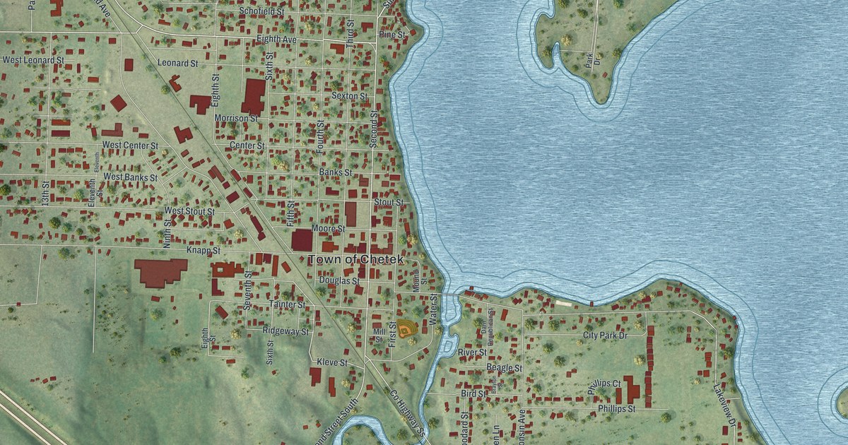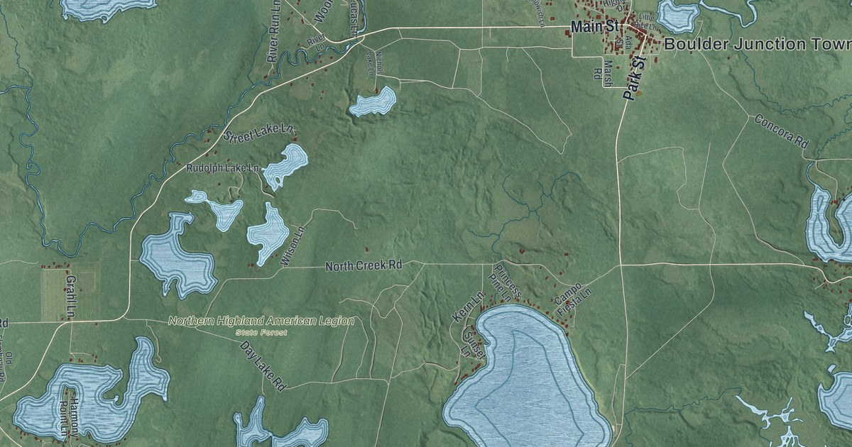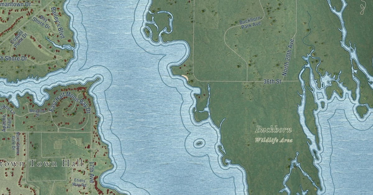
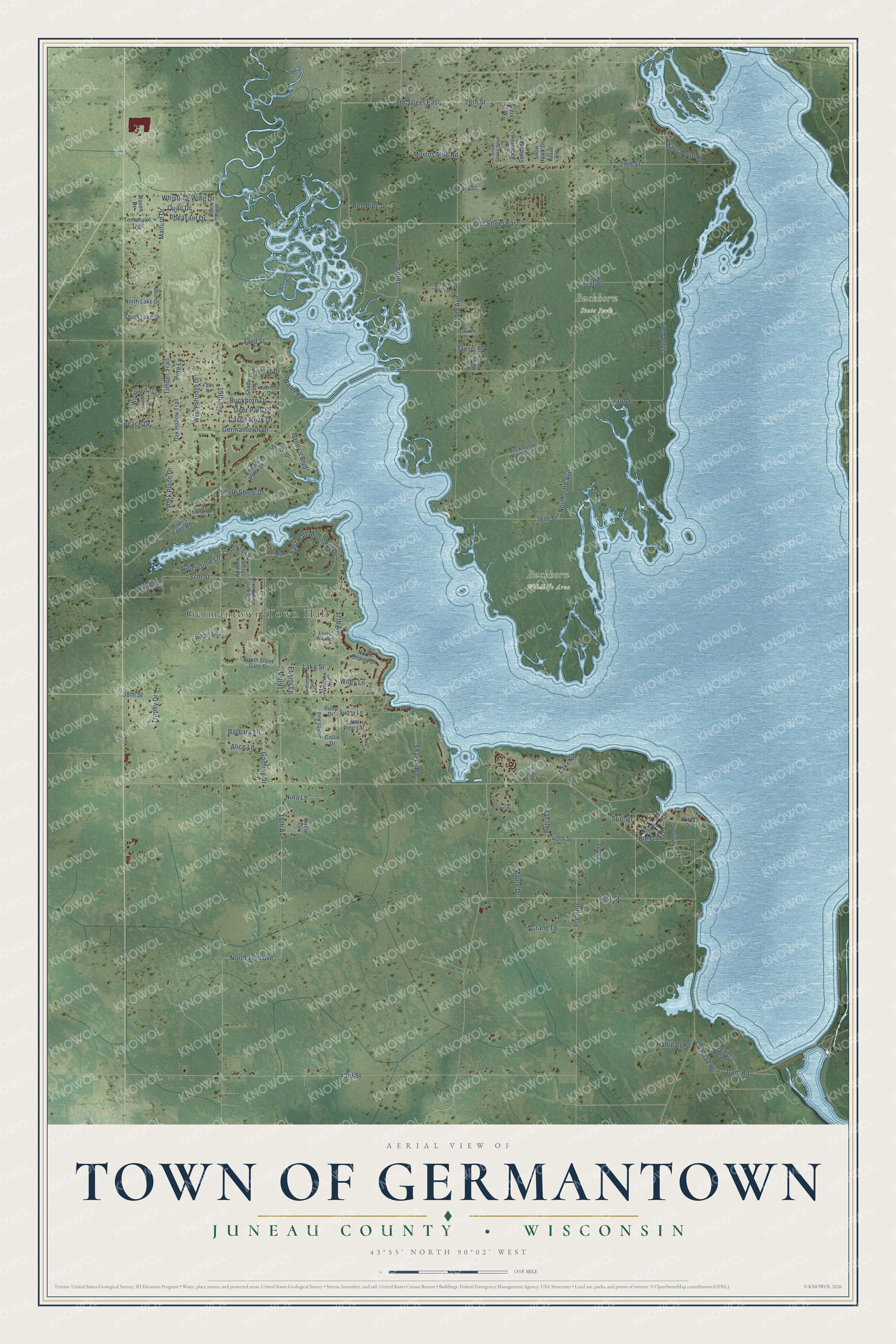
This beautifully detailed map of Germantown, Wisconsin was created in 2026 using aerial imagery combined with modern topographical, census, street and landmark data. It's a modern aerial view of Germantown in Juneau County, Wisconsin, that combines modern data with a vintage aesthetic. The roads feature printed names, and if you look closely you can find your exact house accurately shown in its correct location.
Explore an aerial view of Germantown, Wisconsin
On this map you'll find Germantown Town Hall, Buckhorn State Park, Buckhorn Wildlife Area, 16th Avenue, Lake Road, 16th Street, 38th Street, North Shore Drive, 40th Street, North 16th Avenue, Lake Street, Sunset Drive, and more. Each red shape is a building, so zoom in on the preview and look for yours.
Here is a piece of Germantown history, in the words of the record. The History of Northern Wisconsin puts it this way: "The first settlement made in the village of Germantown was in 1848, by Uriah Hill and Usal V. Jeffreys, for T. Weston & Co."
Germantown is a town in Juneau County. The Census Bureau counted 1,628 people here in 2020.
Take a closer look at the Germantown map
Names on this map
These names are printed on this map.
Places: Germantown Town Hall, Buckhorn State Park and Buckhorn Wildlife Area.
Streets and roads: 16th Avenue, Lake Road, 16th Street, 38th Street, North Shore Drive, 40th Street, North 16th Avenue, Lake Street, Sunset Drive, 22nd Avenue, 29th Street, 19th Avenue.
More street names, A to Z
15th Avenue, 17th Avenue, 18th Avenue, 20th Avenue, 28th Street, 28th Street East, 30th Street East, 31st Street, 32nd Street, 33rd Street, 36th Street, 37th Street, 41st Street, 43rd Street, Alice Lane, Apache Trail, Bailey's Boulevard, Barbara Lane, Bay Shore Drive, Beach Drive, Bean Lane, Big Oak Drive, Birch Trail, Boater's Dream Drive, Buckhorn Drive, Buckhorn Park Avenue, Castle Rock Drive, Cherokee Lane, Circle Drive, Collie Drive, Copper Point Drive, County Road Hh, Crane Lane, Dam Road, Deer Park Drive, Deer Path, Driftwood Lane, East Half Moon Bay Drive, Easy Street, Eberts Lane, Etiers Way Road, Evergreen Lane, Fawn Drive, Germantown Drive, Godfrey Drive, Hallinan Road, High Ridge Road, Hornburg Road, Jones Avenue, Kraut Road, Lake Court, Little Pine Lane, Lucy Lane, Mallard Drive, Maple Drive, Mays Point Road, Meadow Drive, Miss Liz Lane, Morros Mile Road, Nina Lane, Nordall Lane, North 20th Avenue, North Lake Drive, North Osprey Drive, North Stone Gate Drive, Oak Hollow Trail, Overlook Drive, Park Place Drive, Petras Lane, Pheasant Drive, Pine Lane, Poplar Lane, Quail Drive, Raven Drive, Red Pine Drive, Ridgewater Drive, Rivers Edge Road, Ruby Drive, Sandstone Drive, Sawyer Road, Shacks Road, Shady Lane, Snow Hawk Drive, Snow Snake Trail, South Lake Drive, South Stone Gate Drive, Stiener, Sundance Lane, Sunny Lane, Teal Drive, Timber Trail, Tomahawk Trail, Trophy Drive, Vista Drive, Wahneeta Avenue, Waterstone Lane, Water Street, West Partridge Drive, Whistling Wing Drive, Wiley Lane, Winona Avenue, Woodland Trail, Zunker Drive.
Created by KNOWOL in 2026. The buildings are small red shapes, the roads carry their printed names, and shaded relief shows the shape of the land. The title panel reads "AERIAL VIEW OF TOWN OF GERMANTOWN, JUNEAU COUNTY • WISCONSIN" with 43°55' NORTH 90°02' WEST.
It suits a den, a classroom or a front hall, and it makes a gift for anyone with Germantown roots. Open the preview and find the block you know. See sizes and frames for the Town of Germantown, Juneau County map.