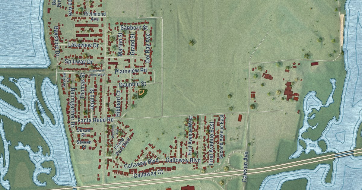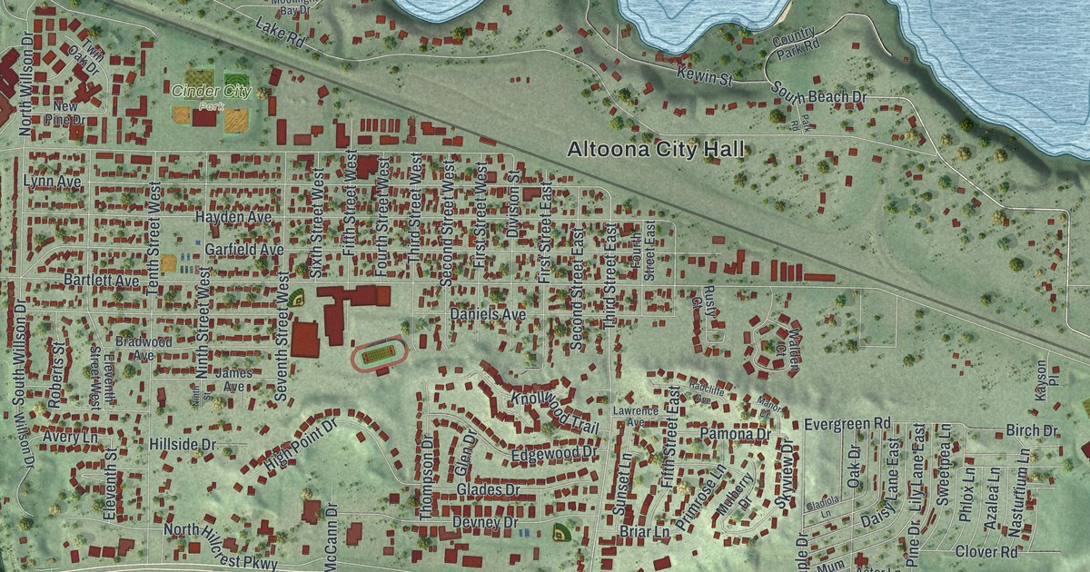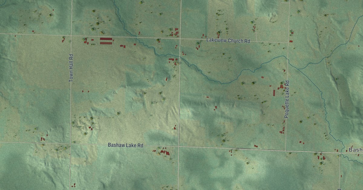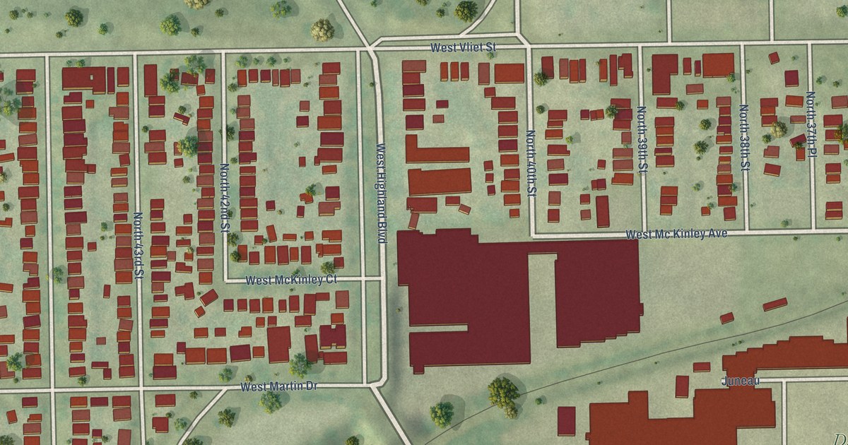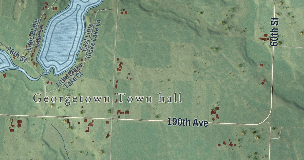
This beautifully detailed map of Georgetown, Wisconsin was created in 2026 using aerial imagery combined with modern topographical, census, street and landmark data. It’s a one-of-a-kind view of Georgetown that combines accurate data with a vintage aesthetic. The map shows every building in its true location, many of the roads carry their names, and the shaded topographic relief shows the shape of the land.
Explore an aerial view of Georgetown, Wisconsin
On the map you’ll find Georgetown Town hall, Bunyan, and Fox Creek, along with 100th Street, 230th Avenue, 60th Street, County Highway East, 200th Avenue, 80th Street, 190th Avenue, 105th Street, 185th Avenue, and more. If you look closely you can even find your house accurately drawn in its correct location. Zoom in on the preview to look for yours.
Did you know this piece of Georgetown, Wisconsin history?
From W. H. C. Folsom: "Georgetown was set off from Milltown and organized Nov. 15, 1879. The first supervisors were David H. Smith, Elisha E. Drake and August Larbell."
Looking for a different Georgetown? Wisconsin also has Georgetown in Price County.
Take a closer look at the Georgetown map
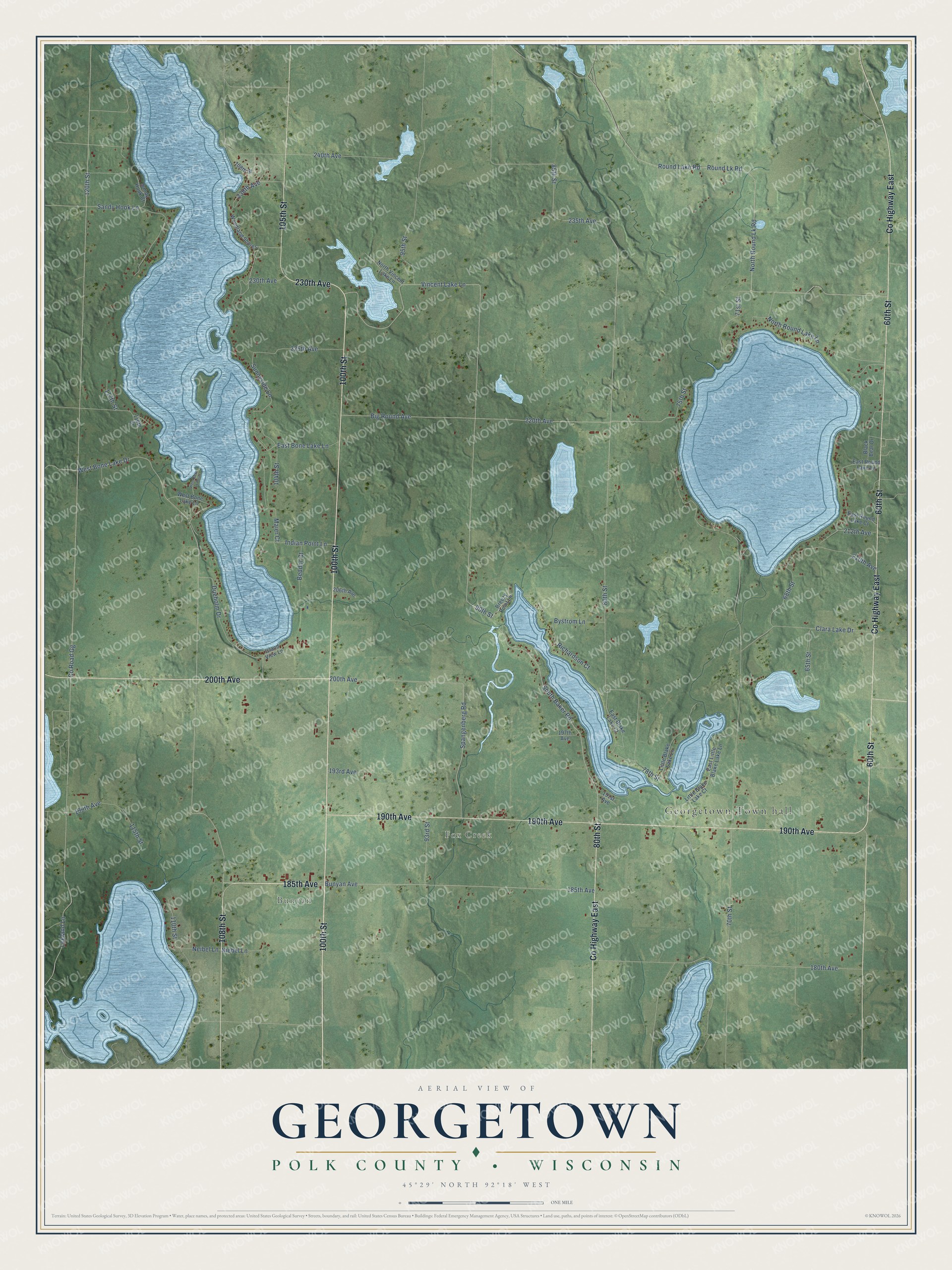
Street and place names on the Georgetown, Wisconsin map
These names are printed on the map of Georgetown, Wisconsin.
Places: Georgetown Town hall, Bunyan and Fox Creek.
Streets and roads: 100th Street, 230th Avenue, 60th Street, County Highway East, 200th Avenue, 80th Street, 190th Avenue, 105th Street, 185th Avenue, 108th Street, Vincent Lake Lane, 90th Street.
More street names, A to Z
65th Street, 68th Street, 70th Street, 71st Street, 75th Street, 78th Street, 85th Street, 93rd Street, 95th Street, 104th Street, 110th Street, 115th Street, 116th Street, 117th Street, 120th Street, 180th Avenue, 191st Avenue, 193rd Avenue, 197th Avenue, 206th Avenue, 210th Avenue, 212th Avenue, 220th Avenue, 225th Avenue, 235th Avenue, 238th Avenue, 240th Avenue, Beddor Court, Big Round Avenue, Black Bear Drive, Breezy Point Lane, Bunyan Avenue, Bystrom Lane, Clara Lake Drive, County Road Gg, Dueholm Drive, East Blake Lake Court, East Bone Lake Lane, East Little Blake Lake Lane, East Round Lake Court, East Round Lake Lane, Indian Point Lane, Island View Lane, Leeland Lane, Little Blake Lake Court, Little Blake Lake Lane, Maier Court, Neibel Lane, Niebel Lane, North Round Lake Lane, North Round Lk Road, North Vincent Lake Lane, Richardson Court, Round Lake Road, Round Lk Road, Sandy Hook Court, Sandy Hook Lane, South Baker Road, Spangenberg Road, Sunnyside Lane, West Bone Lake Drive, West Bone Lake Lane, West Bone Lk Point, Woodland Shores.
See the Georgetown, Wisconsin map on a wall
The Georgetown, Polk County map as an 18 x 24 inch print in a black frame.

This beautifully detailed map of Georgetown, Polk County makes an attractive addition to your office, library, or den, and it can even be used to teach children the geography and history of the area. It also makes a great gift for someone who left Georgetown and still calls it home. When you’re done exploring, click here to get your copy of the Georgetown, Polk County map.