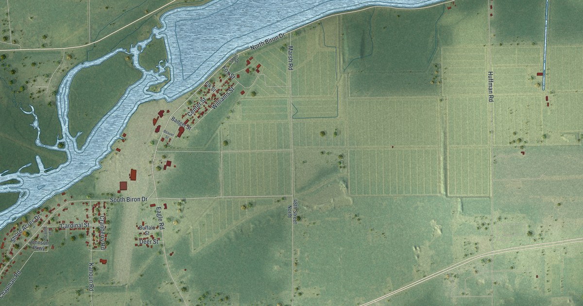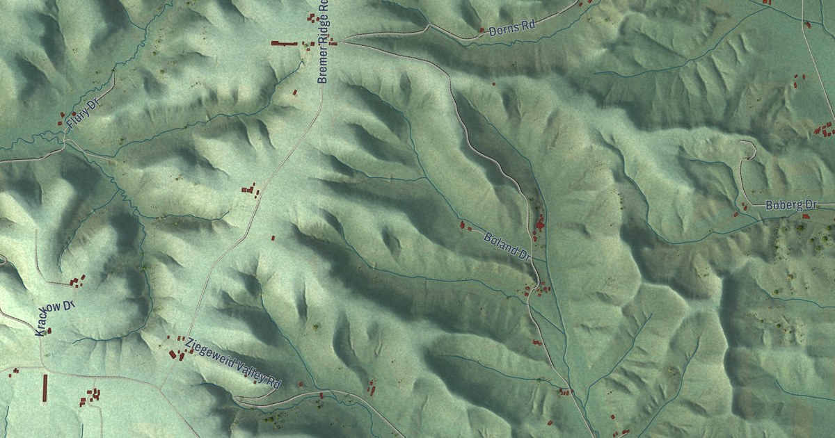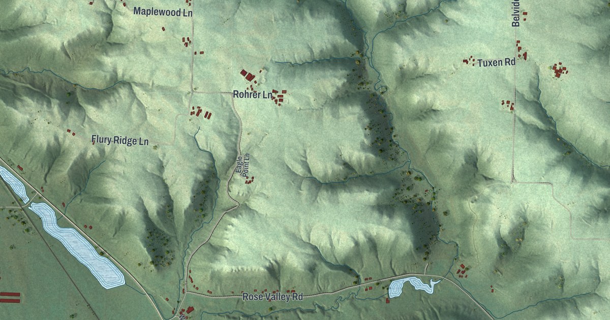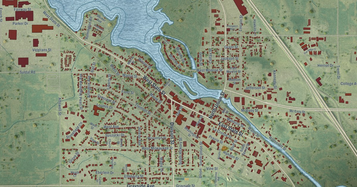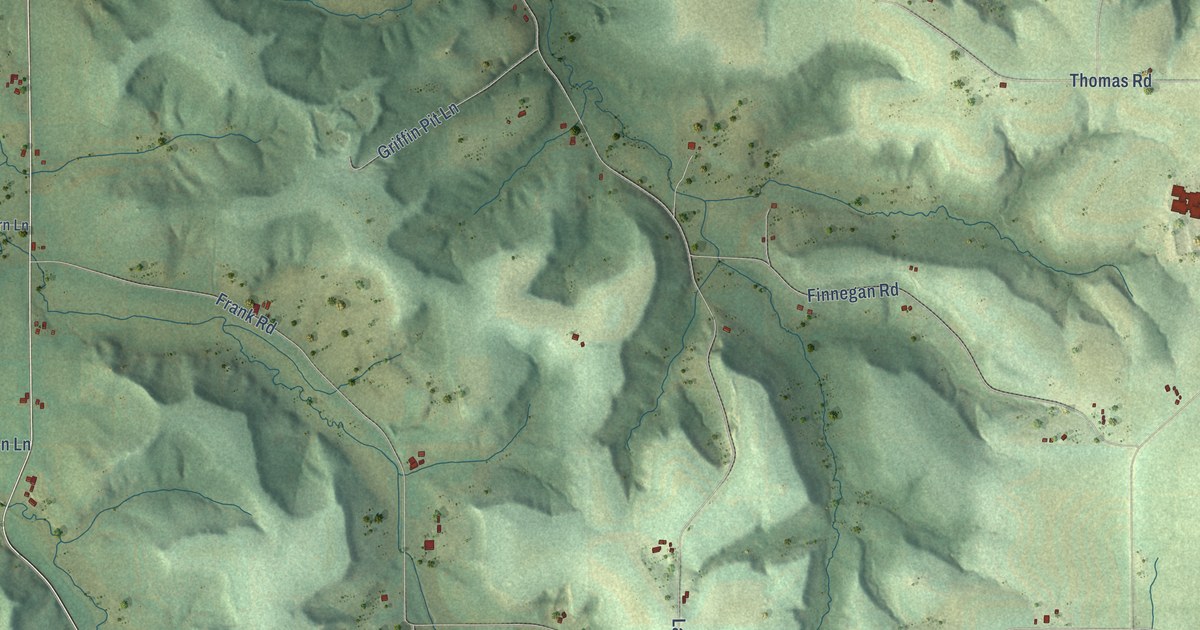
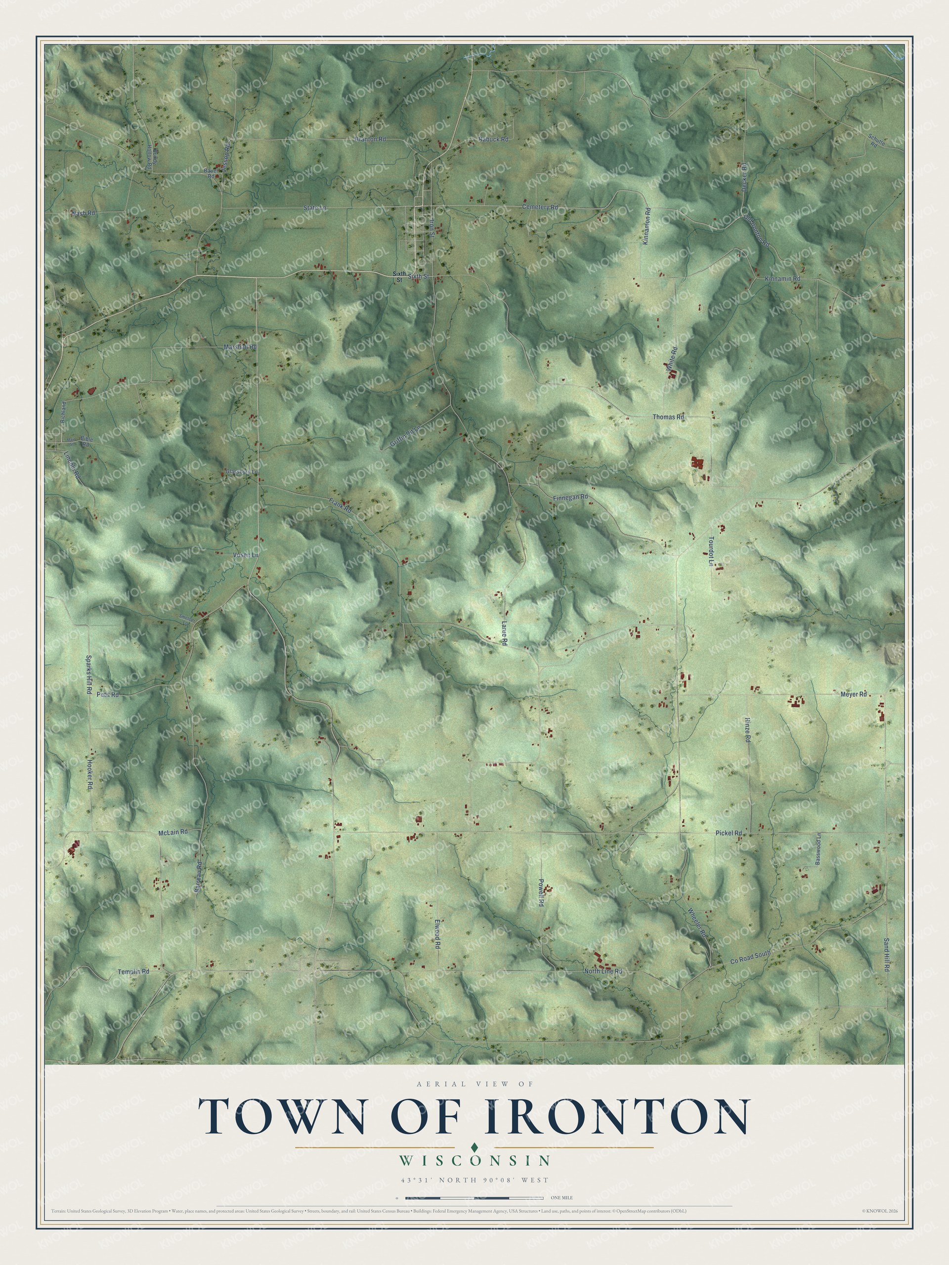
This beautifully detailed map of Ironton, Wisconsin was created in 2026 using aerial imagery combined with modern topographical, census, street and landmark data. It's a modern aerial view of Ironton in Sauk County, Wisconsin, that combines modern data with a vintage aesthetic. The roads feature printed names, and if you look closely you can find your exact house accurately shown in its correct location.
Explore an aerial view of Ironton, Wisconsin
On this map you'll find Cemetery Road, Marshall Road, Co Road South, Sparks Hill Road, Sixth Street, Thomas Road, Barreau Road, Larue Road, Frank Road, Meyer Road, Pickel Road, Hooker Road, and more. Each red shape is a building, so zoom in on the preview and look for yours.
Ironton has a story worth telling. The Standard History of Sauk County puts it this way: "In November, 1859, the Town of Ironton was created from parte of Marston and Washington, and in November, 1861, the name of the Town of Kingston was changed to that of Sumpter."
Ironton is a town in Sauk County. The Census Bureau counted 662 people here in 2020.
Take a closer look at the Ironton map
Names on this map
These names are printed on this map.
Streets and roads: Cemetery Road, Marshall Road, County Road South, Sparks Hill Road, Sixth Street, Thomas Road, Barreau Road, Larue Road, Frank Road, Meyer Road, Pickel Road, Hooker Road.
More street names, A to Z
Basswood Lane, Bauer Road, Bible Road, Branton Road, Bundy Hollow Road, Decker Road, Elwood Road, Finnegan Road, Glassburn Lane, Griffin Pit Lane, Hinze Road, Iron Street, Jessop Road, Kinnamin Road, Kinnamon Road, Lincoln Road, Main Street, McLain Road, Nash Road, North Line Road, Old Ironton Road, Petit Road, Powell Road, Rabuck Road, Richland, Sand Hill Road, Schutte Road, Smelcer Lane, State Lane, Templin Road, Tourdot Lane, Vosen Lane, Wheeler Road, White Road.
Created by KNOWOL in 2026. The buildings are small red shapes, the roads carry their printed names, and shaded relief shows the shape of the land. The title panel reads "AERIAL VIEW OF TOWN OF IRONTON, WISCONSIN" with 43°31' NORTH 90°08' WEST.
It looks right in a kitchen, an office or a den, and it's a gift for anyone who grew up in Ironton or moved away. Open the preview and find your street. See sizes and frames for the Town of Ironton map.