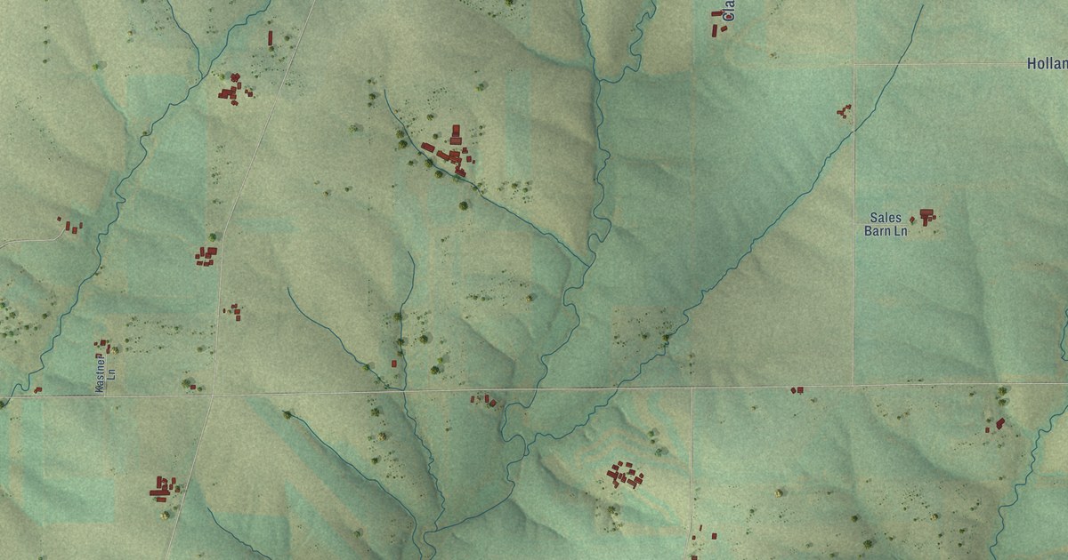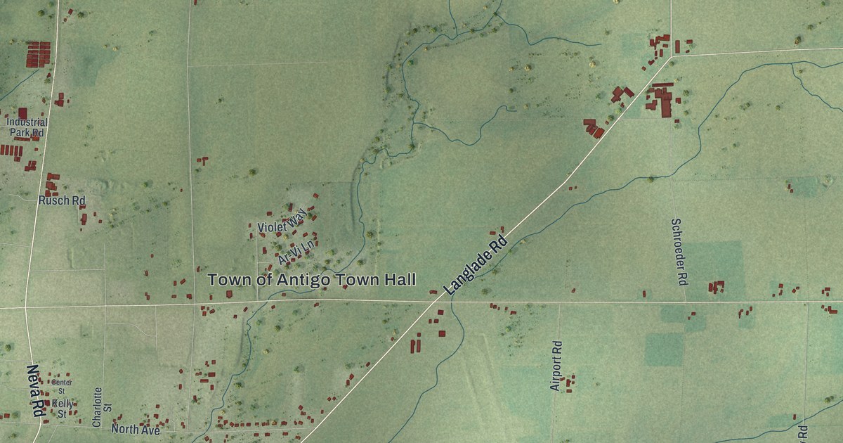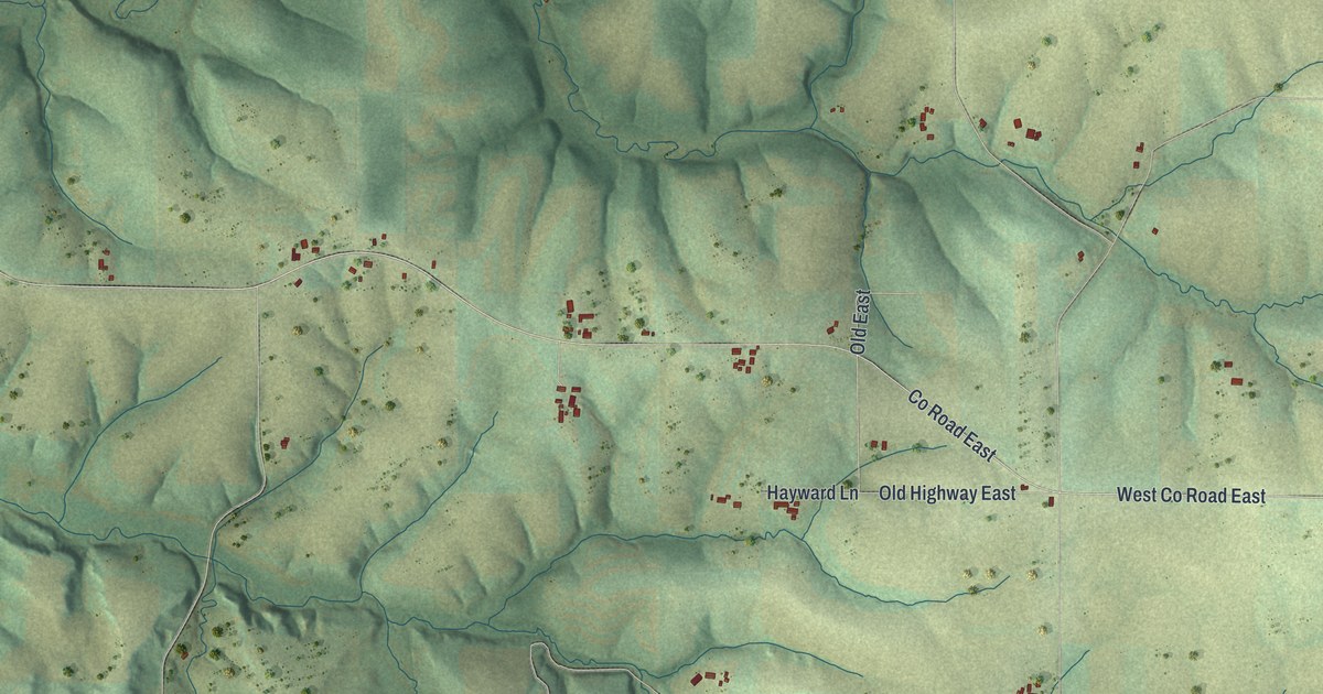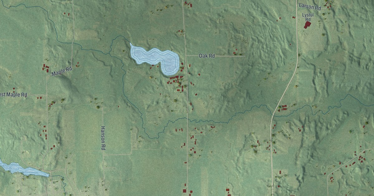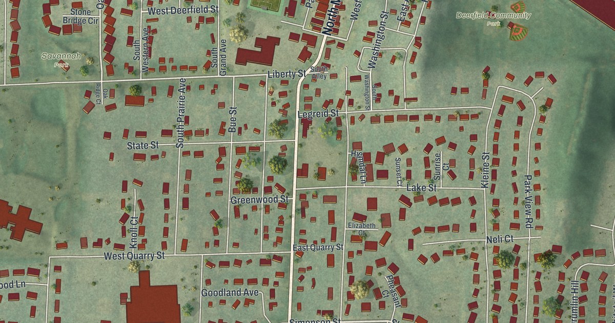
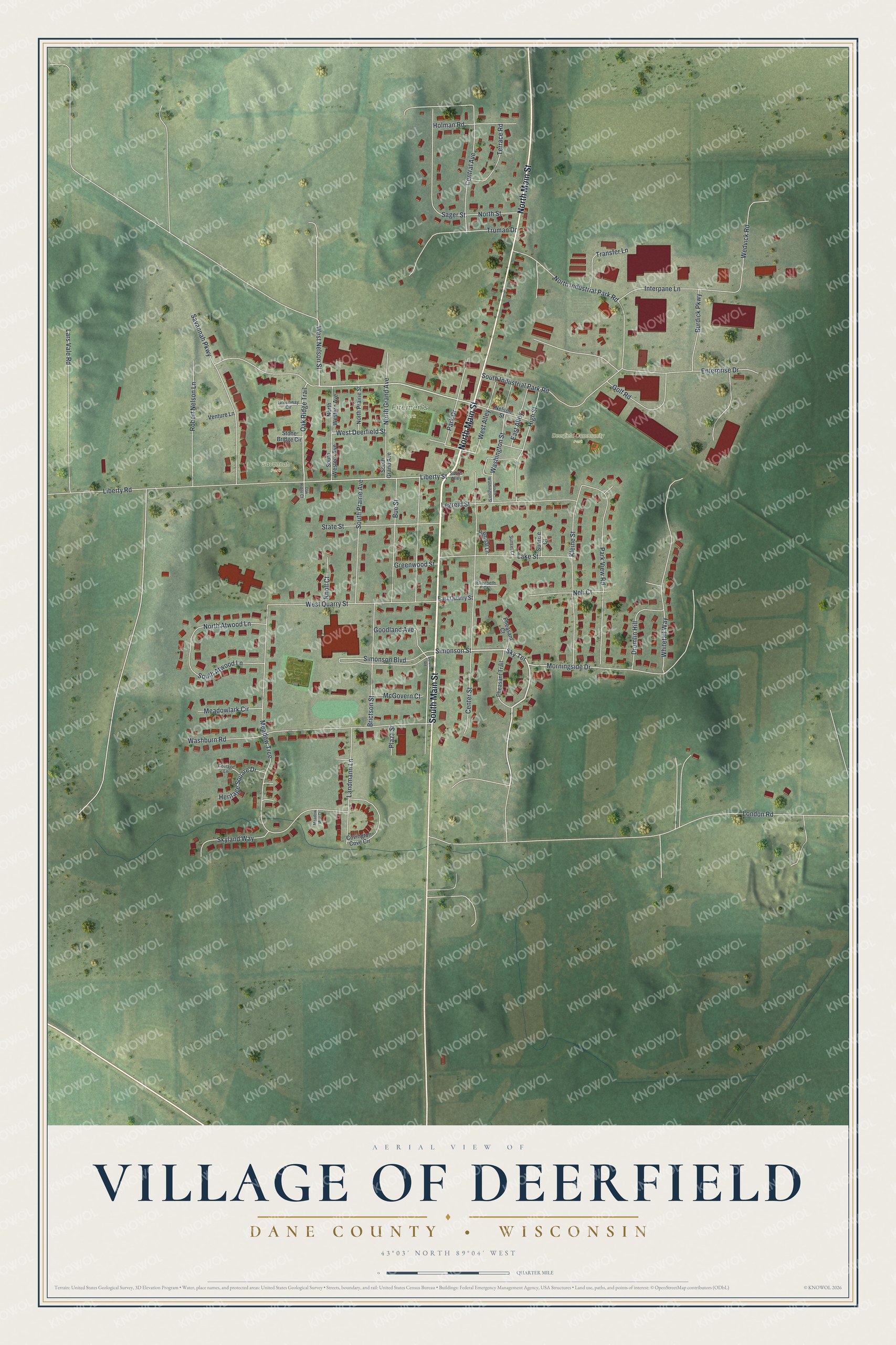
This beautifully detailed map of Deerfield, Wisconsin was created in 2026 using aerial imagery combined with modern topographical, census, street and landmark data. It's a modern aerial view of Deerfield in Dane County, Wisconsin, that combines modern data with a vintage aesthetic. The roads feature printed names, and if you look closely you can find your exact house accurately shown in its correct location.
Explore an aerial view of Deerfield, Wisconsin
On this map you'll find Deerfield Community Park, Firemen's Park, Savannah Park, South Main Street, North Main Street, Simonson Street, Sky Terrace, West Deerfield Street, West Nelson Street, Oak Ridge Trail, Liberty Street, Liberty Road, and more. Each red shape is a building, so zoom in on the preview and look for yours.
Deerfield has a story worth telling. The Internet Archive puts it this way: "IIyer
located on section 9 ; he was the first postmaster of Deerfield postoffice,
established in 1843, and held the office for eleven years."
Deerfield is a village in Dane County. The Census Bureau counted 2,507 people here in 2020.
Take a closer look at the Deerfield map
Names on this map
These names are printed on this map.
Places: Deerfield Community Park, Firemen's Park and Savannah Park.
Streets and roads: South Main Street, North Main Street, Simonson Street, Sky Terrace, West Deerfield Street, West Nelson Street, Oak Ridge Trail, Liberty Street, Liberty Road, Washburn Road, North Industrial Park Road, Meadow Trce.
More street names, A to Z
Brictson Street, Bue Street, Burdick Parkway, Center Street, Central Avenue, Cottage Lane, Covington Cove Circle, Drumlin Hill, East Alley, East Quarry Street, Elizabeth Court, Enterprise Drive, Golf Road, Goodland Avenue, Greenway Circle, Greenwood Street, Heritage Square Drive, High Street, Hjemdal Lane, Holman Road, Interpane Lane, Kleine Street, Knoll Court, Lake Street, Landmann Lane, Lars Vale Road, Legreid Street, London Road, McGovern Court, Meadowlark Circle, Meadow Mist Court, Morningside Drive, Neli Court, Nelson Street, North Atwood Lane, North Grand Avenue, North Prairie Street, North Street, North Western Avenue, Oak Ridge Court, Park Drive, Park View Road, Pheasant Court, Pheasant Trail, Plaza Street, Robert Nelson Lane, Sager Street, Savannah Parkway, Service Road, Simonson Boulevard, Skyland Way, South Alley, South Atwood Lane, South Grand Avenue, South Industrial Park Road, South Prairie Avenue, South Washington Street, South Western Avenue, State Street, Stone Bridge Circle, Sunrise Court, Sunset Court, Terrace Road, Transfer Lane, Truman Drive, Venture Lane, Washington Street, Wedvick Road, West Alley, West Quarry Street, Whitetail Way.
Created by KNOWOL in 2026. The buildings are small red shapes, the roads carry their printed names, and shaded relief shows the shape of the land. The title panel reads "AERIAL VIEW OF VILLAGE OF DEERFIELD, DANE COUNTY • WISCONSIN" with 43°03' NORTH 89°04' WEST.
It looks right in a kitchen, an office or a den, and it's a gift for anyone who grew up in Deerfield or moved away. Open the preview and find your street. See sizes and frames for the Deerfield map.