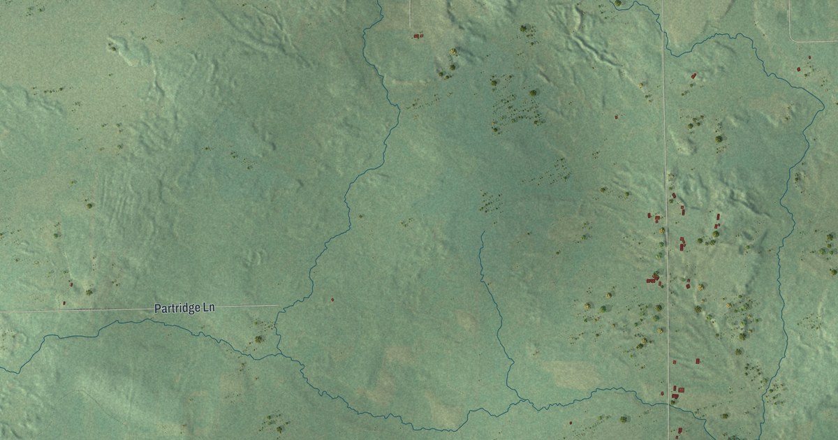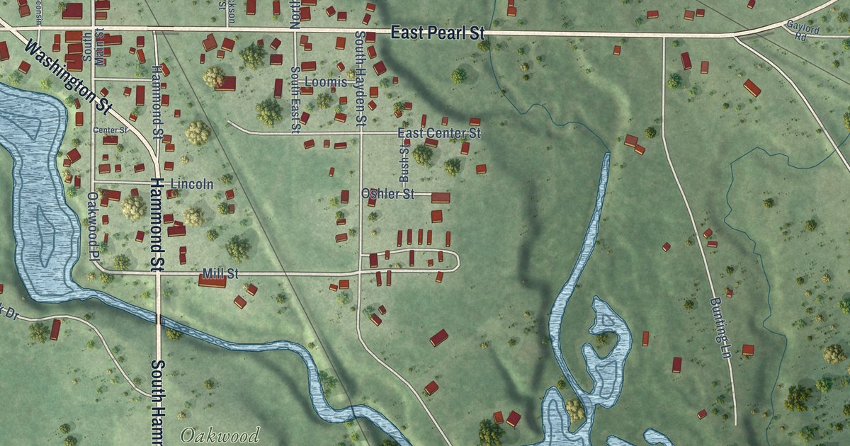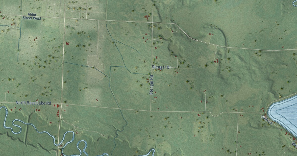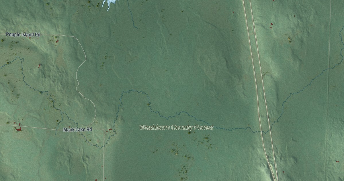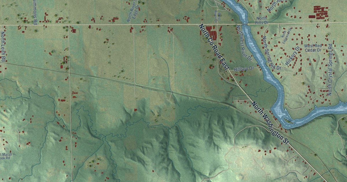
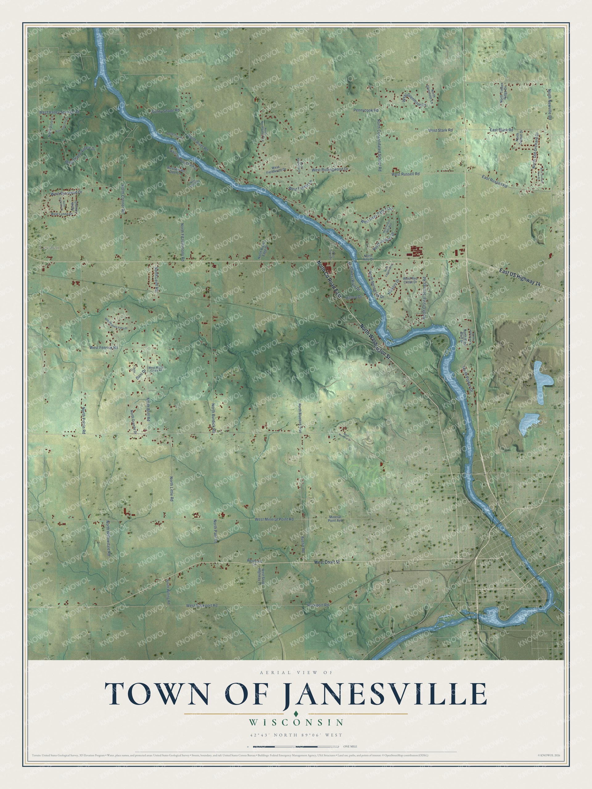
This beautifully detailed map of Janesville, Wisconsin was created in 2026 using aerial imagery combined with modern topographical, census, street and landmark data. It's a modern aerial view of Janesville in Rock County, Wisconsin, that combines modern data with a vintage aesthetic. The roads feature printed names, and if you look closely you can find your exact house accurately shown in its correct location.
Explore an aerial view of Janesville, Wisconsin
On this map you'll find Leyden, North Washington Street, North Co Road East, East US Highway 14, North Parker Drive, North Connor Road, West Mineral Point Road, North River Road, North Newville Road, North Polzin Road, North Burdick Road, North Britt Road, and more. Each red shape is a building, so zoom in on the preview and look for yours.
Janesville has a story worth telling. The Rock County a New History puts it this way: "The portion of the town of Janesville west of the river was first surveyed. The town lines were run by surveyors, Mullet and Brink in the third quarter of 1833, and the sections and subdivisions were surveyed later in the same year by George W. Harrison."
Janesville is a town in Rock County. The Census Bureau counted 3,665 people here in 2020.
Take a closer look at the Janesville map
Names on this map
These names are printed on this map.
Places: Leyden.
Streets and roads: North Washington Street, North County Road East, East US Highway 14, North Parker Drive, North Connor Road, West Mineral Point Road, North River Road, North Newville Road, North Polzin Road, North Burdick Road, North Britt Road, West Rockport Road.
More street names, A to Z
Austin Road, Dani Drive, East Russell Road, East Stark Road, Hickory Drive, Hilltop Drive, Mineral Point Avenue, North Arabian View Drive, North Bluebird Trail, North Consolidated School Road, North Crystal Springs Road, North Edgewood Drive, North Fitzsimmons Road, North Forest Hills Boulevard, North Glenmoor Lane, North Granite Drive, North Hills Drive, North Juniper Drive, North Katherine Drive, North Knollwood Drive, North Laura Drive, North Leith Road, North Little Road, North Northwood Trce, North Old Orchard Drive, North Orchard View Drive, North Pahl Road, North Ridge View Drive, North River's Edge Drive, North River Bluff Drive, North Spring Hill Drive, North Timber Ridge Drive, North Vista Lane, Northwest River Drive, North Willowdale Road, North Zermat Drive, Pennycook Road, Rockport Road, South Willing Road, Sunny Shade Road, Sunnyshore Drive, Taylor Court, West Brown Deer Lane, West Burrwood Drive, West Court Street, West Deer Path Trail, West Fenrick Road, West Fieldwood Drive, West Forest Lane, West Glenmoor Lane, West Graham Drive, West Grand Videre Drive, West Lynne Drive, West Marsh Creek Road, West Memorial Drive, West Oakwood Park Drive, West Red Cedar Drive, West River Drive, West Rollingwood Drive, West Russell Road, West Splendor Valley Drive, West Stark Road, West State Highway 11, West Valley Springs Road, Westward Lane.
Created by KNOWOL in 2026. The buildings are small red shapes, the roads carry their printed names, and shaded relief shows the shape of the land. The title panel reads "AERIAL VIEW OF TOWN OF JANESVILLE, WISCONSIN" with 42°43' NORTH 89°06' WEST.
It looks right in a kitchen, an office or a den, and it's a gift for anyone who grew up in Janesville or moved away. Open the preview and find your street. See sizes and frames for the Town of Janesville map.