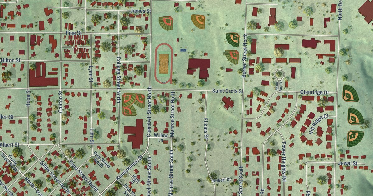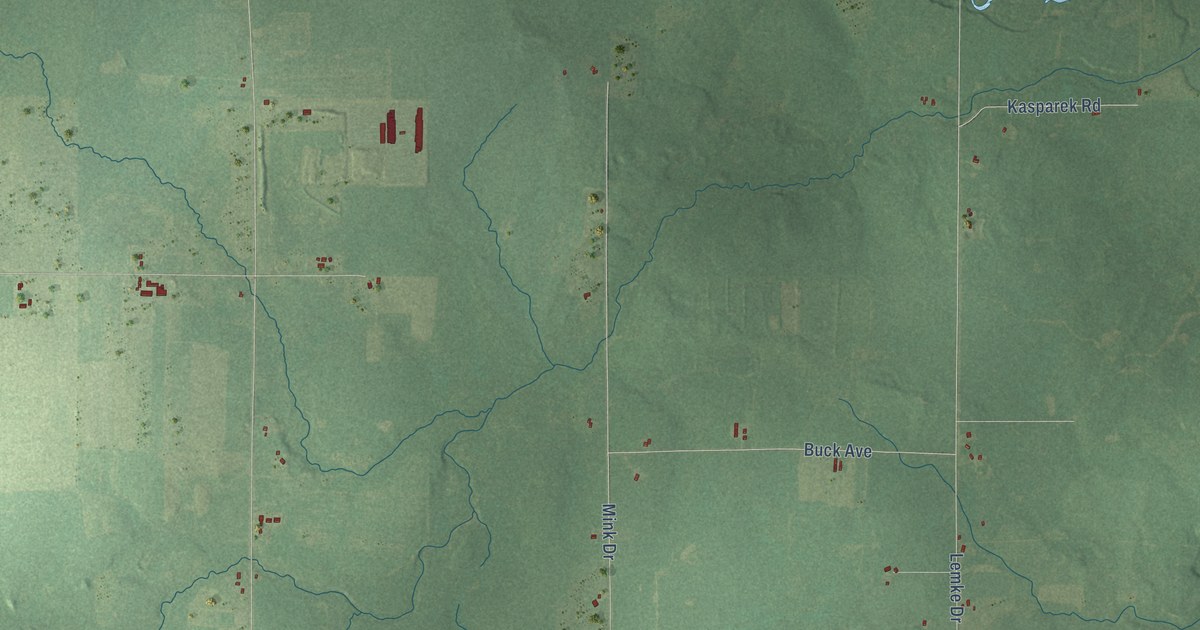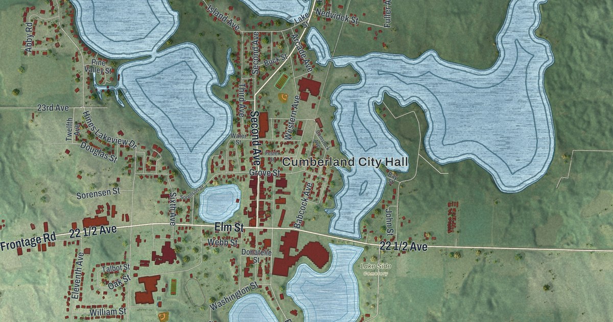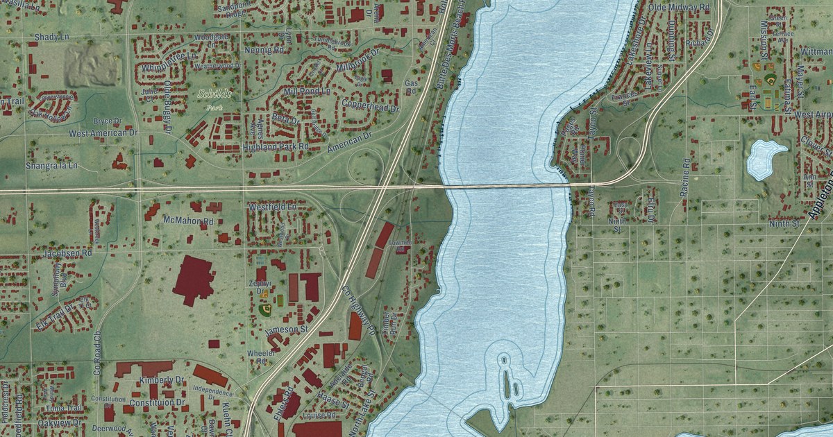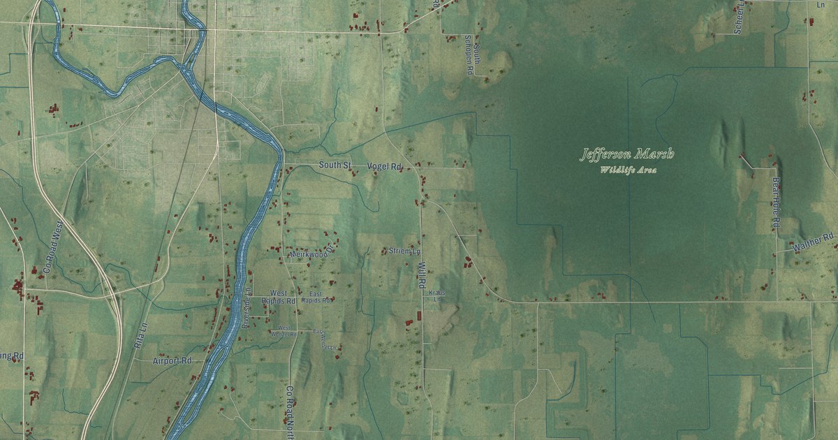
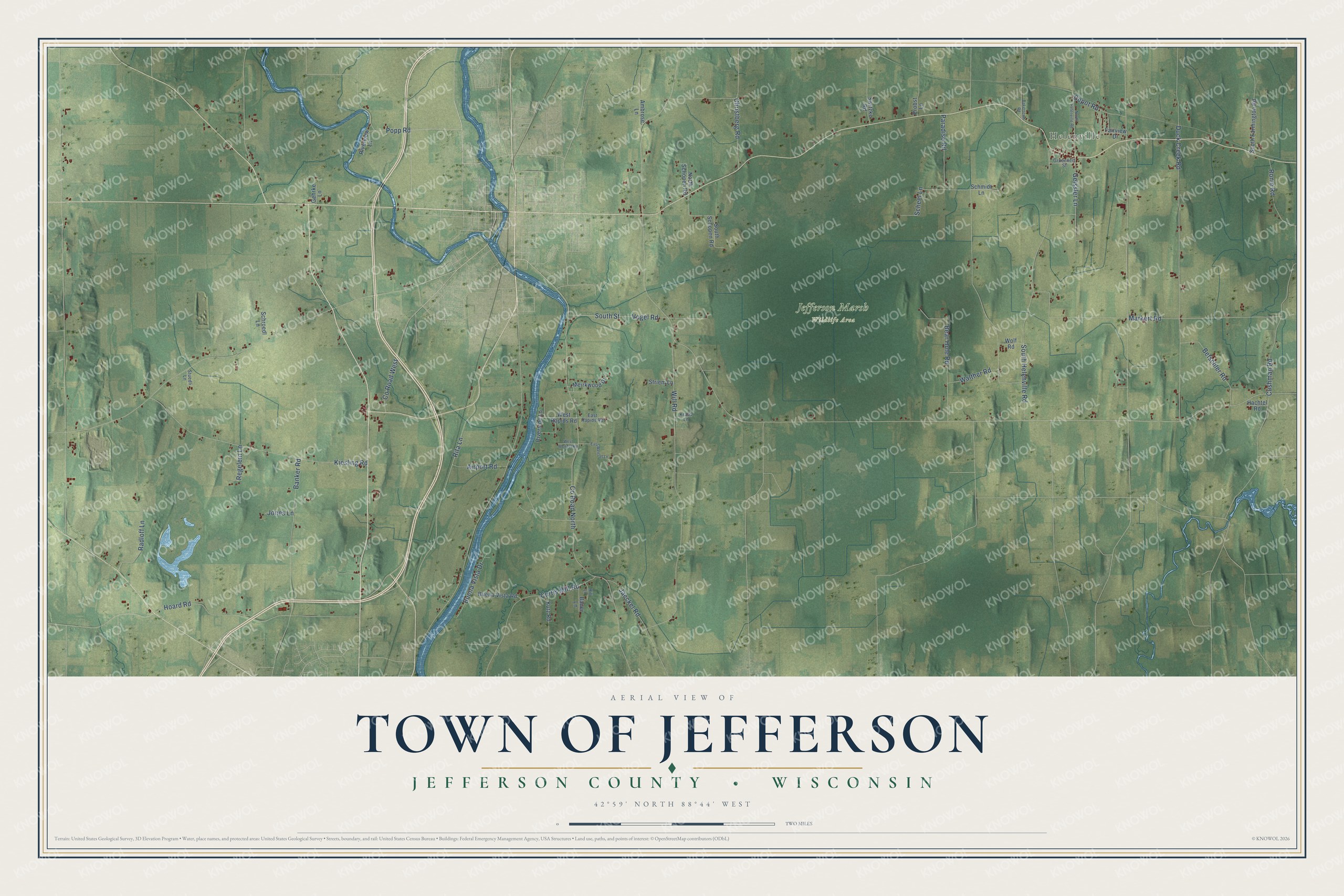
This beautifully detailed map of Jefferson, Wisconsin was created in 2026 using aerial imagery combined with modern topographical, census, street and landmark data. It's a modern aerial view of Jefferson in Jefferson County, Wisconsin, that combines modern data with a vintage aesthetic. The roads feature printed names, and if you look closely you can find your exact house accurately shown in its correct location.
Explore an aerial view of Jefferson, Wisconsin
On this map you'll find Helenville, Jefferson Marsh Wildlife Area, South Street, Co Road North, Paradise Road, Duck Creek Road, Markert Road, South Helenville Road, Kiesling Road, Will Road, Rita Lane, Hoard Road, and more. Each red shape is a building, so zoom in on the preview and look for yours.
Here is a piece of Jefferson history, in the words of the record. The History of Jefferson County puts it this way: "The building was completed during the fall and used as a tavern, court house and salesroom for dry goods and groceries, the first goods ever sold in the town of Jefferson."
Jefferson is a town in Jefferson County. The Census Bureau counted 2,067 people here in 2020.
Take a closer look at the Jefferson map
Names on this map
These names are printed on this map.
Places: Helenville and Jefferson Marsh Wildlife Area.
Streets and roads: South Street, County Road North, Paradise Road, Duck Creek Road, Markert Road, South Helenville Road, Kiesling Road, Will Road, Rita Lane, Hoard Road, Banker Road, Bear Hole Road.
More street names, A to Z
Airport Road, Ambrose Lane, Bakertown Road, Bauer Lane, Betschler Road, Buena Vista Drive, Buena Vista Road, Christberg Road, County Road West, Curtis Mill Road, Cushman Road, Depot Road, East Rapids Road, East Wenzel Lane, Fairview Drive, Gehrke Lane, Geissler Lane, Gruennert Street, Hachtel Road, Hill Lane, Jaeckel Road, Jones Lane, Kraus Lane, Kutz Road, Meirkwood Drive, North Helenville Road, North Schopen Road, Popp Road, Probst Lane, Radloff Lane, Regelein Lane, Riverside Lane, Riverview Lane, Rome Road, Scheel Lane, Schmidt Lane, Schroedl Lane, South Farmington Road, South Schopen Road, Striem Lane, Stuedli Lane, Switzke Road, Vogel Road, Walther Road, West Rapids Road, West Wenzel Road, Wolf Road.
Created by KNOWOL in 2026. The buildings are small red shapes, the roads carry their printed names, and shaded relief shows the shape of the land. The title panel reads "AERIAL VIEW OF TOWN OF JEFFERSON, JEFFERSON COUNTY • WISCONSIN" with 42°59' NORTH 88°44' WEST.
It suits a den, a classroom or a front hall, and it makes a gift for anyone with Jefferson roots. Open the preview and find the block you know. See sizes and frames for the Town of Jefferson, Jefferson County map.