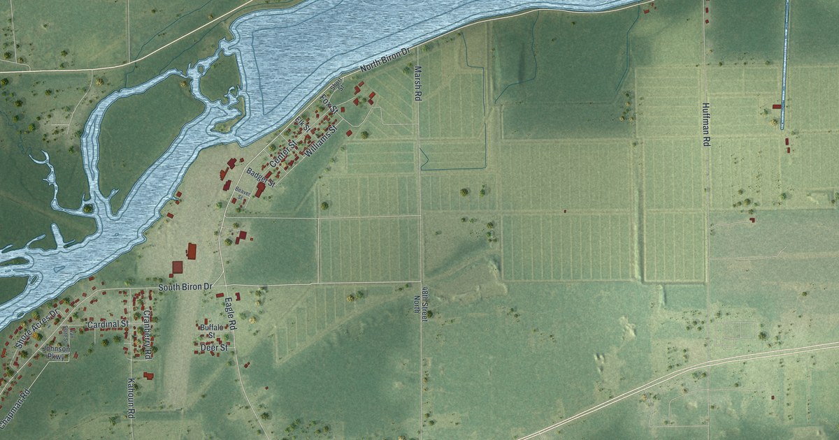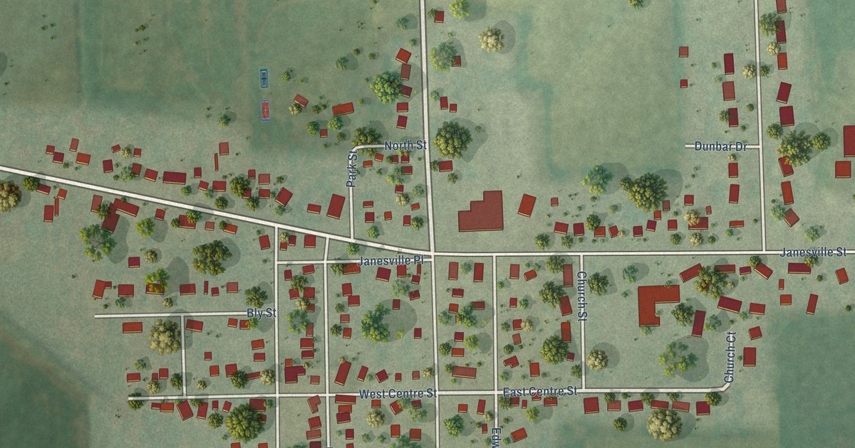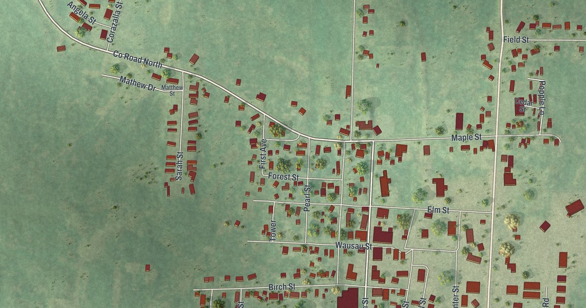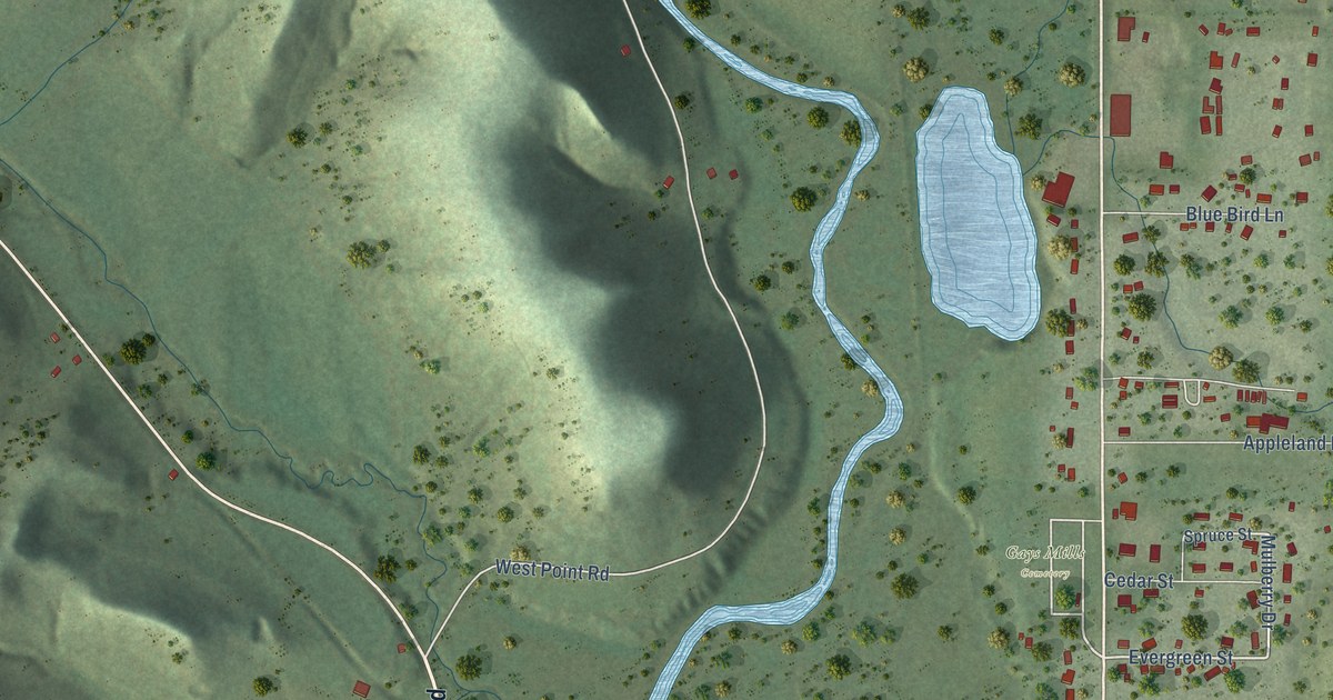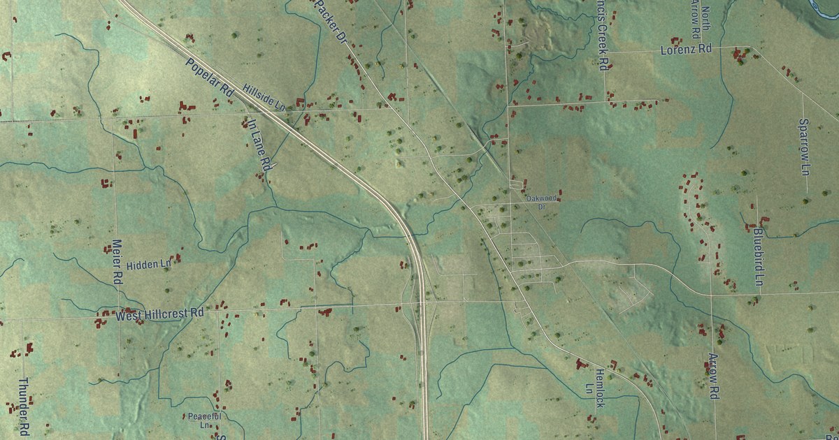
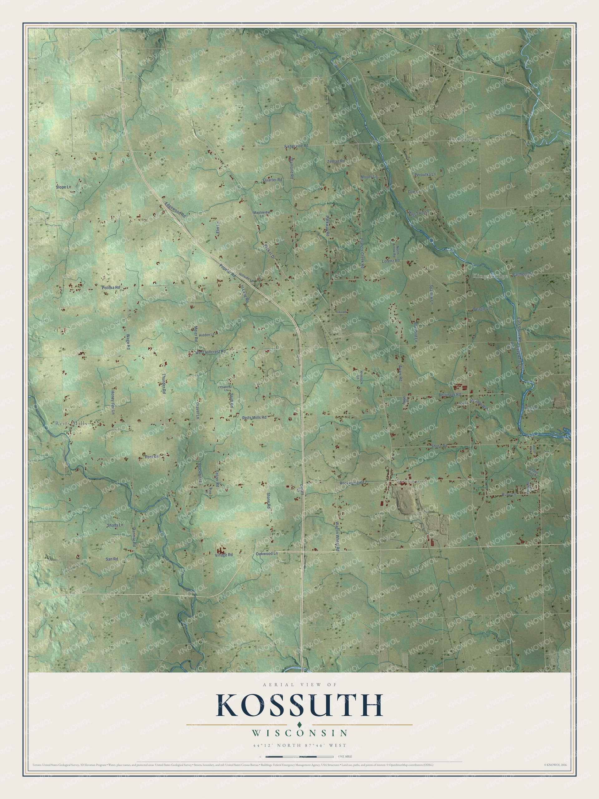
This beautifully detailed map of Kossuth, Wisconsin was created in 2026 using aerial imagery combined with modern topographical, census, street and landmark data. It's a modern aerial view of Kossuth in Manitowoc County, Wisconsin, that combines modern data with a vintage aesthetic. The roads feature printed names, and if you look closely you can find your exact house accurately shown in its correct location.
Explore an aerial view of Kossuth, Wisconsin
On this map you'll find Kingsbridge, Rockwood, Fisherville, Reifs Mills, Packer Drive, In Lane Road, Fisherville Road, Rockwood Road, Reifs Mills Road, Thunder Road, Polifka Road, West Hillcrest Road, and more. Each red shape is a building, so zoom in on the preview and look for yours.
Every town has a first chapter, and Kossuth is no exception. The History of Northern Wisconsin puts it this way: "In 1843, Joseph Poquin came to Kossuth Town, and was for many years a tavern keeper. The influx of population took place in 1847, and two years later Michael Kellner settled in the northern part of the town, and gave his name to the village there."
Kossuth is a town in Manitowoc County. The Census Bureau counted 1,969 people here in 2020.
Take a closer look at the Kossuth map
Names on this map
These names are printed on this map.
Places: Kingsbridge, Rockwood, Fisherville and Reifs Mills.
Streets and roads: Packer Drive, In Lane Road, Fisherville Road, Rockwood Road, Reifs Mills Road, Thunder Road, Polifka Road, West Hillcrest Road, Stone Road, Diamond Road, Parkway Road, Shoto Road.
More street names, A to Z
Angel Court, Arabian Way, Arrow Road, Barthels Road, Beagle Lane, Berringer Road, Bitto Lane, Blackbird Lane, Bluebird Lane, Canary Lane, Cardinal Lane, Danmar Road, Doe Lane, East Shore Road, Edgewood Road, Elm Lane, Fetzer Road, Francis Creek Road, Gravel Lane, Hemlock Lane, Hidden Lane, Hillside Lane, Honey Bee Lane, Kisty-Bob Lane, Lazy Acre Lane, Lorenz Road, Mapleview Lane, Meadow Way, Meier Road, Moody Lane, North Arrow Road, Oakwood Drive, Oakwood Lane, Peaceful Lane, Peroutka Lane, Pheasant Circle, Pine Lane, Popelar Road, Post Road, Quarter Road, Ruby Lane, San Road, Seidl Road, Shady Lane, Shoto Pit Lane, Slope Lane, Sparrow Lane, Village Road, Wage Road, Wagon Wheel Road, West Twin Lane, Zeman Road.
Created by KNOWOL in 2026. The buildings are small red shapes, the roads carry their printed names, and shaded relief shows the shape of the land. The title panel reads "AERIAL VIEW OF KOSSUTH, WISCONSIN" with 44°12' NORTH 87°46' WEST.
Hang it in the hallway, the office or the cabin, or give it to someone who left Kossuth and still calls it home. Open the preview and look for a street you know. See sizes and frames for the Kossuth map.